Madam's Hill

Hill, Mountain in Worcestershire Wychavon

England

Madam's Hill

Farmland near Shell Farmland to the west of Shell.
Farmland near Shell Credit: Philip Halling

Madam's Hill is a prominent feature located in Worcestershire, England. Situated in the Malvern Hills Area of Outstanding Natural Beauty, this hill stands at an elevation of approximately 325 meters (1,066 feet) above sea level. It is a part of the larger Malvern Hills ridge, which stretches over 13 kilometers (8 miles) from Worcestershire Beacon to Herefordshire Beacon.

Madam's Hill offers breathtaking panoramic views of the surrounding countryside. Its summit provides a vantage point from which visitors can admire the picturesque Malvern Hills landscape, characterized by rolling green hills, dense woodlands, and charming rural villages. On clear days, one can even see as far as the Cotswolds and the Welsh mountains.

The hill's name, Madam's Hill, has an intriguing origin. It is said to have been named after a local woman who used to walk her dogs in the area during the late 19th century. Her fondness for this particular hill led the locals to affectionately refer to it as "Madam's Hill," a name that has endured to this day.

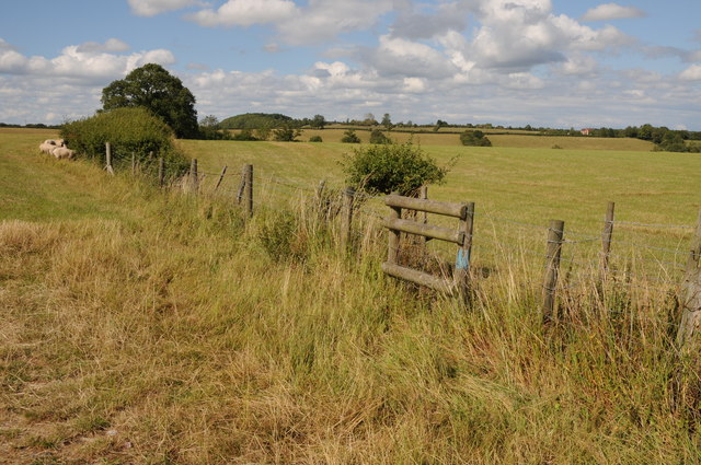
Madam's Hill is a popular destination for outdoor enthusiasts, offering a range of activities. It is a favorite spot for hikers and walkers, with various trails leading to and around the hill. The Worcestershire Way, a long-distance footpath, passes nearby, providing an opportunity for longer treks through the stunning countryside.

Overall, Madam's Hill is a cherished natural landmark in Worcestershire, offering visitors a chance to connect with nature, enjoy breathtaking views, and immerse themselves in the beauty of the Malvern Hills.

If you have any feedback on the listing, please let us know in the comments section below.

Madam's Hill Images

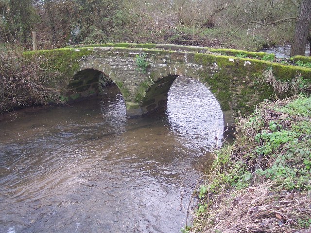
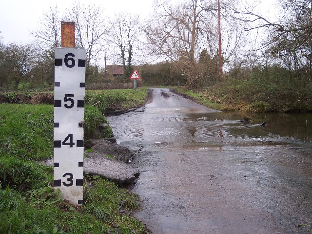
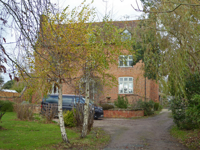
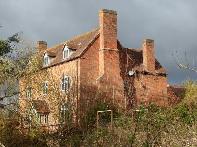
Images are sourced within 2km of 52.252417/-2.0726709 or Grid Reference SO9561. Thanks to Geograph Open Source API. All images are credited.
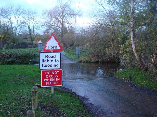
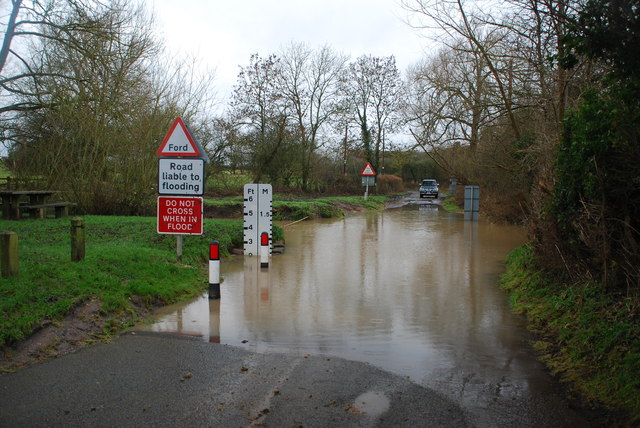
Farmland near Shell Farmland to the west of Shell.
Farmland near Shell
Farmland to the west of Shell.
Ford at Shell The ford close to the hamlet of Shell
Ford at Shell
The ford close to the hamlet of Shell
Picnic Site at Shell The small [1 table!] picnic site and footbridge at Shell beside the ford
Picnic Site at Shell
The small [1 table!] picnic site and footbridge at Shell beside the ford
Shell Ford This ford on the Shell Brook was two and a half foot deep at the time of my visit as can be seen in the video:
<span class="nowrap"><a title="http://www.youtube.com/watch?v=p7t1kvldoZU" rel="nofollow ugc noopener" href="http://www.youtube.com/watch?v=p7t1kvldoZU">Link</a><img style="margin-left:2px;" alt="External link" title="External link - shift click to open in new window" src="https://s1.geograph.org.uk/img/external.png" width="10" height="10"/></span>
Shell Ford
This ford on the Shell Brook was two and a half foot deep at the time of my visit as can be seen in the video: LinkExternal link
Shell Manor Farm. Shell Manor, a fine timbered house with work dating from the 14th to 16th century
Shell Manor Farm.
Shell Manor, a fine timbered house with work dating from the 14th to 16th century
Pedestrian Bridge by Shell Ford A warning notice, in these days of blame culture, reads "No Safety Rails On Bridge", "Cyclists Dismount" and "Pedestrians Please Take Care".
Pedestrian Bridge by Shell Ford
A warning notice, in these days of blame culture, reads "No Safety Rails On Bridge", "Cyclists Dismount" and "Pedestrians Please Take Care".
Shell Ford The water indicator is in feet. Looking west. For more information see:
<span class="nowrap"><a title="http://vamp.idlers.org/~jaffa/worcestershire.htm#shellford" rel="nofollow ugc noopener" href="http://vamp.idlers.org/~jaffa/worcestershire.htm#shellford">Link</a><img style="margin-left:2px;" alt="External link" title="External link - shift click to open in new window" src="https://s1.geograph.org.uk/img/external.png" width="10" height="10"/></span> 
 or 
<span class="nowrap"><a title="http://worcestershire.whub.org.uk/home/wccindex/wcc-countryside/wcc-countryside-sites.htm" rel="nofollow ugc noopener" href="http://worcestershire.whub.org.uk/home/wccindex/wcc-countryside/wcc-countryside-sites.htm">Link</a><img style="margin-left:2px;" alt="External link" title="External link - shift click to open in new window" src="https://s1.geograph.org.uk/img/external.png" width="10" height="10"/></span>
Shell Ford
The water indicator is in feet. Looking west. For more information see: LinkExternal link or LinkExternal link
Shell Ford Shell Ford near Earl's Common viewed from the pedestrian footbridge.  This is one of a number of fords crossing Shell Brook.
Shell Ford
Shell Ford near Earl's Common viewed from the pedestrian footbridge. This is one of a number of fords crossing Shell Brook.
Shell Manor Shell Manor is one of a number of impressive half-timbered manor houses in this area of Worcestershire.
Shell Manor
Shell Manor is one of a number of impressive half-timbered manor houses in this area of Worcestershire.
Road junction, Shell The sign on the left warns of Shell Ford a couple of hundred metres down the road.
Road junction, Shell
The sign on the left warns of Shell Ford a couple of hundred metres down the road.
Collapsed building, Shell Only the roof remains and that doesn't look too good.
Collapsed building, Shell
Only the roof remains and that doesn't look too good.
Part of Shell Manor Farm
Shell Ford and foot bridge I'm stood on the very edge of the ford looking towards the foot bridge. There is a picnic area on the extreme left.
Shell Ford and foot bridge
I'm stood on the very edge of the ford looking towards the foot bridge. There is a picnic area on the extreme left.
Mere Green Farmhouse Grade II Listed. Listed as in Hanbury ward. The view from the public road. There are two further listed buildings in the complex but there are no good trespass free views.
Mere Green Farmhouse
Grade II Listed. Listed as in Hanbury ward. The view from the public road. There are two further listed buildings in the complex but there are no good trespass free views.
Mere Green Farmhouse Grade II Listed. This was the best view I could manage from a public place. The complex includes two further listed buildings but I could not get a meaningful view of those from public places.
Mere Green Farmhouse
Grade II Listed. This was the best view I could manage from a public place. The complex includes two further listed buildings but I could not get a meaningful view of those from public places.
Well Cottage, Hanbury A 17th century house with a thatched roof, Listed Grade II.
Well Cottage, Hanbury
A 17th century house with a thatched roof, Listed Grade II.
Well Cottage, Hanbury A 17th century thatched dwelling, Listed Grade II.
Well Cottage, Hanbury
A 17th century thatched dwelling, Listed Grade II.
Dovecote by Pumphouse Farm Early 17th century dovecote, Listed Grade II. Difficult to get a clear view over the hedge from the public road. There is no convenient public footpath here.
Dovecote by Pumphouse Farm
Early 17th century dovecote, Listed Grade II. Difficult to get a clear view over the hedge from the public road. There is no convenient public footpath here.
Show me another place!

Madam's Hill is located at Grid Ref: SO9561 (Lat: 52.252417, Lng: -2.0726709)

Administrative County: Worcestershire

District: Wychavon

Police Authority: West Mercia

What 3 Words

///sagging.airfields.fire. Near Stoke Prior, Worcestershire

Related Wikis

Mere Green, Worcestershire

Mere Green is a hamlet in the English county of Worcestershire. It is located south of the village of Hanbury roughly midway between Worcester and Redditch...

Shell, Worcestershire

Shell is a hamlet in the civil parish of Himbleton, in the Wychavon district, in the county of Worcestershire, England. It is 7 miles from Worcester. In...

Hanbury Hall

Hanbury Hall is a large 18th-century stately home standing in parkland at Hanbury, Worcestershire. The main range has two storeys and is built of red brick...

Droitwich Road railway station

Droitwich Road railway station served the town of Droitwich Spa, Worcestershire, England, from 1840 to 1855 on the Birmingham and Gloucester Railway....

Nearby Amenities

Located within 500m of 52.252417,-2.0726709
Power: pole
Lat/Long: 52.2486623/-2.0701708
Power: pole
Lat/Long: 52.2523867/-2.0694588
Little Lodge Poultry Unit
Power: pole
Transformer: distribution
Voltage Primary: 11000
Lat/Long: 52.2512769/-2.0673343
Mere Hall
Power: pole
Transformer: distribution
Voltage Primary: 11000
Lat/Long: 52.254134/-2.0727979
Location Transition: yes
Power: pole
Lat/Long: 52.2544509/-2.0737582
Power: pole
Lat/Long: 52.2533869/-2.0705931
Power: pole
Lat/Long: 52.2515462/-2.0684823
Power: pole
Lat/Long: 52.2492767/-2.0698934
Power: pole
Lat/Long: 52.2529961/-2.0701372
Power: pole
Lat/Long: 52.2499237/-2.0695983
Power: pole
Lat/Long: 52.2537563/-2.0716794
Power: pole
Lat/Long: 52.2539599/-2.0722883
Power: pole
Lat/Long: 52.2510961/-2.0692228
Power: pole
Lat/Long: 52.2519813/-2.0689923
Power: pole
Lat/Long: 52.2536218/-2.0669427
Little Lodge Drive
Power: pole
Transformer: distribution
Voltage Primary: 11000
Lat/Long: 52.2521062/-2.0658603
Power: pole
Lat/Long: 52.2526727/-2.0687664
Broughton Green
Power: pole
Transformer: distribution
Voltage Primary: 11000
Lat/Long: 52.2486665/-2.0696133
Power: pole
Lat/Long: 52.2530225/-2.073542
Broughton Court
Power: pole
Transformer: distribution
Voltage Primary: 11000
Lat/Long: 52.2523394/-2.0756046
Power: pole
Lat/Long: 52.2525562/-2.0746578
Power: pole
Lat/Long: 52.2533714/-2.0729975
Power: pole
Lat/Long: 52.251626/-2.0667185
The data included in this document is from www.openstreetmap.org. The data is made available under ODbL.

Have you been to Madam's Hill?

Leave your review of Madam's Hill below (or comments, questions and feedback).