Broughton Green

Settlement in Worcestershire Wychavon

England

Broughton Green

Farmland near Shell Farmland to the west of Shell.
Farmland near Shell Credit: Philip Halling

Broughton Green is a small village located in Worcestershire, England. Situated approximately 7 miles southeast of the city of Worcester, it falls within the administrative district of Wychavon. The village is nestled in a picturesque rural setting, surrounded by lush green fields and rolling hills characteristic of the Worcestershire countryside.

Broughton Green is home to a tight-knit community of residents who enjoy the tranquility and charm of village life. The village primarily consists of traditional stone houses and cottages, giving it a quintessential English village aesthetic. The local church, St. Barnabas, stands proudly in the heart of the village, serving as a focal point for both religious and community gatherings.

Despite its small size, Broughton Green benefits from a range of amenities and services. These include a village hall, which serves as a hub for various local events and activities, as well as a primary school providing education for the village's younger residents. The village also has a pub, offering a warm and friendly atmosphere for locals and visitors alike.

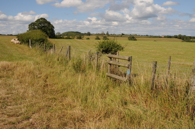
Surrounding Broughton Green, the Worcestershire countryside offers ample opportunities for outdoor pursuits. Residents and visitors can explore the nearby walking trails, enjoy scenic cycling routes, or partake in fishing activities in the nearby rivers and lakes. The village's proximity to Worcester provides convenient access to a wider range of amenities, including shopping centers, restaurants, and entertainment venues.

In summary, Broughton Green is a charming and idyllic village in Worcestershire, offering a peaceful rural lifestyle and a strong sense of community. With its picturesque surroundings and access to local amenities, it provides an attractive living environment for its residents.

If you have any feedback on the listing, please let us know in the comments section below.

Broughton Green Images

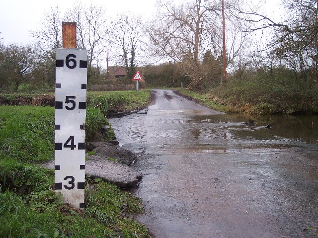
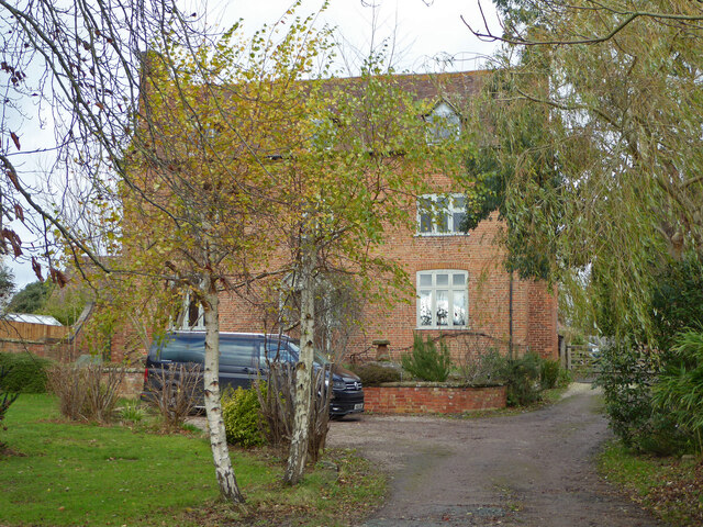
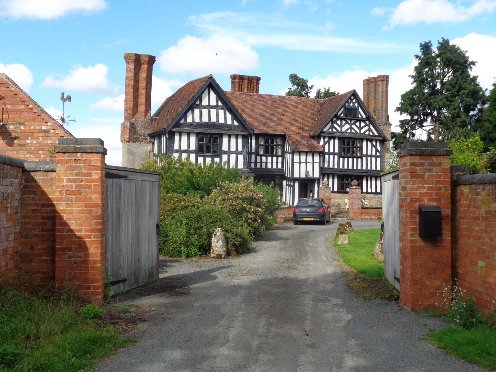
Images are sourced within 2km of 52.247577/-2.067346 or Grid Reference SO9561. Thanks to Geograph Open Source API. All images are credited.
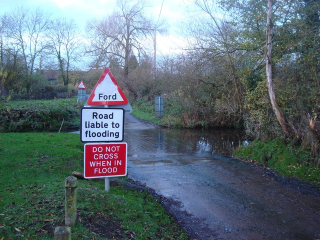
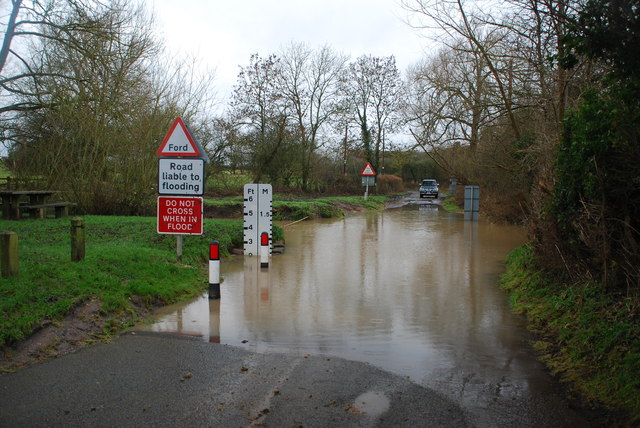
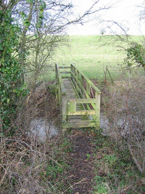
Farmland near Shell Farmland to the west of Shell.
Farmland near Shell
Farmland to the west of Shell.
Ford at Shell The ford close to the hamlet of Shell
Ford at Shell
The ford close to the hamlet of Shell
Picnic Site at Shell The small [1 table!] picnic site and footbridge at Shell beside the ford
Picnic Site at Shell
The small [1 table!] picnic site and footbridge at Shell beside the ford
Shell Ford This ford on the Shell Brook was two and a half foot deep at the time of my visit as can be seen in the video:
<span class="nowrap"><a title="http://www.youtube.com/watch?v=p7t1kvldoZU" rel="nofollow ugc noopener" href="http://www.youtube.com/watch?v=p7t1kvldoZU">Link</a><img style="margin-left:2px;" alt="External link" title="External link - shift click to open in new window" src="https://s1.geograph.org.uk/img/external.png" width="10" height="10"/></span>
Shell Ford
This ford on the Shell Brook was two and a half foot deep at the time of my visit as can be seen in the video: LinkExternal link
Shell Manor Farm. Shell Manor, a fine timbered house with work dating from the 14th to 16th century
Shell Manor Farm.
Shell Manor, a fine timbered house with work dating from the 14th to 16th century
Shell Brook Footbridge over the Shell Brook. - the good news is that the bull is a Hereford. This breed is making a comeback.
Shell Brook
Footbridge over the Shell Brook. - the good news is that the bull is a Hereford. This breed is making a comeback.
Pedestrian Bridge by Shell Ford A warning notice, in these days of blame culture, reads "No Safety Rails On Bridge", "Cyclists Dismount" and "Pedestrians Please Take Care".
Pedestrian Bridge by Shell Ford
A warning notice, in these days of blame culture, reads "No Safety Rails On Bridge", "Cyclists Dismount" and "Pedestrians Please Take Care".
Shell Ford The water indicator is in feet. Looking west. For more information see:
<span class="nowrap"><a title="http://vamp.idlers.org/~jaffa/worcestershire.htm#shellford" rel="nofollow ugc noopener" href="http://vamp.idlers.org/~jaffa/worcestershire.htm#shellford">Link</a><img style="margin-left:2px;" alt="External link" title="External link - shift click to open in new window" src="https://s1.geograph.org.uk/img/external.png" width="10" height="10"/></span> 
 or 
<span class="nowrap"><a title="http://worcestershire.whub.org.uk/home/wccindex/wcc-countryside/wcc-countryside-sites.htm" rel="nofollow ugc noopener" href="http://worcestershire.whub.org.uk/home/wccindex/wcc-countryside/wcc-countryside-sites.htm">Link</a><img style="margin-left:2px;" alt="External link" title="External link - shift click to open in new window" src="https://s1.geograph.org.uk/img/external.png" width="10" height="10"/></span>
Shell Ford
The water indicator is in feet. Looking west. For more information see: LinkExternal link or LinkExternal link
Shell Ford Shell Ford near Earl's Common viewed from the pedestrian footbridge.  This is one of a number of fords crossing Shell Brook.
Shell Ford
Shell Ford near Earl's Common viewed from the pedestrian footbridge. This is one of a number of fords crossing Shell Brook.
Shell Manor Shell Manor is one of a number of impressive half-timbered manor houses in this area of Worcestershire.
Shell Manor
Shell Manor is one of a number of impressive half-timbered manor houses in this area of Worcestershire.
Road junction, Shell The sign on the left warns of Shell Ford a couple of hundred metres down the road.
Road junction, Shell
The sign on the left warns of Shell Ford a couple of hundred metres down the road.
Road to Lower Hollowfields Farm
Country road near Shell A milepost can be seen in the hedge on the left.
Country road near Shell
A milepost can be seen in the hedge on the left.
Milepost near Shell 'To Worcester Cross 9 Miles'
Milepost near Shell
'To Worcester Cross 9 Miles'
Collapsed building, Shell Only the roof remains and that doesn't look too good.
Collapsed building, Shell
Only the roof remains and that doesn't look too good.
Part of Shell Manor Farm
Shell Ford and foot bridge I'm stood on the very edge of the ford looking towards the foot bridge. There is a picnic area on the extreme left.
Shell Ford and foot bridge
I'm stood on the very edge of the ford looking towards the foot bridge. There is a picnic area on the extreme left.
Mere Green Farmhouse Grade II Listed. Listed as in Hanbury ward. The view from the public road. There are two further listed buildings in the complex but there are no good trespass free views.
Mere Green Farmhouse
Grade II Listed. Listed as in Hanbury ward. The view from the public road. There are two further listed buildings in the complex but there are no good trespass free views.
Show me another place!

Broughton Green is located at Grid Ref: SO9561 (Lat: 52.247577, Lng: -2.067346)

Administrative County: Worcestershire

District: Wychavon

Police Authority: West Mercia

What 3 Words

///crowbar.appealing.shears. Near Stoke Prior, Worcestershire

Related Wikis

Mere Green, Worcestershire

Mere Green is a hamlet in the English county of Worcestershire. It is located south of the village of Hanbury roughly midway between Worcester and Redditch...

Shell, Worcestershire

Shell is a hamlet in the civil parish of Himbleton, in the Wychavon district, in the county of Worcestershire, England. It is 7 miles from Worcester. In...

Earls Common

Earls Common is a village in Worcestershire, England. Villages nearby include Himbleton and Stock Green.

Himbleton

Himbleton is a village and civil parish in the Wychavon district, in the county of Worcestershire, England. It lies about 5 miles (8.0 km) south-east of...

Nearby Amenities

Located within 500m of 52.247577,-2.067346
Broughton Green
Place: hamlet
Source: NPE
Lat/Long: 52.2464792/-2.0660471
Post Box
Collection Times: Mo-Fr 16:00; Sa 09:00
Post Box Type: lamp
Ref: WR9 339
Royal Cypher: EIIR
Royal Cypher Wikidata: Q33102113
Lat/Long: 52.2487372/-2.0657656
Power: pole
Lat/Long: 52.2468382/-2.0710593
Power: pole
Lat/Long: 52.2486623/-2.0701708
Power: pole
Lat/Long: 52.2462513/-2.0715128
Power: pole
Lat/Long: 52.2475921/-2.0706798
Power: pole
Lat/Long: 52.2453188/-2.0722386
Little Lodge Poultry Unit
Power: pole
Transformer: distribution
Voltage Primary: 11000
Lat/Long: 52.2512769/-2.0673343
Power: pole
Lat/Long: 52.2515462/-2.0684823
Power: pole
Lat/Long: 52.2492767/-2.0698934
Power: pole
Lat/Long: 52.2499237/-2.0695983
Power: pole
Lat/Long: 52.2510961/-2.0692228
Temple Broughton Farm
Power: pole
Transformer: distribution
Voltage Primary: 11000
Lat/Long: 52.2466865/-2.0692337
Power: pole
Lat/Long: 52.2468503/-2.0698252
Broughton Green
Power: pole
Transformer: distribution
Voltage Primary: 11000
Lat/Long: 52.2486665/-2.0696133
Power: pole
Lat/Long: 52.2486854/-2.0682728
Power: pole
Lat/Long: 52.2485105/-2.0674045
Power: pole
Lat/Long: 52.248387/-2.0667674
Power: pole
Lat/Long: 52.2482556/-2.0660754
Broughton Green East
Power: pole
Transformer: distribution
Voltage Primary: 11000
Lat/Long: 52.247873/-2.0658441
Power: pole
Lat/Long: 52.2474452/-2.0655558
Power: pole
Lat/Long: 52.2469016/-2.0652004
Power: pole
Lat/Long: 52.2464048/-2.0646049
Power: pole
Lat/Long: 52.246239/-2.0642763
Power: pole
Lat/Long: 52.2455771/-2.0628682
Duggards
Power: pole
Transformer: distribution
Voltage Primary: 11000
Lat/Long: 52.2451165/-2.0618972
Power: pole
Lat/Long: 52.251626/-2.0667185
The data included in this document is from www.openstreetmap.org. The data is made available under ODbL.

Have you been to Broughton Green?

Leave your review of Broughton Green below (or comments, questions and feedback).