Howen's Coppice
Wood, Forest in Dorset
England
Howen's Coppice
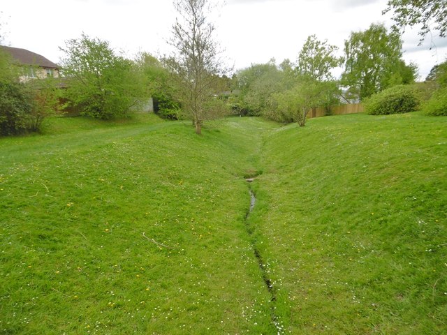
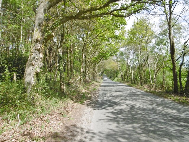
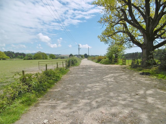
Howen's Coppice is a picturesque woodland located in the county of Dorset, England. Spread across an area of approximately 50 acres, this enchanting forest is a haven for nature enthusiasts and those seeking tranquility away from the hustle and bustle of city life.
The woodland is predominantly composed of native broadleaf trees such as oak, beech, and ash, which create a lush and vibrant canopy that stretches high above. These majestic trees provide a habitat for a diverse range of wildlife, including deer, badgers, foxes, and a variety of bird species.
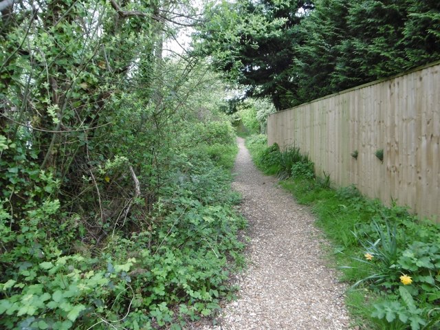
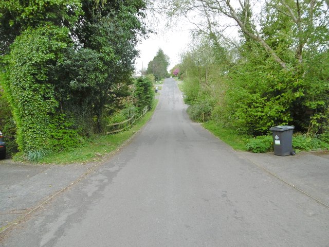
Traversing through Howen's Coppice, visitors are greeted by a network of well-maintained footpaths that wind their way through the forest, offering opportunities for leisurely strolls and peaceful hikes. The paths are often lined with wildflowers, adding a splash of color to the natural beauty of the surroundings.
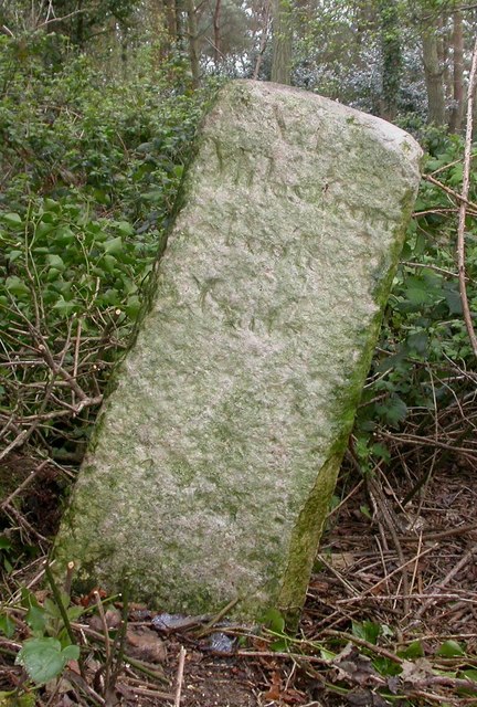
For those interested in the history of the area, Howen's Coppice is known for its historical significance. It is believed to have been used as a source of timber for local communities dating back several centuries. Today, remnants of old logging equipment and sawpits can still be found, serving as a reminder of the forest's past.
The woodland is managed by a dedicated team of conservationists who strive to preserve its natural beauty and protect the wildlife that calls it home. They also organize guided nature walks and educational programs, providing visitors with the opportunity to learn more about the flora and fauna that inhabit the forest.
In conclusion, Howen's Coppice is a captivating woodland in Dorset, offering a serene escape into nature with its stunning trees, abundant wildlife, and rich historical heritage.
If you have any feedback on the listing, please let us know in the comments section below.
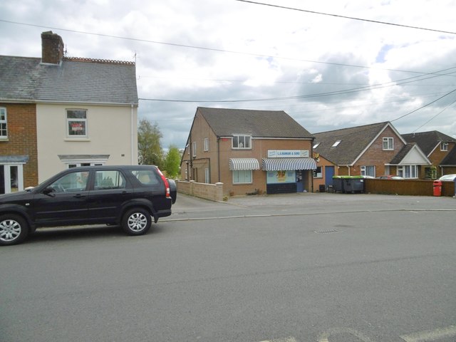
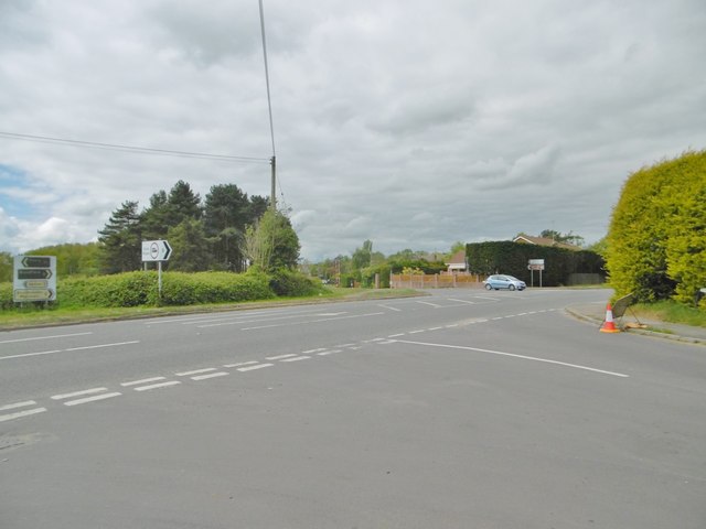
Howen's Coppice Images
Images are sourced within 2km of 50.766927/-2.0629633 or Grid Reference SY9596. Thanks to Geograph Open Source API. All images are credited.


Howen's Coppice is located at Grid Ref: SY9596 (Lat: 50.766927, Lng: -2.0629633)
Unitary Authority: Dorset
Police Authority: Dorset
What 3 Words
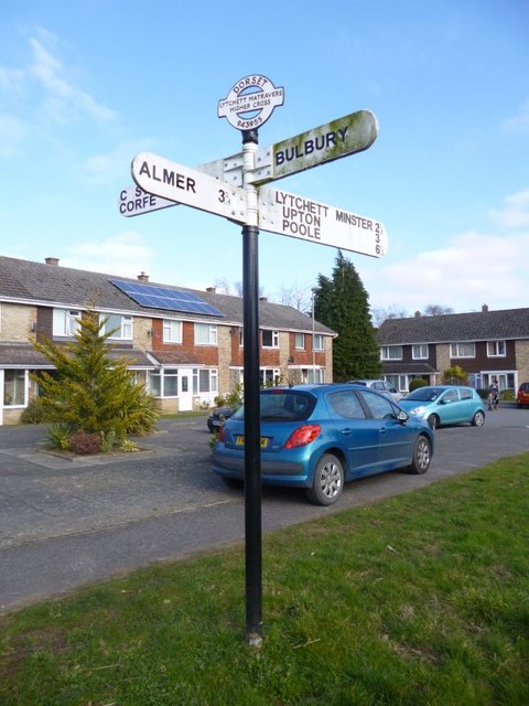
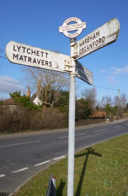
///cello.shams.televise. Near Lytchett Matravers, Dorset
Nearby Locations
Related Wikis

Barrow Hill, Dorset
Barrow Hill is a small settlement in Dorset, England, situated in the East Dorset administrative district on the A350 road approximately 4 miles (6.4 km...

Stoney Down
Stoney Down or Stony Down is both a hill and an area of forested countryside in the county of Dorset, England, that has been designated an "Area of Great...

Lytchett Matravers
Lytchett Matravers is a large village and civil parish in Dorset, England. The 2011 census recorded the parish as having 1,439 households and a population...

Lytchett Heath
Lytchett Heath is an area of woods and farmland on the Dorset Heaths between the villages of Lytchett Matravers, Lytchett Minster and the hamlet of Beacon...

St Mary the Virgin, Lytchett Matravers
St Mary the Virgin is the Church of England parish church of Lytchett Matravers in Dorset. Its parish is part of the Diocese of Salisbury. The building...

Henbury, Dorset
Henbury is a hamlet in the civil parish of Sturminster Marshall in Dorset, England. It lies on the A31 road. Henbury House is a classical Georgian house...
St Aldhelm's Church, Lytchett Heath
St Aldhelm's Church is a private church in Lytchett Heath, Dorset, England. It was designed by George Crickmay for Lord Eustace Cecil and built in 1898...

Castle Court School
Castle Court School is a co-educational, preparatory school located near the village of Corfe Mullen in the county of Dorset, England. == Location == Castle...
Nearby Amenities
Located within 500m of 50.766927,-2.0629633Have you been to Howen's Coppice?
Leave your review of Howen's Coppice below (or comments, questions and feedback).