Upton Cressett Hall

Heritage Site in Shropshire

England

Upton Cressett Hall

At the top of Underton Plantation Just off the bridleway on the way up to Meadowley; Daft Dog has picked up the scent of a pheasant or two, and has consequently developed selective hearing.
At the top of Underton Plantation Credit: Richard Law

Upton Cressett Hall is a historic manor house located in Shropshire, England. This Grade I listed building is recognized as a heritage site due to its architectural significance and historical importance.

Dating back to the 16th century, Upton Cressett Hall is a prime example of Elizabethan architecture and is regarded as one of the finest examples of a moated manor house in the country. The hall consists of a central courtyard surrounded by timber-framed buildings, with a moat encircling the entire complex.

The exterior of the hall features a striking black and white timber frame, adorned with ornate carvings and decorative elements. The interior boasts an impressive collection of original period features, including oak paneling, Tudor fireplaces, and a magnificent Great Hall with a hammer-beam ceiling.

The estate surrounding the hall is equally captivating, with beautiful gardens, a walled orchard, and a medieval chapel. The gardens are meticulously maintained and feature manicured lawns, flower beds, and a variety of trees and shrubs. The walled orchard preserves traditional fruit trees and offers a serene retreat for visitors.

Upton Cressett Hall has a rich history, having been home to several notable families over the centuries. The hall has also hosted distinguished guests, including Queen Elizabeth I. Today, the hall is privately owned and occasionally opens its doors to the public, offering guided tours and hosting special events such as weddings and concerts. It is a cherished heritage site, representing the architectural and cultural heritage of Shropshire.

If you have any feedback on the listing, please let us know in the comments section below.

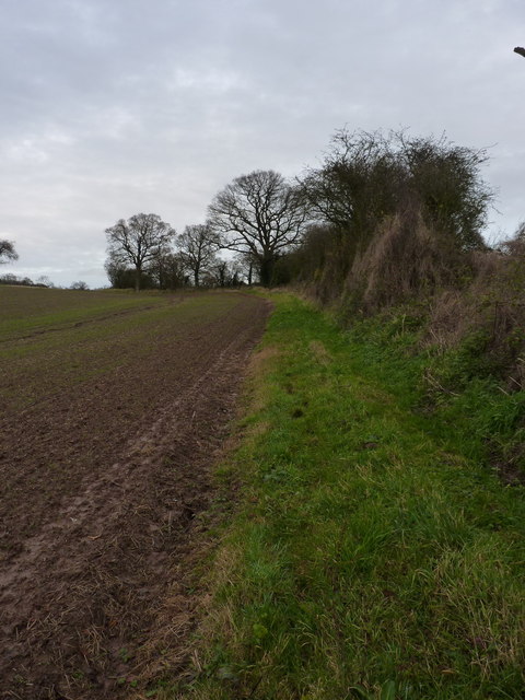
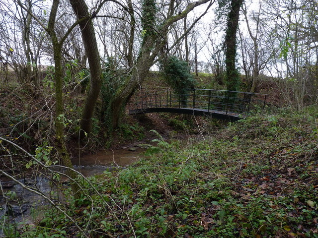
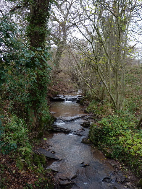
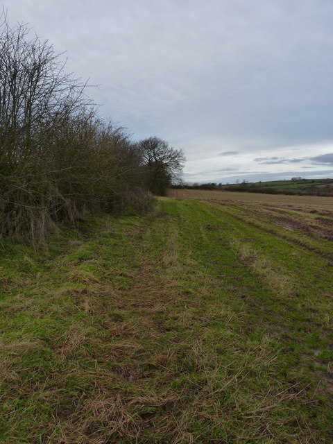
Upton Cressett Hall Images

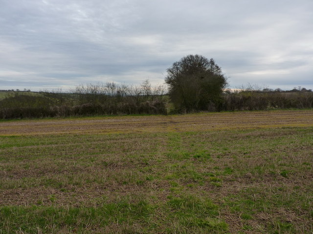
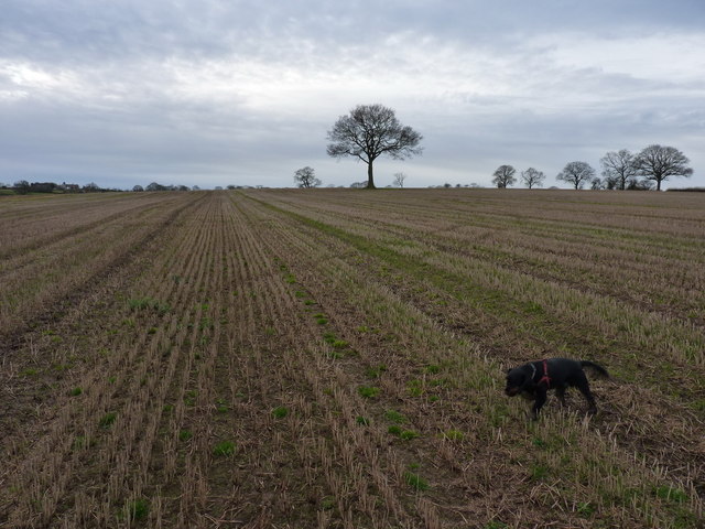
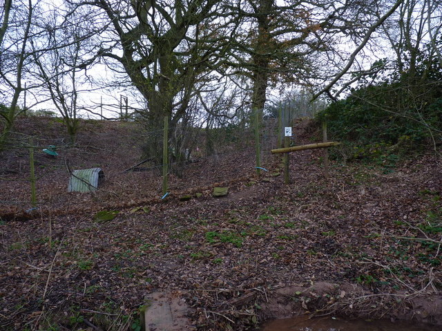
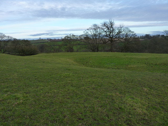
Images are sourced within 2km of 52.528/-2.508 or Grid Reference SO6592. Thanks to Geograph Open Source API. All images are credited.

At the top of Underton Plantation Just off the bridleway on the way up to Meadowley; Daft Dog has picked up the scent of a pheasant or two, and has consequently developed selective hearing.
At the top of Underton Plantation
Just off the bridleway on the way up to Meadowley; Daft Dog has picked up the scent of a pheasant or two, and has consequently developed selective hearing.
No longer a pond Despite the recent deluges of November 2012, this marked pond on the hill is just a dried depression.
No longer a pond
Despite the recent deluges of November 2012, this marked pond on the hill is just a dried depression.
This pond still exists Unlike the small pool just to its SE <a href="https://www.geograph.org.uk/photo/3246599">SO6792 : No longer a pond</a>, this pond still contains water. It could do with some work to remove the encroaching trees.
This pond still exists
Unlike the small pool just to its SE SO6792 : No longer a pond, this pond still contains water. It could do with some work to remove the encroaching trees.
The farm track & bridleway into Meadowley Clearly quite a well-used but unsurfaced track.
The farm track & bridleway into Meadowley
Clearly quite a well-used but unsurfaced track.
Inquisitive horse at Meadowley This horse really took a very close interest in myself and Daft Dog as we walked through 'his' field near the farm; despite actually being friendly, he was quite intimidating.
Inquisitive horse at Meadowley
This horse really took a very close interest in myself and Daft Dog as we walked through 'his' field near the farm; despite actually being friendly, he was quite intimidating.
A footpath diversion south of Meadowley The true right of way runs through the crop about 100 yards to the west (left) of here, and is marked by three or four oaks on the line of an old hedge, but the field margin appears to have been left unploughed as an easier alternative.
A footpath diversion south of Meadowley
The true right of way runs through the crop about 100 yards to the west (left) of here, and is marked by three or four oaks on the line of an old hedge, but the field margin appears to have been left unploughed as an easier alternative.
A proper footbridge A really rather substantial steel bridge over a small tributary of the Borle Brook.
A proper footbridge
A really rather substantial steel bridge over a small tributary of the Borle Brook.
Upton Cressett brook Not sure if that is the correct name for this minor tributary of the Borle Brook, but since it rises on the hills just above the hamlet in <a href="https://www.geograph.org.uk/gridref/SO6592">SO6592</a>, it seems quite suitable. Photo taken from the steel bridge in <a href="https://www.geograph.org.uk/photo/3246618">SO6691 : A proper footbridge</a>.
Upton Cressett brook
Not sure if that is the correct name for this minor tributary of the Borle Brook, but since it rises on the hills just above the hamlet in SO6592, it seems quite suitable. Photo taken from the steel bridge in SO6691 : A proper footbridge.
A field-edge path to Upton Cressett
Footpath emerges onto an open field After following the hedge line for a third of a mile from the brook in <a href="https://www.geograph.org.uk/photo/3246626">SO6691 : Upton Cressett brook</a>, the path emerges onto an open field at this gateway.
Footpath emerges onto an open field
After following the hedge line for a third of a mile from the brook in SO6691 : Upton Cressett brook, the path emerges onto an open field at this gateway.
A field of stubble near Upton Cressett Unlike most around here, this one's not been ploughed up and planted with winter wheat this autumn.
A field of stubble near Upton Cressett
Unlike most around here, this one's not been ploughed up and planted with winter wheat this autumn.
Pheasant pens near Upton Cressett Rearing pens for pheasants - the whole area was alive with the birds (much to the frustration of Daft Dog, who definitely needed to be on the lead)
Pheasant pens near Upton Cressett
Rearing pens for pheasants - the whole area was alive with the birds (much to the frustration of Daft Dog, who definitely needed to be on the lead)
Upton Cressett medieval village These lumps, bumps, platforms and earthworks in the field reveal the old village site.
Upton Cressett medieval village
These lumps, bumps, platforms and earthworks in the field reveal the old village site.
Not much sign on the ground The maps mark this as the site of the Medieval village of Upton Cressett, but to be honest it's only with the eye of faith that this field shows much sign - just a few earthworks. The next field to the west has more lumps and bumps in <a href="https://www.geograph.org.uk/photo/3246640">SO6592 : Upton Cressett medieval village</a>, which are rather more distinct.
Not much sign on the ground
The maps mark this as the site of the Medieval village of Upton Cressett, but to be honest it's only with the eye of faith that this field shows much sign - just a few earthworks. The next field to the west has more lumps and bumps in SO6592 : Upton Cressett medieval village, which are rather more distinct.
Cottages beside the lane to Upton Cressett By the look of it, this may originally have been two cottages, but now appears to be a single dwelling.
Cottages beside the lane to Upton Cressett
By the look of it, this may originally have been two cottages, but now appears to be a single dwelling.
The summit of Aston Hill Two features lie at the summit - a small, circular concrete reservoir, and trig pillar S1992. Getting to them at this time of year involves a certain amount of plodging through sticky mud.
The summit of Aston Hill
Two features lie at the summit - a small, circular concrete reservoir, and trig pillar S1992. Getting to them at this time of year involves a certain amount of plodging through sticky mud.
Water reservoir and a trig pillar On the summit of Aston Hill at Meadowley.
Water reservoir and a trig pillar
On the summit of Aston Hill at Meadowley.
Fieldside footpath across Aston Hill The path runs on a narrow headland along the field edge, past the ash tree, and then heads across the field to the Meadowley - Aston Eyre bridleway.
Fieldside footpath across Aston Hill
The path runs on a narrow headland along the field edge, past the ash tree, and then heads across the field to the Meadowley - Aston Eyre bridleway.
Show me another place!

Upton Cressett Hall is located at Grid Ref: SO6592 (Lat: 52.528, Lng: -2.508)

Unitary Authority: Shropshire

Police Authority: West Mercia

What 3 Words

///logs.whirlwind.racetrack. Near Bridgnorth, Shropshire

Related Wikis

Upton Cressett

Upton Cressett is a village and civil parish in the English county of Shropshire. Population details for the 2011 census are shown under Aston Eyre parish...

Upton Cressett Hall

Upton Cressett Hall is an Elizabethan moated manor house in the village of Upton Cressett, Shropshire, England. It is a Grade I-listed building.The hall...

St Michael's Church, Upton Cressett

St Michael's Church, Upton Cressett, is a redundant Anglican church. It stands on a remote hillside adjacent to Upton Cressett Hall, some 5 km west of...

Upton Cressett medieval settlement

Upton Cressett medieval settlement is an archaeological site, a deserted medieval village in Shropshire, England, adjacent to the village of Upton Cressett...

Nearby Amenities

Located within 500m of 52.528,-2.508
Upton Cressett
Created By: POI Editor
Place: hamlet
Source: npe
Wikidata: Q15713101
Lat/Long: 52.5285217/-2.5071636
The data included in this document is from www.openstreetmap.org. The data is made available under ODbL.

Have you been to Upton Cressett Hall?

Leave your review of Upton Cressett Hall below (or comments, questions and feedback).