Syde

Civil Parish in Gloucestershire Cotswold

England

Syde

Brimsfield Park Farm
Brimsfield Park Farm Credit: P Gaskell

Syde is a civil parish located in the county of Gloucestershire, England. Situated in the Cotswolds, Syde is a small rural village surrounded by picturesque countryside. It is part of the Cotswold District and covers an area of approximately 3 square miles.

The village of Syde is nestled in a valley, bordered by rolling hills and meandering streams. It is known for its idyllic setting and tranquil atmosphere, making it a popular destination for those seeking a peaceful retreat. The landscape is characterized by lush green fields, ancient woodlands, and charming stone cottages.

The parish has a small population, with only a handful of households. It is primarily an agricultural community, with farming being the main occupation of its residents. The fertile land in the area supports a variety of farming activities, including livestock rearing and crop cultivation.

Despite its small size, Syde has a rich history that can be traced back to medieval times. The village features several historic buildings, including St. Mary's Church, which dates back to the 12th century. The church is a notable landmark in the area and attracts visitors interested in its architectural and historical significance.

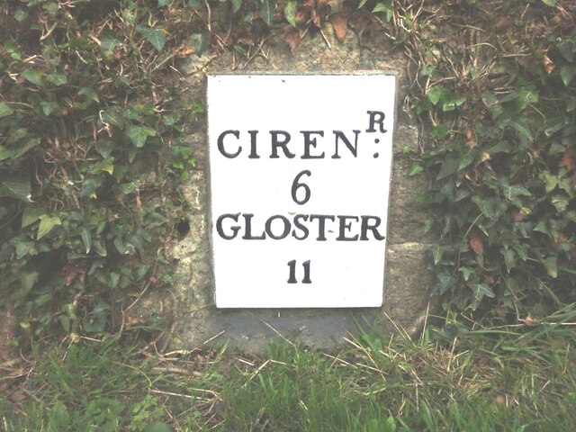
Syde offers limited amenities, with no shops or schools within the village itself. However, it is located in close proximity to larger towns and villages, such as Cirencester and Cheltenham, which provide a wider range of services and facilities.

Overall, Syde is a charming rural parish that offers a peaceful and picturesque setting, making it an attractive place for those seeking a tranquil countryside lifestyle.

If you have any feedback on the listing, please let us know in the comments section below.
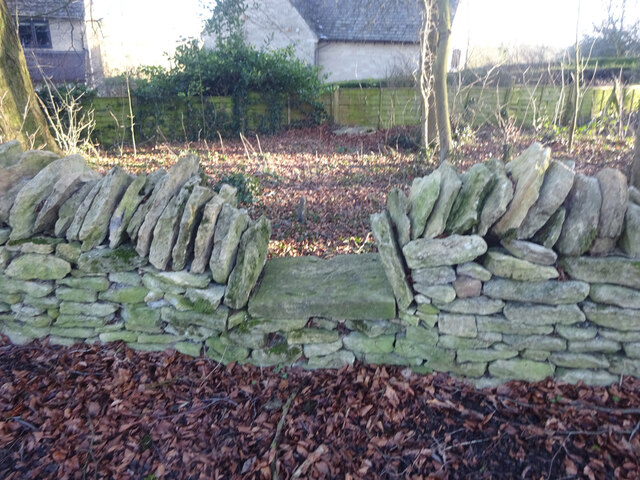
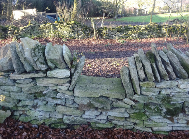
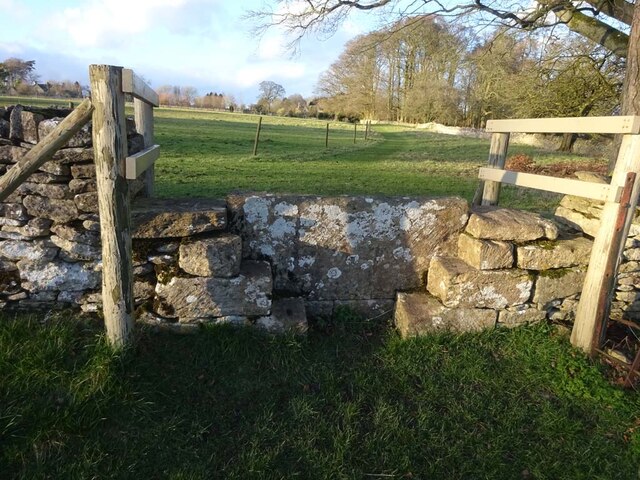
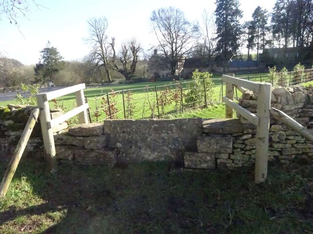
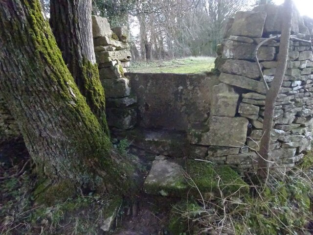
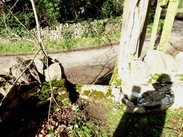
Syde Images

Images are sourced within 2km of 51.798556/-2.067023 or Grid Reference SO9511. Thanks to Geograph Open Source API. All images are credited.

Brimsfield Park Farm
Old Milestone, A417, Fosse Lodge Metal plate detached from post by the A417, in parish of WINSTONE (COTSWOLD District), Fosse Lodge, Beechpike, by the old road. Cirencester iron plate, erected by the Cirencester to Birdlip turnpike trust in the 19th century.

Inscription reads: CIRENᴿ / 6 / GLOSTER / 11

Grade II Listed. Entry Number: 1341803 <span class="nowrap"><a title="https://historicengland.org.uk/listing/the-list/list-entry/1341803" rel="nofollow ugc noopener" href="https://historicengland.org.uk/listing/the-list/list-entry/1341803">Link</a><img style="margin-left:2px;" alt="External link" title="External link - shift click to open in new window" src="https://s1.geograph.org.uk/img/external.png" width="10" height="10"/></span>

Milestone Society National ID: GL_LG96
Old Milestone, A417, Fosse Lodge
Metal plate detached from post by the A417, in parish of WINSTONE (COTSWOLD District), Fosse Lodge, Beechpike, by the old road. Cirencester iron plate, erected by the Cirencester to Birdlip turnpike trust in the 19th century. Inscription reads: CIRENᴿ / 6 / GLOSTER / 11 Grade II Listed. Entry Number: 1341803 LinkExternal link Milestone Society National ID: GL_LG96
Stone Stile, Caudle Green Looking SW towards the village.
Stone Stile, Caudle Green
Looking SW towards the village.
Stone Stile, Caudle Green A step stile on the Northern side of the road approaching the village. On Gloucestershire footpath BBR28. The view from the road side is <a href="https://www.geograph.org.uk/photo/7061298">SO9410 : Stone Stile, Caudle Green</a>.
Stone Stile, Caudle Green
A step stile on the Northern side of the road approaching the village. On Gloucestershire footpath BBR28. The view from the road side is SO9410 : Stone Stile, Caudle Green.
Stone Stile, Caudle Green A step stile on the Northern side of the road approaching the village. On Gloucestershire footpath BBR28. The view from the appreciable drop on the other side is <a href="https://www.geograph.org.uk/photo/7061296">SO9410 : Stone Stile, Caudle Green</a>.
Stone Stile, Caudle Green
A step stile on the Northern side of the road approaching the village. On Gloucestershire footpath BBR28. The view from the appreciable drop on the other side is SO9410 : Stone Stile, Caudle Green.
Stone Stile, Elkstone Not on a registered footpath, this affords access to the woodland and the well trodden path leads to the private house "Highgate". This is the view from the woodland, the alternative view from the road is <a href="https://www.geograph.org.uk/photo/7104422">SO9512 : Stone Stile, Elkstone</a>.
Stone Stile, Elkstone
Not on a registered footpath, this affords access to the woodland and the well trodden path leads to the private house "Highgate". This is the view from the woodland, the alternative view from the road is SO9512 : Stone Stile, Elkstone.
Stone Stile, Elkstone Not on a registered footpath, this affords access to the woodland and the well trodden path leads to the private house "Highgate" to the West. This is the view from the road, the alternative view from the woodland is <a href="https://www.geograph.org.uk/photo/7104421">SO9512 : Stone Stile, Elkstone</a>.
Stone Stile, Elkstone
Not on a registered footpath, this affords access to the woodland and the well trodden path leads to the private house "Highgate" to the West. This is the view from the road, the alternative view from the woodland is SO9512 : Stone Stile, Elkstone.
Stone Stile, Elkstone Looking South into a private wood off the restricted byway BEL12. The view looking back is <a href="https://www.geograph.org.uk/photo/7104604">SO9612 : Stone Stile, Elkstone</a>.
Stone Stile, Elkstone
Looking South into a private wood off the restricted byway BEL12. The view looking back is SO9612 : Stone Stile, Elkstone.
Stone Stile, Elkstone Looking North from a private wood to the restricted byway BEL12. The view looking in is <a href="https://www.geograph.org.uk/photo/7104602">SO9612 : Stone Stile, Elkstone</a>.
Stone Stile, Elkstone
Looking North from a private wood to the restricted byway BEL12. The view looking in is SO9612 : Stone Stile, Elkstone.
Stone Stile, Elkstone Looking South into a private wood off the restricted byway BEL12. The view looking back is <a href="https://www.geograph.org.uk/photo/7104622">SO9612 : Stone Stile, Elkstone</a>.
Stone Stile, Elkstone
Looking South into a private wood off the restricted byway BEL12. The view looking back is SO9612 : Stone Stile, Elkstone.
Stone Stile, Elkstone Looking North from a private wood to the restricted byway BEL12. The view looking in is <a href="https://www.geograph.org.uk/photo/7104620">SO9612 : Stone Stile, Elkstone</a>.
Stone Stile, Elkstone
Looking North from a private wood to the restricted byway BEL12. The view looking in is SO9612 : Stone Stile, Elkstone.
Stone Stile, Elkstone On Gloucestershire footpath BEL11 going North from St John's Church. The view looking South is <a href="https://www.geograph.org.uk/photo/7104837">SO9612 : Stone Stile, Elkstone</a>.
Stone Stile, Elkstone
On Gloucestershire footpath BEL11 going North from St John's Church. The view looking South is SO9612 : Stone Stile, Elkstone.
Stone Stile, Elkstone On Gloucestershire footpath BEL11 going South towards St John's Church. The view looking North is <a href="https://www.geograph.org.uk/photo/7104836">SO9612 : Stone Stile, Elkstone</a>.
Stone Stile, Elkstone
On Gloucestershire footpath BEL11 going South towards St John's Church. The view looking North is SO9612 : Stone Stile, Elkstone.
Stone Stile, Syde On Gloucestershire footpath BSY8 just South of the Manor House in Syde. This view is looking from the road, the view looking North is <a href="https://www.geograph.org.uk/photo/7104847">SO9410 : Stone Stile, Syde</a>.
Stone Stile, Syde
On Gloucestershire footpath BSY8 just South of the Manor House in Syde. This view is looking from the road, the view looking North is SO9410 : Stone Stile, Syde.
Stone Stile, Syde On Gloucestershire footpath BSY8 just South of the Manor House in Syde. This view is looking to the road, the view looking South is <a href="https://www.geograph.org.uk/photo/7104846">SO9410 : Stone Stile, Syde</a>.
Stone Stile, Syde
On Gloucestershire footpath BSY8 just South of the Manor House in Syde. This view is looking to the road, the view looking South is SO9410 : Stone Stile, Syde.
Stone Stile, Caudle Green Looking into a field at the junction of Gloucestershire footpaths MMN23 & BBR38 where the paths transition from woodland to a field sparsely populated with "meadow flowers". The soil in the field is heavily laden with stones. The view towards the woodland is <a href="https://www.geograph.org.uk/photo/7104960">SO9310 : Stone Stile, Caudle Green</a>.
Stone Stile, Caudle Green
Looking into a field at the junction of Gloucestershire footpaths MMN23 & BBR38 where the paths transition from woodland to a field sparsely populated with "meadow flowers". The soil in the field is heavily laden with stones. The view towards the woodland is SO9310 : Stone Stile, Caudle Green.
Stone Stile, Caudle Green Looking from a field at the junction of Gloucestershire footpaths MMN23 & BBR38 where the paths transition from woodland to a field sparsely populated with "meadow flowers". The soil in the field is heavily laden with stones. The view from the woodland is <a href="https://www.geograph.org.uk/photo/7104958">SO9310 : Stone Stile, Caudle Green</a>.
Stone Stile, Caudle Green
Looking from a field at the junction of Gloucestershire footpaths MMN23 & BBR38 where the paths transition from woodland to a field sparsely populated with "meadow flowers". The soil in the field is heavily laden with stones. The view from the woodland is SO9310 : Stone Stile, Caudle Green.
Stone Stile, Caudle Green Due South of the village green at the junction of Gloucestershire footpaths MMN23 & BBR25 in woodland. This point is also on the boundaries of: county constituency, civil parishes of Miserden and Brimsfield, and the county district. This is the view looking NE, the view SW is <a href="https://www.geograph.org.uk/photo/7104970">SO9410 : Stone Stile, Caudle Green</a>.
Stone Stile, Caudle Green
Due South of the village green at the junction of Gloucestershire footpaths MMN23 & BBR25 in woodland. This point is also on the boundaries of: county constituency, civil parishes of Miserden and Brimsfield, and the county district. This is the view looking NE, the view SW is SO9410 : Stone Stile, Caudle Green.
Show me another place!

Syde is located at Grid Ref: SO9511 (Lat: 51.798556, Lng: -2.067023)

Administrative County: Gloucestershire

District: Cotswold

Police Authority: Gloucestershire

What 3 Words

///shame.older.valued. Near Shurdington, Gloucestershire

Related Wikis

Syde

Syde, often in the past spelt Side, is a small village and civil parish in Gloucestershire, England. It lies in the Cotswolds, near the source of the River...

Church of St Mary the Virgin, Syde

The Anglican Church of St Mary the Virgin at Syde in the Cotswold District of Gloucestershire, England was built in the early 12th century. It is a grade...

Elkstone

Elkstone is a village and civil parish in the English county of Gloucestershire. In the 2001 United Kingdom census, the parish had a population of 203...

Winstone

Winstone is a village and civil parish in the English county of Gloucestershire. The population taken at the 2011 census was 270.Winstone forms part of...

Church of St John the Evangelist, Elkstone

The Anglican Church of St John the Evangelist at Elkstone in the Cotswold District of Gloucestershire, England was built in the 12th century. It is a grade...

Church of St Bartholomew, Winstone

The Anglican Church of St Bartholomew at Winstone in the Cotswold District of Gloucestershire, England was built in the 11th century. It is a grade I listed...

Miserden Castle

Miserden Castle was a castle near the village of Miserden in Gloucestershire, England. The castle is a large motte and bailey Norman castle, built before...

Church of St Michael, Brimpsfield

The Anglican Church of St Michael at Brimpsfield in the Cotswold District of Gloucestershire, England was built in 12th century. It is a grade I listed...

Nearby Amenities

Located within 500m of 51.798556,-2.067023
The data included in this document is from www.openstreetmap.org. The data is made available under ODbL.

Have you been to Syde?

Leave your review of Syde below (or comments, questions and feedback).