Sydenham
Civil Parish in Oxfordshire South Oxfordshire
England
Sydenham
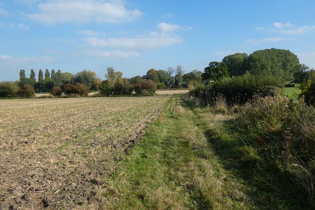
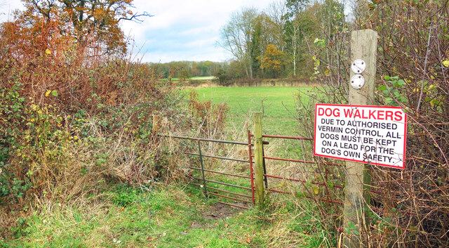
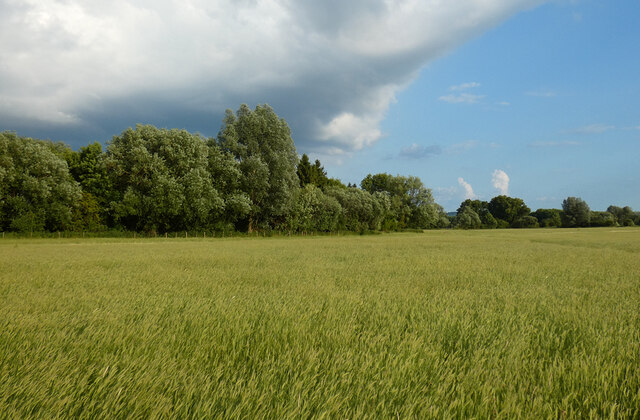
Sydenham is a civil parish located in Oxfordshire, England. Situated approximately 4 miles southeast of the town of Thame, it covers an area of about 1.5 square miles. The parish is situated in a rural setting, surrounded by picturesque countryside and farmland.
The population of Sydenham is relatively small, with around 300 residents according to the latest census data. The parish is made up of a mix of residential properties, ranging from traditional cottages to more modern houses. The village itself is characterized by its charming and quaint atmosphere, with a close-knit community feel.
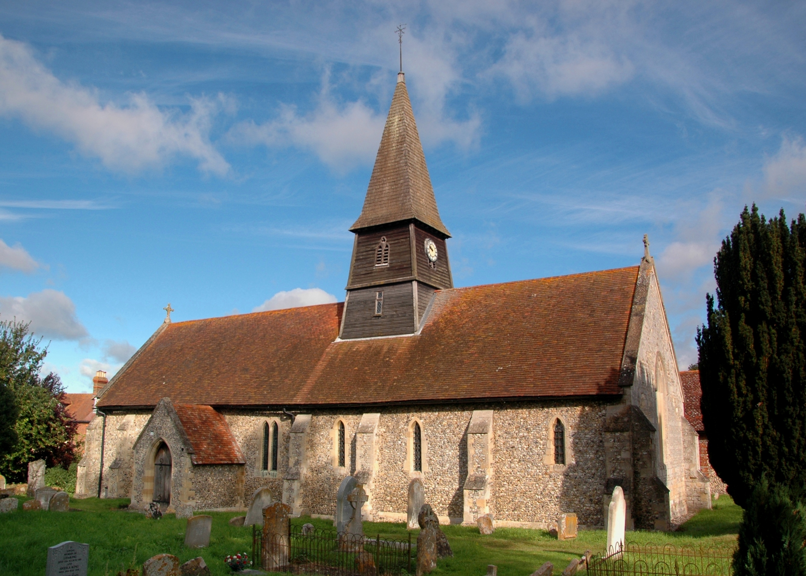
Sydenham is home to St. Mary's Church, a historic building dating back to the 13th century. The church is a notable landmark in the area and adds to the village's charm and heritage. There are also several footpaths and bridleways that crisscross the parish, providing opportunities for outdoor activities such as walking and cycling.
Despite its rural location, Sydenham benefits from its proximity to nearby amenities. The town of Thame offers a range of services including shops, supermarkets, and schools. The city of Oxford is also easily accessible, located approximately 15 miles northwest of Sydenham.
Overall, Sydenham is a peaceful and idyllic parish in Oxfordshire, offering a tranquil lifestyle in a beautiful rural setting.
If you have any feedback on the listing, please let us know in the comments section below.
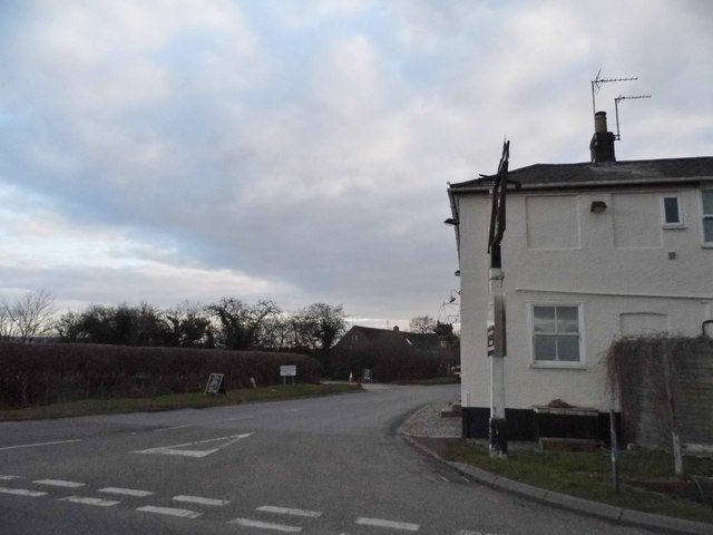
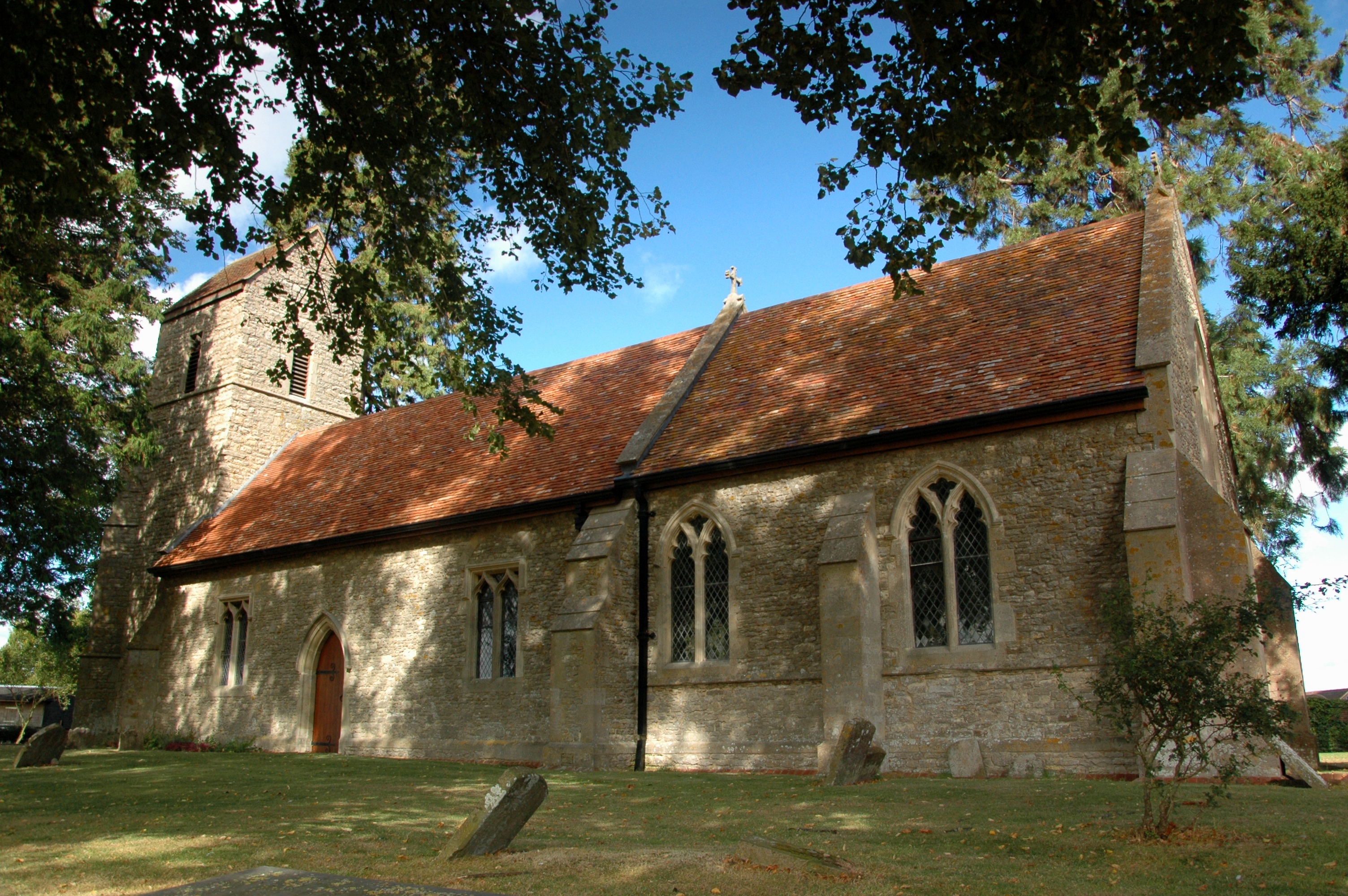
Sydenham Images
Images are sourced within 2km of 51.714827/-0.950314 or Grid Reference SP7202. Thanks to Geograph Open Source API. All images are credited.


Sydenham is located at Grid Ref: SP7202 (Lat: 51.714827, Lng: -0.950314)
Administrative County: Oxfordshire
District: South Oxfordshire
Police Authority: Thames Valley
What 3 Words
///responds.trump.actors. Near Chinnor, Oxfordshire
Nearby Locations
Related Wikis
Sydenham, Oxfordshire
Sydenham is a village and civil parish about 3 miles (5 km) southeast of Thame in Oxfordshire. To the south the parish is bounded by the ancient Lower...
Emmington
Emmington is a village in the civil parish of Chinnor, in the South Oxfordshire district, in the county of Oxfordshire, England. It is about 4.5 miles...

Thame Abbey
Thame Abbey was a Cistercian abbey at Thame in the English county of Oxfordshire. Thame Abbey was founded in 1137 by Alexander, Bishop of Lincoln. It was...

Towersey Halt railway station
Towersey Halt railway station was an intermediate station on the Wycombe Railway which served the Oxfordshire village of Towersey from 1933 to 1963. The...

Oakley, Oxfordshire
Oakley is a spring line settlement at the foot of the Chiltern Hills on the route of the Lower Icknield Way. It is about 4.5 miles (7.2 km) southeast of...

Postcombe
Postcombe is a village in the civil parish of Lewknor. It is approximately 4 miles (6.4 km) south of Thame in Oxfordshire, England, and about 2 miles...

Ashendon Hundred
Ashendon Hundred was a hundred in the county of Buckinghamshire, England. It was situated in the centre of the county and bordering to the west the county...
Chinnor F.C.
Chinnor Football Club is a football club based in Chinnor, Oxfordshire, England. They are currently members of the Hellenic League Division Two East and...
Nearby Amenities
Located within 500m of 51.714827,-0.950314Have you been to Sydenham?
Leave your review of Sydenham below (or comments, questions and feedback).