Round Wood

Wood, Forest in Gloucestershire Cotswold

England

Round Wood

Converted vernacular farm buildings
Converted vernacular farm buildings Credit: P Gaskell

Round Wood is a small woodland located in Gloucestershire, England. Situated within the larger Forest of Dean, it covers an area of approximately 10 hectares. The woodland is characterized by its dense canopy of deciduous trees, predominantly oak and beech, which provide a rich habitat for a variety of flora and fauna.

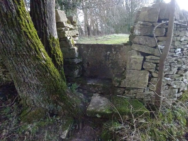
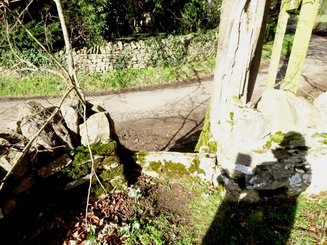
The woodland is open to the public and offers a tranquil and picturesque setting for outdoor activities such as walking, birdwatching, and nature photography. Several well-marked trails guide visitors through the wood, allowing them to explore its diverse ecosystem and discover its hidden treasures.

Round Wood is home to a range of wildlife species, including deer, foxes, badgers, and numerous bird species. The woodland's varied vegetation supports a host of plants, including bluebells, primroses, and wild garlic, which create a vibrant display during the spring months.

The management of Round Wood is primarily focused on preserving its natural beauty and protecting its biodiversity. Conservation efforts include selective tree felling to maintain a healthy forest structure, as well as the creation of deadwood habitats to enhance biodiversity. The woodland is also a designated Site of Special Scientific Interest (SSSI), recognizing its ecological importance.

In addition to its natural features, Round Wood offers basic amenities to visitors, such as parking facilities and picnic areas. The wood is easily accessible by road and is a popular destination for both locals and tourists seeking a peaceful retreat in the heart of Gloucestershire's countryside.

If you have any feedback on the listing, please let us know in the comments section below.
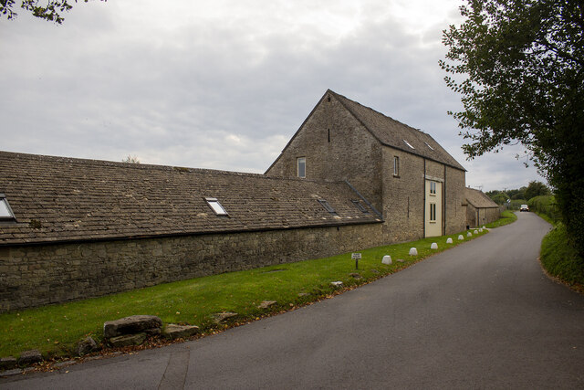
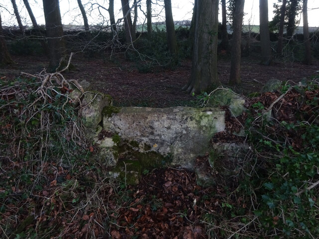
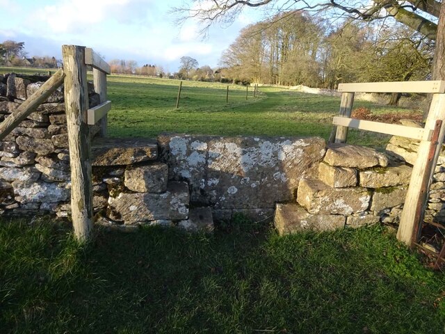
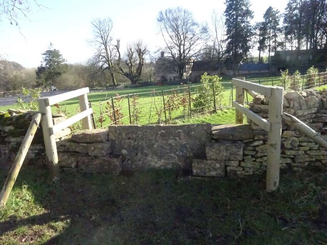
Round Wood Images

Images are sourced within 2km of 51.803558/-2.0738442 or Grid Reference SO9511. Thanks to Geograph Open Source API. All images are credited.

Converted vernacular farm buildings
Brimsfield Park Farm
Watercombe Farm
Watercombe Farm
Stone Stile, Caudle Green Looking SW towards the village.
Stone Stile, Caudle Green
Looking SW towards the village.
Stone Stile, Caudle Green A step stile on the Northern side of the road approaching the village. On Gloucestershire footpath BBR28. The view from the road side is <a href="https://www.geograph.org.uk/photo/7061298">SO9410 : Stone Stile, Caudle Green</a>.
Stone Stile, Caudle Green
A step stile on the Northern side of the road approaching the village. On Gloucestershire footpath BBR28. The view from the road side is SO9410 : Stone Stile, Caudle Green.
Stone Stile, Caudle Green A step stile on the Northern side of the road approaching the village. On Gloucestershire footpath BBR28. The view from the appreciable drop on the other side is <a href="https://www.geograph.org.uk/photo/7061296">SO9410 : Stone Stile, Caudle Green</a>.
Stone Stile, Caudle Green
A step stile on the Northern side of the road approaching the village. On Gloucestershire footpath BBR28. The view from the appreciable drop on the other side is SO9410 : Stone Stile, Caudle Green.
Stone Stile, Elkstone Not on a registered footpath, this affords access to the woodland and the well trodden path leads to the private house "Highgate". This is the view from the woodland, the alternative view from the road is <a href="https://www.geograph.org.uk/photo/7104422">SO9512 : Stone Stile, Elkstone</a>.
Stone Stile, Elkstone
Not on a registered footpath, this affords access to the woodland and the well trodden path leads to the private house "Highgate". This is the view from the woodland, the alternative view from the road is SO9512 : Stone Stile, Elkstone.
Stone Stile, Elkstone Not on a registered footpath, this affords access to the woodland and the well trodden path leads to the private house "Highgate" to the West. This is the view from the road, the alternative view from the woodland is <a href="https://www.geograph.org.uk/photo/7104421">SO9512 : Stone Stile, Elkstone</a>.
Stone Stile, Elkstone
Not on a registered footpath, this affords access to the woodland and the well trodden path leads to the private house "Highgate" to the West. This is the view from the road, the alternative view from the woodland is SO9512 : Stone Stile, Elkstone.
Stone Stile, Elkstone On Gloucestershire footpath BEL11 going North from St John's Church. The view looking South is <a href="https://www.geograph.org.uk/photo/7104837">SO9612 : Stone Stile, Elkstone</a>.
Stone Stile, Elkstone
On Gloucestershire footpath BEL11 going North from St John's Church. The view looking South is SO9612 : Stone Stile, Elkstone.
Stone Stile, Elkstone On Gloucestershire footpath BEL11 going South towards St John's Church. The view looking North is <a href="https://www.geograph.org.uk/photo/7104836">SO9612 : Stone Stile, Elkstone</a>.
Stone Stile, Elkstone
On Gloucestershire footpath BEL11 going South towards St John's Church. The view looking North is SO9612 : Stone Stile, Elkstone.
Stone Stile, Syde On Gloucestershire footpath BSY8 just South of the Manor House in Syde. This view is looking from the road, the view looking North is <a href="https://www.geograph.org.uk/photo/7104847">SO9410 : Stone Stile, Syde</a>.
Stone Stile, Syde
On Gloucestershire footpath BSY8 just South of the Manor House in Syde. This view is looking from the road, the view looking North is SO9410 : Stone Stile, Syde.
Stone Stile, Syde On Gloucestershire footpath BSY8 just South of the Manor House in Syde. This view is looking to the road, the view looking South is <a href="https://www.geograph.org.uk/photo/7104846">SO9410 : Stone Stile, Syde</a>.
Stone Stile, Syde
On Gloucestershire footpath BSY8 just South of the Manor House in Syde. This view is looking to the road, the view looking South is SO9410 : Stone Stile, Syde.
Stone Stile, Caudle Green Looking into a field at the junction of Gloucestershire footpaths MMN23 & BBR38 where the paths transition from woodland to a field sparsely populated with "meadow flowers". The soil in the field is heavily laden with stones. The view towards the woodland is <a href="https://www.geograph.org.uk/photo/7104960">SO9310 : Stone Stile, Caudle Green</a>.
Stone Stile, Caudle Green
Looking into a field at the junction of Gloucestershire footpaths MMN23 & BBR38 where the paths transition from woodland to a field sparsely populated with "meadow flowers". The soil in the field is heavily laden with stones. The view towards the woodland is SO9310 : Stone Stile, Caudle Green.
Stone Stile, Caudle Green Looking from a field at the junction of Gloucestershire footpaths MMN23 & BBR38 where the paths transition from woodland to a field sparsely populated with "meadow flowers". The soil in the field is heavily laden with stones. The view from the woodland is <a href="https://www.geograph.org.uk/photo/7104958">SO9310 : Stone Stile, Caudle Green</a>.
Stone Stile, Caudle Green
Looking from a field at the junction of Gloucestershire footpaths MMN23 & BBR38 where the paths transition from woodland to a field sparsely populated with "meadow flowers". The soil in the field is heavily laden with stones. The view from the woodland is SO9310 : Stone Stile, Caudle Green.
Stone Stile, Caudle Green Due South of the village green at the junction of Gloucestershire footpaths MMN23 & BBR25 in woodland. This point is also on the boundaries of: county constituency, civil parishes of Miserden and Brimsfield, and the county district. This is the view looking NE, the view SW is <a href="https://www.geograph.org.uk/photo/7104970">SO9410 : Stone Stile, Caudle Green</a>.
Stone Stile, Caudle Green
Due South of the village green at the junction of Gloucestershire footpaths MMN23 & BBR25 in woodland. This point is also on the boundaries of: county constituency, civil parishes of Miserden and Brimsfield, and the county district. This is the view looking NE, the view SW is SO9410 : Stone Stile, Caudle Green.
Stone Stile, Caudle Green Due South of the village green at the junction of Gloucestershire footpaths MMN23 & BBR25 in woodland. This point is also on the boundaries of: county constituency, civil parishes of Miserden and Brimsfield, and the county district. This is the view looking SW, the view NE is <a href="https://www.geograph.org.uk/photo/7104969">SO9410 : Stone Stile, Caudle Green</a>.
Stone Stile, Caudle Green
Due South of the village green at the junction of Gloucestershire footpaths MMN23 & BBR25 in woodland. This point is also on the boundaries of: county constituency, civil parishes of Miserden and Brimsfield, and the county district. This is the view looking SW, the view NE is SO9410 : Stone Stile, Caudle Green.
Stone Stile, Caudle Green From a small field into a grazing field at the SE corner of the garden walls of 'Calley House'. This is looking SW away from the village, the view towards the village is <a href="https://www.geograph.org.uk/photo/7104983">SO9410 : Stone Stile, Caudle Green</a>.
Stone Stile, Caudle Green
From a small field into a grazing field at the SE corner of the garden walls of 'Calley House'. This is looking SW away from the village, the view towards the village is SO9410 : Stone Stile, Caudle Green.
Stone Stile, Caudle Green From a small field in to a grazing field at the SE corner of the garden wals of 'Calley House'. This is looking NE towards the village, the view towards the larger field is <a href="https://www.geograph.org.uk/photo/7104981">SO9410 : Stone Stile, Caudle Green</a>.
Stone Stile, Caudle Green
From a small field in to a grazing field at the SE corner of the garden wals of 'Calley House'. This is looking NE towards the village, the view towards the larger field is SO9410 : Stone Stile, Caudle Green.
Show me another place!

Round Wood is located at Grid Ref: SO9511 (Lat: 51.803558, Lng: -2.0738442)

Administrative County: Gloucestershire

District: Cotswold

Police Authority: Gloucestershire

What 3 Words

///weeps.light.hippy. Near Shurdington, Gloucestershire

Related Wikis

Church of St Mary the Virgin, Syde

The Anglican Church of St Mary the Virgin at Syde in the Cotswold District of Gloucestershire, England was built in the early 12th century. It is a grade...

Syde

Syde, often in the past spelt Side, is a small village and civil parish in Gloucestershire, England. It lies in the Cotswolds, near the source of the River...

Church of St Michael, Brimpsfield

The Anglican Church of St Michael at Brimpsfield in the Cotswold District of Gloucestershire, England was built in 12th century. It is a grade I listed...

Brimpsfield Priory

Brimpsfield Priory was a Benedictine monastic foundation in Brimpsfield, Gloucestershire, England, a cell or grange of the Abbey of Saint-Wandrille in...

Elkstone

Elkstone is a village and civil parish in the English county of Gloucestershire. In the 2001 United Kingdom census, the parish had a population of 203...

Bushley Muzzard, Brimpsfield

Bushley Muzzard, Brimpsfield (grid reference SO944133) is a 1.13-hectare (2.8-acre) biological Site of Special Scientific Interest in Gloucestershire,...

Church of St John the Evangelist, Elkstone

The Anglican Church of St John the Evangelist at Elkstone in the Cotswold District of Gloucestershire, England was built in the 12th century. It is a grade...

Brimpsfield

Brimpsfield is a village in Gloucestershire, England. The village is recorded in Domesday Book as Brimesfelde. Brimpsfield Castle was built in the village...

Nearby Amenities

Located within 500m of 51.803558,-2.0738442
Fixme: incomplete
Lat/Long: 51.8042136/-2.0771877
Fixme: incomplete
Lat/Long: 51.8020384/-2.0801674
The data included in this document is from www.openstreetmap.org. The data is made available under ODbL.

Have you been to Round Wood?

Leave your review of Round Wood below (or comments, questions and feedback).