The Clump

Wood, Forest in Gloucestershire Cotswold

England

The Clump

Brimsfield Park Farm
Brimsfield Park Farm Credit: P Gaskell

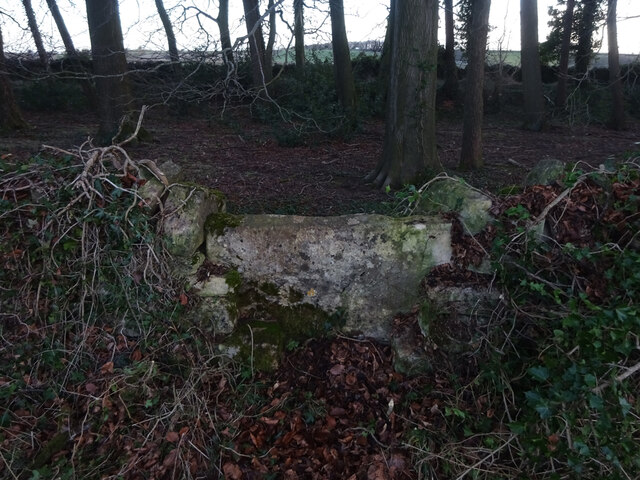
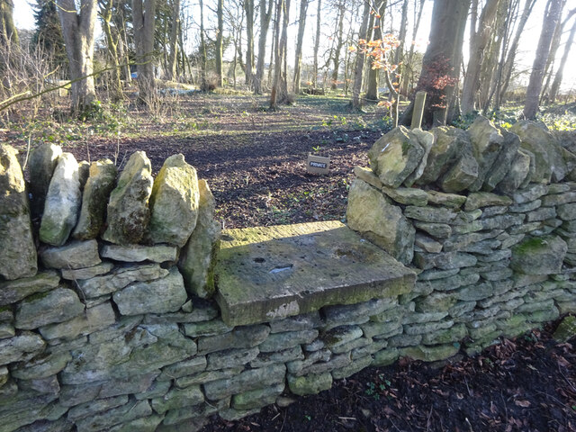
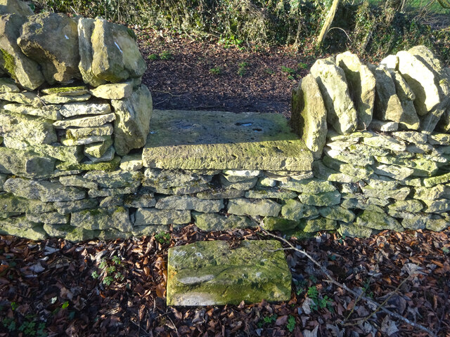
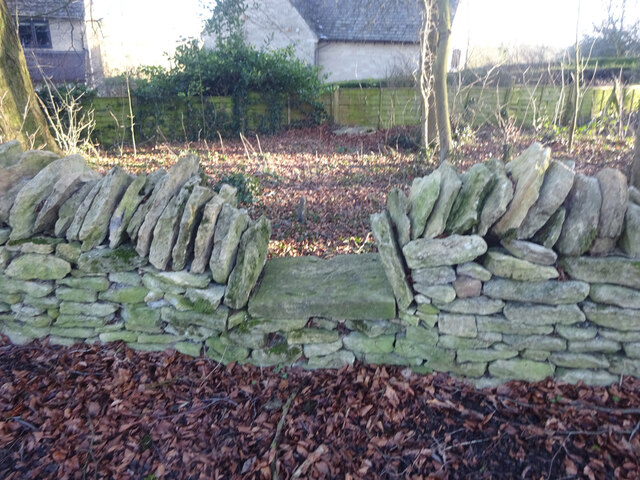
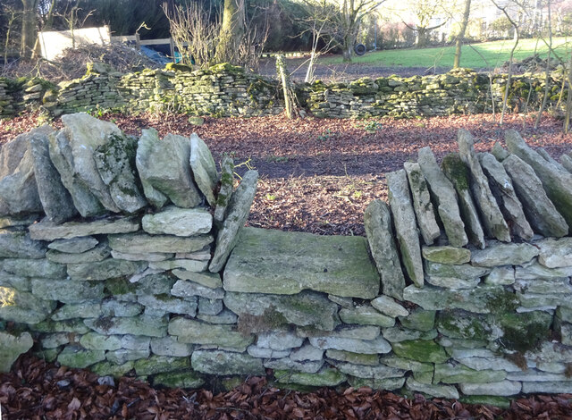
The Clump is a picturesque woodland located in Gloucestershire, England. Situated in the heart of the Forest of Dean, this ancient woodland offers visitors a tranquil escape from the hustle and bustle of everyday life. Covering an area of approximately 50 acres, The Clump is a stunning example of a mixed woodland, boasting a variety of tree species including oak, beech, ash, and birch.

The woodland is known for its dense canopy, which provides a natural shelter for an array of wildlife. The Clump is home to a diverse range of flora and fauna, and visitors can expect to encounter various bird species, such as woodpeckers and owls, as well as small mammals like foxes and badgers. The forest floor is adorned with an assortment of wildflowers, adding a splash of color to the surroundings.

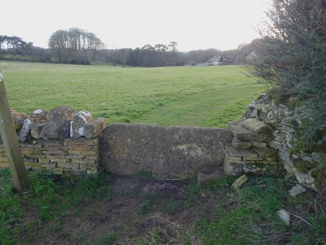
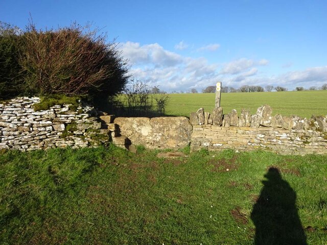
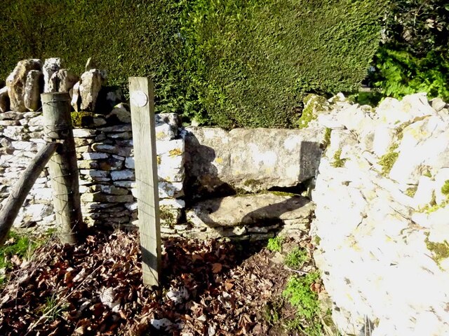
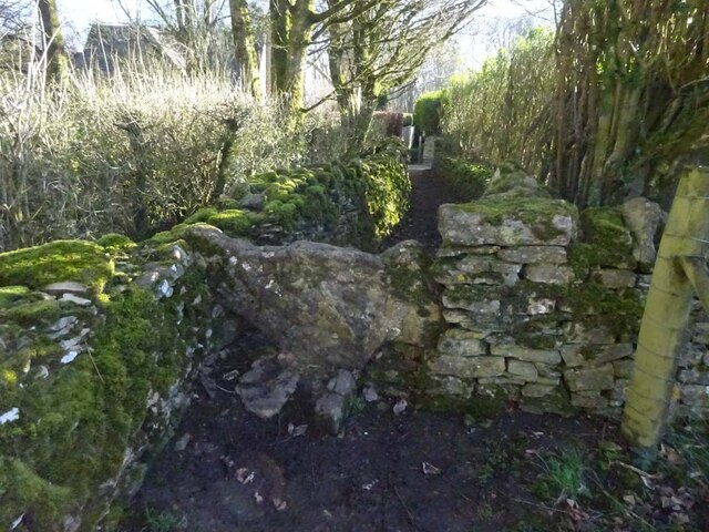
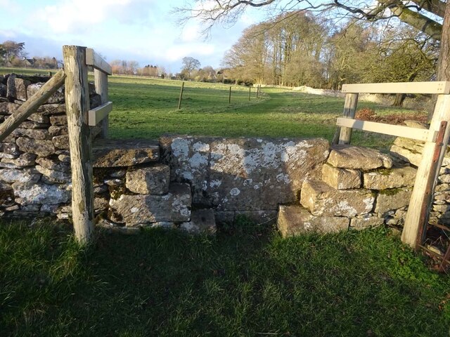
Nature enthusiasts and hikers will find ample opportunities to explore the woodland, with a network of well-marked trails and footpaths winding through The Clump. The paths offer varying levels of difficulty, catering to both casual strollers and experienced hikers. Along the way, visitors can admire the ancient trees, moss-covered rocks, and babbling brooks that add to the enchanting atmosphere of the forest.

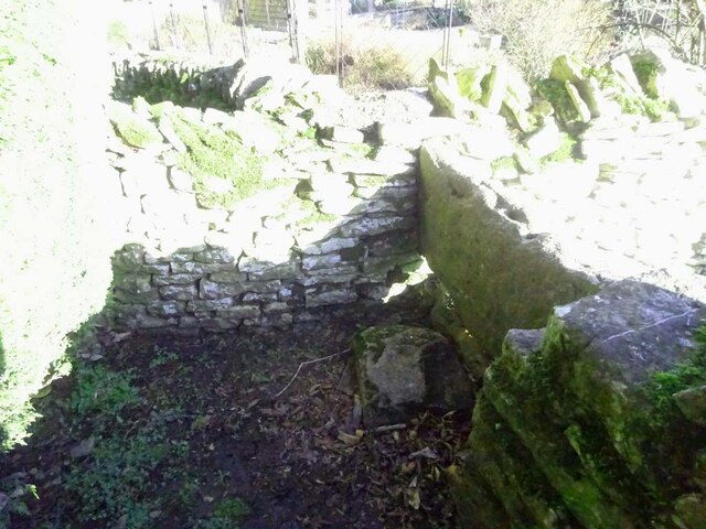
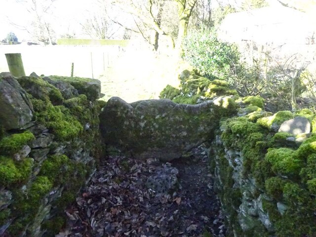
The Clump also holds historical significance, with evidence of human activity dating back centuries. Remnants of Iron Age forts can be found within the woodland, providing a glimpse into the area's rich past.

Overall, The Clump is a captivating woodland that showcases the natural beauty and biodiversity of Gloucestershire's Forest of Dean. Whether it's for a leisurely stroll, birdwatching, or discovering the region's history, this woodland offers a truly immersive experience in nature.

If you have any feedback on the listing, please let us know in the comments section below.

The Clump Images

Images are sourced within 2km of 51.804246/-2.0659702 or Grid Reference SO9511. Thanks to Geograph Open Source API. All images are credited.

Brimsfield Park Farm
Watercombe Farm
Watercombe Farm
Stone Stile, Caudle Green Looking SW towards the village.
Stone Stile, Caudle Green
Looking SW towards the village.
Stone Stile, Caudle Green A step stile on the Northern side of the road approaching the village. On Gloucestershire footpath BBR28. The view from the road side is <a href="https://www.geograph.org.uk/photo/7061298">SO9410 : Stone Stile, Caudle Green</a>.
Stone Stile, Caudle Green
A step stile on the Northern side of the road approaching the village. On Gloucestershire footpath BBR28. The view from the road side is SO9410 : Stone Stile, Caudle Green.
Stone Stile, Caudle Green A step stile on the Northern side of the road approaching the village. On Gloucestershire footpath BBR28. The view from the appreciable drop on the other side is <a href="https://www.geograph.org.uk/photo/7061296">SO9410 : Stone Stile, Caudle Green</a>.
Stone Stile, Caudle Green
A step stile on the Northern side of the road approaching the village. On Gloucestershire footpath BBR28. The view from the appreciable drop on the other side is SO9410 : Stone Stile, Caudle Green.
Stone Stile, Elkstone Not on a registered footpath, this affords access to the woodland and the well trodden path leads to the private house "Highgate". This is the view from the woodland, the alternative view from the road is <a href="https://www.geograph.org.uk/photo/7104422">SO9512 : Stone Stile, Elkstone</a>.
Stone Stile, Elkstone
Not on a registered footpath, this affords access to the woodland and the well trodden path leads to the private house "Highgate". This is the view from the woodland, the alternative view from the road is SO9512 : Stone Stile, Elkstone.
Stone Stile, Elkstone Not on a registered footpath, this affords access to the woodland and the well trodden path leads to the private house "Highgate" to the West. This is the view from the road, the alternative view from the woodland is <a href="https://www.geograph.org.uk/photo/7104421">SO9512 : Stone Stile, Elkstone</a>.
Stone Stile, Elkstone
Not on a registered footpath, this affords access to the woodland and the well trodden path leads to the private house "Highgate" to the West. This is the view from the road, the alternative view from the woodland is SO9512 : Stone Stile, Elkstone.
Stone Stile, Elkstone Looking South into a private wood off the restricted byway BEL12. The view looking back is <a href="https://www.geograph.org.uk/photo/7104604">SO9612 : Stone Stile, Elkstone</a>.
Stone Stile, Elkstone
Looking South into a private wood off the restricted byway BEL12. The view looking back is SO9612 : Stone Stile, Elkstone.
Stone Stile, Elkstone Looking North from a private wood to the restricted byway BEL12. The view looking in is <a href="https://www.geograph.org.uk/photo/7104602">SO9612 : Stone Stile, Elkstone</a>.
Stone Stile, Elkstone
Looking North from a private wood to the restricted byway BEL12. The view looking in is SO9612 : Stone Stile, Elkstone.
Stone Stile, Elkstone Looking South into a private wood off the restricted byway BEL12. The view looking back is <a href="https://www.geograph.org.uk/photo/7104622">SO9612 : Stone Stile, Elkstone</a>.
Stone Stile, Elkstone
Looking South into a private wood off the restricted byway BEL12. The view looking back is SO9612 : Stone Stile, Elkstone.
Stone Stile, Elkstone Looking North from a private wood to the restricted byway BEL12. The view looking in is <a href="https://www.geograph.org.uk/photo/7104620">SO9612 : Stone Stile, Elkstone</a>.
Stone Stile, Elkstone
Looking North from a private wood to the restricted byway BEL12. The view looking in is SO9612 : Stone Stile, Elkstone.
Stone Stile, Elkstone On Gloucestershire footpaths BEL16 & BEL18 immediately East of a cottage called Ward Hay. This is the view looking South, the view North is <a href="https://www.geograph.org.uk/photo/7104821">SO9712 : Stone Stile, Elkstone</a>.
Stone Stile, Elkstone
On Gloucestershire footpaths BEL16 & BEL18 immediately East of a cottage called Ward Hay. This is the view looking South, the view North is SO9712 : Stone Stile, Elkstone.
Stone Stile, Elkstone On Gloucestershire footpaths BEL16 & BEL18 immediately East of a cottage called Ward Hay. This is the view looking North, the view South is <a href="https://www.geograph.org.uk/photo/7104819">SO9712 : Stone Stile, Elkstone</a>.
Stone Stile, Elkstone
On Gloucestershire footpaths BEL16 & BEL18 immediately East of a cottage called Ward Hay. This is the view looking North, the view South is SO9712 : Stone Stile, Elkstone.
Stone Stile, Elkstone On Gloucestershire footpath BEL11 that skirts around the modern grounds of Elkstone Court. This view looks North, the view SE is <a href="https://www.geograph.org.uk/photo/7104825">SO9612 : Stone Stile, Elkstone</a>.
Stone Stile, Elkstone
On Gloucestershire footpath BEL11 that skirts around the modern grounds of Elkstone Court. This view looks North, the view SE is SO9612 : Stone Stile, Elkstone.
Stone Stile, Elkstone On Gloucestershire footpath BEL11 that skirts around the modern grounds of Elkstone Court. This view looks SE, the view North is <a href="https://www.geograph.org.uk/photo/7104824">SO9612 : Stone Stile, Elkstone</a>.
Stone Stile, Elkstone
On Gloucestershire footpath BEL11 that skirts around the modern grounds of Elkstone Court. This view looks SE, the view North is SO9612 : Stone Stile, Elkstone.
Stone Stile, Elkstone On Gloucestershire footpath BEL11 adjacent to "Eleysian House" looking North to a field, the view from the field is <a href="https://www.geograph.org.uk/photo/7104833">SO9612 : Stone Stile, Elkstone</a>.
Stone Stile, Elkstone
On Gloucestershire footpath BEL11 adjacent to "Eleysian House" looking North to a field, the view from the field is SO9612 : Stone Stile, Elkstone.
Stone Stile, Elkstone On Gloucestershire footpath BEL11 adjacent to "Eleysian House" looking from the field, the view looking North is <a href="https://www.geograph.org.uk/photo/7104832">SO9612 : Stone Stile, Elkstone</a>.
Stone Stile, Elkstone
On Gloucestershire footpath BEL11 adjacent to "Eleysian House" looking from the field, the view looking North is SO9612 : Stone Stile, Elkstone.
Stone Stile, Elkstone On Gloucestershire footpath BEL11 going North from St John's Church. The view looking South is <a href="https://www.geograph.org.uk/photo/7104837">SO9612 : Stone Stile, Elkstone</a>.
Stone Stile, Elkstone
On Gloucestershire footpath BEL11 going North from St John's Church. The view looking South is SO9612 : Stone Stile, Elkstone.
Show me another place!

The Clump is located at Grid Ref: SO9511 (Lat: 51.804246, Lng: -2.0659702)

Administrative County: Gloucestershire

District: Cotswold

Police Authority: Gloucestershire

What 3 Words

///mandates.kipper.argue. Near Shurdington, Gloucestershire

Related Wikis

Church of St Mary the Virgin, Syde

The Anglican Church of St Mary the Virgin at Syde in the Cotswold District of Gloucestershire, England was built in the early 12th century. It is a grade...

Syde

Syde, often in the past spelt Side, is a small village and civil parish in Gloucestershire, England. It lies in the Cotswolds, near the source of the River...

Elkstone

Elkstone is a village and civil parish in the English county of Gloucestershire. In the 2001 United Kingdom census, the parish had a population of 203...

Church of St John the Evangelist, Elkstone

The Anglican Church of St John the Evangelist at Elkstone in the Cotswold District of Gloucestershire, England was built in the 12th century. It is a grade...

Church of St Michael, Brimpsfield

The Anglican Church of St Michael at Brimpsfield in the Cotswold District of Gloucestershire, England was built in 12th century. It is a grade I listed...

Brimpsfield Priory

Brimpsfield Priory was a Benedictine monastic foundation in Brimpsfield, Gloucestershire, England, a cell or grange of the Abbey of Saint-Wandrille in...

Bushley Muzzard, Brimpsfield

Bushley Muzzard, Brimpsfield (grid reference SO944133) is a 1.13-hectare (2.8-acre) biological Site of Special Scientific Interest in Gloucestershire,...

Winstone

Winstone is a village and civil parish in the English county of Gloucestershire. The population taken at the 2011 census was 270.Winstone forms part of...

Nearby Amenities

Located within 500m of 51.804246,-2.0659702
Phone
Emergency: phone
Lat/Long: 51.804671/-2.0597892
Crossing
Lat/Long: 51.8049544/-2.0593364
Crossing
Lat/Long: 51.8050069/-2.0596734
The data included in this document is from www.openstreetmap.org. The data is made available under ODbL.

Have you been to The Clump?

Leave your review of The Clump below (or comments, questions and feedback).