Gattrell's Copse
Wood, Forest in Wiltshire
England
Gattrell's Copse
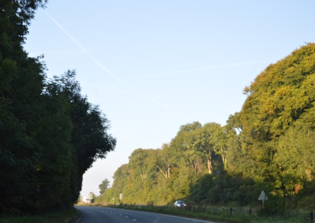
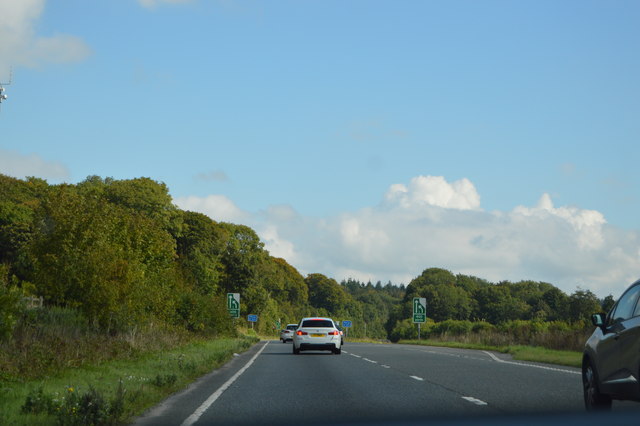
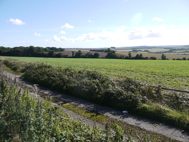
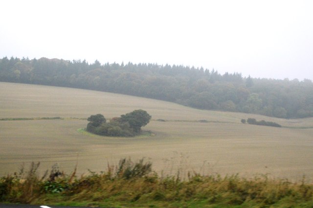
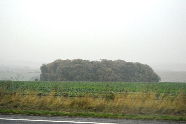
Gattrell's Copse is a picturesque woodland located in the county of Wiltshire, England. With an area spanning approximately 10 acres, it is a cherished natural gem in the region. The copse is situated near the village of Gattrell, which it takes its name from, and is surrounded by rolling hills and meadows, adding to its idyllic charm.
The woodland is primarily composed of native broadleaf trees, including oak, beech, and ash, which form a dense canopy that provides shade and shelter to various flora and fauna. The forest floor is carpeted with a rich undergrowth of ferns, bluebells, and wild garlic, creating a vibrant and diverse ecosystem.
Gattrell's Copse offers a tranquil escape for nature enthusiasts and avid walkers alike. It boasts a network of well-maintained footpaths that wind through the woodland, allowing visitors to explore its beauty at their leisure. These paths showcase the copse's enchanting features, such as babbling brooks, moss-covered rocks, and fallen logs that provide habitats for small creatures.
The copse is also a haven for birdwatchers, attracting a wide variety of avian species throughout the year. Visitors may be fortunate enough to spot woodpeckers, owls, and even the occasional red kite soaring above the treetops.
As a protected area, Gattrell's Copse is managed by local conservation authorities, ensuring its preservation for future generations. It serves as a valuable educational resource, hosting guided nature walks and workshops for schools and community groups, fostering a deeper appreciation and understanding of the natural world.
Overall, Gattrell's Copse is a cherished woodland retreat, offering a serene and captivating experience for all who venture into its enchanting depths.
If you have any feedback on the listing, please let us know in the comments section below.
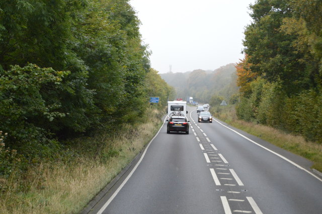
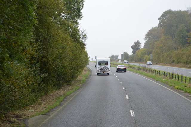
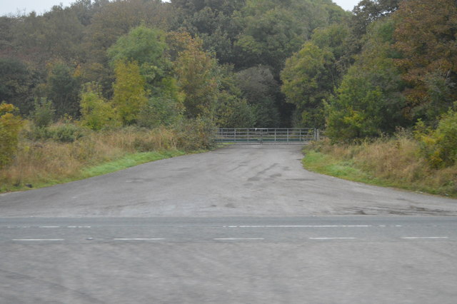
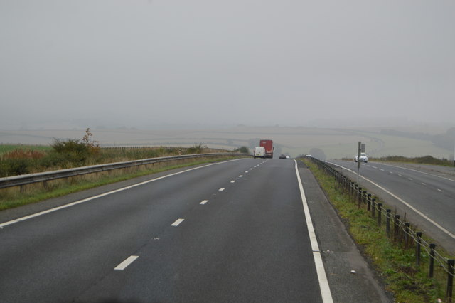
Gattrell's Copse Images
Images are sourced within 2km of 51.118805/-2.0649711 or Grid Reference ST9535. Thanks to Geograph Open Source API. All images are credited.
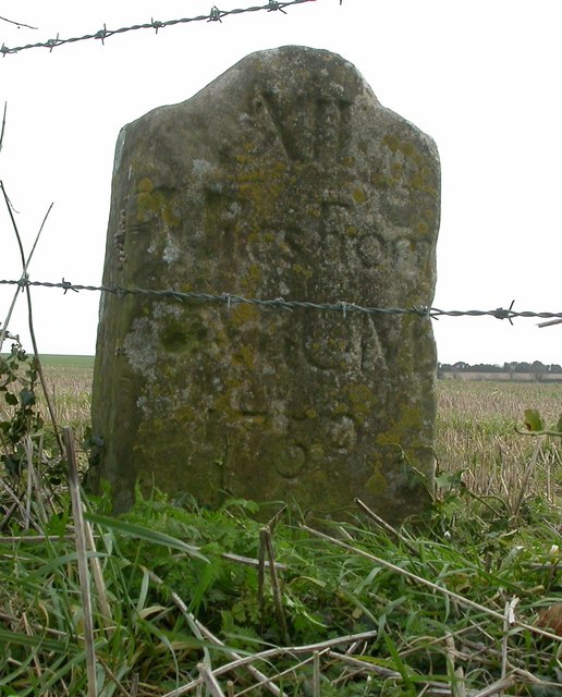
Gattrell's Copse is located at Grid Ref: ST9535 (Lat: 51.118805, Lng: -2.0649711)
Unitary Authority: Wiltshire
Police Authority: Wiltshire
What 3 Words
///merely.rainwater.fallback. Near Codford, Wiltshire
Nearby Locations
Related Wikis

Stockton Wood and Down
Stockton Wood and Down (grid reference ST958366) is a 61.5 hectare biological Site of Special Scientific Interest in the southwest of Stockton parish in...

West Wiltshire Downs
The West Wiltshire Downs is an area of downland in the west of the county of Wiltshire, England. The West Wiltshire Downs are geologically the same unit...

Great Ridge Wood
Great Ridge Wood, formerly also known as Chicklade Wood, is one of the largest woodlands in southern Wiltshire, England. Mostly within the parishes of...

Chilmark, Wiltshire
Chilmark is a Wiltshire village and civil parish of some 150 houses straddling the B3089 road, 11 miles (18 km) west of Salisbury, England. The parish...

Fonthill Bishop
Fonthill Bishop is a small village and civil parish in Wiltshire, England, to the north of the Nadder valley and 9 miles (14 km) south of Warminster. The...

Sherrington
Sherrington is a small village and civil parish on the River Wylye in Wiltshire, England. The part of the Great Ridge Wood known as Snailcreep Hanging...
Stockton, Wiltshire
Stockton is a small village and civil parish in the Wylye Valley in Wiltshire, England, about 8 miles (13 km) southeast of Warminster. The parish includes...

Berwick St Leonard
Berwick St Leonard is a small village and civil parish in Wiltshire, England, about 8 miles (13 km) southeast of Warminster and 14 miles (23 km) west of...
Have you been to Gattrell's Copse?
Leave your review of Gattrell's Copse below (or comments, questions and feedback).