Batten's Wood

Wood, Forest in Worcestershire Wychavon

England

Batten's Wood

Track on Bredon Hill Track and permissive path near Lalu Farm on Bredon Hill.
Track on Bredon Hill Credit: Philip Halling

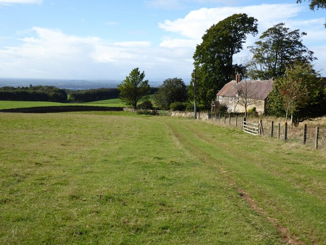
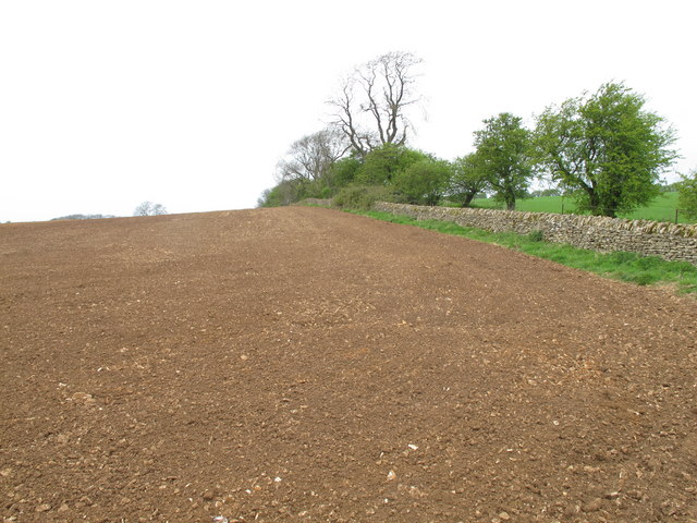
Batten's Wood is a picturesque forest located in the county of Worcestershire, England. Spanning over several acres, this woodland area is a haven for nature enthusiasts and outdoor lovers alike. The forest is nestled within the peaceful countryside, providing a tranquil escape from the hustle and bustle of city life.

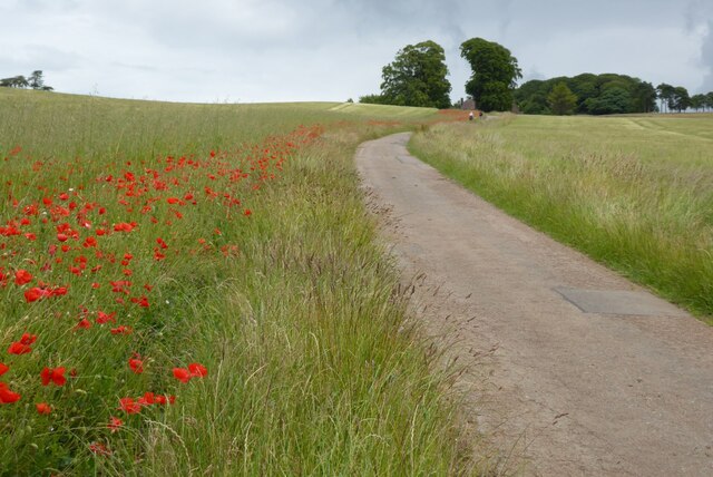
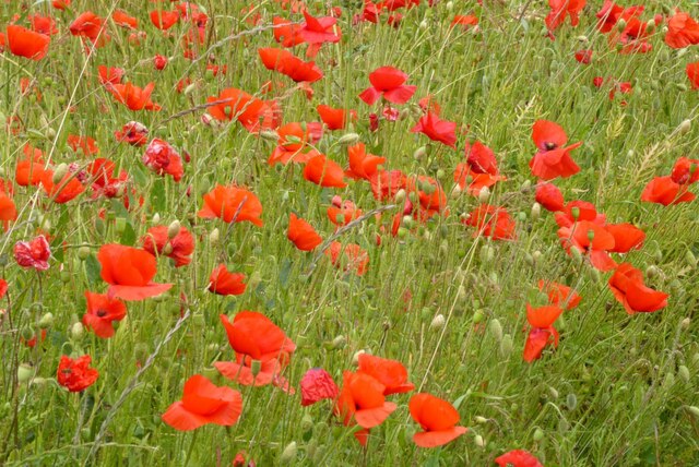
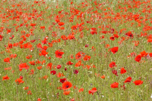
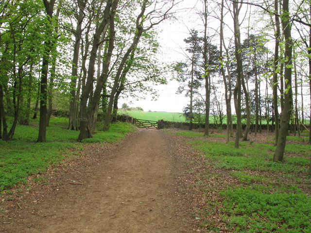
The wood is characterized by its diverse range of tree species, including oak, beech, and birch. These majestic trees create a dense canopy, offering shade during the hot summer months. The forest floor is carpeted with a variety of wildflowers and ferns, adding to the natural beauty of the area.

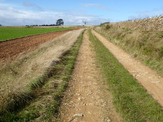
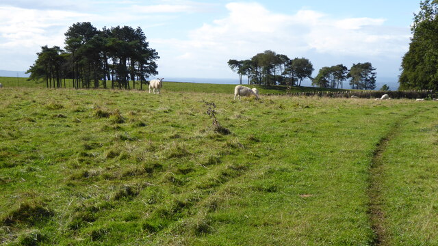
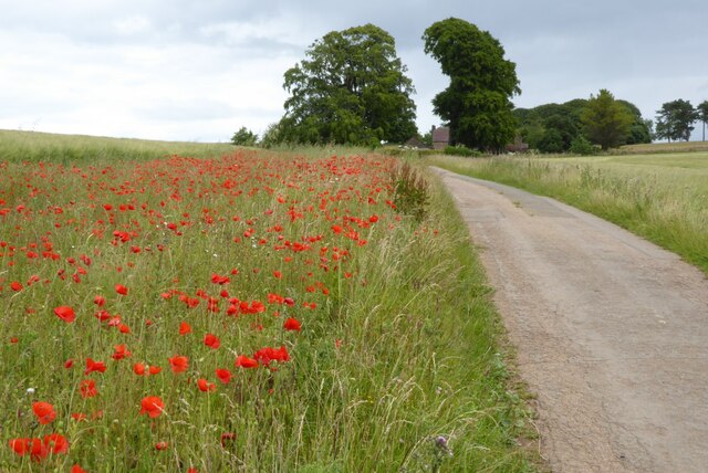
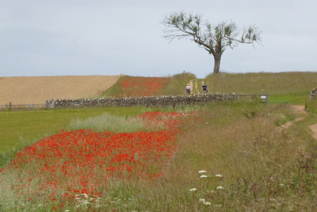
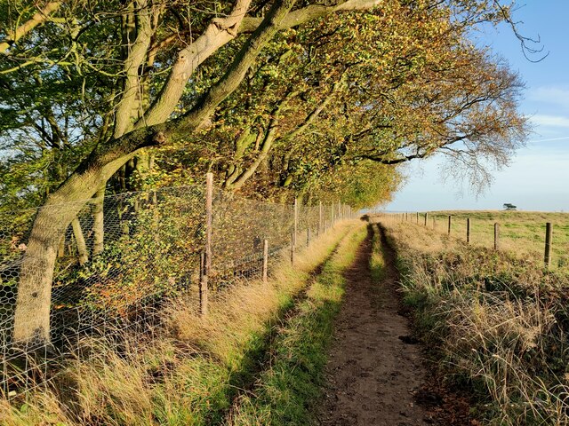
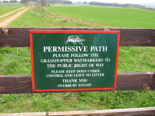
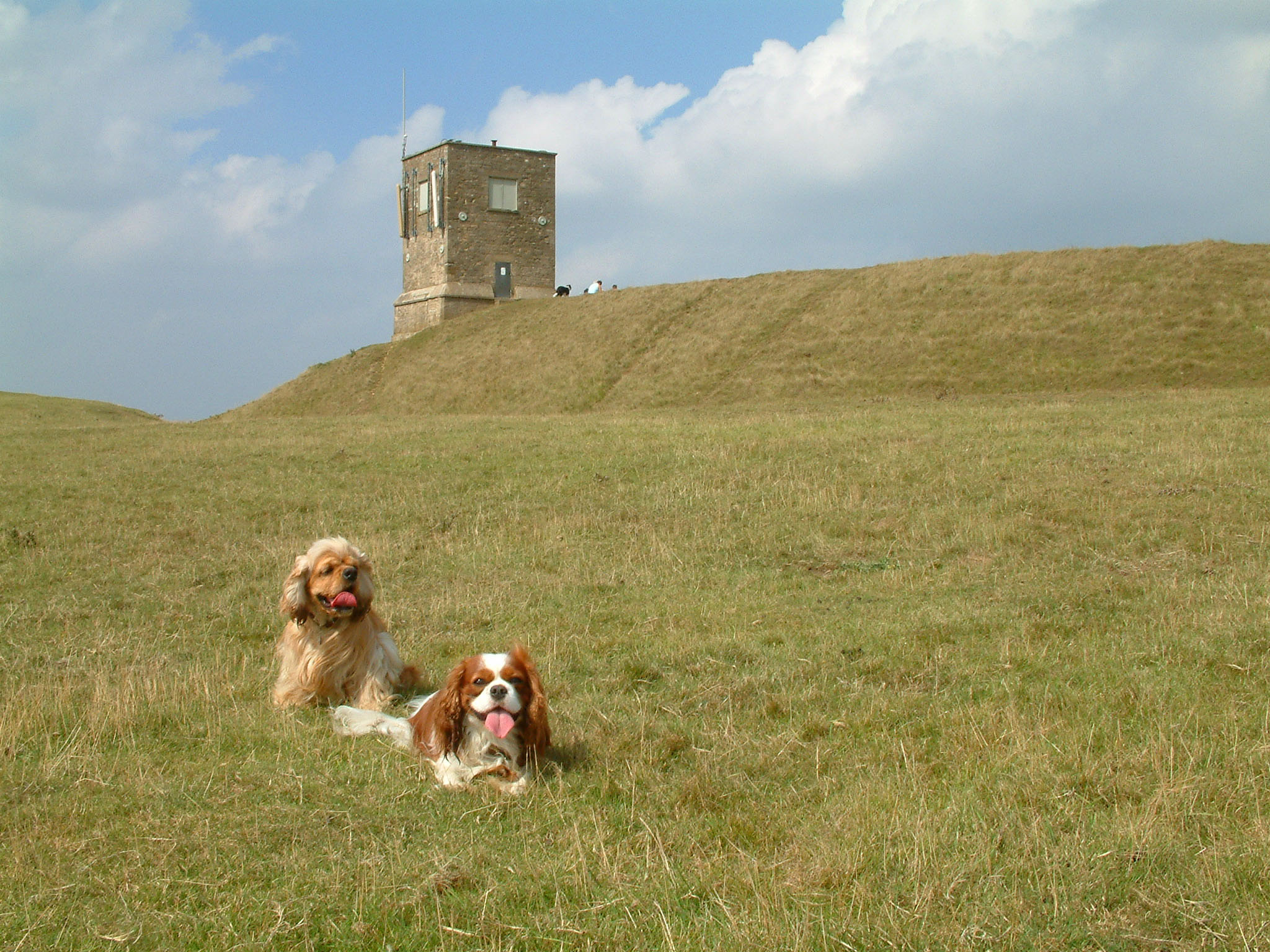
Batten's Wood is a popular destination for hikers and walkers, with several well-maintained trails winding through the forest. These paths provide an opportunity to explore the wood's various features, such as babbling brooks, small ponds, and hidden clearings. Additionally, the wood is home to an abundance of wildlife, including deer, squirrels, and a wide array of bird species. Birdwatchers can often spot woodpeckers, owls, and even the occasional rare species.

For those seeking a peaceful escape, Batten's Wood offers several designated picnic areas where visitors can relax and enjoy the serenity of the surroundings. The forest is also a great location for nature photography, with its stunning landscapes and ample opportunities to capture wildlife in its natural habitat.

Overall, Batten's Wood is a cherished natural gem in Worcestershire, providing a sanctuary for both flora and fauna. Its tranquil ambiance and breathtaking scenery make it a must-visit destination for anyone looking to immerse themselves in the beauty of the English countryside.

If you have any feedback on the listing, please let us know in the comments section below.

Batten's Wood Images

Images are sourced within 2km of 52.066274/-2.0662988 or Grid Reference SO9540. Thanks to Geograph Open Source API. All images are credited.

Track on Bredon Hill Track and permissive path near Lalu Farm on Bredon Hill.
Track on Bredon Hill
Track and permissive path near Lalu Farm on Bredon Hill.
Sheep and trees on Bredon Hill The trees in the background are in clump giving the impression it has been planted as an estate parkland.
Sheep and trees on Bredon Hill
The trees in the background are in clump giving the impression it has been planted as an estate parkland.
Bridleway passing Lalu Farm Bridleway passing Lalu Farm on Bredon Hill with Gloucestershire and the Severn vale in the distance.
Bridleway passing Lalu Farm
Bridleway passing Lalu Farm on Bredon Hill with Gloucestershire and the Severn vale in the distance.
Drive to Lalu Farm Poppies beside the drive on Bredon Hill leading to Lalu Farm.
Drive to Lalu Farm
Poppies beside the drive on Bredon Hill leading to Lalu Farm.
Poppies on Bredon Hill Poppies on Bredon Hill near Lalu Farm.
Poppies on Bredon Hill
Poppies on Bredon Hill near Lalu Farm.
Drive to Lalu Farm Poppies in the field headland beside the drive to Lalu Farm on Bredon Hill.
Drive to Lalu Farm
Poppies in the field headland beside the drive to Lalu Farm on Bredon Hill.
Poppies on Bredon Hill Poppies on Bredon Hill near Lalu Farm.
Poppies on Bredon Hill
Poppies on Bredon Hill near Lalu Farm.
Walkers on Bredon Hill Poppies in a field headland beside a track on Bredon Hill.  Walkers on the track are heading for Parsons Folly and summit of Bredon Hill.
Walkers on Bredon Hill
Poppies in a field headland beside a track on Bredon Hill. Walkers on the track are heading for Parsons Folly and summit of Bredon Hill.
Telecommunications mast on Bredon Hill Bredon Hill, 299 m (981 ft), is in South Worcestershire, it is geologically part of the Cotswolds but stands isolated in the Vale of Evesham.
There is a small stone tower on the summit called Parsons Folly, along with the remains of an Iron Age hill fort known as Kemerton Camp, abandoned in the 1st century AD.
Telecommunications mast on Bredon Hill
Bredon Hill, 299 m (981 ft), is in South Worcestershire, it is geologically part of the Cotswolds but stands isolated in the Vale of Evesham. There is a small stone tower on the summit called Parsons Folly, along with the remains of an Iron Age hill fort known as Kemerton Camp, abandoned in the 1st century AD.
Wychavon Way at Long Plantation on Bredon Hill The Wychavon Way begins in the Worcestershire town of Droitwich Spa and ends in the Cotswold village of Broadway. The trail is about 40 miles (64 km) in length and was created in 1977 to celebrate the Queen's Silver Jubilee.
Wychavon Way at Long Plantation on Bredon Hill
The Wychavon Way begins in the Worcestershire town of Droitwich Spa and ends in the Cotswold village of Broadway. The trail is about 40 miles (64 km) in length and was created in 1977 to celebrate the Queen's Silver Jubilee.
Frost on a tree trunk Frost on a tree trunk in a wood pile beside a bridleway on Bredon Hill.
Frost on a tree trunk
Frost on a tree trunk in a wood pile beside a bridleway on Bredon Hill.
Barn at Sundial Farm This barn is in Kemerton, but is now part of Overbury farms.
Barn at Sundial Farm
This barn is in Kemerton, but is now part of Overbury farms.
Rebuilding dry stone wall above Kemerton The blog <span class="nowrap"><a title="http://farmerjakef.blogspot.com/2011/01/stone-wall-regeneration.html" rel="nofollow ugc noopener" href="http://farmerjakef.blogspot.com/2011/01/stone-wall-regeneration.html">Link</a><img style="margin-left:2px;" alt="External link" title="External link - shift click to open in new window" src="https://s1.geograph.org.uk/img/external.png" width="10" height="10"/></span> by "Farmer Jake" (Jake Freestone) who is manager for Overbury Farms discusses this rebuilding. The wall had been knocked down in places by deer jumping over it. While rebuilding as a dry stone wall, they are also cementing in steel posts to hold two strands of wire above the wall, to stop the damage from deer. Some funding comes from a Higher Level Stewardship agreement.
The blog includes "Stone walling is a very skilled and painstakingly slow operation hence the large costs involved in restoration.  A typical wall, if you are using a proportion of new stone will cost somewhere in the region of £100/metre.  This would include the toppers and the top wire used to try and keep the deer from leaping over the wall knocking it down.  Our walls are being repaired by Matthew Ferguson who is based at Guiting Power."
Rebuilding dry stone wall above Kemerton
The blog LinkExternal link by "Farmer Jake" (Jake Freestone) who is manager for Overbury Farms discusses this rebuilding. The wall had been knocked down in places by deer jumping over it. While rebuilding as a dry stone wall, they are also cementing in steel posts to hold two strands of wire above the wall, to stop the damage from deer. Some funding comes from a Higher Level Stewardship agreement. The blog includes "Stone walling is a very skilled and painstakingly slow operation hence the large costs involved in restoration. A typical wall, if you are using a proportion of new stone will cost somewhere in the region of £100/metre. This would include the toppers and the top wire used to try and keep the deer from leaping over the wall knocking it down. Our walls are being repaired by Matthew Ferguson who is based at Guiting Power."
Track along the crest of Bredon Hill This track used to be part of a route from Evesham to Tewkesbury passable when the going in the vale was difficult because of mud.
Track along the crest of Bredon Hill
This track used to be part of a route from Evesham to Tewkesbury passable when the going in the vale was difficult because of mud.
Permissive path sign on Overbury Estates One of the routes to the top of Bredon Hill.
Permissive path sign on Overbury Estates
One of the routes to the top of Bredon Hill.
Harrowed field on Bredon Hill Historically the land near the top of Bredon Hill was pasture, with arable land in the vale. Now there are a number of arable fields near the top.
Harrowed field on Bredon Hill
Historically the land near the top of Bredon Hill was pasture, with arable land in the vale. Now there are a number of arable fields near the top.
Folding rake - agricultural machinery - on Bredon Hill This rake was by arable land on Overbury Farms.
Folding rake - agricultural machinery - on Bredon Hill
This rake was by arable land on Overbury Farms.
Seed sowing machine on Bredon Hill Several fields in the area had recently been harrowed and raked for seed sowing.
Seed sowing machine on Bredon Hill
Several fields in the area had recently been harrowed and raked for seed sowing.
Show me another place!

Batten's Wood is located at Grid Ref: SO9540 (Lat: 52.066274, Lng: -2.0662988)

Administrative County: Worcestershire

District: Wychavon

Police Authority: West Mercia

What 3 Words

///donor.workroom.hands. Near Eckington, Worcestershire

Related Wikis

Bredon Hill Hoard

The Bredon Hill Hoard (also known as the Bredon Hill Roman Coin Hoard) is a hoard of 3,784 debased silver Roman coins discovered in June 2011 by two metal...

Bredon Hill

Bredon Hill is a hill in Worcestershire, England, south-west of Evesham in the Vale of Evesham. The summit of the hill is in the parish of Kemerton, and...

Great Comberton

Great Comberton is a village in Worcestershire, England, United Kingdom. == Location == Great Comberton village is located 3 kilometres or two-and-a-half...

Little Comberton

Little Comberton is a small village in Worcestershire, England. It is located 2.5 miles (4.0 km) to the southeast of Pershore. Little Comberton has a village...

Elmley Castle (castle)

Elmley Castle was a late 11th-century earthwork and timber castle which received stone additions in the 12th and possibly 13th centuries, located 0.5 miles...

Elmley Castle

Elmley Castle is a village and civil parish in Worcestershire, in England, United Kingdom. It is located on the north side of Bredon Hill 3 miles south...

Bricklehampton

Bricklehampton is a village and civil parish in Worcestershire, England. In the 2021 census the population of the parish was recorded as 236. Its area...

Birlingham

Birlingham is a village and civil parish in the Wychavon district of Worcestershire. The village is south of Pershore, located in a bend of the River Avon...

Related Videos

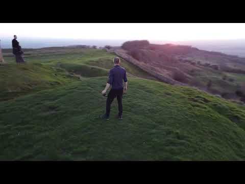
November sunset at Bredon hill Worcestershire

An early evening stroll up to the tower to see the sunset. Brendon hill Worcestershire.

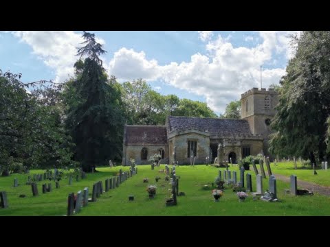
Church of St Mary, Hill Lane, Elmley Castle, Worcestershire, England 16th August 2023 #4k

An afternoon walk around St Mary's Church, Hill Lane, Elmley Castle, Pershore, Worcestershire, England. Videoed on ...

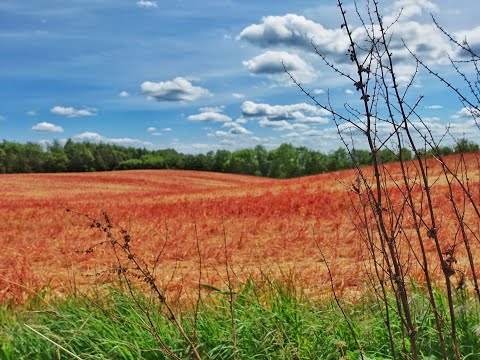
A few hours exploring Bredon Hill ¦ Deadlock

Following the Malvern Hills walking video, I thought I'd do another but, this time, up Bredon Hill. Still Worcestershire, less than 10 ...
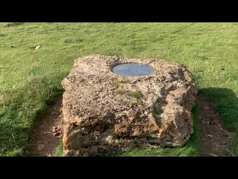
Bredon Hill Walk

We walked up from Westmancote, past the King & Queen Stones to the top of the hill.

Nearby Amenities

Located within 500m of 52.066274,-2.0662988
Bench
Lat/Long: 52.0659299/-2.0713645
Barrier: kissing_gate
Lat/Long: 52.0665248/-2.0694948
Barrier: kissing_gate
Lat/Long: 52.0689765/-2.0647513
Power: pole
Lat/Long: 52.0700564/-2.0694416
Power: pole
Lat/Long: 52.0696376/-2.0698909
Power: pole
Lat/Long: 52.0687403/-2.070829
Power: pole
Lat/Long: 52.0680556/-2.0715384
Power: pole
Lat/Long: 52.0674711/-2.0721687
Power: pole
Lat/Long: 52.0662794/-2.0733992
Power: pole
Lat/Long: 52.0668375/-2.0728064
The data included in this document is from www.openstreetmap.org. The data is made available under ODbL.

Have you been to Batten's Wood?

Leave your review of Batten's Wood below (or comments, questions and feedback).