Bredon Hill

Hill, Mountain in Gloucestershire Wychavon

England

Bredon Hill

Track on Bredon Hill Track and permissive path near Lalu Farm on Bredon Hill.
Track on Bredon Hill Credit: Philip Halling

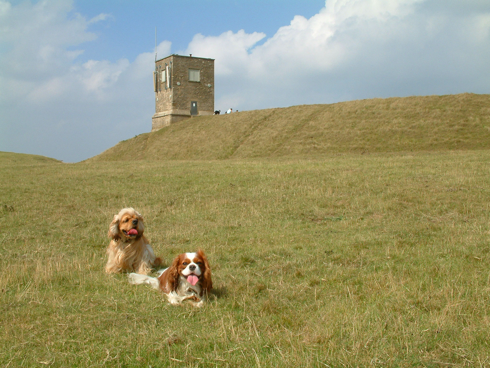
Bredon Hill is a prominent landmark in Gloucestershire, England, located near the village of Bredon. Standing at an elevation of 981 feet (299 meters), it is often referred to as a hill rather than a mountain due to its comparatively modest height. Despite this, Bredon Hill provides breathtaking panoramic views of the surrounding countryside and is a popular destination for hikers and nature enthusiasts.

The hill is formed from Jurassic limestone, which gives it a distinctive appearance and contributes to its ecological significance. Bredon Hill is home to a rich variety of plant and animal species, including rare orchids and butterflies. Additionally, it hosts a diverse range of habitats, such as grasslands, woodlands, and scrubland, which further enhance its ecological value.

At the summit of Bredon Hill, there is an Iron Age hill fort known as Bredon Hill Fort. This ancient defensive structure, dating back to the 1st century BC, is a testament to the hill's historical importance. The fort offers a glimpse into the area's past and provides a unique opportunity for visitors to explore its archaeological significance.

The hill is also known for its association with A.E. Housman's poem "A Shropshire Lad," specifically the line, "And the gleaming river went winding on beneath the hill." This literary connection adds to the cultural significance of Bredon Hill, attracting literature enthusiasts and admirers of Housman's work.

Overall, Bredon Hill is a captivating natural landmark in Gloucestershire, offering a combination of scenic beauty, ecological diversity, and historical intrigue.

If you have any feedback on the listing, please let us know in the comments section below.
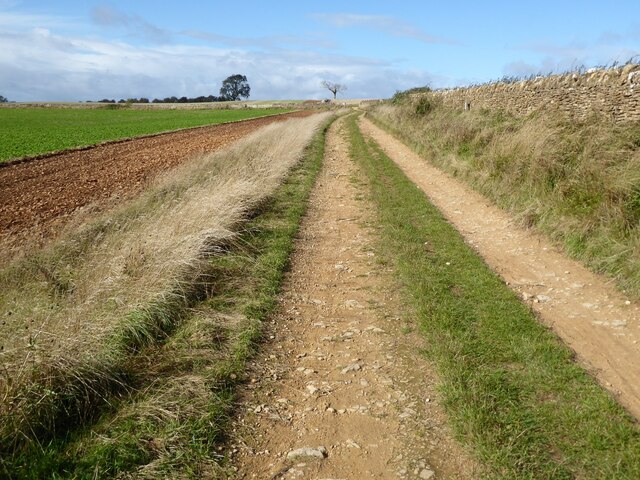
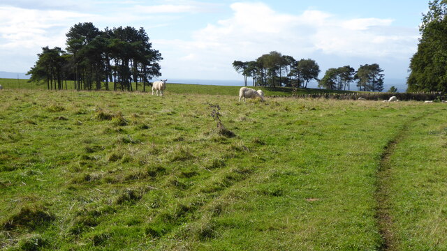
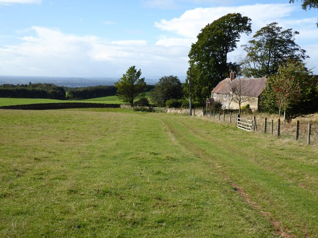
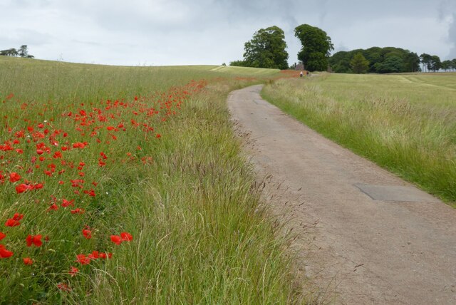
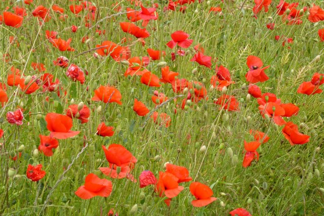
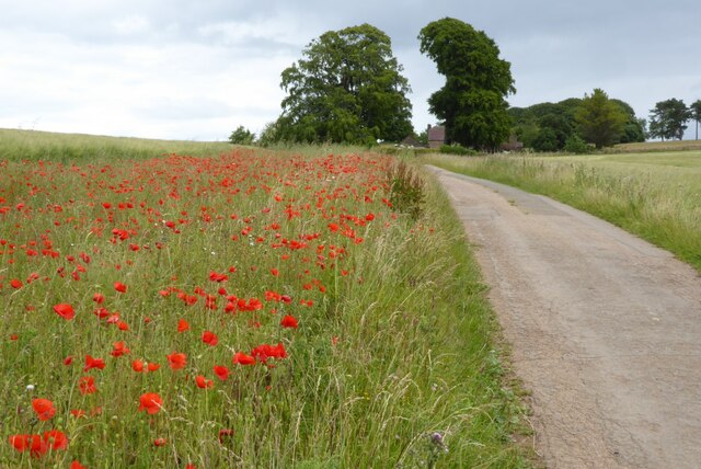
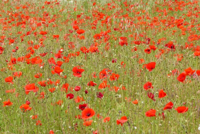
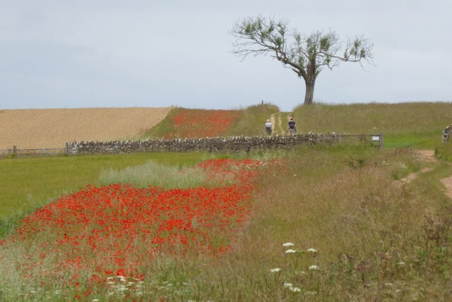
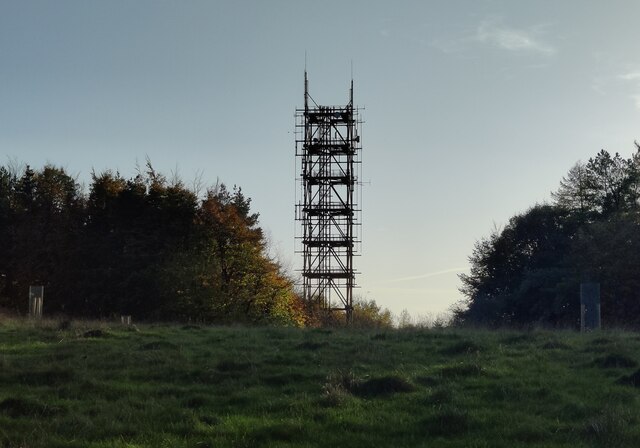
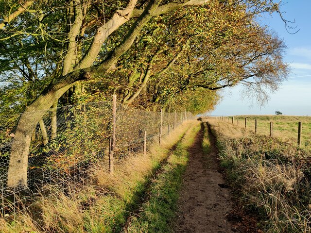
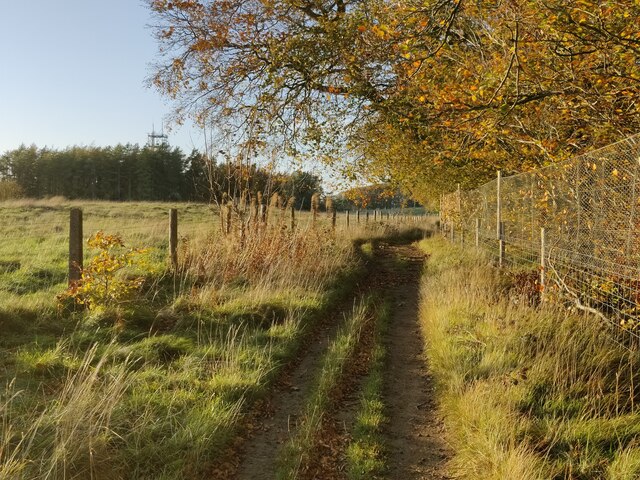
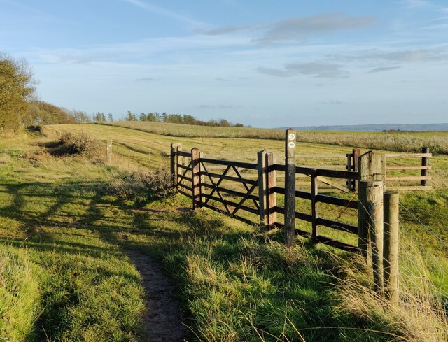
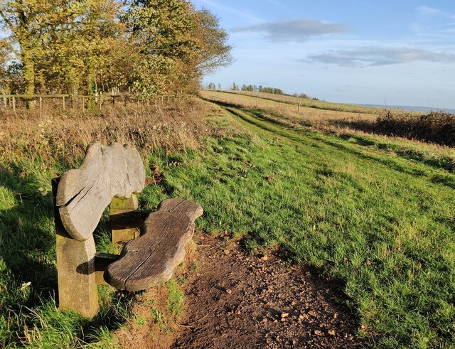
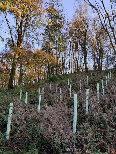
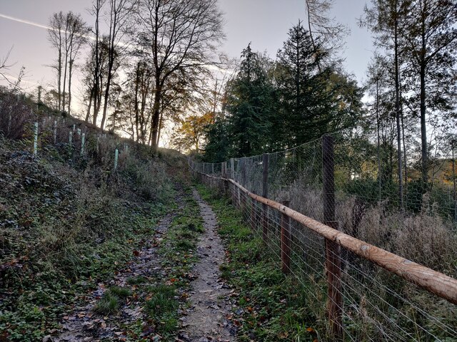
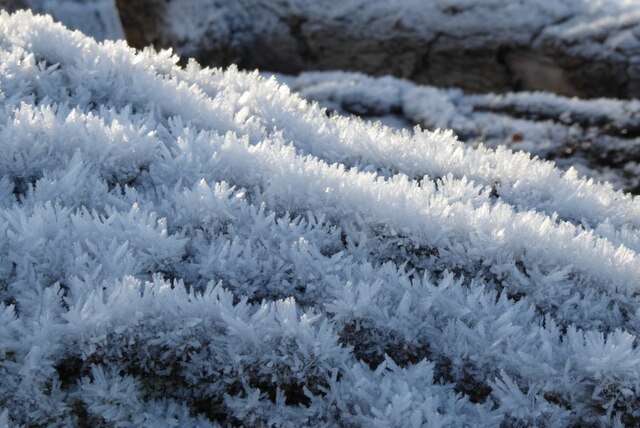
Bredon Hill Images

Images are sourced within 2km of 52.060791/-2.0634464 or Grid Reference SO9540. Thanks to Geograph Open Source API. All images are credited.

Track on Bredon Hill Track and permissive path near Lalu Farm on Bredon Hill.
Track on Bredon Hill
Track and permissive path near Lalu Farm on Bredon Hill.
Sheep and trees on Bredon Hill The trees in the background are in clump giving the impression it has been planted as an estate parkland.
Sheep and trees on Bredon Hill
The trees in the background are in clump giving the impression it has been planted as an estate parkland.
Bridleway passing Lalu Farm Bridleway passing Lalu Farm on Bredon Hill with Gloucestershire and the Severn vale in the distance.
Bridleway passing Lalu Farm
Bridleway passing Lalu Farm on Bredon Hill with Gloucestershire and the Severn vale in the distance.
Drive to Lalu Farm Poppies beside the drive on Bredon Hill leading to Lalu Farm.
Drive to Lalu Farm
Poppies beside the drive on Bredon Hill leading to Lalu Farm.
Poppies on Bredon Hill Poppies on Bredon Hill near Lalu Farm.
Poppies on Bredon Hill
Poppies on Bredon Hill near Lalu Farm.
Drive to Lalu Farm Poppies in the field headland beside the drive to Lalu Farm on Bredon Hill.
Drive to Lalu Farm
Poppies in the field headland beside the drive to Lalu Farm on Bredon Hill.
Poppies on Bredon Hill Poppies on Bredon Hill near Lalu Farm.
Poppies on Bredon Hill
Poppies on Bredon Hill near Lalu Farm.
Walkers on Bredon Hill Poppies in a field headland beside a track on Bredon Hill.  Walkers on the track are heading for Parsons Folly and summit of Bredon Hill.
Walkers on Bredon Hill
Poppies in a field headland beside a track on Bredon Hill. Walkers on the track are heading for Parsons Folly and summit of Bredon Hill.
Telecommunications mast on Bredon Hill Bredon Hill, 299 m (981 ft), is in South Worcestershire, it is geologically part of the Cotswolds but stands isolated in the Vale of Evesham.
There is a small stone tower on the summit called Parsons Folly, along with the remains of an Iron Age hill fort known as Kemerton Camp, abandoned in the 1st century AD.
Telecommunications mast on Bredon Hill
Bredon Hill, 299 m (981 ft), is in South Worcestershire, it is geologically part of the Cotswolds but stands isolated in the Vale of Evesham. There is a small stone tower on the summit called Parsons Folly, along with the remains of an Iron Age hill fort known as Kemerton Camp, abandoned in the 1st century AD.
Wychavon Way at Long Plantation on Bredon Hill The Wychavon Way begins in the Worcestershire town of Droitwich Spa and ends in the Cotswold village of Broadway. The trail is about 40 miles (64 km) in length and was created in 1977 to celebrate the Queen's Silver Jubilee.
Wychavon Way at Long Plantation on Bredon Hill
The Wychavon Way begins in the Worcestershire town of Droitwich Spa and ends in the Cotswold village of Broadway. The trail is about 40 miles (64 km) in length and was created in 1977 to celebrate the Queen's Silver Jubilee.
Wychavon Way on Bredon Hill The Wychavon Way begins in the Worcestershire town of Droitwich Spa and ends in the Cotswold village of Broadway. The trail is about 40 miles (64 km) in length and was created in 1977 to celebrate the Queen's Silver Jubilee.
Wychavon Way on Bredon Hill
The Wychavon Way begins in the Worcestershire town of Droitwich Spa and ends in the Cotswold village of Broadway. The trail is about 40 miles (64 km) in length and was created in 1977 to celebrate the Queen's Silver Jubilee.
Seat along the Wychavon Way on Bredon Hill Bredon Hill, 299 m (981 ft), is in South Worcestershire, it is geologically part of the Cotswolds but stands isolated in the Vale of Evesham.
There is a small stone tower on the summit called Parsons Folly, along with the remains of an Iron Age hill fort known as Kemerton Camp, abandoned in the 1st century AD.
Seat along the Wychavon Way on Bredon Hill
Bredon Hill, 299 m (981 ft), is in South Worcestershire, it is geologically part of the Cotswolds but stands isolated in the Vale of Evesham. There is a small stone tower on the summit called Parsons Folly, along with the remains of an Iron Age hill fort known as Kemerton Camp, abandoned in the 1st century AD.
Long Plantation on Bredon Hill Bredon Hill, 299 m (981 ft), is in South Worcestershire, it is geologically part of the Cotswolds but stands isolated in the Vale of Evesham.
There is a small stone tower on the summit called Parsons Folly, along with the remains of an Iron Age hill fort known as Kemerton Camp, abandoned in the 1st century AD.
Long Plantation on Bredon Hill
Bredon Hill, 299 m (981 ft), is in South Worcestershire, it is geologically part of the Cotswolds but stands isolated in the Vale of Evesham. There is a small stone tower on the summit called Parsons Folly, along with the remains of an Iron Age hill fort known as Kemerton Camp, abandoned in the 1st century AD.
Bridleway in Long Plantation on Bredon Hill Bredon Hill, 299 m (981 ft), is in South Worcestershire, it is geologically part of the Cotswolds but stands isolated in the Vale of Evesham.
There is a small stone tower on the summit called Parsons Folly, along with the remains of an Iron Age hill fort known as Kemerton Camp, abandoned in the 1st century AD.
Bridleway in Long Plantation on Bredon Hill
Bredon Hill, 299 m (981 ft), is in South Worcestershire, it is geologically part of the Cotswolds but stands isolated in the Vale of Evesham. There is a small stone tower on the summit called Parsons Folly, along with the remains of an Iron Age hill fort known as Kemerton Camp, abandoned in the 1st century AD.
Bridleway on Bredon Hill Bridleway and track on Bredon Hill pictured on a frosty December day.
Bridleway on Bredon Hill
Bridleway and track on Bredon Hill pictured on a frosty December day.
Bridleway on Bredon Hill Bridleway and track on Bredon Hill.
Bridleway on Bredon Hill
Bridleway and track on Bredon Hill.
Frost on a tree trunk Frost on a tree trunk in a wood pile beside a bridleway on Bredon Hill.
Frost on a tree trunk
Frost on a tree trunk in a wood pile beside a bridleway on Bredon Hill.
Show me another place!

Bredon Hill is located at Grid Ref: SO9540 (Lat: 52.060791, Lng: -2.0634464)

Administrative County: Worcestershire

District: Wychavon

Police Authority: West Mercia

What 3 Words

///warbler.dumpling.mysteries. Near Eckington, Worcestershire

Related Wikis

Bredon Hill

Bredon Hill is a hill in Worcestershire, England, south-west of Evesham in the Vale of Evesham. The summit of the hill is in the parish of Kemerton, and...

Bredon Hill Hoard

The Bredon Hill Hoard (also known as the Bredon Hill Roman Coin Hoard) is a hoard of 3,784 debased silver Roman coins discovered in June 2011 by two metal...

Great Comberton

Great Comberton is a village in Worcestershire, England, United Kingdom. == Location == Great Comberton village is located 3 kilometres or two-and-a-half...

Elmley Castle (castle)

Elmley Castle was a late 11th-century earthwork and timber castle which received stone additions in the 12th and possibly 13th centuries, located 0.5 miles...

Overbury

Overbury is a village and civil parish in Worcestershire, England, midway between Evesham and Tewkesbury south of Bredon Hill. The manor of Overbury was...

Overbury Court

Overbury Court is a Georgian style country house in Overbury, Worcestershire, England. It is a privately owned Grade II* listed building. It is built in...

Elmley Castle

Elmley Castle is a village and civil parish in Worcestershire, in England, United Kingdom. It is located on the north side of Bredon Hill 3 miles south...

Little Comberton

Little Comberton is a small village in Worcestershire, England. It is located 2.5 miles (4.0 km) to the southeast of Pershore. Little Comberton has a village...

Related Videos

A few hours exploring Bredon Hill ¦ Deadlock

Following the Malvern Hills walking video, I thought I'd do another but, this time, up Bredon Hill. Still Worcestershire, less than 10 ...

Bredon Hill Walk

We walked up from Westmancote, past the King & Queen Stones to the top of the hill.

Church of St Mary, Hill Lane, Elmley Castle, Worcestershire, England 16th August 2023 #4k

An afternoon walk around St Mary's Church, Hill Lane, Elmley Castle, Pershore, Worcestershire, England. Videoed on ...

A Stampede of cows on a hike to Bredon Hill Kemerton Camp by Elephant rock in the British Army Bivi.

Filmed August 0th 2022 with the DJI MINI 3 PRO @ https://amzn.to/3luGADE Bredon Hill @ https://amzn.to/3C9dwLp I hiked in 40c ...

Nearby Amenities

Located within 500m of 52.060791,-2.0634464
Bredon Hill
Ele: 299
Natural: peak
Wikidata: Q4960146
Wikipedia: en:Bredon Hill
Lat/Long: 52.0611473/-2.0634637
Banbury Stone
Loc Name: The Elephant Rock
Natural: stone
Tourism: attraction
Lat/Long: 52.0603134/-2.0644715
Barrier: stile
Fixme: Check if this is now a gate
Material: stone
Step Count: 1
Stile: stepover
Lat/Long: 52.061199/-2.0600415
Toposcope
Information: map
Map Type: toposcope
Tourism: viewpoint
Tourism 1: information
Lat/Long: 52.0607637/-2.0634032
Tourism: viewpoint
Lat/Long: 52.0600772/-2.0641839
Kemerton Camp Hillfort
Archaeological Site: fortification
Fortification Type: hill_fort
Historic: archaeological_site
Tourism: attraction
Lat/Long: 52.0600727/-2.0611015
Racal Radio Station
Location Transition: yes
Power: pole
Transformer: distribution
Voltage Primary: 11000
Lat/Long: 52.0571036/-2.0633121
The data included in this document is from www.openstreetmap.org. The data is made available under ODbL.

Have you been to Bredon Hill?

Leave your review of Bredon Hill below (or comments, questions and feedback).