Hall Wood

Wood, Forest in Staffordshire Stafford

England

Hall Wood

B5027 near Milwich
B5027 near Milwich Credit: Steven Brown

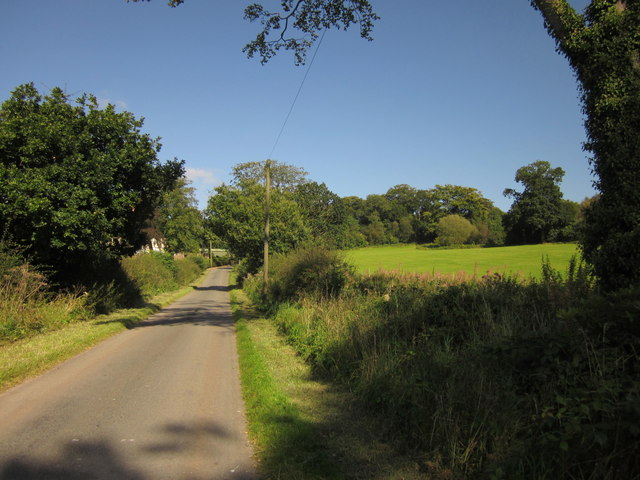
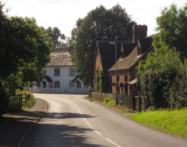
Hall Wood is a picturesque woodland located in the county of Staffordshire, England. Covering an area of approximately 100 acres, it is a popular destination for nature lovers and outdoor enthusiasts. The wood is situated in close proximity to the village of Wood, providing easy access for visitors.

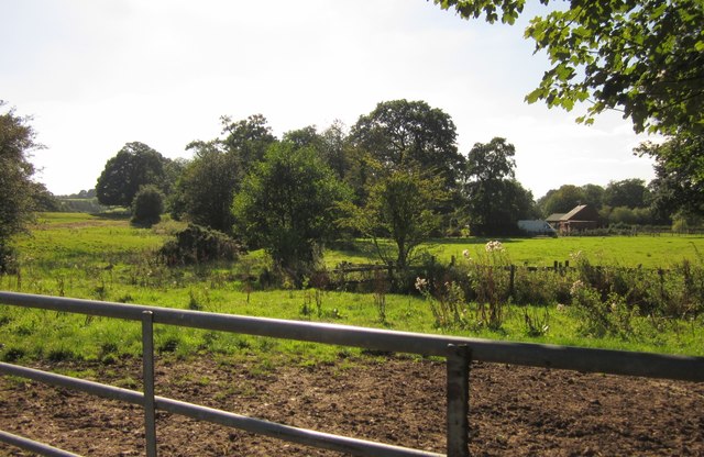
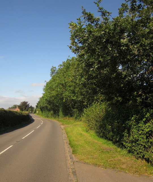
The woodland is predominantly composed of broadleaf trees, including oak, beech, and birch, which create a dense and vibrant canopy. This rich diversity of trees provides a habitat for a variety of wildlife, including birds, squirrels, and deer. The peaceful ambiance of Hall Wood makes it an ideal spot for birdwatching and nature photography.

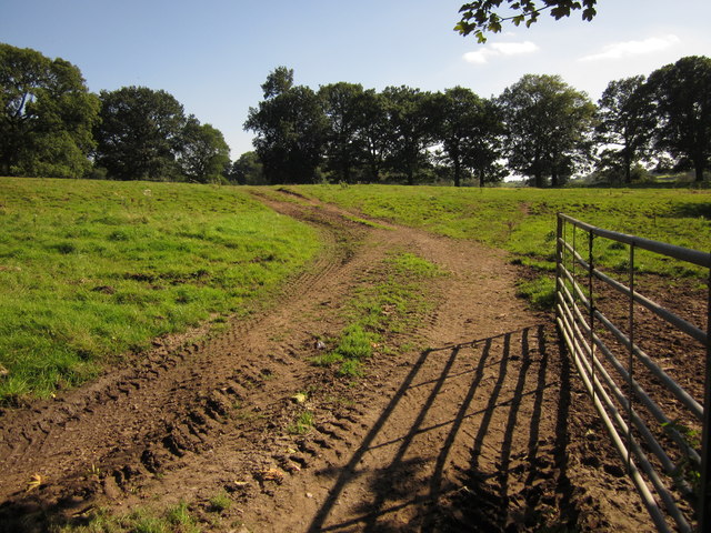
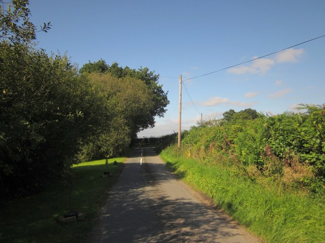
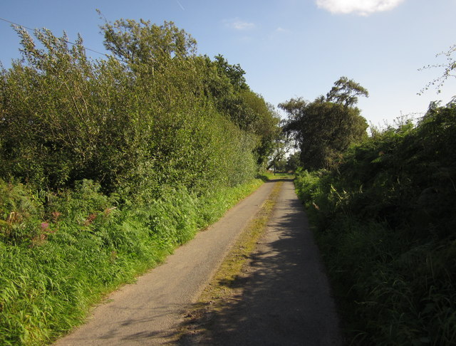
Visitors to Hall Wood can enjoy a network of well-maintained footpaths that wind their way through the wood. These paths allow for pleasant walks and provide opportunities to explore the natural beauty of the area. There are also several designated picnic areas, where visitors can relax and enjoy the tranquil surroundings.

The wood is open to the public throughout the year, and there is no entrance fee. However, it is important to note that there are no facilities such as toilets or refreshment kiosks on-site. Visitors are advised to bring their own supplies and take any waste with them to maintain the cleanliness of the woodland.

Overall, Hall Wood offers a serene and peaceful retreat for those seeking to immerse themselves in nature. Its accessibility and diverse flora and fauna make it a must-visit destination for both locals and tourists alike.

If you have any feedback on the listing, please let us know in the comments section below.
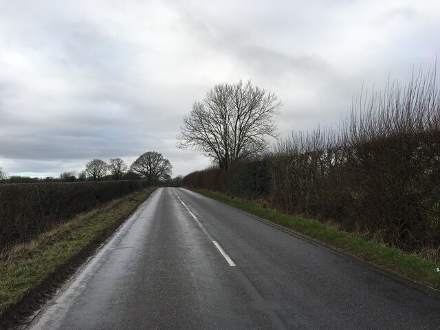
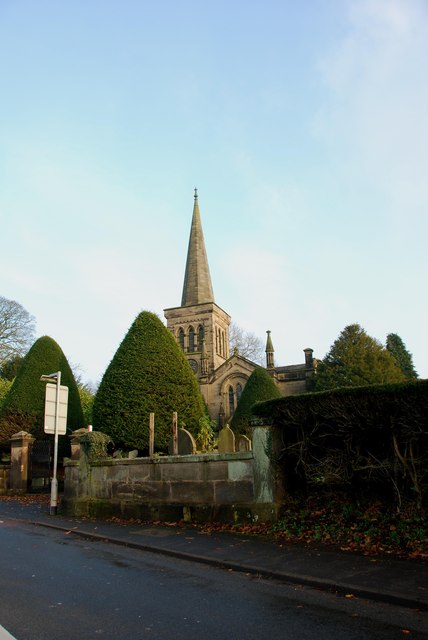
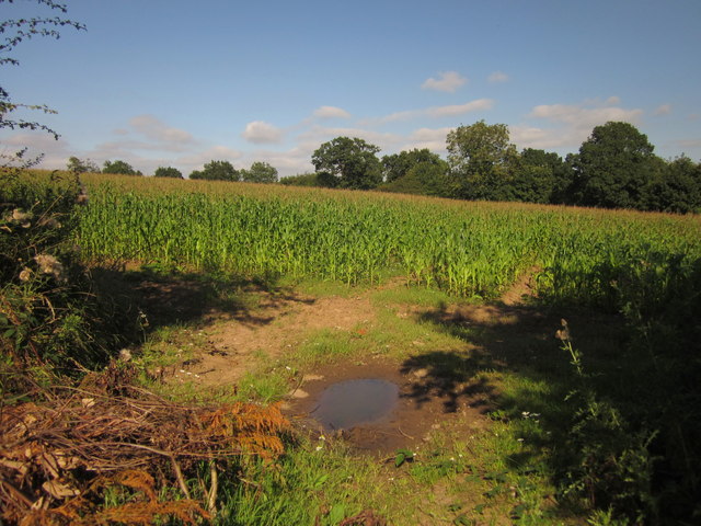
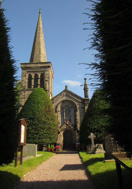
Hall Wood Images

Images are sourced within 2km of 52.907831/-2.0675814 or Grid Reference SJ9534. Thanks to Geograph Open Source API. All images are credited.

B5027 near Milwich
B5027 near Milwich
Looking across to Hilderstone Church
Road Junction for the B5066 and the B5027
Looking across Fields from the B5066
Maize near Hilderstone From the bend in the lane shown in <a href="https://www.geograph.org.uk/photo/199447">SJ9435 : Lane near Hilderstone</a>. The trees mark the line of the B5066.
Maize near Hilderstone
From the bend in the lane shown in SJ9435 : Lane near Hilderstone. The trees mark the line of the B5066.
Christ Church, Hilderstone Built in 1827-9 by Thomas Trubshaw <span class="nowrap"><a title="http://www.britishlistedbuildings.co.uk/en-272244-christ-church-hilderstone-staffordshire" rel="nofollow ugc noopener" href="http://www.britishlistedbuildings.co.uk/en-272244-christ-church-hilderstone-staffordshire">Link</a><img style="margin-left:2px;" alt="External link" title="External link - shift click to open in new window" src="https://s1.geograph.org.uk/img/external.png" width="10" height="10"/></span> .
Christ Church, Hilderstone
Built in 1827-9 by Thomas Trubshaw LinkExternal link .
Hall Lane Approaching <a href="https://www.geograph.org.uk/photo/459470">SJ9535 : Manor House, Hilderstone</a>. The wood on the right is named "New Forest" but is fairly modest in size.
Hall Lane
Approaching SJ9535 : Manor House, Hilderstone. The wood on the right is named "New Forest" but is fairly modest in size.
Field by Hall Lane An open gate into a pasture by the lane shown in <a href="https://www.geograph.org.uk/photo/3126295">SJ9535 : Hall Lane</a>. The trees ahead form an avenue across the park of Hilderstone Hall.
Field by Hall Lane
An open gate into a pasture by the lane shown in SJ9535 : Hall Lane. The trees ahead form an avenue across the park of Hilderstone Hall.
Field, Newfields Farm A harvested grass field, seen from the lane between Cotwalton and Hilderstone.
Field, Newfields Farm
A harvested grass field, seen from the lane between Cotwalton and Hilderstone.
Cresswell Road, Hilderstone With the road meeting the B5066. On the far side of the junction are The Smithy and School House, early C19 gothic with pointed arched windows <span class="nowrap"><a title="http://www.britishlistedbuildings.co.uk/en-272250-the-smithy-and-school-house-hilderstone-" rel="nofollow ugc noopener" href="http://www.britishlistedbuildings.co.uk/en-272250-the-smithy-and-school-house-hilderstone-">Link</a><img style="margin-left:2px;" alt="External link" title="External link - shift click to open in new window" src="https://s1.geograph.org.uk/img/external.png" width="10" height="10"/></span> . On the right is Mistletoe House.
Cresswell Road, Hilderstone
With the road meeting the B5066. On the far side of the junction are The Smithy and School House, early C19 gothic with pointed arched windows LinkExternal link . On the right is Mistletoe House.
Towards Brook Farm Looking to the right from the same spot as <a href="https://www.geograph.org.uk/photo/3126311">SJ9534 : Field by Hall Lane</a>, looking across a small stream and pasture fields.
Towards Brook Farm
Looking to the right from the same spot as SJ9534 : Field by Hall Lane, looking across a small stream and pasture fields.
B5066 approaching Hilderstone Sandon Road, seen near Rose Cottage.
B5066 approaching Hilderstone
Sandon Road, seen near Rose Cottage.
Butterhill Lane See <a href="https://www.geograph.org.uk/photo/80119">SD6501 : The Fleece pub, Westleigh Lane, Leigh</a> - this similar view is taken a little further back down the lane and at a different season.
Butterhill Lane
See SD6501 : The Fleece pub, Westleigh Lane, Leigh - this similar view is taken a little further back down the lane and at a different season.
Butterhill Lane Seen from near Oak House, the lane runs between low trees and a hedge towards Smallrice.
Butterhill Lane
Seen from near Oak House, the lane runs between low trees and a hedge towards Smallrice.
Garshall Green Ford This ford on Wheatlow Brook is found beside Brookhouse Farm at Garshall Green.
Garshall Green Ford
This ford on Wheatlow Brook is found beside Brookhouse Farm at Garshall Green.
Hilderstone: Roebuck Inn
Mill House Mill House is a grade-2 listed building, also known as "Stone's Throw". The Hilderstone Conservation Area Appraisal describes it thus: "This late 18th century house has an asymmetrical four-bay frontage suggesting an evolution from an earlier building. To the right is the plain elevation of a former outbuilding, which serves as a prominent reminder of the agricultural and industrial origins of the village. Its white painted rendered elevations are a recent replacement for roughcast and give it an air of status".
Mill House
Mill House is a grade-2 listed building, also known as "Stone's Throw". The Hilderstone Conservation Area Appraisal describes it thus: "This late 18th century house has an asymmetrical four-bay frontage suggesting an evolution from an earlier building. To the right is the plain elevation of a former outbuilding, which serves as a prominent reminder of the agricultural and industrial origins of the village. Its white painted rendered elevations are a recent replacement for roughcast and give it an air of status".
Development at the old Bird in Hand A new brick skin seems to have been added to what little remains of the old pub. The ultimate intention is to create 6 mews cottages.
Development at the old Bird in Hand
A new brick skin seems to have been added to what little remains of the old pub. The ultimate intention is to create 6 mews cottages.
Show me another place!

Hall Wood is located at Grid Ref: SJ9534 (Lat: 52.907831, Lng: -2.0675814)

Administrative County: Staffordshire

District: Stafford

Police Authority: Staffordshire

What 3 Words

///texted.includes.outsmart. Near Stone, Staffordshire

Related Wikis

Hilderstone

Hilderstone is a village and a civil parish in the English county of Staffordshire. == Location == The village is 8.6 miles (13.8 km) north of the town...

Milwich

Milwich is a village and a civil parish in the English county of Staffordshire. == Location == The village is 7.8 miles (12.6 km) north east of the town...

Fulford, Staffordshire

Fulford is a village and civil parish about 5 miles (8 km) north east of Stone, in the Stafford district, in the county of Staffordshire, England. The...

Moddershall

Moddershall is a small village in the borough of Stafford in the county of Staffordshire, England, part of the civil parish of Stone Rural and ecclesiastical...

Coton Hill, Staffordshire

Coton Hill is a hamlet in the English county of Staffordshire. Coton Hill is located east of the village of Milwich on the B5027 road between Stone and...

Stone Rural

Stone Rural is a civil parish in the Stafford district, in the county of Staffordshire, England. The parish includes the settlements of Aston-By-Stone...

Aston-by-Stone railway station

Aston-by-Stone railway station is a disused railway station in the village of Aston, Staffordshire, England. == History == Opened by the North Staffordshire...

Fradswell

Fradswell is a village in Staffordshire, England, approximately 7 miles (10 km) north-east of the town of Stafford and 7 miles (11 km) north of Colwich...

Nearby Amenities

Located within 500m of 52.907831,-2.0675814
The data included in this document is from www.openstreetmap.org. The data is made available under ODbL.

Have you been to Hall Wood?

Leave your review of Hall Wood below (or comments, questions and feedback).