Gloucester Beeches

Wood, Forest in Gloucestershire Cotswold

England

Gloucester Beeches

Brimsfield Park Farm
Brimsfield Park Farm Credit: P Gaskell

Gloucester Beeches, located in Gloucestershire, England, is a captivating woodland area renowned for its scenic beauty and rich biodiversity. Spanning over a vast expanse of approximately 120 acres, this ancient forest is a treasured natural gem in the region.

The prominent feature of Gloucester Beeches is the abundance of beech trees that dominate the landscape, creating a mesmerizing canopy of vibrant green foliage during the summer months. These majestic trees, some of which have stood for centuries, provide shelter and a habitat for a wide array of wildlife, making it a haven for nature enthusiasts and wildlife photographers.

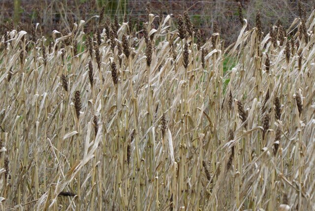
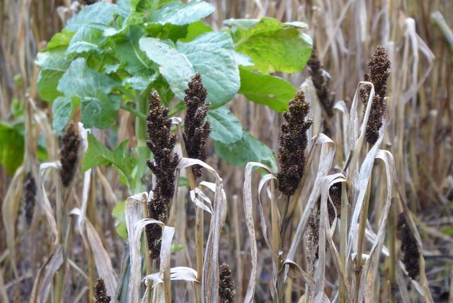
The forest floor is adorned with a diverse range of flora and fauna, including bluebells, ferns, and mosses, creating a picturesque scene that changes with each passing season. Additionally, the woodland is home to numerous bird species, such as woodpeckers, owls, and various songbirds, making it a haven for birdwatchers.

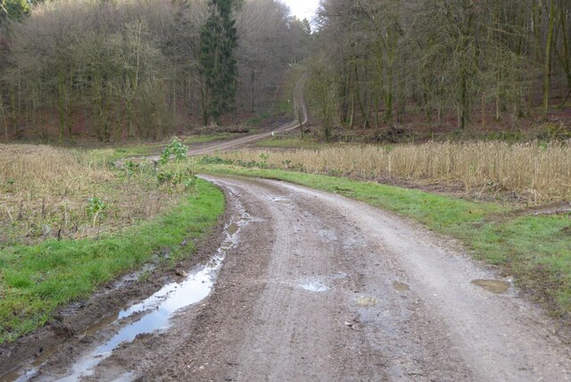
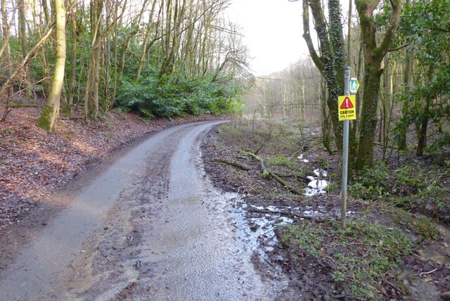
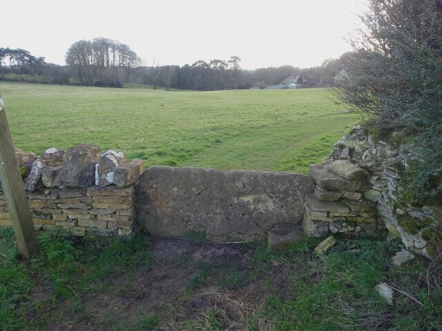
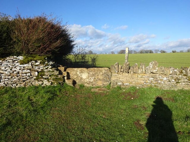
Gloucester Beeches offers a network of well-maintained walking trails, allowing visitors to explore and immerse themselves in the tranquil ambiance of the forest. These paths take visitors through enchanting groves, alongside babbling brooks, and up gentle slopes, providing breathtaking panoramic views of the surrounding countryside.

The forest also holds historical significance, with remnants of ancient settlements and archaeological sites scattered throughout the area. These remnants serve as a reminder of the forest's rich cultural heritage and provide an intriguing glimpse into the lives of the people who once inhabited the land.

Gloucester Beeches is a natural sanctuary that offers a peaceful retreat for those seeking solace in nature. Its timeless beauty and ecological importance make it a cherished destination for locals and tourists alike, preserving its status as one of Gloucestershire's most beloved woodlands.

If you have any feedback on the listing, please let us know in the comments section below.

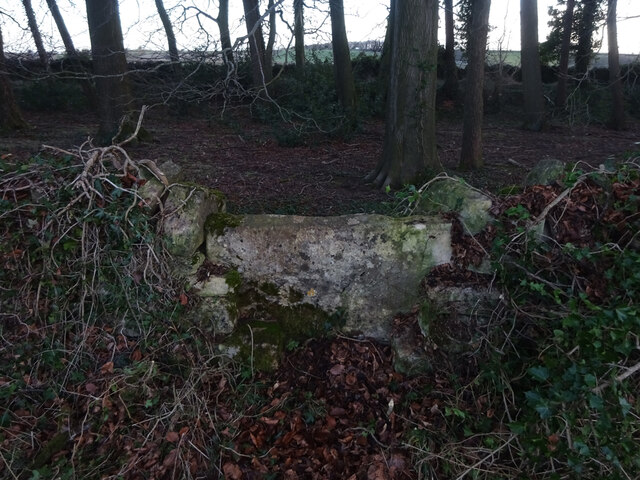
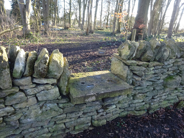
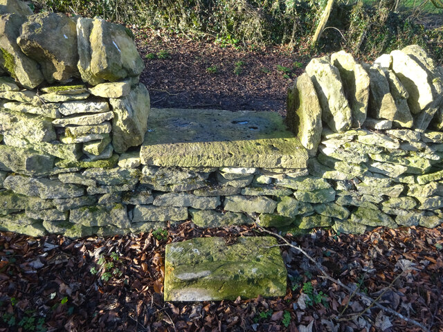
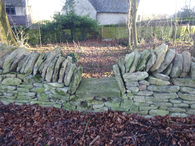
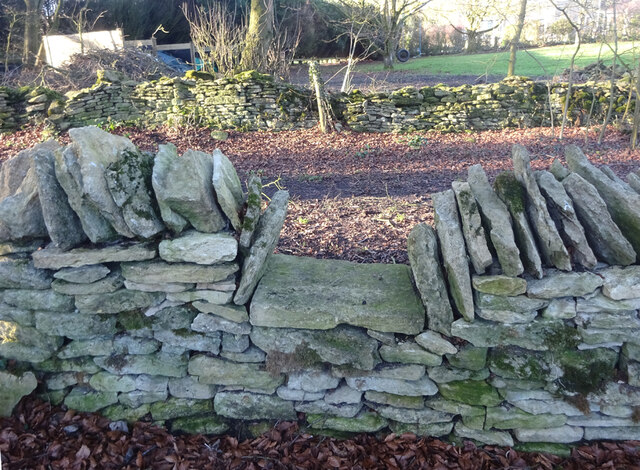
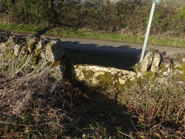
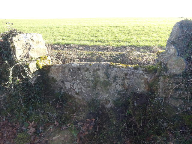
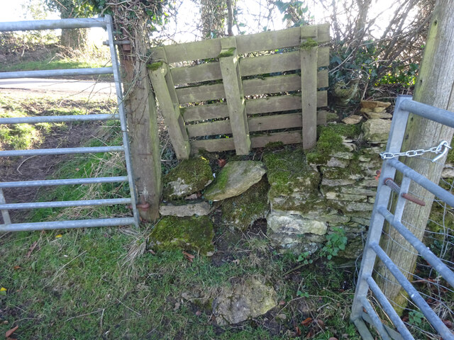
Gloucester Beeches Images

Images are sourced within 2km of 51.805589/-2.0609105 or Grid Reference SO9511. Thanks to Geograph Open Source API. All images are credited.

Brimsfield Park Farm
Watercombe Farm
Watercombe Farm
Stone Stile, Caudle Green Looking SW towards the village.
Stone Stile, Caudle Green
Looking SW towards the village.
Track into Cowley Track into Cowley Wood in Harcombe Bottom south of the village of Cowley.
Track into Cowley
Track into Cowley Wood in Harcombe Bottom south of the village of Cowley.
Game cover in Harcombe Bottom
Game cover crop Game cover crop in Harcombe Bottom.
Game cover crop
Game cover crop in Harcombe Bottom.
Road entering Harcombe Bottom
Stone Stile, Elkstone Not on a registered footpath, this affords access to the woodland and the well trodden path leads to the private house "Highgate". This is the view from the woodland, the alternative view from the road is <a href="https://www.geograph.org.uk/photo/7104422">SO9512 : Stone Stile, Elkstone</a>.
Stone Stile, Elkstone
Not on a registered footpath, this affords access to the woodland and the well trodden path leads to the private house "Highgate". This is the view from the woodland, the alternative view from the road is SO9512 : Stone Stile, Elkstone.
Stone Stile, Elkstone Not on a registered footpath, this affords access to the woodland and the well trodden path leads to the private house "Highgate" to the West. This is the view from the road, the alternative view from the woodland is <a href="https://www.geograph.org.uk/photo/7104421">SO9512 : Stone Stile, Elkstone</a>.
Stone Stile, Elkstone
Not on a registered footpath, this affords access to the woodland and the well trodden path leads to the private house "Highgate" to the West. This is the view from the road, the alternative view from the woodland is SO9512 : Stone Stile, Elkstone.
Stone Stile, Elkstone Looking South into a private wood off the restricted byway BEL12. The view looking back is <a href="https://www.geograph.org.uk/photo/7104604">SO9612 : Stone Stile, Elkstone</a>.
Stone Stile, Elkstone
Looking South into a private wood off the restricted byway BEL12. The view looking back is SO9612 : Stone Stile, Elkstone.
Stone Stile, Elkstone Looking North from a private wood to the restricted byway BEL12. The view looking in is <a href="https://www.geograph.org.uk/photo/7104602">SO9612 : Stone Stile, Elkstone</a>.
Stone Stile, Elkstone
Looking North from a private wood to the restricted byway BEL12. The view looking in is SO9612 : Stone Stile, Elkstone.
Stone Stile, Elkstone Looking South into a private wood off the restricted byway BEL12. The view looking back is <a href="https://www.geograph.org.uk/photo/7104622">SO9612 : Stone Stile, Elkstone</a>.
Stone Stile, Elkstone
Looking South into a private wood off the restricted byway BEL12. The view looking back is SO9612 : Stone Stile, Elkstone.
Stone Stile, Elkstone Looking North from a private wood to the restricted byway BEL12. The view looking in is <a href="https://www.geograph.org.uk/photo/7104620">SO9612 : Stone Stile, Elkstone</a>.
Stone Stile, Elkstone
Looking North from a private wood to the restricted byway BEL12. The view looking in is SO9612 : Stone Stile, Elkstone.
Stone Stile, Elkstone East of Highcross (crossroads) off an u/c road on Gloucestershire footpath BEL18. This is looking to the road, the view from the road is <a href="https://www.geograph.org.uk/photo/7104666">SO9713 : Stone Stile, Elkstone</a>.
Stone Stile, Elkstone
East of Highcross (crossroads) off an u/c road on Gloucestershire footpath BEL18. This is looking to the road, the view from the road is SO9713 : Stone Stile, Elkstone.
Stone Stile, Elkstone East of Highcross (crossroads) off an u/c road on Gloucestershire footpath BEL18. This is looking from the road, the view from the field is <a href="https://www.geograph.org.uk/photo/7104664">SO9713 : Stone Stile, Elkstone</a>.
Stone Stile, Elkstone
East of Highcross (crossroads) off an u/c road on Gloucestershire footpath BEL18. This is looking from the road, the view from the field is SO9713 : Stone Stile, Elkstone.
Stone Stile, Elkstone A "Fallen Idle", remains of a slab stile next to a gateway. East of Highcross off an u/c road on Gloucestershire footpath BEL19.
Stone Stile, Elkstone
A "Fallen Idle", remains of a slab stile next to a gateway. East of Highcross off an u/c road on Gloucestershire footpath BEL19.
Stone Stile, Elkstone On Gloucestershire footpaths BEL16 & BEL18 immediately East of a cottage called Ward Hay. This is the view looking South, the view North is <a href="https://www.geograph.org.uk/photo/7104821">SO9712 : Stone Stile, Elkstone</a>.
Stone Stile, Elkstone
On Gloucestershire footpaths BEL16 & BEL18 immediately East of a cottage called Ward Hay. This is the view looking South, the view North is SO9712 : Stone Stile, Elkstone.
Stone Stile, Elkstone On Gloucestershire footpaths BEL16 & BEL18 immediately East of a cottage called Ward Hay. This is the view looking North, the view South is <a href="https://www.geograph.org.uk/photo/7104819">SO9712 : Stone Stile, Elkstone</a>.
Stone Stile, Elkstone
On Gloucestershire footpaths BEL16 & BEL18 immediately East of a cottage called Ward Hay. This is the view looking North, the view South is SO9712 : Stone Stile, Elkstone.
Show me another place!

Gloucester Beeches is located at Grid Ref: SO9511 (Lat: 51.805589, Lng: -2.0609105)

Administrative County: Gloucestershire

District: Cotswold

Police Authority: Gloucestershire

What 3 Words

///spoil.whistling.wound. Near Shurdington, Gloucestershire

Related Wikis

Elkstone

Elkstone is a village and civil parish in the English county of Gloucestershire. In the 2001 United Kingdom census, the parish had a population of 203...

Church of St John the Evangelist, Elkstone

The Anglican Church of St John the Evangelist at Elkstone in the Cotswold District of Gloucestershire, England was built in the 12th century. It is a grade...

Church of St Mary the Virgin, Syde

The Anglican Church of St Mary the Virgin at Syde in the Cotswold District of Gloucestershire, England was built in the early 12th century. It is a grade...

Syde

Syde, often in the past spelt Side, is a small village and civil parish in Gloucestershire, England. It lies in the Cotswolds, near the source of the River...

Nearby Amenities

Located within 500m of 51.805589,-2.0609105
042
Ele: 259.199219
Wpt Description: G TO SR - R+U DC
Wpt Symbol: Trail Head
Lat/Long: 51.8086625/-2.062093
Fixme: incomplete
Lat/Long: 51.8091683/-2.0635169
Barrier: stile
Source: Bing
Lat/Long: 51.808364/-2.0630271
Phone
Emergency: phone
Lat/Long: 51.804671/-2.0597892
Crossing
Lat/Long: 51.8049544/-2.0593364
Crossing
Lat/Long: 51.8050069/-2.0596734
The data included in this document is from www.openstreetmap.org. The data is made available under ODbL.

Have you been to Gloucester Beeches?

Leave your review of Gloucester Beeches below (or comments, questions and feedback).