Swyre

Civil Parish in Dorset West Dorset

England

Swyre

Path leading up to New Lane & Swyre from the coast
Path leading up to New Lane & Swyre from the coast Credit: Colin Park

Swyre is a small civil parish located in the county of Dorset, England. Situated in the picturesque countryside, it lies about 10 miles southwest of the county town of Dorchester. The parish covers an area of approximately 2 square miles and is home to a population of around 100 people.

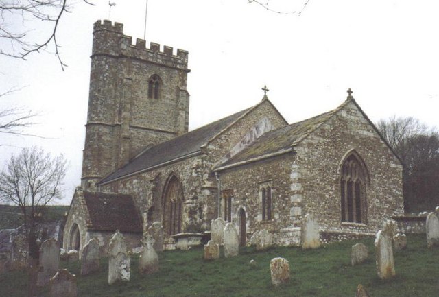
The village of Swyre itself is a charming settlement with a rich history that dates back to the medieval era. It features a handful of traditional stone cottages and farmhouses, creating a quintessential English countryside atmosphere. The parish church, St. Peter's, is a prominent landmark, showcasing beautiful architecture and serving as a place of worship for the local community.

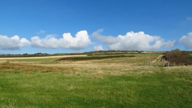
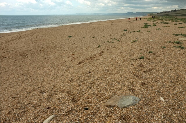
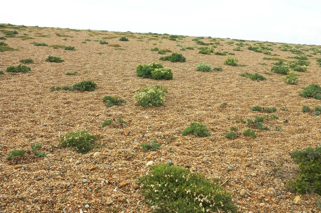
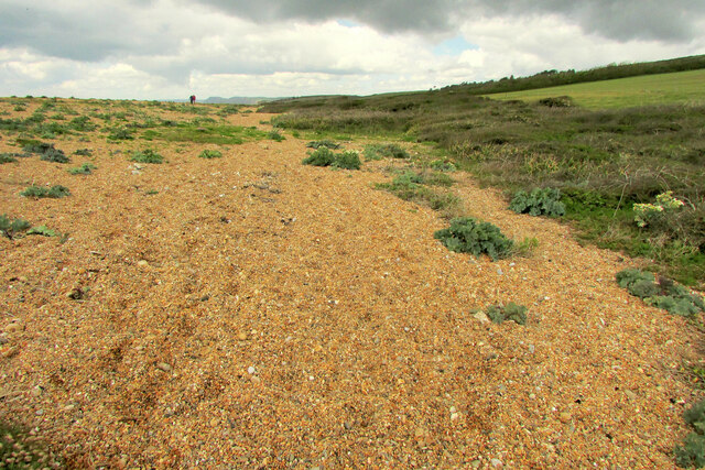
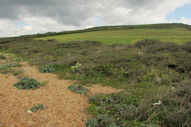
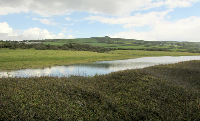
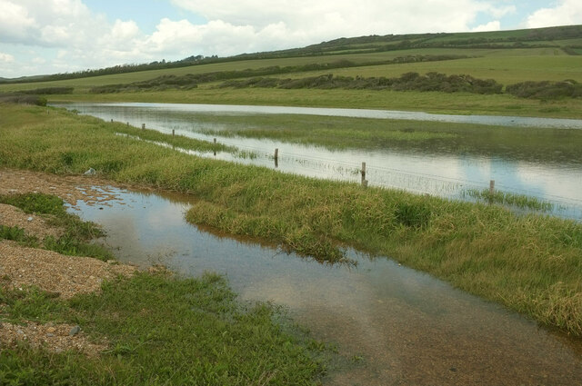
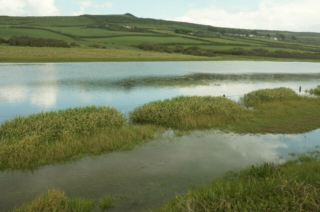
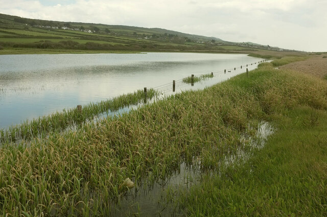
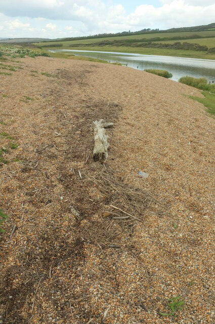
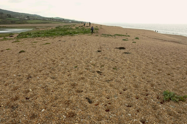
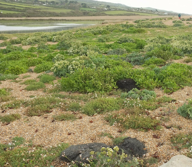
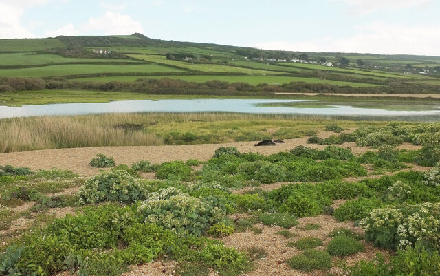
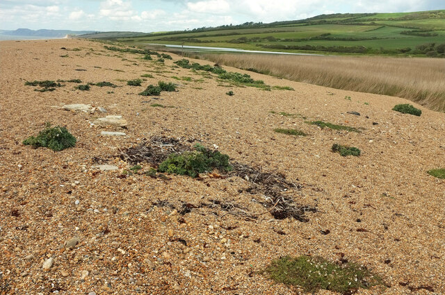
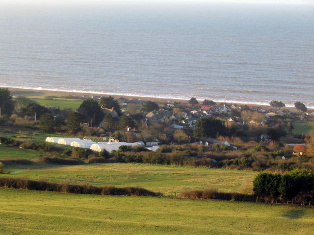
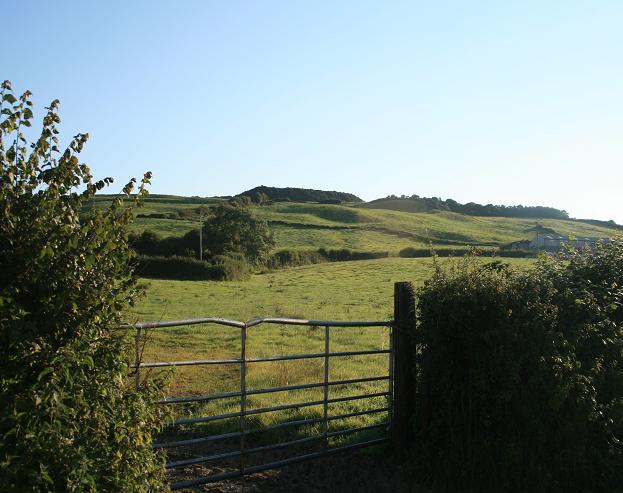
The surrounding landscape of Swyre is characterized by rolling hills, meadows, and farmland, making it an idyllic location for nature lovers and hikers. The area is also known for its stunning views of the Jurassic Coast, a UNESCO World Heritage Site renowned for its geological significance.

Although Swyre is a relatively small parish, it benefits from its proximity to nearby towns and villages. The market town of Bridport is only a short drive away, offering a range of amenities including shops, restaurants, and leisure facilities. Additionally, the bustling seaside town of Weymouth is within easy reach, providing access to sandy beaches and a vibrant waterfront.

In summary, Swyre, Dorset is a picturesque civil parish that offers a peaceful rural lifestyle amidst stunning natural surroundings. Its historical charm, beautiful landscapes, and convenient location make it a desirable place to live or visit in the heart of Dorset.

If you have any feedback on the listing, please let us know in the comments section below.
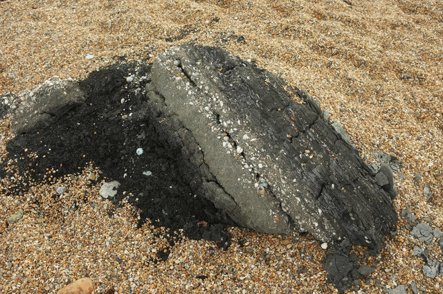
Swyre Images

Images are sourced within 2km of 50.695181/-2.678971 or Grid Reference SY5288. Thanks to Geograph Open Source API. All images are credited.

Path leading up to New Lane & Swyre from the coast
Beach beside Burton Mere Around here, Chesil Beach (behind camera) becomes Cogden Beach.
Beach beside Burton Mere
Around here, Chesil Beach (behind camera) becomes Cogden Beach.
Bittersweet, Chesil Beach Woody nightshade (Solanum dulcamara) at the top edge of the beach near the eastern pat of Burton Mere.
Bittersweet, Chesil Beach
Woody nightshade (Solanum dulcamara) at the top edge of the beach near the eastern pat of Burton Mere.
Sea kale, Chesil Beach Scattered Crambe maritima plants on the landward slope of the pebble ridge.
Sea kale, Chesil Beach
Scattered Crambe maritima plants on the landward slope of the pebble ridge.
Chesil Beach At the back edge of the shingle ridge between Burton Mere and West Bexington Nature Reserve.
Chesil Beach
At the back edge of the shingle ridge between Burton Mere and West Bexington Nature Reserve.
Scrub and grass by Chesil Beach Looking right from <a href="https://www.geograph.org.uk/photo/7058979">SY5187 : Chesil Beach</a> with overlap. The coast path and Hardy Way run along this side of the field.
Scrub and grass by Chesil Beach
Looking right from SY5187 : Chesil Beach with overlap. The coast path and Hardy Way run along this side of the field.
Pond and field west of West Bexington The pond is unmapped but appears on satellite images, though not reaching as far west as shown here.
Pond and field west of West Bexington
The pond is unmapped but appears on satellite images, though not reaching as far west as shown here.
Pond behind Chesil Beach A little further east along the side of the pond from <a href="https://www.geograph.org.uk/photo/7059012">SY5287 : Pond and field west of West Bexington</a>, looking back.
Pond behind Chesil Beach
A little further east along the side of the pond from SY5287 : Pond and field west of West Bexington, looking back.
Pond behind Chesil Beach Looking right from <a href="https://www.geograph.org.uk/photo/7059090">SY5287 : Pond behind Chesil Beach</a>, in the same direction as <a href="https://www.geograph.org.uk/photo/7059012">SY5287 : Pond and field west of West Bexington</a>, with The Knoll on the hilltop.
Pond behind Chesil Beach
Looking right from SY5287 : Pond behind Chesil Beach, in the same direction as SY5287 : Pond and field west of West Bexington, with The Knoll on the hilltop.
Pond behind Chesil Beach Looking right from <a href="https://www.geograph.org.uk/photo/7059095">SY5287 : Pond behind Chesil Beach</a>, towards West Bexington.
Pond behind Chesil Beach
Looking right from SY5287 : Pond behind Chesil Beach, towards West Bexington.
Log on the coast path In the background is the pond seen in <a href="https://www.geograph.org.uk/photo/7059159">SY5287 : Pond behind Chesil Beach</a>
Log on the coast path
In the background is the pond seen in SY5287 : Pond behind Chesil Beach
Chesil Beach west of West Bexington Very faint in the distance is the Isle of Portland.
Chesil Beach west of West Bexington
Very faint in the distance is the Isle of Portland.
Chesil Beach west of West Bexington The vegetated area seen from a distance at <a href="https://www.geograph.org.uk/photo/7059174">SY5286 : Chesil Beach west of West Bexington</a>. Many lumps of black shelly shale are scattered around this area among the sea kale and sea campion - could they be Kimmeridge Blackstone, and if so, from Portland or outcrops to the east, or from the sea bed? "Pieces of the oil shale can be seen washed up on the southeastern end of the Chesil Beach" <span class="nowrap"><a title="https://wessexcoastgeology.soton.ac.uk/Kimmeridge-Oil-Shale.htm" rel="nofollow ugc noopener" href="https://wessexcoastgeology.soton.ac.uk/Kimmeridge-Oil-Shale.htm">Link</a><img style="margin-left:2px;" alt="External link" title="External link - shift click to open in new window" src="https://s1.geograph.org.uk/img/external.png" width="10" height="10"/></span> - but this is not the southeastern end. There is "an outcrop under the sea off Chiswell" <span class="nowrap"><a title="http://www.chesilbeach.org/chesil/pebbles.html" rel="nofollow ugc noopener" href="http://www.chesilbeach.org/chesil/pebbles.html">Link</a><img style="margin-left:2px;" alt="External link" title="External link - shift click to open in new window" src="https://s1.geograph.org.uk/img/external.png" width="10" height="10"/></span> .
Chesil Beach west of West Bexington
The vegetated area seen from a distance at SY5286 : Chesil Beach west of West Bexington. Many lumps of black shelly shale are scattered around this area among the sea kale and sea campion - could they be Kimmeridge Blackstone, and if so, from Portland or outcrops to the east, or from the sea bed? "Pieces of the oil shale can be seen washed up on the southeastern end of the Chesil Beach" LinkExternal link - but this is not the southeastern end. There is "an outcrop under the sea off Chiswell" LinkExternal link .
Chesil Beach west of West Bexington From <a href="https://www.geograph.org.uk/photo/7059205">SY5286 : Chesil Beach west of West Bexington</a>, looking across a pond at West Bexington nature reserve. Further clods of what could be black oil shale can be seen a little way away.
Chesil Beach west of West Bexington
From SY5286 : Chesil Beach west of West Bexington, looking across a pond at West Bexington nature reserve. Further clods of what could be black oil shale can be seen a little way away.
Oil shale on Chesil Beach See also <a href="https://www.geograph.org.uk/photo/7059205">SY5286 : Chesil Beach west of West Bexington</a>. The paler rock has clearly stratified layers of shells; the darker stuff has probably been disturbed and decorated with pebbles.
Oil shale on Chesil Beach
See also SY5286 : Chesil Beach west of West Bexington. The paler rock has clearly stratified layers of shells; the darker stuff has probably been disturbed and decorated with pebbles.
Shells on Chesil Beach A closer look at the shells contained in the ?oil shals lumps such as those seen in <a href="https://www.geograph.org.uk/photo/7059205">SY5286 : Chesil Beach west of West Bexington</a> and <a href="https://www.geograph.org.uk/photo/7059225">SY5286 : Oil shale on Chesil Beach</a>.
Shells on Chesil Beach
A closer look at the shells contained in the ?oil shals lumps such as those seen in SY5286 : Chesil Beach west of West Bexington and SY5286 : Oil shale on Chesil Beach.
Oil shale on Chesil Beach A further example to add to <a href="https://www.geograph.org.uk/photo/7059225">SY5286 : Oil shale on Chesil Beach</a> and <a href="https://www.geograph.org.uk/photo/7059240">SY5286 : Shells on Chesil Beach</a>. Perhaps increasingly violent storms are responsible for bringing more submarine rocks ashore.
Oil shale on Chesil Beach
A further example to add to SY5286 : Oil shale on Chesil Beach and SY5286 : Shells on Chesil Beach. Perhaps increasingly violent storms are responsible for bringing more submarine rocks ashore.
Chesil Beach near West Bexington Nature Reserve The top of the beach, looking towards Cogden Beach.
Chesil Beach near West Bexington Nature Reserve
The top of the beach, looking towards Cogden Beach.
Show me another place!

Swyre is located at Grid Ref: SY5288 (Lat: 50.695181, Lng: -2.678971)

Administrative County: Dorset

District: West Dorset

Police Authority: Dorset

What 3 Words

///wool.decking.jobs. Near Bridport, Dorset

Nearby Locations

Swyre Swyre

Related Wikis

Swyre

Swyre ( ) is a small village and civil parish in southwest Dorset, England, situated in a valley beside Chesil Beach 6 miles (9.7 km) southeast of Bridport...

Holy Trinity Church, Swyre

Holy Trinity Church is a Church of England church in Swyre, Dorset, England. The oldest part of the church has been dated to the early 15th century, with...

Puncknowle

Puncknowle ( PUN-əl) is a village and civil parish in the county of Dorset in southwest England, situated on the southern slopes of the Bride Valley approximately...

Chilcombe

Chilcombe is a hamlet and civil parish in Dorset, England, situated in the Dorset unitary authority administrative area about 4 miles (6.4 km) east of...

West Bexington

West Bexington is a village in south-west Dorset, England, sited just behind the Chesil Beach about 6 miles (10 km) southeast of Bridport. It forms part...

Burton Bradstock

Burton Bradstock is a village and civil parish in Dorset, England, approximately 2+1⁄2 miles (4 km) southeast of Bridport and 1⁄2 mile (0.8 km) inland...

Litton Cheney

Litton Cheney is a village and civil parish in the county of Dorset in south-west England. It lies 9 miles (14 km) west of the county town Dorchester....

Shipton Hill Settlement

The Shipton Hill Settlement is an archaeological site, a defended settlement of the Iron Age, near Shipton Gorge in Dorset, England. It is a scheduled...

Nearby Amenities

Located within 500m of 50.695181,-2.678971
Material: wood
Power: pole
Source: bing
Lat/Long: 50.6935943/-2.6736089
Material: wood
Power: pole
Source: bing
Lat/Long: 50.6936445/-2.6752375
Material: wood
Power: pole
Source: bing
Lat/Long: 50.6936946/-2.6768906
Material: wood
Power: pole
Source: bing
Lat/Long: 50.6937418/-2.672333
Cafe
Eggcup Tearooms
Check Date: 2023-06-04
Lat/Long: 50.6927292/-2.6770817
The data included in this document is from www.openstreetmap.org. The data is made available under ODbL.

Have you been to Swyre?

Leave your review of Swyre below (or comments, questions and feedback).