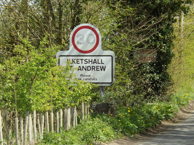
St. Lawrence, Ilketshall
Civil Parish in Suffolk East Suffolk
England
St. Lawrence, Ilketshall
St. Lawrence, Ilketshall is a civil parish located in the county of Suffolk, England. It is situated in the Waveney district, approximately 5 miles southwest of the town of Beccles. The parish covers an area of around 6 square kilometers and has a population of about 200 residents.
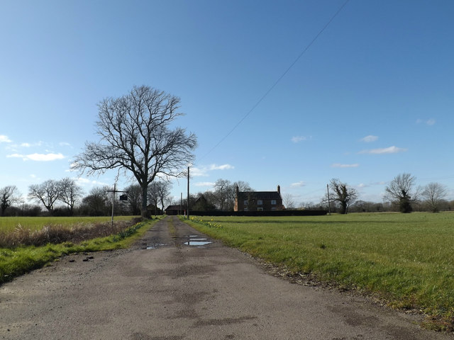
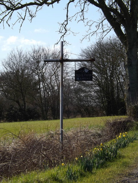
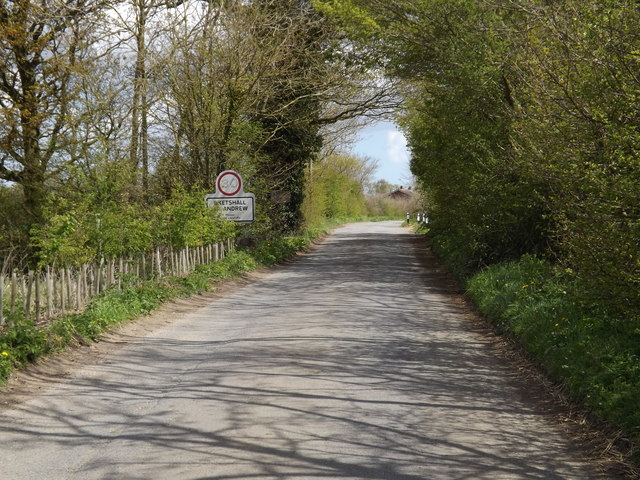
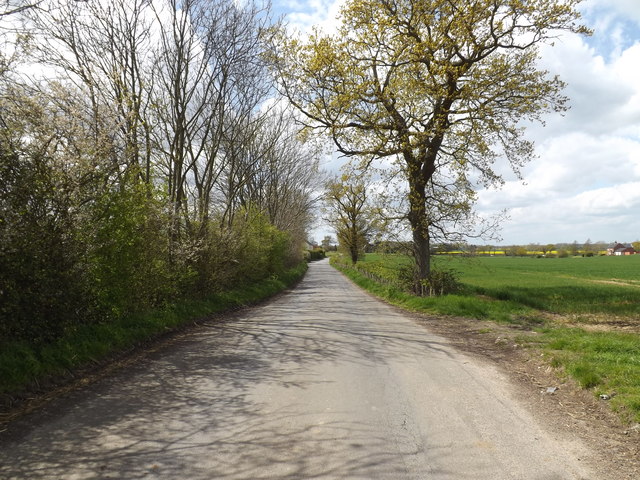
The village of St. Lawrence, Ilketshall is characterized by its rural setting and picturesque countryside. It is surrounded by fields, farms, and woodland, offering a tranquil and scenic environment for its inhabitants. The parish is known for its rolling hills, charming cottages, and traditional English architecture.
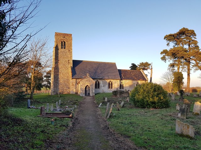
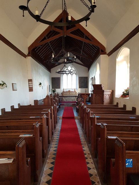
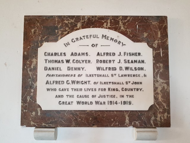
Despite its small size, St. Lawrence, Ilketshall has a rich history. The village is home to St. Lawrence Church, a Grade I listed building that dates back to the 14th century. The church is renowned for its beautiful stained glass windows and ornate stone carvings.
The economy of St. Lawrence, Ilketshall is primarily based on agriculture, with many residents involved in farming and livestock rearing. The village has a strong sense of community, with various social and recreational activities organized throughout the year. The parish also benefits from its proximity to Beccles, which provides additional amenities and services.
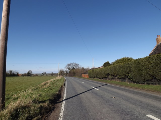
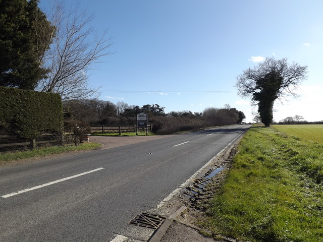
In terms of transportation, St. Lawrence, Ilketshall is connected to nearby towns and villages via a network of roads. The A144 road runs through the parish, making it easily accessible by car. Public transportation options are limited, with infrequent bus services available in the area.
Overall, St. Lawrence, Ilketshall offers a peaceful and idyllic lifestyle for its residents, with its charming countryside, historical landmarks, and close-knit community.
If you have any feedback on the listing, please let us know in the comments section below.
St. Lawrence, Ilketshall Images
Images are sourced within 2km of 52.41173/1.486698 or Grid Reference TM3785. Thanks to Geograph Open Source API. All images are credited.


St. Lawrence, Ilketshall is located at Grid Ref: TM3785 (Lat: 52.41173, Lng: 1.486698)
Administrative County: Suffolk
District: East Suffolk
Police Authority: Suffolk
What 3 Words
///chicken.revolts.geek. Near Bungay, Suffolk
Nearby Locations
Related Wikis

The Saints, Suffolk
The Saints are a group of villages in the north of the English county of Suffolk, between the rivers Blyth and Waveney near to the border with Norfolk...

Ilketshall St Lawrence
Ilketshall St Lawrence is a village and civil parish in the East Suffolk district of the English county of Suffolk. It is 3 miles (4.8 km) south-east of...

Waveney (UK Parliament constituency)
Waveney is a constituency represented in the House of Commons of the UK Parliament since 2010 by Peter Aldous, a Conservative. It returns one Member of...

A144 road
The A144 is an A road in the English county of Suffolk. It runs from the town of Bungay, close to the border with Norfolk, to the A12 trunk road near the...
Nearby Amenities
Located within 500m of 52.41173,1.486698Have you been to St. Lawrence, Ilketshall?
Leave your review of St. Lawrence, Ilketshall below (or comments, questions and feedback).