Ant Hill Plantation
Wood, Forest in Suffolk East Suffolk
England
Ant Hill Plantation
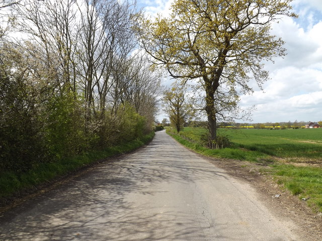
Ant Hill Plantation, located in Suffolk, is a charming woodland estate surrounded by a lush forest. Spanning over acres of land, this picturesque plantation offers a serene and tranquil escape from the bustling city life. The plantation is widely known for its dense woodlands, which are home to a variety of native flora and fauna.
The forest in Ant Hill Plantation is a diverse ecosystem, consisting of towering oak, pine, and maple trees that create a dense canopy overhead. The forest floor is rich with an assortment of wildflowers, ferns, and mosses, adding to the enchanting beauty of the surroundings. The plantation is also famous for its vibrant autumn foliage, drawing visitors from near and far to witness the breathtaking colors that paint the landscape.
The woodland is teeming with wildlife, providing a haven for various species. Birdwatchers can spot a multitude of bird species, including woodpeckers, owls, and warblers. Small mammals such as squirrels, rabbits, and raccoons are commonly seen scurrying about, while deer and foxes occasionally grace the forest with their presence.
Ant Hill Plantation offers numerous recreational activities for nature enthusiasts. Hiking trails wind through the forest, allowing visitors to explore its beauty up close. The plantation also provides guided nature walks and educational programs, enabling visitors to learn about the rich biodiversity and conservation efforts in the area.
In conclusion, Ant Hill Plantation in Suffolk is a captivating woodland retreat, offering a haven for nature lovers to immerse themselves in the beauty of the forest and experience the wonders of the natural world.
If you have any feedback on the listing, please let us know in the comments section below.
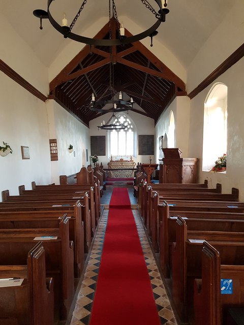
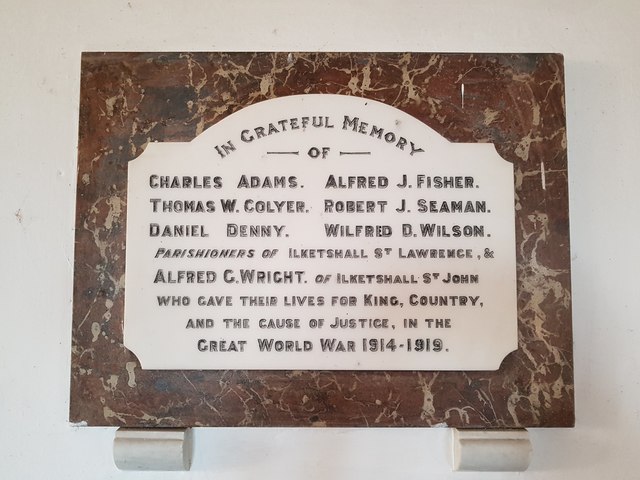
Ant Hill Plantation Images
Images are sourced within 2km of 52.415313/1.4875382 or Grid Reference TM3785. Thanks to Geograph Open Source API. All images are credited.
Ant Hill Plantation is located at Grid Ref: TM3785 (Lat: 52.415313, Lng: 1.4875382)
Administrative County: Suffolk
District: East Suffolk
Police Authority: Suffolk
What 3 Words
///models.climbing.studs. Near Bungay, Suffolk
Nearby Locations
Related Wikis

The Saints, Suffolk
The Saints are a group of villages in the north of the English county of Suffolk, between the rivers Blyth and Waveney near to the border with Norfolk...

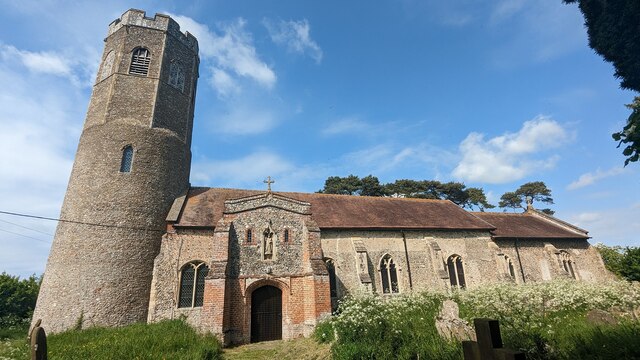
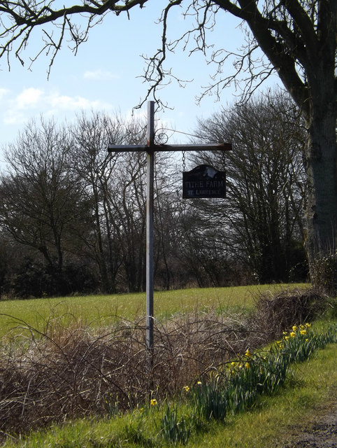
Ilketshall St Lawrence
Ilketshall St Lawrence is a village and civil parish in the East Suffolk district of the English county of Suffolk. It is 3 miles (4.8 km) south-east of...

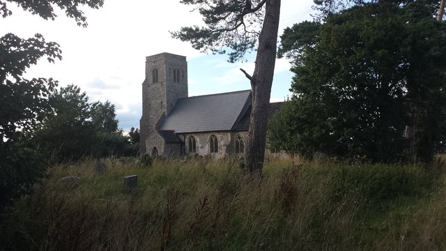
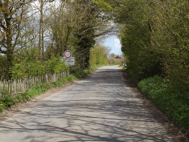
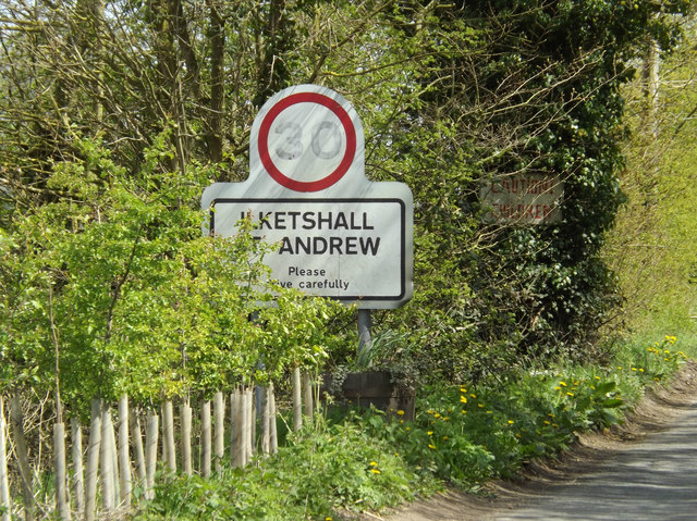
Ilketshall St Andrew
Ilketshall St Andrew is a village and civil parish in the north of the English county of Suffolk. It is 3 miles (4.8 km) south-east of Bungay and the same...

Waveney (UK Parliament constituency)
Waveney is a constituency represented in the House of Commons of the UK Parliament since 2010 by Peter Aldous, a Conservative. It returns one Member of...
Wangford Rural District
Wangford Rural District was a rural district within the administrative county of East Suffolk between 1894 and 1934. It was created out of the earlier...

Wainford Rural District
Wainford Rural District was a rural district in East Suffolk, England, between 1934 and 1974. It was created by a merger of the disbanded Wangford Rural...

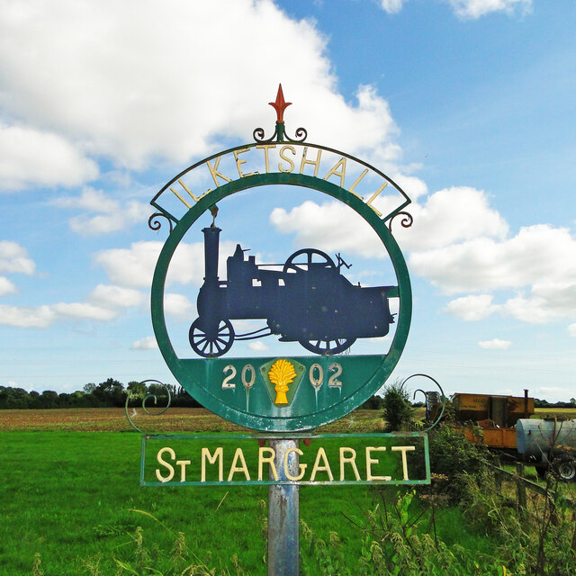
Ilketshall St Margaret
Ilketshall St Margaret is a village and civil parish in the north of the English county of Suffolk. It is 3 miles (4.8 km) south of the market town of...

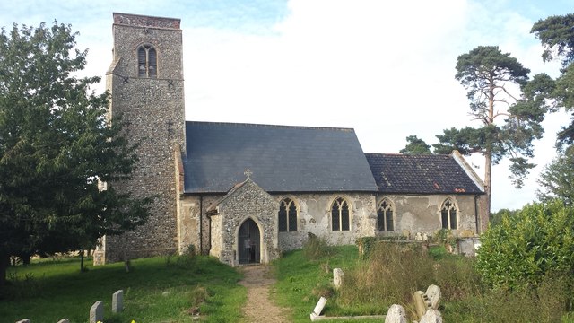
Ilketshall St John
Ilketshall St John is a village and civil parish in the East Suffolk district of the English county of Suffolk. It is 2 miles (3.2 km) south-east of the...
Related Videos

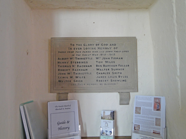
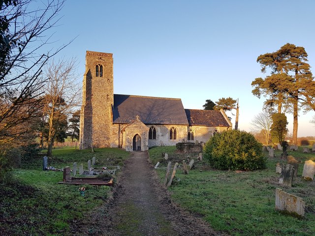
Ilketshall St. Andrew Church
A walk around the delightful church of St. Andrew Ilketshall, Suffolk.
Nearby Amenities
Located within 500m of 52.415313,1.4875382Have you been to Ant Hill Plantation?
Leave your review of Ant Hill Plantation below (or comments, questions and feedback).