Garden Spinney
Wood, Forest in Suffolk East Suffolk
England
Garden Spinney
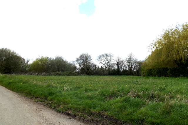
Garden Spinney is a charming woodland located in Suffolk, England. Spanning over a vast area, this natural paradise is a haven for nature enthusiasts and offers a serene escape from the hustle and bustle of city life. The woodland is nestled within the picturesque Suffolk countryside, known for its rolling hills and lush greenery.
As its name suggests, Garden Spinney is predominantly comprised of a variety of trees, making it a true forest experience. The dense foliage consists of a mix of deciduous and evergreen trees, including oak, beech, pine, and birch. This diverse ecosystem provides a habitat for a wide range of wildlife, such as birds, squirrels, and deer, making it a popular spot for birdwatchers and animal lovers. The forest floor is adorned with a carpet of wildflowers during the spring and summer months, adding bursts of color to the already scenic landscape.
Visitors to Garden Spinney can explore its many trails and footpaths, which meander through the woods and offer stunning views of the surrounding countryside. The peaceful atmosphere and tranquil setting make it an ideal location for walking, hiking, or simply enjoying a picnic amidst nature. The woodland is also home to a small stream, adding to the enchanting ambiance of the place.
Garden Spinney is situated in close proximity to several nearby villages, allowing visitors to easily access amenities and accommodation options. Whether seeking a peaceful retreat or a place to immerse oneself in nature, Garden Spinney in Suffolk is a delightful destination that offers an unforgettable experience of the English countryside.
If you have any feedback on the listing, please let us know in the comments section below.
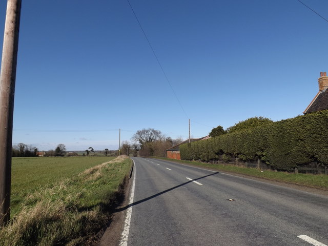
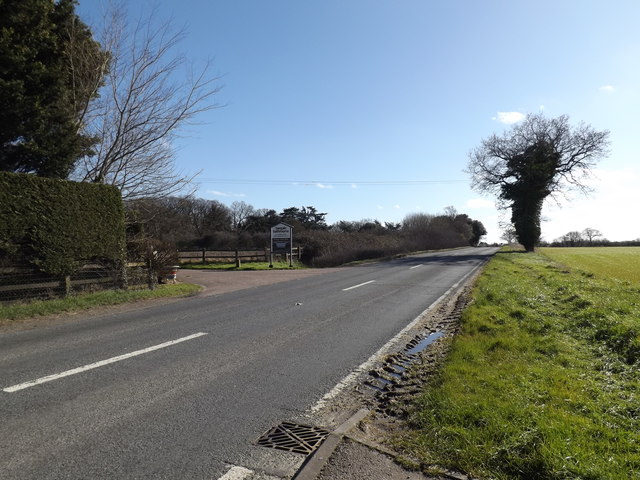
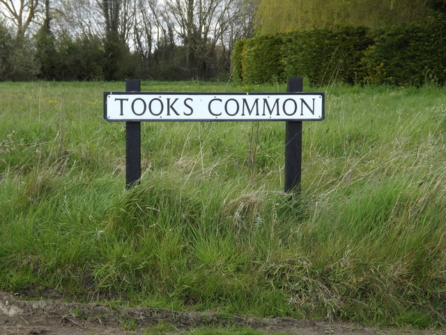
Garden Spinney Images
Images are sourced within 2km of 52.419413/1.4878914 or Grid Reference TM3785. Thanks to Geograph Open Source API. All images are credited.


Garden Spinney is located at Grid Ref: TM3785 (Lat: 52.419413, Lng: 1.4878914)
Administrative County: Suffolk
District: East Suffolk
Police Authority: Suffolk
What 3 Words
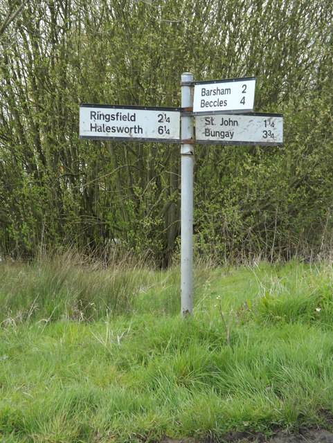
///joystick.dashes.products. Near Bungay, Suffolk
Nearby Locations
Related Wikis

Ilketshall St Andrew
Ilketshall St Andrew is a village and civil parish in the north of the English county of Suffolk. It is 3 miles (4.8 km) south-east of Bungay and the same...

The Saints, Suffolk
The Saints are a group of villages in the north of the English county of Suffolk, between the rivers Blyth and Waveney near to the border with Norfolk...
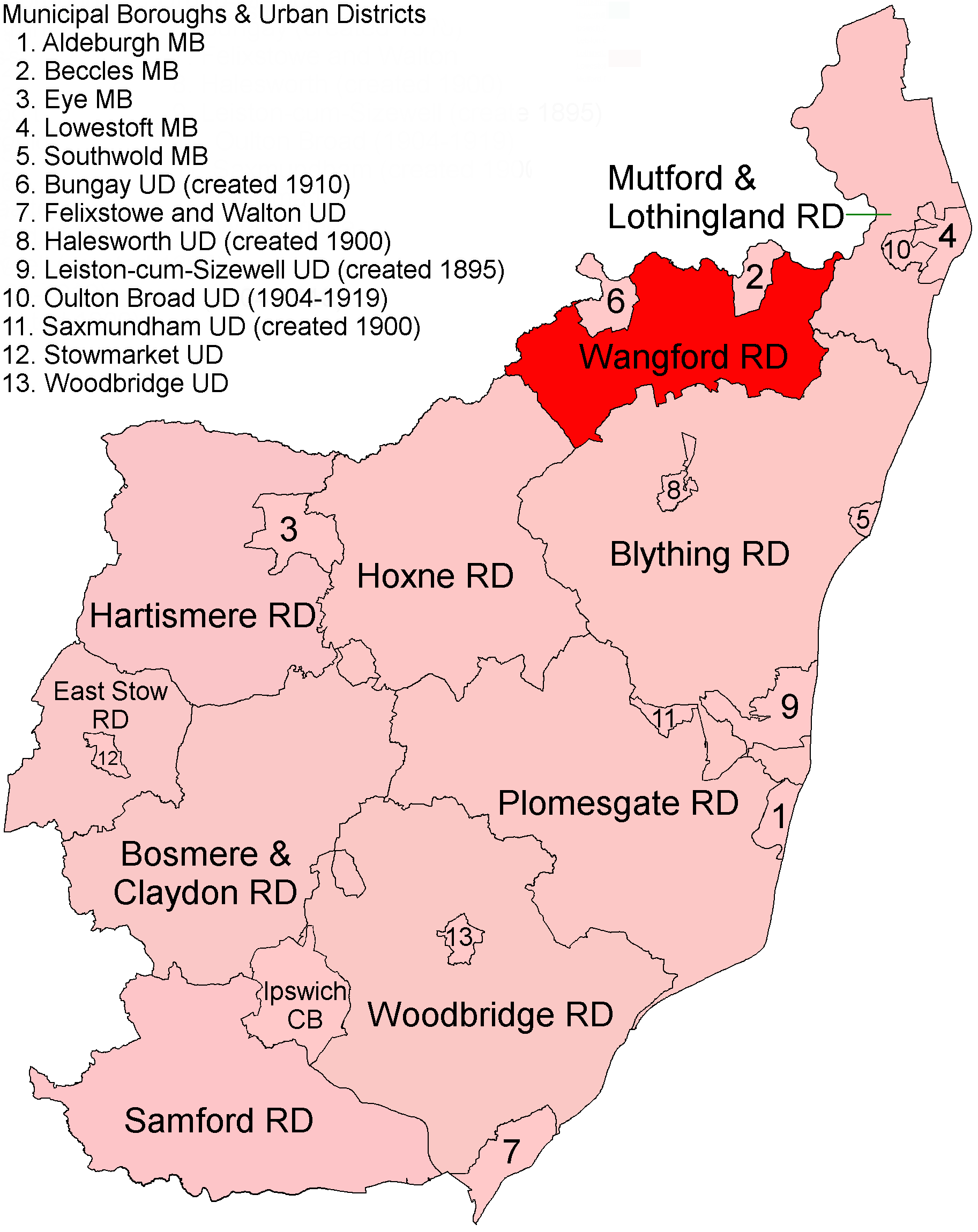
Wangford Rural District
Wangford Rural District was a rural district within the administrative county of East Suffolk between 1894 and 1934. It was created out of the earlier...

Wainford Rural District
Wainford Rural District was a rural district in East Suffolk, England, between 1934 and 1974. It was created by a merger of the disbanded Wangford Rural...
Nearby Amenities
Located within 500m of 52.419413,1.4878914Have you been to Garden Spinney?
Leave your review of Garden Spinney below (or comments, questions and feedback).