Black's Covert

Wood, Forest in Suffolk East Suffolk

England

Black's Covert

Church of St. Andrew, Ilketshall St. Andrew <span class="nowrap"><a title="https://historicengland.org.uk/listing/the-list/list-entry/1032019?section=official-list-entry" rel="nofollow ugc noopener" href="https://historicengland.org.uk/listing/the-list/list-entry/1032019?section=official-list-entry">Link</a><img style="margin-left:2px;" alt="External link" title="External link - shift click to open in new window" src="https://s1.geograph.org.uk/img/external.png" width="10" height="10"/></span>
Church of St. Andrew, Ilketshall St. Andrew Credit: Sandy Gerrard

Black's Covert is a picturesque woodland located in Suffolk, England, known for its stunning natural beauty and diverse ecosystem. Covering an area of approximately 100 acres, this woodland is a haven for nature enthusiasts and outdoor adventurers alike.

The woodland is characterized by its dense canopy of towering oak and beech trees, which create a cool and shaded environment even during the hottest summer months. These ancient trees provide a habitat for a wide variety of bird species, including woodpeckers, owls, and warblers, making it a paradise for birdwatchers.

Black's Covert is also home to a rich array of flora and fauna. The forest floor is carpeted with a vibrant tapestry of wildflowers, including bluebells and primroses, which bloom in abundance during the spring months. Squirrels, foxes, and rabbits can often be spotted darting between the trees, while lucky visitors may even catch a glimpse of the elusive roe deer or badger.

The woodland offers numerous walking trails, providing an opportunity for visitors to explore and immerse themselves in its natural splendor. These trails are well-maintained and suitable for all levels of fitness, ensuring that everyone can enjoy the beauty of Black's Covert.

Overall, Black's Covert is a truly enchanting woodland that showcases the best of Suffolk's natural landscapes. Whether it is birdwatching, photography, or simply enjoying a peaceful stroll, visitors to this woodland will be captivated by its tranquility and timeless beauty.

If you have any feedback on the listing, please let us know in the comments section below.

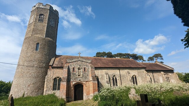
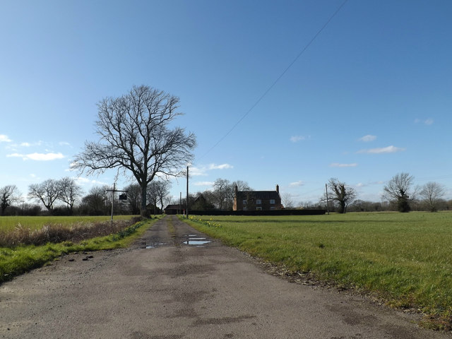
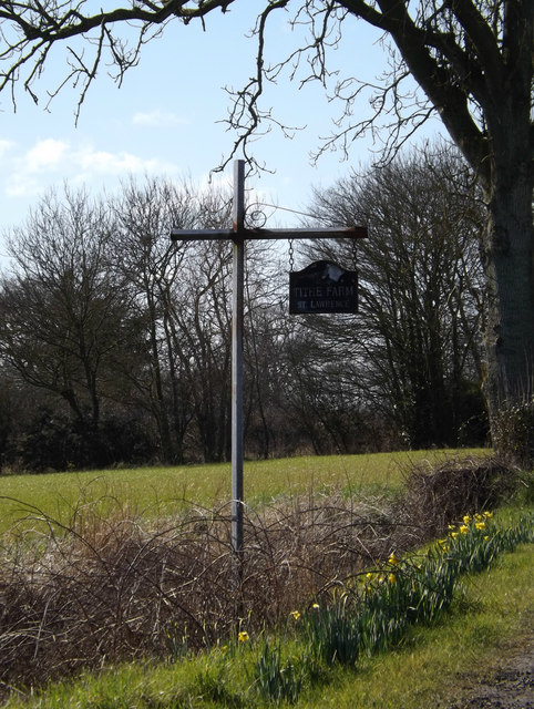
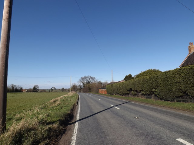
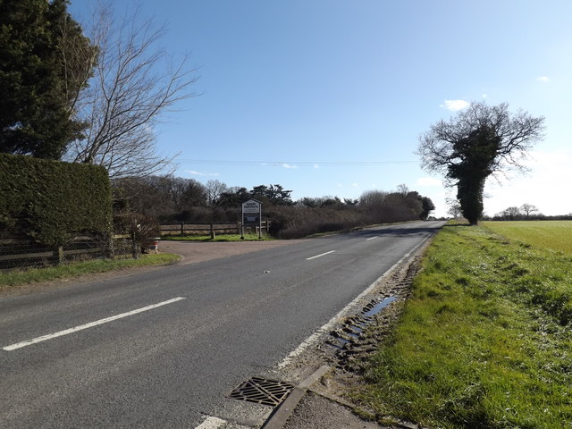
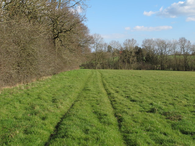
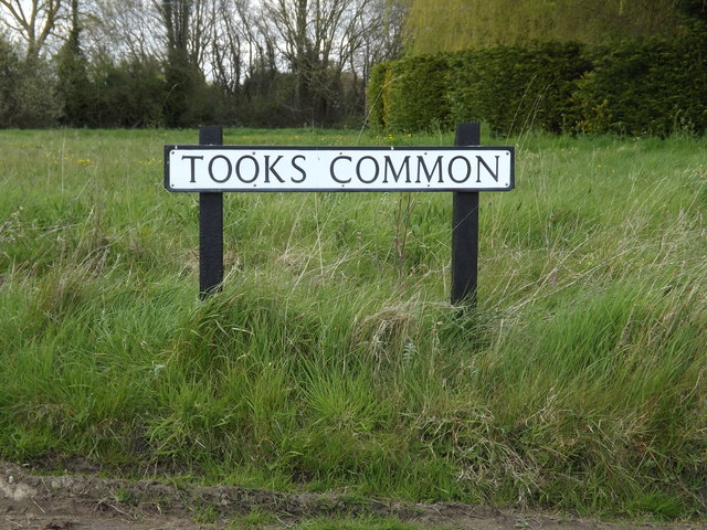
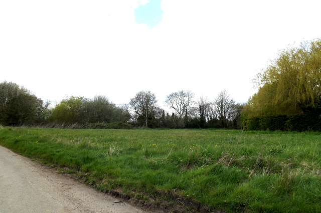
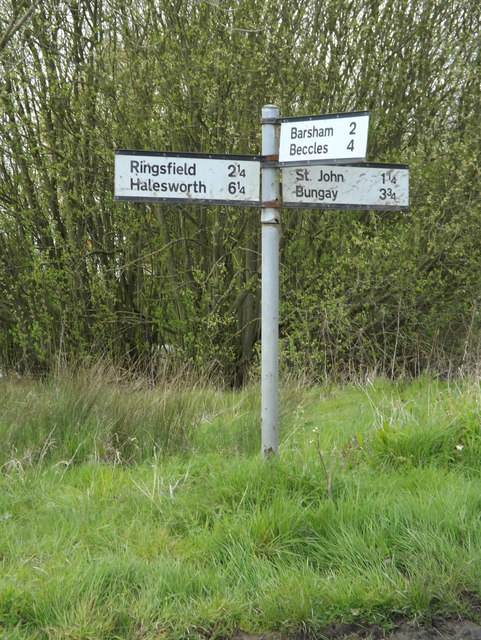
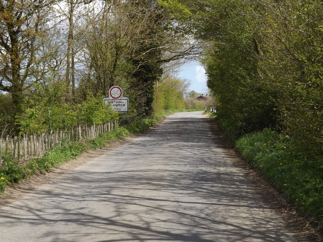
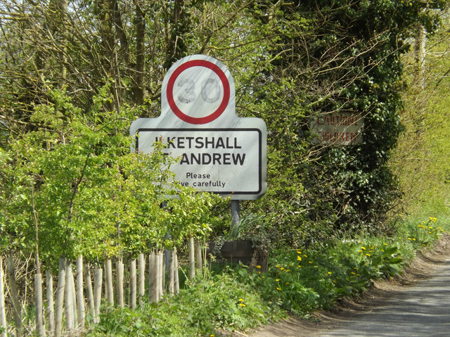
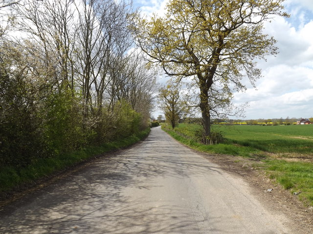
Black's Covert Images

Images are sourced within 2km of 52.415801/1.4944755 or Grid Reference TM3785. Thanks to Geograph Open Source API. All images are credited.

Church of St. Andrew, Ilketshall St. Andrew <span class="nowrap"><a title="https://historicengland.org.uk/listing/the-list/list-entry/1032019?section=official-list-entry" rel="nofollow ugc noopener" href="https://historicengland.org.uk/listing/the-list/list-entry/1032019?section=official-list-entry">Link</a><img style="margin-left:2px;" alt="External link" title="External link - shift click to open in new window" src="https://s1.geograph.org.uk/img/external.png" width="10" height="10"/></span>
Church of St. Andrew, Ilketshall St. Andrew
Entrance to Tithe Farm Off the A144 Halesworth Road
Entrance to Tithe Farm
Off the A144 Halesworth Road
Tithe Farm sign At the entrance to Tithe Farm off the A144 Halesworth Road
Tithe Farm sign
At the entrance to Tithe Farm off the A144 Halesworth Road
A144 Halesworth Road, Ilketshall St.Lawrence At the entrance to Tithe Farm
A144 Halesworth Road, Ilketshall St.Lawrence
At the entrance to Tithe Farm
A144 Halesworth Road, Ilketshall St.Lawrence At the entrance to Tithe Farm
A144 Halesworth Road, Ilketshall St.Lawrence
At the entrance to Tithe Farm
Footpath along Great Wood, Redisham
Banters Lane at Tooks Common
Tooks Common sign On Banters Lane
Tooks Common sign
On Banters Lane
Tooks Common, Ilketshall St Andrew Off Banters Lane
Tooks Common, Ilketshall St Andrew
Off Banters Lane
Banters Lane, Ilketshall St.Lawrence At the junction with Tooks Common Lane & Chapel Road
Banters Lane, Ilketshall St.Lawrence
At the junction with Tooks Common Lane & Chapel Road
Roadsign on Tooks Common Lane At the junction with Banters Lane & Chapel Road at Tooks Common
Roadsign on Tooks Common Lane
At the junction with Banters Lane & Chapel Road at Tooks Common
Chapel Road, Ilketshall St.Lawrence At the junction with Tooks Common and Banters Lanes at Tooks Common
Chapel Road, Ilketshall St.Lawrence
At the junction with Tooks Common and Banters Lanes at Tooks Common
Pond off Tooks Common Lane At the junction with School & Chapel Roads & Banters Lane at Tooks Common
Pond off Tooks Common Lane
At the junction with School & Chapel Roads & Banters Lane at Tooks Common
Entering Ilketshall St Andrew on Top Road <span class="nowrap"><a title="https://en.wikipedia.org/wiki/St_Andrew,_Ilketshall" rel="nofollow ugc noopener" href="https://en.wikipedia.org/wiki/St_Andrew,_Ilketshall">Link</a><img style="margin-left:2px;" alt="External link" title="External link - shift click to open in new window" src="https://s1.geograph.org.uk/img/external.png" width="10" height="10"/></span>
Entering Ilketshall St Andrew on Top Road
Ilketshall St Andrew Village Name sign on Top Road <span class="nowrap"><a title="https://en.wikipedia.org/wiki/St_Andrew,_Ilketshall" rel="nofollow ugc noopener" href="https://en.wikipedia.org/wiki/St_Andrew,_Ilketshall">Link</a><img style="margin-left:2px;" alt="External link" title="External link - shift click to open in new window" src="https://s1.geograph.org.uk/img/external.png" width="10" height="10"/></span>
Ilketshall St Andrew Village Name sign on Top Road
Top Road, Ilketshall St.Andrew Near Ilketshall St Andrew Village Name sign
Top Road, Ilketshall St.Andrew
Near Ilketshall St Andrew Village Name sign
Roadsign on Tooks Common Lane At the junction with Banters Lane at Tooks Common
Roadsign on Tooks Common Lane
At the junction with Banters Lane at Tooks Common
Ilketshall St. Andrew War Memorial The Memorial bears the names of fourteen men lost in the Great War.
Their details can be seen here: <span class="nowrap"><a title="http://media.geograph.org.uk/files/fe9fc289c3ff0af142b6d3bead98a923/ILKETSHALL_ST_ANDREW_War_Memorial.pdf" rel="nofollow ugc noopener" href="http://media.geograph.org.uk/files/fe9fc289c3ff0af142b6d3bead98a923/ILKETSHALL_ST_ANDREW_War_Memorial.pdf">Link</a><img style="margin-left:2px;" alt="External link" title="External link - shift click to open in new window" src="https://s1.geograph.org.uk/img/external.png" width="10" height="10"/></span>
Ilketshall St. Andrew War Memorial
The Memorial bears the names of fourteen men lost in the Great War. Their details can be seen here: LinkExternal link
Show me another place!

Black's Covert is located at Grid Ref: TM3785 (Lat: 52.415801, Lng: 1.4944755)

Administrative County: Suffolk

District: East Suffolk

Police Authority: Suffolk

What 3 Words

///tailwind.allowable.throwaway. Near Bungay, Suffolk

Related Wikis

Ilketshall St Lawrence

Ilketshall St Lawrence is a village and civil parish in the East Suffolk district of the English county of Suffolk. It is 3 miles (4.8 km) south-east of...

Ilketshall St Andrew

Ilketshall St Andrew is a village and civil parish in the north of the English county of Suffolk. It is 3 miles (4.8 km) south-east of Bungay and the same...

The Saints, Suffolk

The Saints are a group of villages in the north of the English county of Suffolk, between the rivers Blyth and Waveney near to the border with Norfolk...

Waveney (UK Parliament constituency)

Waveney is a constituency represented in the House of Commons of the UK Parliament since 2010 by Peter Aldous, a Conservative. It returns one Member of...

Nearby Amenities

Located within 500m of 52.415801,1.4944755
Power: tower
Lat/Long: 52.4162543/1.4997136
Power: tower
Lat/Long: 52.4135004/1.4918636
Power: tower
Lat/Long: 52.4149401/1.4959286
The data included in this document is from www.openstreetmap.org. The data is made available under ODbL.

Have you been to Black's Covert?

Leave your review of Black's Covert below (or comments, questions and feedback).