St. Leonards and St. Ives

Civil Parish in Hampshire East Dorset

England

St. Leonards and St. Ives

St Leonards and St Ives : The A31 Heading along the A31 through Dorset.
St Leonards and St Ives : The A31 Credit: Lewis Clarke

St. Leonards and St. Ives is a civil parish located in the county of Hampshire, England. The parish is situated approximately 5 miles northwest of Ringwood and covers an area of approximately 7.5 square miles.

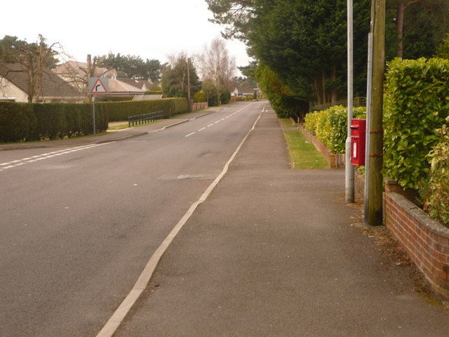
St. Leonards and St. Ives is a predominantly rural area with a population of around 1,500 residents. The parish is known for its picturesque countryside and charming villages, offering a peaceful and tranquil environment for its inhabitants.

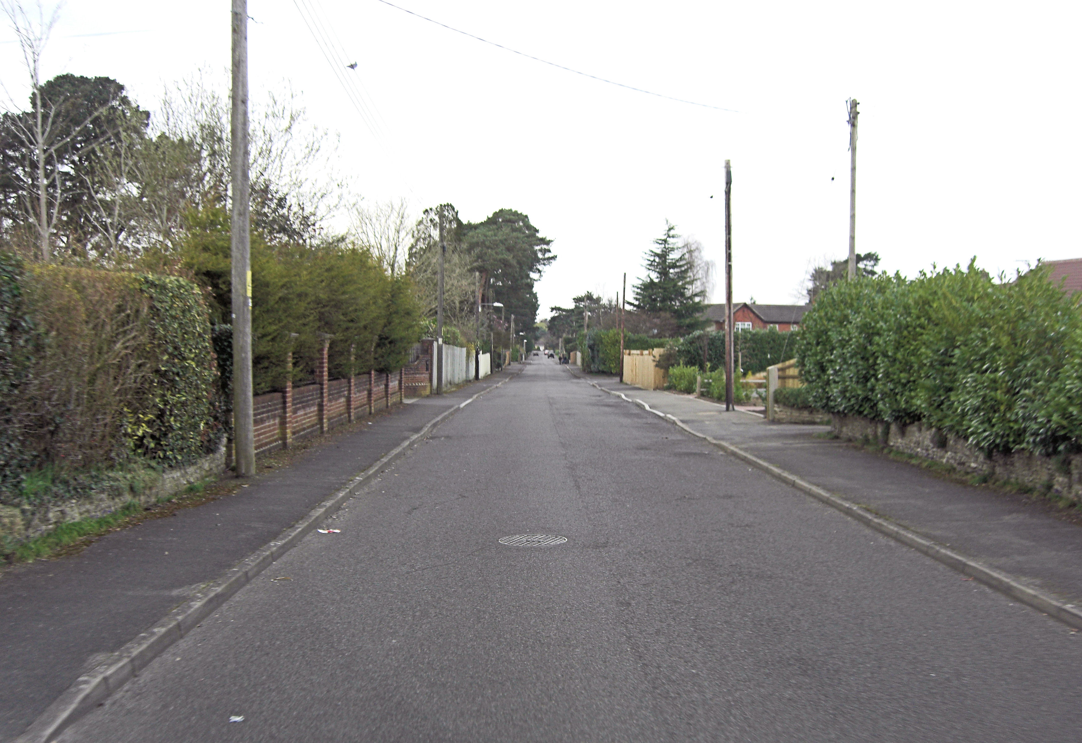
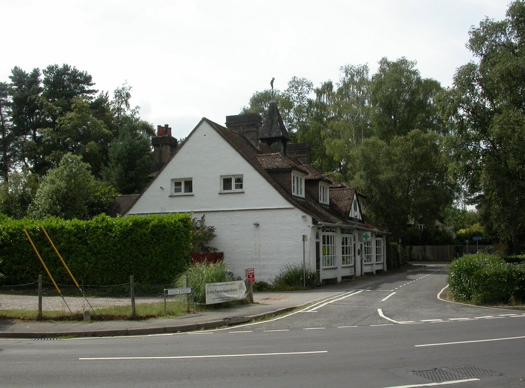
The villages of St. Leonards and St. Ives are the main settlements within the parish. St. Leonards is a small village with a quaint and traditional atmosphere. It features a village green, a historic church, and a handful of local amenities including a village hall and a pub. St. Ives, on the other hand, is slightly larger and offers a wider range of services, including a primary school, a post office, and a few local shops.

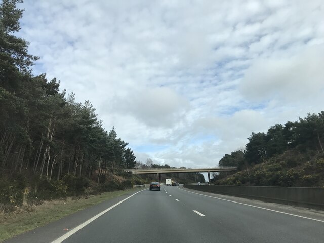
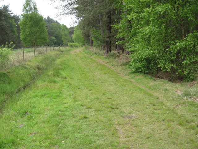
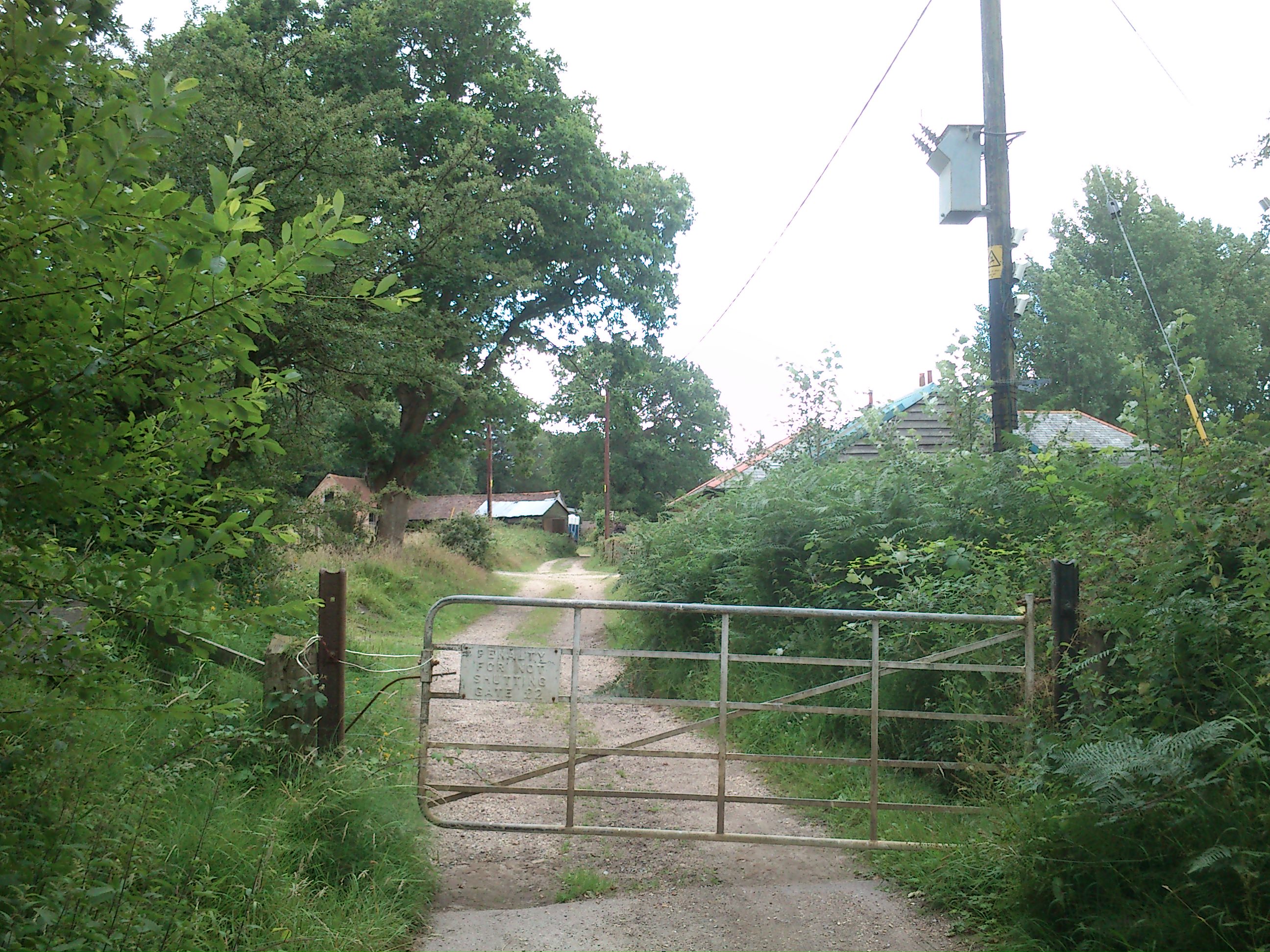
The parish is surrounded by beautiful natural landscapes, including lush green fields, woods, and heathlands, making it an ideal location for outdoor enthusiasts. The area is popular for walking, cycling, and horse riding, with several scenic trails and routes available.

Overall, St. Leonards and St. Ives in Hampshire is a charming and idyllic civil parish, offering a peaceful rural lifestyle and a close-knit community for its residents.

If you have any feedback on the listing, please let us know in the comments section below.

St. Leonards and St. Ives Images

Images are sourced within 2km of 50.829327/-1.829438 or Grid Reference SU1203. Thanks to Geograph Open Source API. All images are credited.

St Leonards and St Ives : The A31 Heading along the A31 through Dorset.
St Leonards and St Ives : The A31
Heading along the A31 through Dorset.
St Leonards : BP Petrol Station A petrol station off the A31.
St Leonards : BP Petrol Station
A petrol station off the A31.
Track at Lions Hill A private road into Lions Hill nature reserve. The heathland on either side is access land.
Track at Lions Hill
A private road into Lions Hill nature reserve. The heathland on either side is access land.
Path at the entrance to Lions Hill The nature reserve information board can be seen just inside the gate.
Path at the entrance to Lions Hill
The nature reserve information board can be seen just inside the gate.
Gate into Lions Hill Kissing gate beside the former railway trackbed leading into the nature reserve at Lions Hill.
Gate into Lions Hill
Kissing gate beside the former railway trackbed leading into the nature reserve at Lions Hill.
Bridge over A338 northbound
Signage on A338 northbound
Northbound A338, Hurn Road Bridge The A338 is a major trunk road that runs from the junction with the A35 at Poole to the junction with the A420 at Besselsleigh in Oxfordshire, a distance of 84 miles (135 km).  The section from the A31 to Poole is dual carriageway; the A338 and A31 together form a major route into the tourist area of Poole, Bournemouth and Christchurch.
Northbound A338, Hurn Road Bridge
The A338 is a major trunk road that runs from the junction with the A35 at Poole to the junction with the A420 at Besselsleigh in Oxfordshire, a distance of 84 miles (135 km). The section from the A31 to Poole is dual carriageway; the A338 and A31 together form a major route into the tourist area of Poole, Bournemouth and Christchurch.
A338 Approaching the Junction with the A31 The A338 is a major trunk road that runs from the junction with the A35 at Poole to the junction with the A420 at Besselsleigh in Oxfordshire, a distance of 84 miles (135 km).  The section from the A31 to Poole is dual carriageway; the A338 and A31 together form a major route into the tourist area of Poole, Bournemouth and Christchurch.
A338 Approaching the Junction with the A31
The A338 is a major trunk road that runs from the junction with the A35 at Poole to the junction with the A420 at Besselsleigh in Oxfordshire, a distance of 84 miles (135 km). The section from the A31 to Poole is dual carriageway; the A338 and A31 together form a major route into the tourist area of Poole, Bournemouth and Christchurch.
Old Milestone, Horton Road, St Ives Carved stone post by the UC road, in parish of ST LEONARDS AND ST IVES (EAST DORSET District), St Ives; 120m East of entrance road to St Ives Park, on the verge, on South side of road. Dorset 3 (limestone), probably erected by the Romsey & Ringwood Turnpike Trust in the 19th century. 

Inscription reads:-
RINGWOOD
1
HORTON
INN
8

Milestone Society National ID: HA_RIHN02.
Old Milestone, Horton Road, St Ives
Carved stone post by the UC road, in parish of ST LEONARDS AND ST IVES (EAST DORSET District), St Ives; 120m East of entrance road to St Ives Park, on the verge, on South side of road. Dorset 3 (limestone), probably erected by the Romsey & Ringwood Turnpike Trust in the 19th century. Inscription reads:- RINGWOOD 1 HORTON INN 8 Milestone Society National ID: HA_RIHN02.
Path along edge of Ashley Heath Forest
Path in Ashley Heath Forest
The Little Chef on the A31, St Leonards
The A31, St Leonards
Roundabout on the A31, St Leonards
The Boundary Lane Roundabout, St Leonards
Brocks Pine Roundabout on the A31, St Leonards
Show me another place!

St. Leonards and St. Ives is located at Grid Ref: SU1203 (Lat: 50.829327, Lng: -1.829438)

Administrative County: Dorset

District: East Dorset

Police Authority: Dorset

What 3 Words

///satellite.magpie.tight. Near St Leonards, Dorset

Related Wikis

St Leonards, Dorset

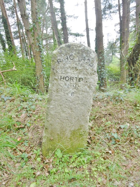
St Leonards is a village in south east Dorset, England, situated on the A31 road approximately 2.5 miles (4.0 km) south-west of Ringwood, Hampshire, 8...

St Ives, Dorset

St Ives is a village in the county of Dorset in the south of England. It lies close to the border between Dorset and Hampshire, near Ringwood, Verwood...

Avon Heath Country Park

Avon Heath Country Park is a Green Flag–awarded park located in St Leonards, Dorset, approx 10 miles north of Bournemouth. The park is dominated by acres...

St Leonards and St Ives

St Leonards and St Ives is a civil parish in Dorset, England. The parish contains the settlements of Ashley Heath, St Ives and St Leonards, which have...

Ashley Heath

Ashley Heath is a village in Dorset, England, adjacent to the villages of St Leonards and St Ives, with which it forms the civil parish of St Leonards...

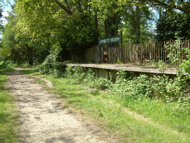
Ashley Heath Halt railway station

Ashley Heath Halt was a railway station in England on the Southampton and Dorchester Railway formerly in the county of Hampshire (now part of Dorset)....

Avon Lodge railway station

Avon Lodge was a private untimetabled railway station in the county of Hampshire (now Dorset), opened on 13 November 1862 by the Ringwood, Christchurch...

Lions Hill

Lions Hill (grid reference SU106040) is a 42.9 hectare biological Site of Special Scientific Interest in Dorset, notified in 1985. == External links... ==

Nearby Amenities

Located within 500m of 50.829327,-1.829438
Turning Circle
Lat/Long: 50.8315161/-1.8347472
Barrier: bollard
Lat/Long: 50.8249962/-1.8300615
Barrier: bollard
Lat/Long: 50.8249455/-1.8300369
Barrier: bollard
Lat/Long: 50.8249715/-1.8300495
Barrier: bollard
Lat/Long: 50.8249849/-1.830056
Barrier: bollard
Lat/Long: 50.8249585/-1.8300432
Barrier: bollard
Lat/Long: 50.8249358/-1.8300322
Barrier: bollard
Lat/Long: 50.8249278/-1.8300282
Barrier: bollard
Lat/Long: 50.824916/-1.8300225
Barrier: bollard
Lat/Long: 50.8250629/-1.8300268
Barrier: bollard
Lat/Long: 50.8251072/-1.8300476
Barrier: bollard
Lat/Long: 50.8251233/-1.8300551
Barrier: bollard
Bollard: fixed
Lat/Long: 50.8251027/-1.8301127
Barrier: bollard
Lat/Long: 50.825191/-1.8299648
Barrier: bollard
Lat/Long: 50.8251963/-1.8299431
Barrier: bollard
Lat/Long: 50.8252034/-1.8299214
Barrier: bollard
Lat/Long: 50.8252132/-1.8298987
Barrier: bollard
Lat/Long: 50.8252224/-1.8298739
Covered: yes
Leisure: picnic_table
Lat/Long: 50.8251991/-1.8293884
Covered: no
Leisure: picnic_table
Lat/Long: 50.8251614/-1.8293488
Covered: no
Leisure: picnic_table
Lat/Long: 50.8252273/-1.8293177
Covered: no
Leisure: picnic_table
Lat/Long: 50.825188/-1.8292823
Telephone
Lat/Long: 50.8250245/-1.8300191
Vending Machine
Payment Coins: yes
Vending: parking_tickets
Lat/Long: 50.8253544/-1.8295965
Bus Stop
St Ives End Lane
Bus: yes
Naptan AtcoCode: 1200DOA91113
Naptan Bearing: SW
Naptan CommonName: St Ives End Lane
Naptan Indicator: SW-bound
Naptan NaptanCode: dordtgpw
Naptan Verified: no
Public Transport: platform
Lat/Long: 50.8328947/-1.8296582
Bus Stop
St Ives End Lane
Bus: yes
Naptan AtcoCode: 1200DOA91114
Naptan Bearing: SW
Naptan BusStopType: CUS
Naptan CommonName: St Ives End Lane
Naptan Indicator: SW-bound
Naptan NaptanCode: dordtgta
Naptan Verified: no
Public Transport: platform
Lat/Long: 50.8330336/-1.8297923
Bus Stop
All Saints Church
Bench: no
Bin: no
Bus: yes
Naptan AtcoCode: 1200DOA91112
Naptan Bearing: SW
Naptan BusStopType: CUS
Naptan CommonName: All Saints Church
Naptan Indicator: SW-bound
Naptan NaptanCode: dordtgpt
Naptan Verified: no
Public Transport: platform
Shelter: no
Tactile Paving: no
Lat/Long: 50.830794/-1.8344888
Bus Stop
All Saints Church
Bus: yes
Naptan AtcoCode: 1200WDY38461
Naptan Bearing: NE
Naptan CommonName: All Saints Church
Naptan Indicator: NE-bound
Naptan NaptanCode: dordjdga
Naptan Verified: no
Public Transport: platform
Lat/Long: 50.8308855/-1.8345398
The data included in this document is from www.openstreetmap.org. The data is made available under ODbL.

Have you been to St. Leonards and St. Ives?

Leave your review of St. Leonards and St. Ives below (or comments, questions and feedback).