Barnsfield Wood

Wood, Forest in Hampshire

England

Barnsfield Wood

St Leonards and St Ives : The A31 Heading along the A31 through Dorset.
St Leonards and St Ives : The A31 Credit: Lewis Clarke

Barnsfield Wood is a picturesque woodland located in Hampshire, England. Covering an area of approximately 25 hectares, this charming forest is known for its diverse flora and fauna as well as its tranquil atmosphere.

The wood is predominantly made up of native broadleaf trees such as oak, beech, and ash, which provide a dense canopy and create a haven for wildlife. Walking through Barnsfield Wood, visitors are greeted with a carpet of bluebells in the spring, creating a vibrant spectacle of color. In the summer, the forest is adorned with a variety of wildflowers, adding to its natural beauty.

The wood is home to a rich and diverse range of animal species. Red and roe deer can often be spotted grazing in the open glades, while squirrels scamper through the trees and birds such as woodpeckers, tawny owls, and thrushes can be heard singing their melodious tunes. The woodland floor is also teeming with small mammals like voles and shrews, creating an intricate ecosystem.

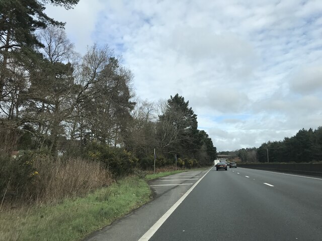
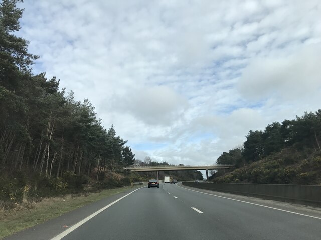
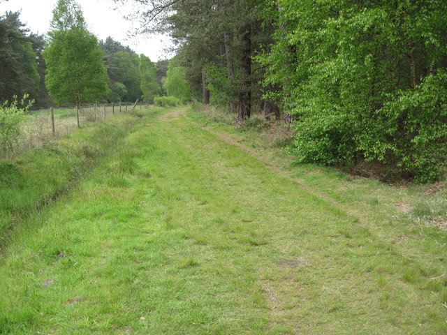
Barnsfield Wood is a popular destination for nature enthusiasts and walkers alike. It offers a network of well-maintained footpaths, allowing visitors to explore the forest and enjoy its tranquil ambiance. The wood also boasts a picnic area, providing a perfect spot for families to relax and enjoy a meal amidst nature.

Overall, Barnsfield Wood is a remarkable woodland that showcases the natural beauty of Hampshire. Its stunning flora and fauna, coupled with its peaceful setting, make it a must-visit destination for those seeking a connection with nature.

If you have any feedback on the listing, please let us know in the comments section below.

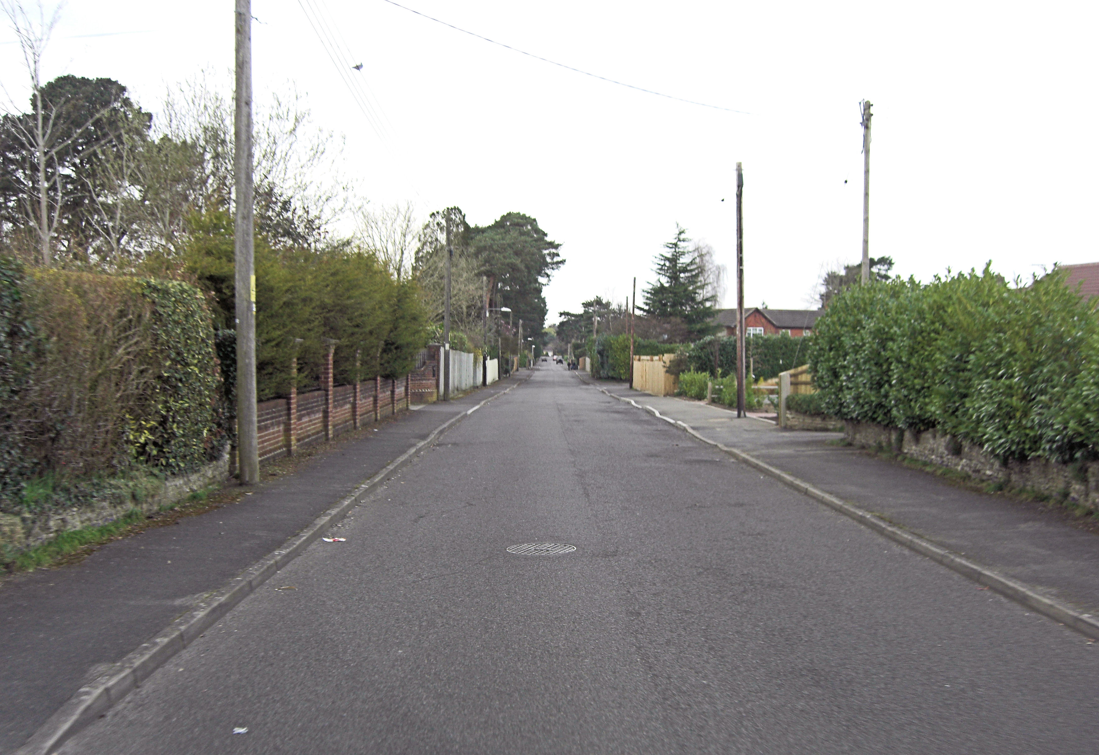
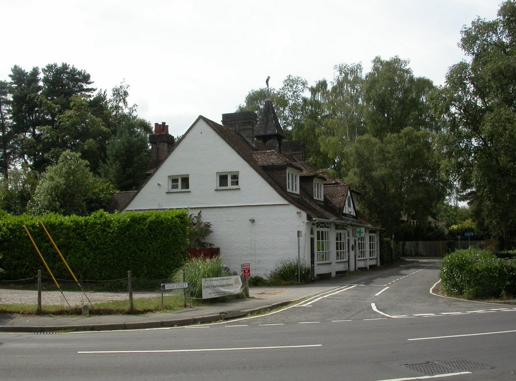
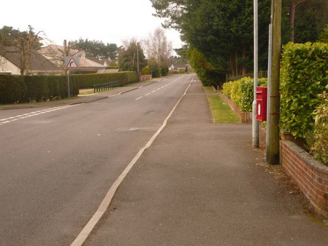
Barnsfield Wood Images

Images are sourced within 2km of 50.827732/-1.821107 or Grid Reference SU1203. Thanks to Geograph Open Source API. All images are credited.

St Leonards and St Ives : The A31 Heading along the A31 through Dorset.
St Leonards and St Ives : The A31
Heading along the A31 through Dorset.
St Leonards : BP Petrol Station A petrol station off the A31.
St Leonards : BP Petrol Station
A petrol station off the A31.
Layby on A338 northbound
Bridge over A338 northbound
Signage on A338 northbound
Northbound A338, Hurn Road Bridge The A338 is a major trunk road that runs from the junction with the A35 at Poole to the junction with the A420 at Besselsleigh in Oxfordshire, a distance of 84 miles (135 km).  The section from the A31 to Poole is dual carriageway; the A338 and A31 together form a major route into the tourist area of Poole, Bournemouth and Christchurch.
Northbound A338, Hurn Road Bridge
The A338 is a major trunk road that runs from the junction with the A35 at Poole to the junction with the A420 at Besselsleigh in Oxfordshire, a distance of 84 miles (135 km). The section from the A31 to Poole is dual carriageway; the A338 and A31 together form a major route into the tourist area of Poole, Bournemouth and Christchurch.
A338 Approaching the Junction with the A31 The A338 is a major trunk road that runs from the junction with the A35 at Poole to the junction with the A420 at Besselsleigh in Oxfordshire, a distance of 84 miles (135 km).  The section from the A31 to Poole is dual carriageway; the A338 and A31 together form a major route into the tourist area of Poole, Bournemouth and Christchurch.
A338 Approaching the Junction with the A31
The A338 is a major trunk road that runs from the junction with the A35 at Poole to the junction with the A420 at Besselsleigh in Oxfordshire, a distance of 84 miles (135 km). The section from the A31 to Poole is dual carriageway; the A338 and A31 together form a major route into the tourist area of Poole, Bournemouth and Christchurch.
Ashley, school Ringwood Waldorf School, on Folly Farm Lane: <span class="nowrap"><a title="https://ringwoodwaldorfschool.org.uk/" rel="nofollow ugc noopener" href="https://ringwoodwaldorfschool.org.uk/">Link</a><img style="margin-left:2px;" alt="External link" title="External link - shift click to open in new window" src="https://s1.geograph.org.uk/img/external.png" width="10" height="10"/></span>
Ashley, school
Ringwood Waldorf School, on Folly Farm Lane: LinkExternal link
Wattons Ford This is Wattons Ford on the River Avon. A video of the ford can be seen at:
<span class="nowrap"><a title="https://youtu.be/Ldypdb3VPvU" rel="nofollow ugc noopener" href="https://youtu.be/Ldypdb3VPvU">Link</a><img style="margin-left:2px;" alt="External link" title="External link - shift click to open in new window" src="https://s1.geograph.org.uk/img/external.png" width="10" height="10"/></span>
Wattons Ford
This is Wattons Ford on the River Avon. A video of the ford can be seen at: LinkExternal link
Old Milestone, Horton Road, St Ives Carved stone post by the UC road, in parish of ST LEONARDS AND ST IVES (EAST DORSET District), St Ives; 120m East of entrance road to St Ives Park, on the verge, on South side of road. Dorset 3 (limestone), probably erected by the Romsey & Ringwood Turnpike Trust in the 19th century. 

Inscription reads:-
RINGWOOD
1
HORTON
INN
8

Milestone Society National ID: HA_RIHN02.
Old Milestone, Horton Road, St Ives
Carved stone post by the UC road, in parish of ST LEONARDS AND ST IVES (EAST DORSET District), St Ives; 120m East of entrance road to St Ives Park, on the verge, on South side of road. Dorset 3 (limestone), probably erected by the Romsey & Ringwood Turnpike Trust in the 19th century. Inscription reads:- RINGWOOD 1 HORTON INN 8 Milestone Society National ID: HA_RIHN02.
Castleman Trailway
Castleman Trailway
Path in Ashley Heath Forest
The Little Chef on the A31, St Leonards
The A31, St Leonards
Brocks Pine Roundabout on the A31, St Leonards
A338 northbound
A338 northbound
A338 northbound The sign ahead advises that QinetiQ is in 300 yards.
A338 northbound
The sign ahead advises that QinetiQ is in 300 yards.
Old Boundary Marker by Barnsfield Wood, St Leonards and St Ives Parish Estate Boundary Marker - MOD #2 by the bridleway, in parish of St Leonards and St Ives (East Dorset District), Barnsfield Wood, next to ditch overlooking military security fence.

Surveyed

Milestone Society National ID: HA_MODHUR02em.
Old Boundary Marker by Barnsfield Wood, St Leonards and St Ives Parish
Estate Boundary Marker - MOD #2 by the bridleway, in parish of St Leonards and St Ives (East Dorset District), Barnsfield Wood, next to ditch overlooking military security fence. Surveyed Milestone Society National ID: HA_MODHUR02em.
Show me another place!

Barnsfield Wood is located at Grid Ref: SU1203 (Lat: 50.827732, Lng: -1.821107)

Unitary Authority: Dorset

Police Authority: Dorset

What 3 Words

///banquets.shining.dinner. Near St Leonards, Dorset

Related Wikis

Avon Heath Country Park

Avon Heath Country Park is a Green Flag–awarded park located in St Leonards, Dorset, approx 10 miles north of Bournemouth. The park is dominated by acres...

St Ives, Dorset

St Ives is a village in the county of Dorset in the south of England. It lies close to the border between Dorset and Hampshire, near Ringwood, Verwood...

Avon Lodge railway station

Avon Lodge was a private untimetabled railway station in the county of Hampshire (now Dorset), opened on 13 November 1862 by the Ringwood, Christchurch...

St Leonards, Dorset

St Leonards is a village in south east Dorset, England, situated on the A31 road approximately 2.5 miles (4.0 km) south-west of Ringwood, Hampshire, 8...

St Leonards and St Ives

St Leonards and St Ives is a civil parish in Dorset, England. The parish contains the settlements of Ashley Heath, St Ives and St Leonards, which have...

Ringwood Waldorf School

The Ringwood Waldorf School is a private alternative school standing on the borders of Dorset and Hampshire, with classes ranging from Kindergarten to...

Ashley Heath

Ashley Heath is a village in Dorset, England, adjacent to the villages of St Leonards and St Ives, with which it forms the civil parish of St Leonards...

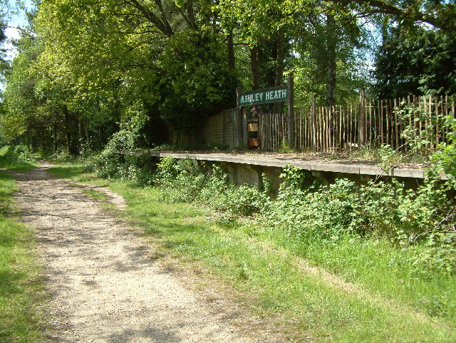
Ashley Heath Halt railway station

Ashley Heath Halt was a railway station in England on the Southampton and Dorchester Railway formerly in the county of Hampshire (now part of Dorset)....

Nearby Amenities

Located within 500m of 50.827732,-1.821107
Bench
Backrest: no
Material: wood
Lat/Long: 50.8285187/-1.8194629
Bench
Backrest: no
Material: wood
Lat/Long: 50.8285054/-1.8192954
Direction: 290
Tourism: viewpoint
Lat/Long: 50.8285129/-1.8194343
The data included in this document is from www.openstreetmap.org. The data is made available under ODbL.

Have you been to Barnsfield Wood?

Leave your review of Barnsfield Wood below (or comments, questions and feedback).