South Petherton
Civil Parish in Somerset South Somerset
England
South Petherton
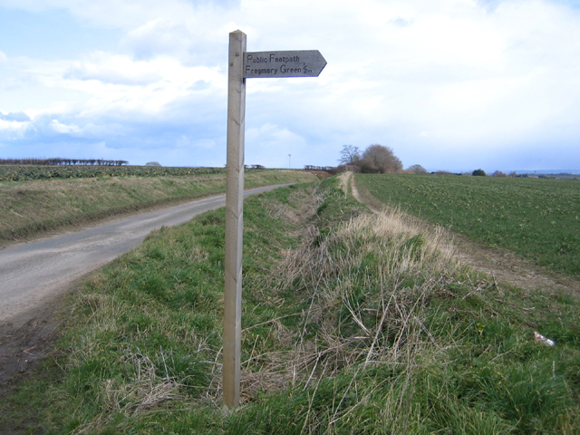
South Petherton is a civil parish located in Somerset, England. Situated approximately 9 miles east of Yeovil, it lies on the southern edge of the Somerset Levels and borders the Blackdown Hills. The parish covers an area of around 16 square miles and is home to a population of around 3,200 people.
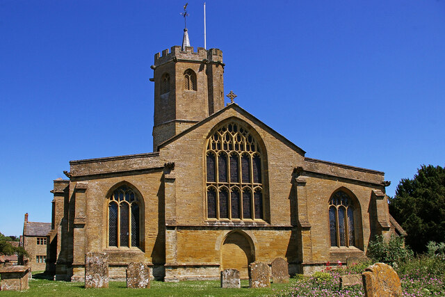
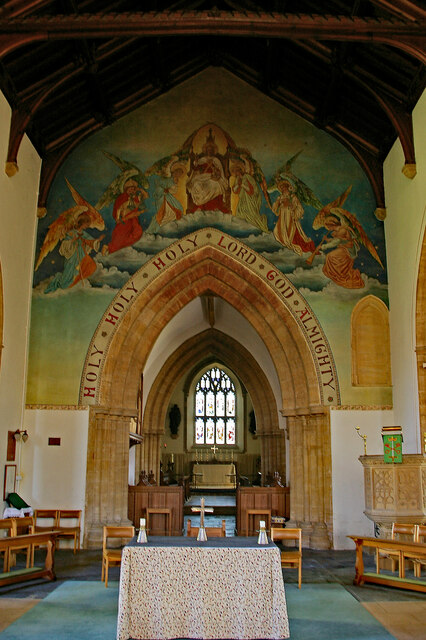
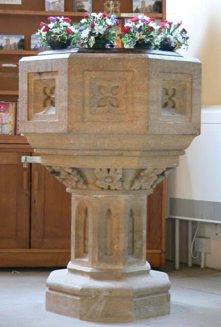
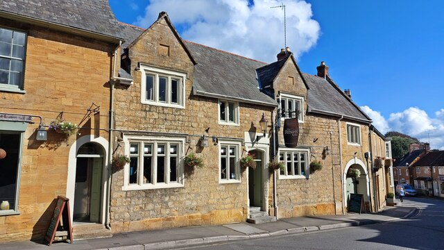
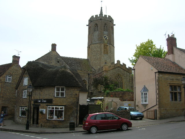
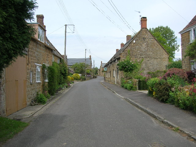
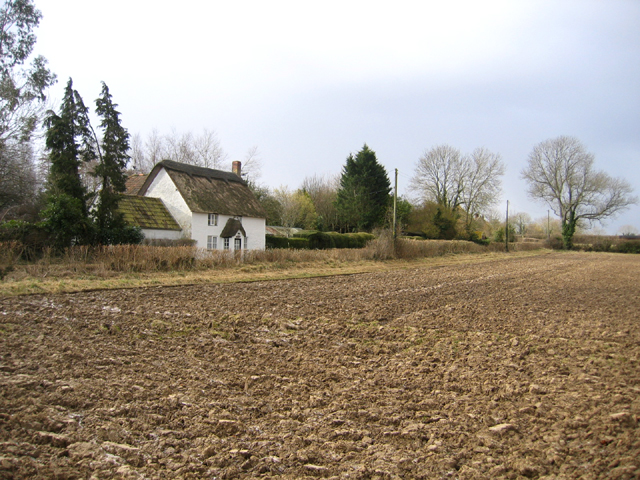
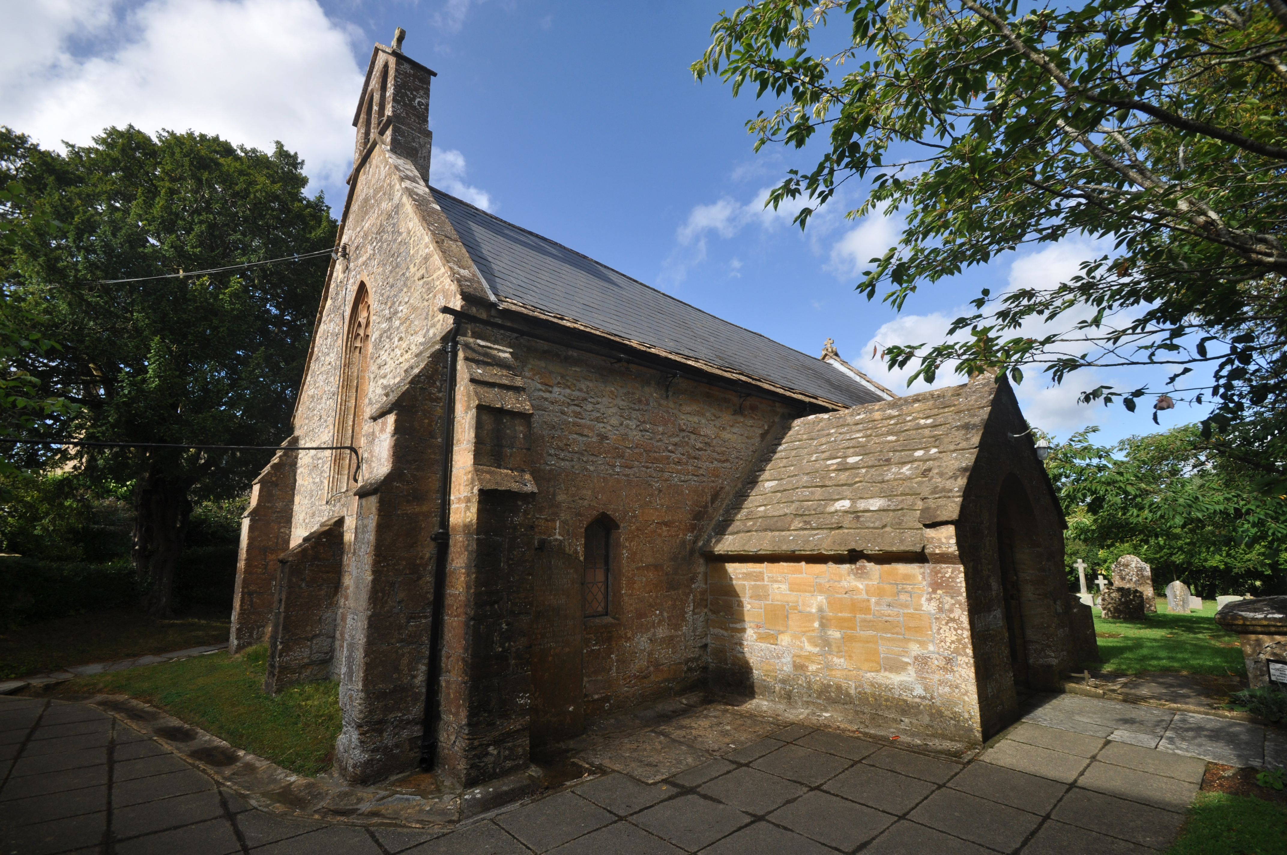
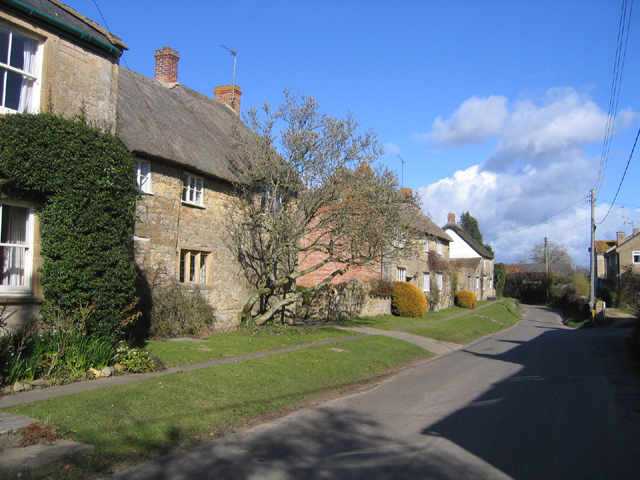
The village of South Petherton is steeped in history, with evidence of human settlement dating back to the Iron Age. It became an important market town in the medieval period, and its historic market square still serves as a focal point for the community today. The village is known for its attractive stone buildings, including the Church of St. Peter and St. Paul, which dates back to the 15th century.
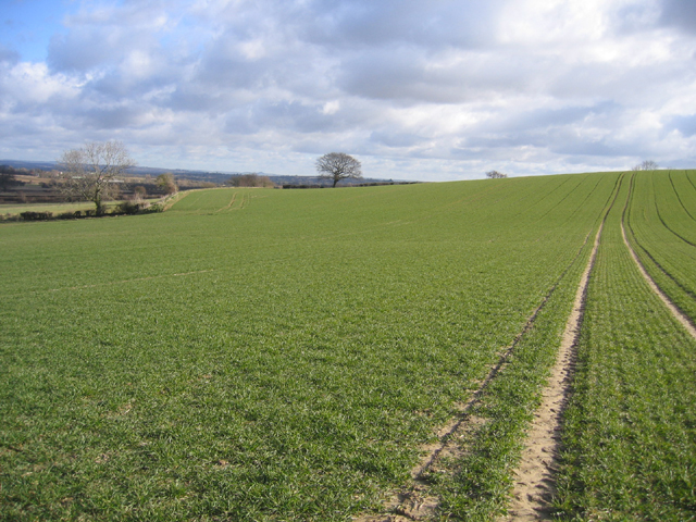
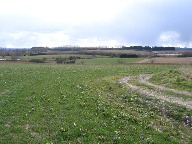
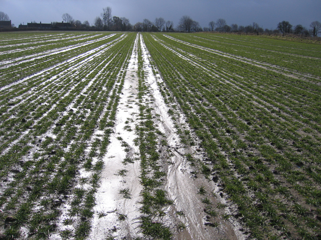
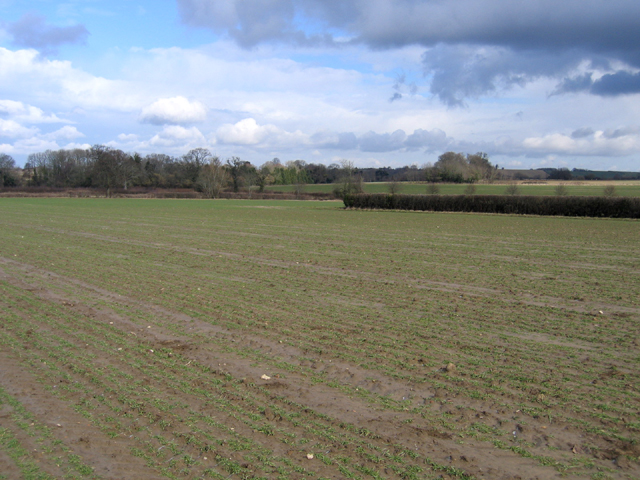
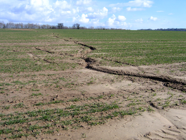
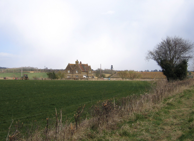
Agriculture has long been an important industry in South Petherton, and the surrounding countryside is characterized by its patchwork of fields and farmland. The village is also known for its annual harvest festival, which celebrates the agricultural heritage of the area.
South Petherton offers a range of amenities for residents and visitors alike. There are several pubs, restaurants, and shops in the village, as well as a primary school and a community library. The village also hosts various events throughout the year, including a popular summer carnival and a Christmas market.
With its picturesque setting, rich history, and close-knit community, South Petherton is a charming place to live and visit in the heart of Somerset.
If you have any feedback on the listing, please let us know in the comments section below.
South Petherton Images
Images are sourced within 2km of 50.94561/-2.806782 or Grid Reference ST4316. Thanks to Geograph Open Source API. All images are credited.

South Petherton is located at Grid Ref: ST4316 (Lat: 50.94561, Lng: -2.806782)
Administrative County: Somerset
District: South Somerset
Police Authority: Avon and Somerset
What 3 Words
///cabbage.newlywed.ruled. Near South Petherton, Somerset
Nearby Locations
Related Wikis

Church of St Peter and St Paul, South Petherton
The Church of St Peter and St Paul is the Church of England parish church for the village of South Petherton, Somerset, England. The present church is...

South Petherton
South Petherton is a large village and civil parish in the South Somerset district of Somerset, England, located 5 miles (8 km) east of Ilminster and 5...

Coke Memorial Methodist Church
Coke Memorial Methodist Church is a former Methodist church in South Petherton, Somerset, England. Designed by Alexander Lauder, it was built in 1881-82...

Over Stratton
Over Stratton is a small village in the district of South Somerset, Somerset, England. It is part of the parish of South Petherton along with the nearby...

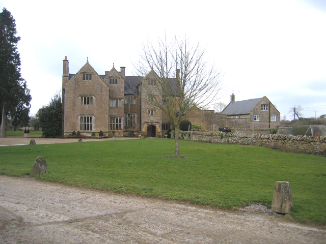
Wigborough Manor House
Wigborough Manor House is a manor house in South Petherton, Somerset, England. It was partly built in 1585, although it was never completed to the original...

Church of St James, East Lambrook
The Anglican Church of St James in East Lambrook, Kingsbury Episcopi, Somerset, England was built in the 12th century. It is a Grade II* listed building...
Church of All Saints, Lopen
The Anglican Church of All Saints in Lopen, Somerset, England was built in the 12th century. It is a Grade II* listed building. == History == The church...
Lopen
Lopen is a village and civil parish in the South Somerset district of Somerset, England, situated 8 miles (12.9 km) west of Yeovil. The village has a population...
Nearby Amenities
Located within 500m of 50.94561,-2.806782Have you been to South Petherton?
Leave your review of South Petherton below (or comments, questions and feedback).