Broadmead
Settlement in Somerset South Somerset
England
Broadmead
Broadmead is a small village located in the county of Somerset, in the southwest of England. Situated approximately 12 miles south of Bristol, the village is part of the civil parish of Wrington. With a population of around 700 residents, it offers a peaceful and rural environment.
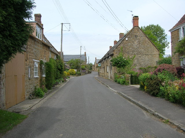
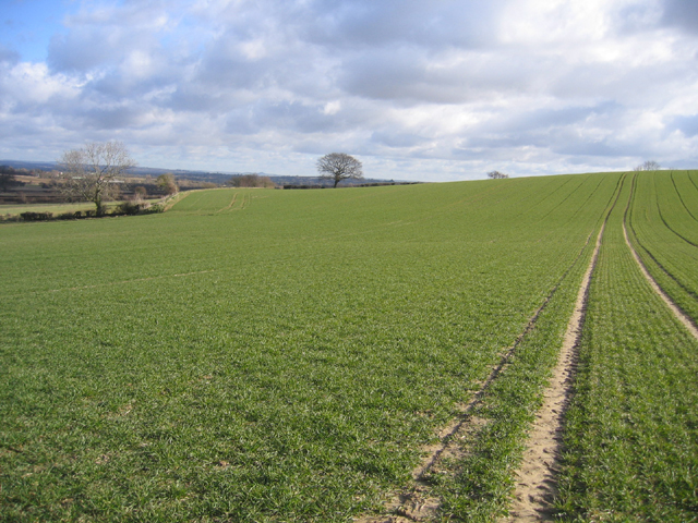
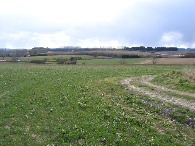
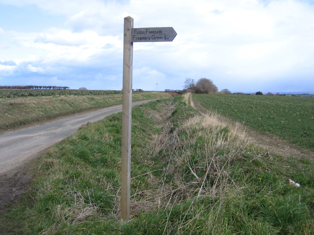
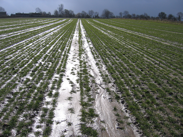
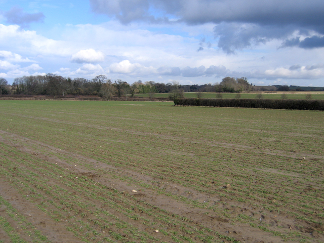
The village is surrounded by picturesque countryside, characterized by lush green fields and rolling hills, making it an ideal destination for nature lovers and outdoor enthusiasts. The nearby Mendip Hills provide ample opportunities for hiking, cycling, and exploring the great outdoors.
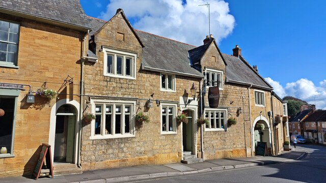
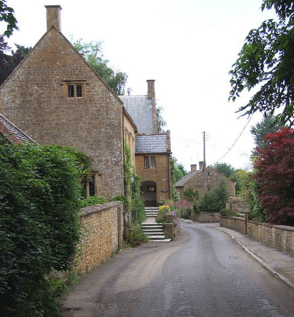
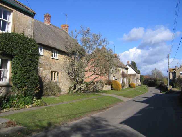
Broadmead itself has a charming and quaint atmosphere, with a mixture of traditional stone cottages and more modern houses. It possesses a sense of community spirit, with various local events and activities organized throughout the year. The village also benefits from a local pub, providing a gathering place for residents and visitors alike.
The village is conveniently located for amenities, with the larger town of Nailsea just a short drive away. Here, residents can access a wider range of shops, supermarkets, and services. Additionally, Bristol Airport is easily accessible, offering connections to various domestic and international destinations.
In conclusion, Broadmead is a picturesque village in Somerset, offering a peaceful and rural lifestyle. With its beautiful surroundings and strong sense of community, it is an attractive place to live for those seeking a quieter pace of life while still being within reach of larger towns and cities.
If you have any feedback on the listing, please let us know in the comments section below.
Broadmead Images
Images are sourced within 2km of 50.946081/-2.812262 or Grid Reference ST4316. Thanks to Geograph Open Source API. All images are credited.

Broadmead is located at Grid Ref: ST4316 (Lat: 50.946081, Lng: -2.812262)
Administrative County: Somerset
District: South Somerset
Police Authority: Avon and Somerset
What 3 Words
///rescuer.symphonic.surveyed. Near South Petherton, Somerset
Nearby Locations
Related Wikis

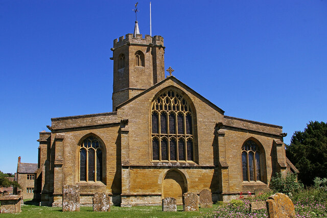
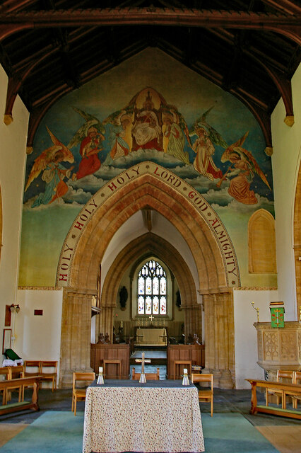
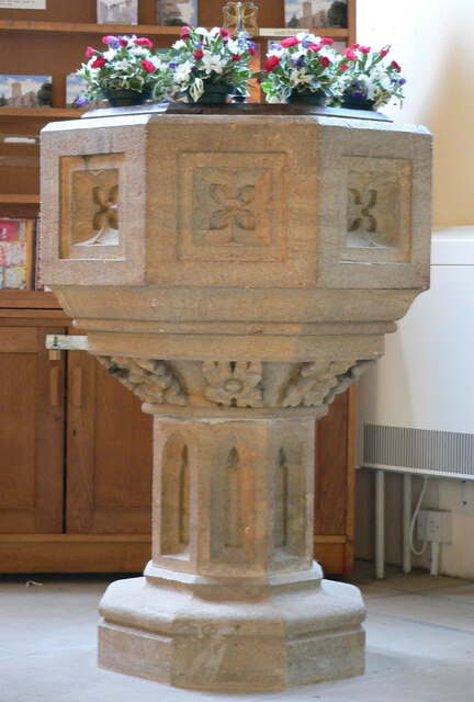
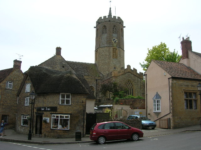
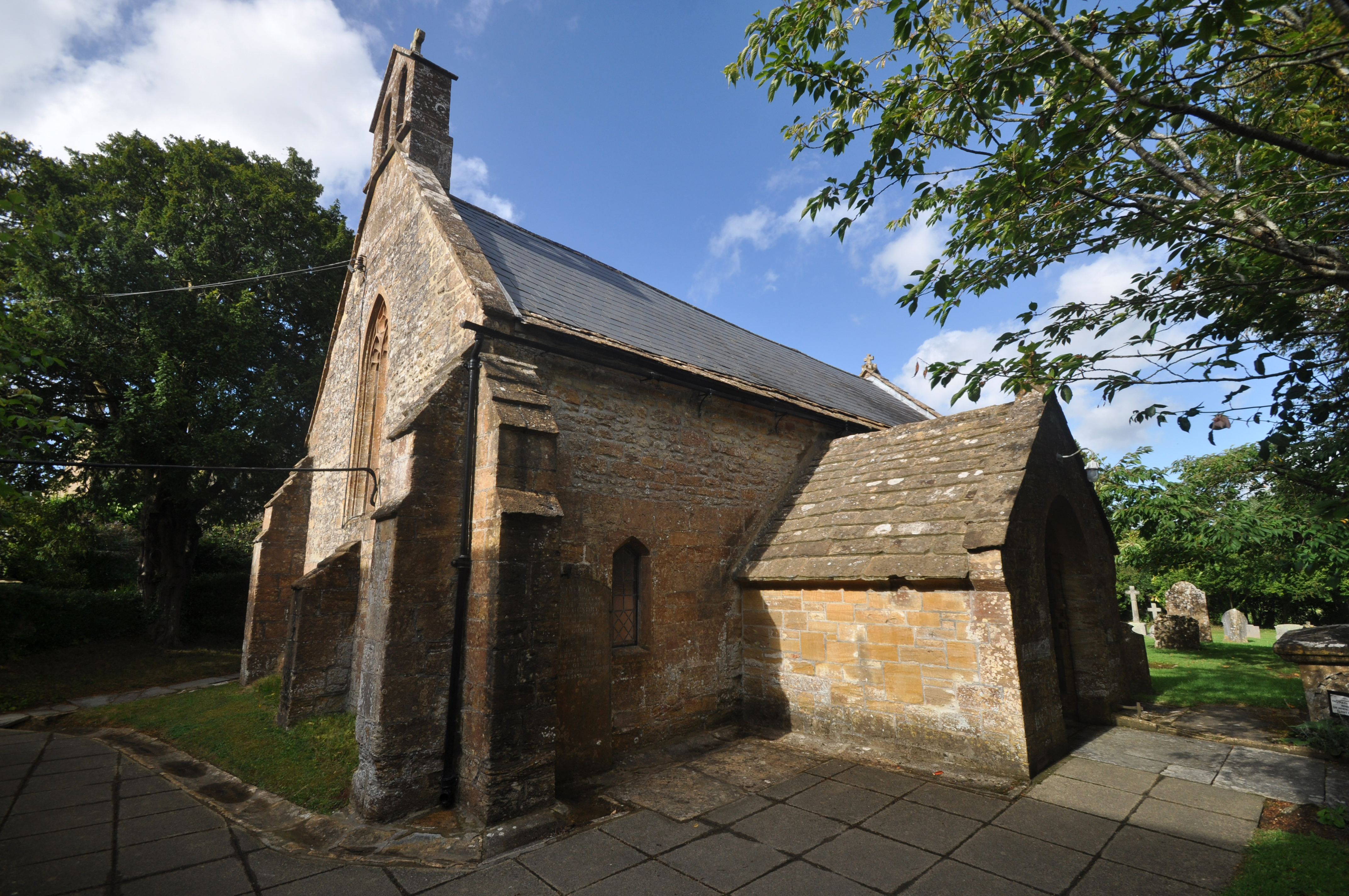
Church of St Peter and St Paul, South Petherton
The Church of St Peter and St Paul is the Church of England parish church for the village of South Petherton, Somerset, England. The present church is...

South Petherton
South Petherton is a large village and civil parish in the South Somerset district of Somerset, England, located 5 miles (8 km) east of Ilminster and 5...

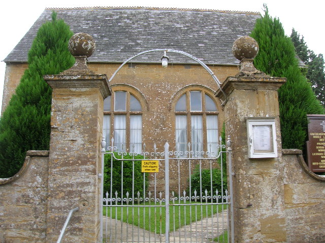
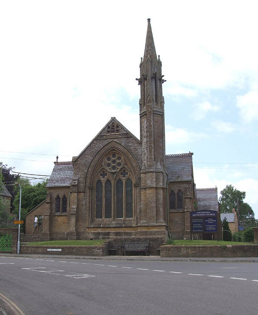
Coke Memorial Methodist Church
Coke Memorial Methodist Church is a former Methodist church in South Petherton, Somerset, England. Designed by Alexander Lauder, it was built in 1881-82...

Over Stratton
Over Stratton is a small village in the district of South Somerset, Somerset, England. It is part of the parish of South Petherton along with the nearby...

Church of St James, East Lambrook
The Anglican Church of St James in East Lambrook, Kingsbury Episcopi, Somerset, England was built in the 12th century. It is a Grade II* listed building...
Church of All Saints, Lopen
The Anglican Church of All Saints in Lopen, Somerset, England was built in the 12th century. It is a Grade II* listed building. == History == The church...
Lopen
Lopen is a village and civil parish in the South Somerset district of Somerset, England, situated 8 miles (12.9 km) west of Yeovil. The village has a population...

Wigborough Manor House
Wigborough Manor House is a manor house in South Petherton, Somerset, England. It was partly built in 1585, although it was never completed to the original...
Nearby Amenities
Located within 500m of 50.946081,-2.812262Have you been to Broadmead?
Leave your review of Broadmead below (or comments, questions and feedback).