Petherton, South
Settlement in Somerset South Somerset
England
Petherton, South
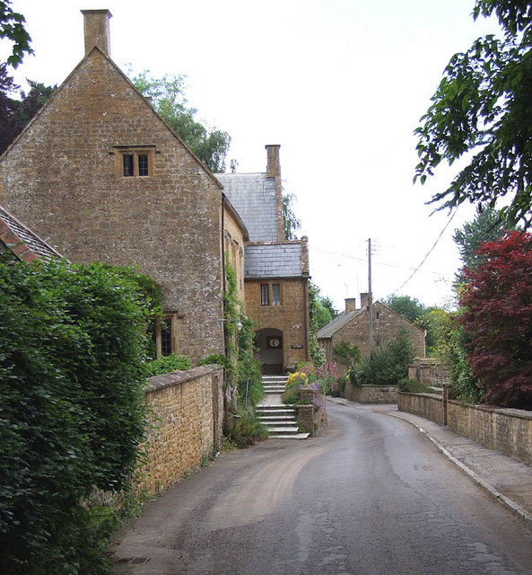
Petherton, South, Somerset is a small town located in the South Somerset district of Somerset County, England. It is situated on the River Parrett, approximately 8 miles north-west of Yeovil. Petherton is composed of two main areas, namely South Petherton and Over Stratton.
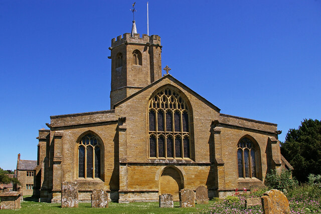
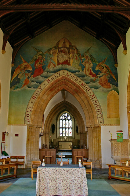
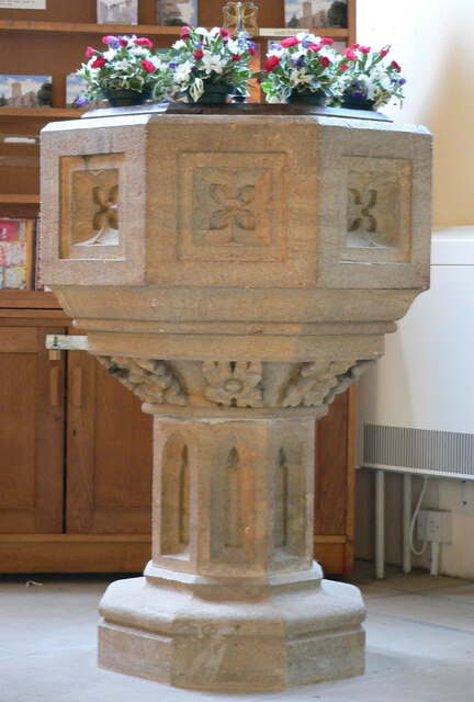
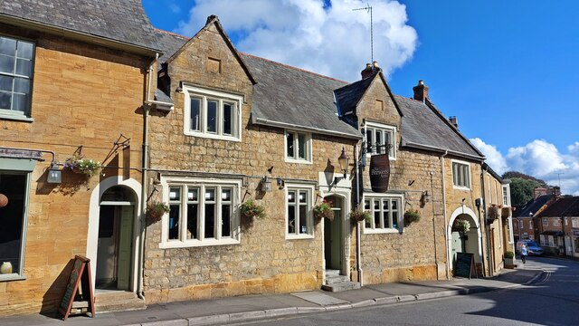
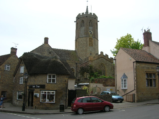
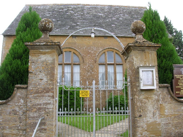
South Petherton is the larger of the two areas and serves as the town center. It boasts a charming and picturesque High Street lined with historic buildings, including the fifteenth-century Church of St. Peter and St. Paul. This church is known for its impressive octagonal tower and magnificent stained glass windows. The town center also features a variety of local businesses, shops, cafes, and traditional pubs, creating a vibrant and welcoming atmosphere.
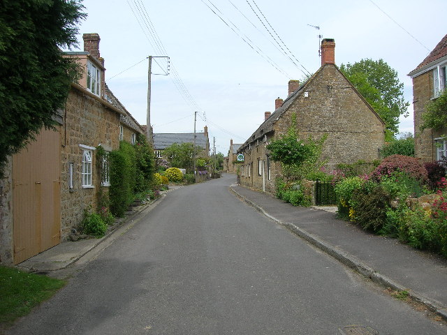
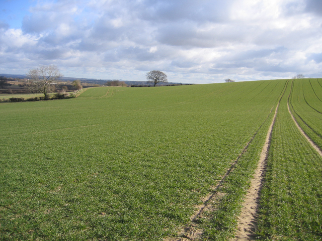
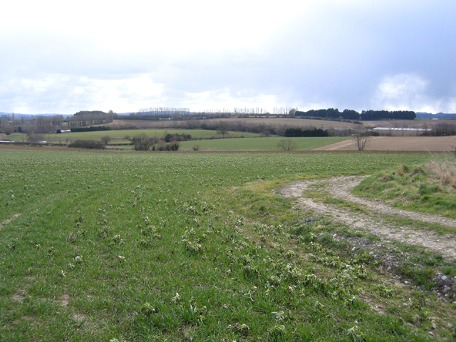
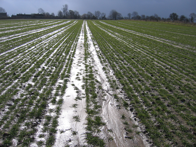
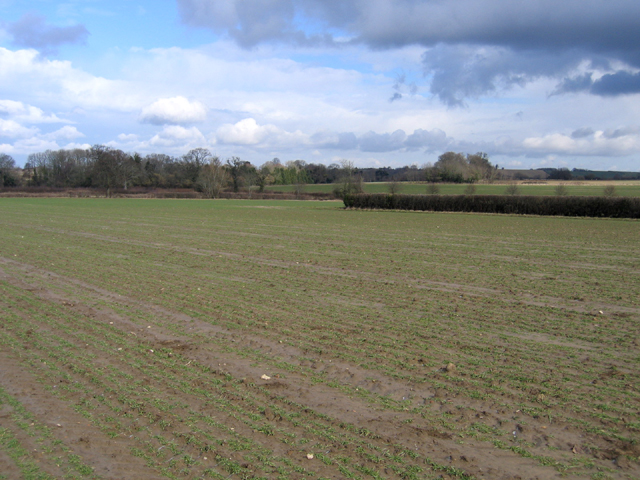
Over Stratton is a smaller, more rural area located to the south-east of South Petherton. It is characterized by its beautiful countryside, rolling hills, and idyllic landscapes. The area is populated by quaint cottages and farmhouses, surrounded by fields and farmland. It offers a peaceful and tranquil setting perfect for nature lovers and those seeking a retreat from the hustle and bustle of city life.
Petherton, South, Somerset benefits from its convenient location, with easy access to major transportation routes such as the A303 and A358. This makes it an attractive destination for visitors looking to explore the stunning surrounding countryside and nearby attractions, including the historic market town of Crewkerne and the popular tourist destination of Glastonbury.
If you have any feedback on the listing, please let us know in the comments section below.
Petherton, South Images
Images are sourced within 2km of 50.948637/-2.809823 or Grid Reference ST4316. Thanks to Geograph Open Source API. All images are credited.

Petherton, South is located at Grid Ref: ST4316 (Lat: 50.948637, Lng: -2.809823)
Administrative County: Somerset
District: South Somerset
Police Authority: Avon and Somerset
What 3 Words
///sorters.windpipe.hardly. Near South Petherton, Somerset
Nearby Locations
Related Wikis

Church of St Peter and St Paul, South Petherton
The Church of St Peter and St Paul is the Church of England parish church for the village of South Petherton, Somerset, England. The present church is...

South Petherton
South Petherton is a large village and civil parish in the South Somerset district of Somerset, England, located 5 miles (8 km) east of Ilminster and 5...

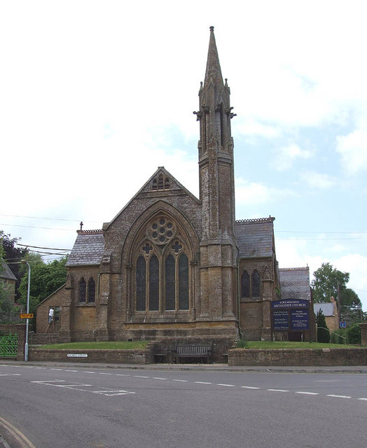
Coke Memorial Methodist Church
Coke Memorial Methodist Church is a former Methodist church in South Petherton, Somerset, England. Designed by Alexander Lauder, it was built in 1881-82...

Over Stratton
Over Stratton is a small village in the district of South Somerset, Somerset, England. It is part of the parish of South Petherton along with the nearby...

Church of St James, East Lambrook
The Anglican Church of St James in East Lambrook, Kingsbury Episcopi, Somerset, England was built in the 12th century. It is a Grade II* listed building...

East Lambrook Manor
East Lambrook Manor is a small 15th-century manor house in East Lambrook, Somerset, England, registered by English Heritage as a Grade II* listed building...
East Lambrook
East Lambrook is an English village situated in the civil parish of Kingsbury Episcopi, within the South Somerset district of Somerset. It is noted particularly...

Parrett Iron Works
The Parrett Iron Works was a series of industrial buildings next to the River Parrett, near Martock, Somerset, England. The site was originally named Carey...
Nearby Amenities
Located within 500m of 50.948637,-2.809823Have you been to Petherton, South?
Leave your review of Petherton, South below (or comments, questions and feedback).