Moor
Settlement in Somerset South Somerset
England
Moor
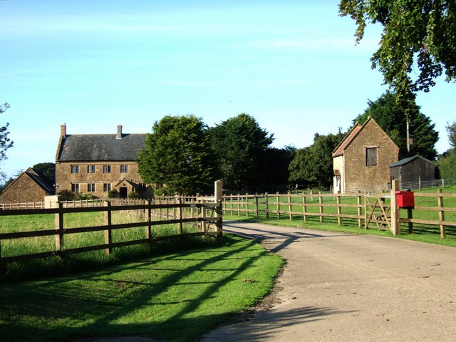
Moor is a small village located in the county of Somerset, England. Situated on the edge of the Somerset Levels, Moor is a predominantly rural area known for its picturesque landscapes and tranquil atmosphere. The village is part of the Mendip district and falls within the parish of Wedmore.
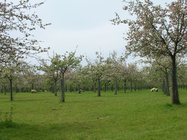
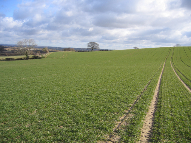
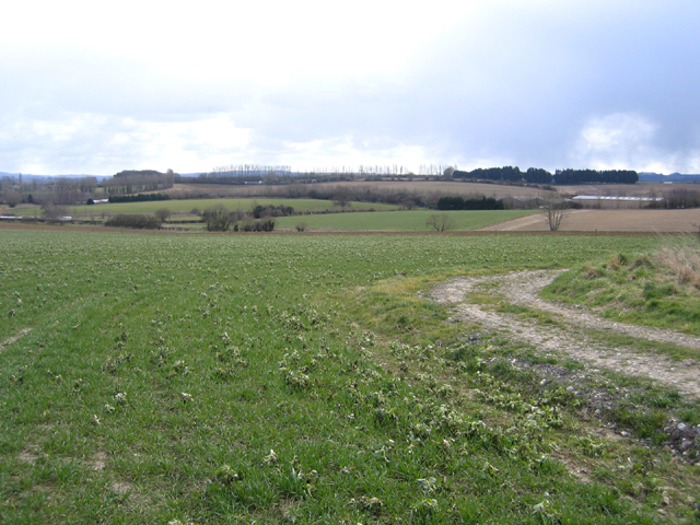
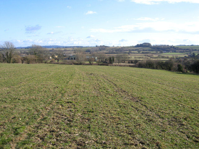
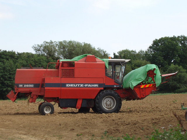
Moor is surrounded by lush green fields, rolling hills, and scattered woodlands, making it an ideal destination for nature enthusiasts and those seeking a peaceful retreat away from the bustling city life. The village is home to a tight-knit community, with a population of around 300 residents.
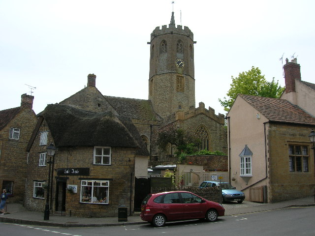
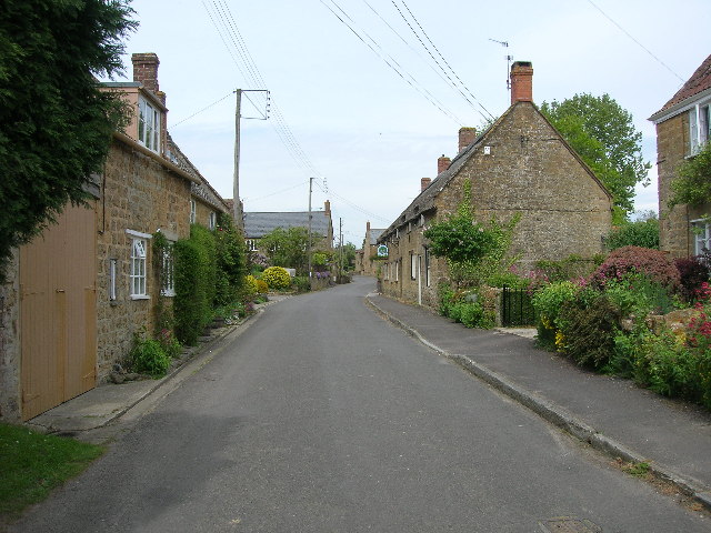
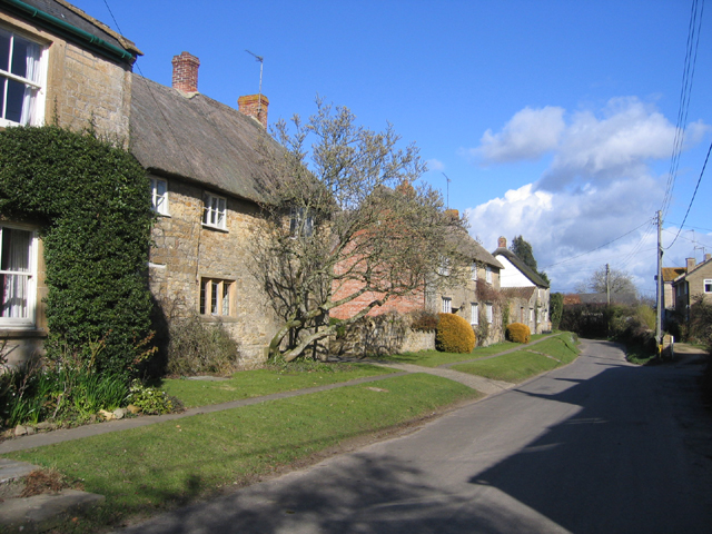
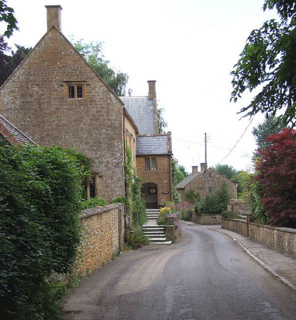
The village itself has a charming and quaint character, with traditional stone cottages and historic buildings adding to its rustic appeal. Moor is also known for its well-preserved church, St. Mary's, which dates back to the 14th century and serves as a focal point for the community.
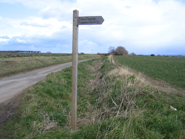
Despite its small size, Moor offers a range of amenities to its residents and visitors. These include a local pub, a village hall, and a primary school. The village is well-connected to nearby towns and cities, with good road links to places such as Wells and Glastonbury.
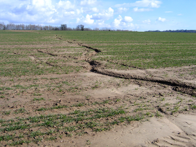
Moor's proximity to the Somerset Levels provides ample opportunities for outdoor activities, such as walking, cycling, and birdwatching. The area is also renowned for its rich biodiversity and is home to several nature reserves and wildlife habitats.
In summary, Moor is a charming rural village nestled in the heart of Somerset, offering a tranquil and scenic escape for those seeking a slower pace of life in a beautiful natural setting.
If you have any feedback on the listing, please let us know in the comments section below.
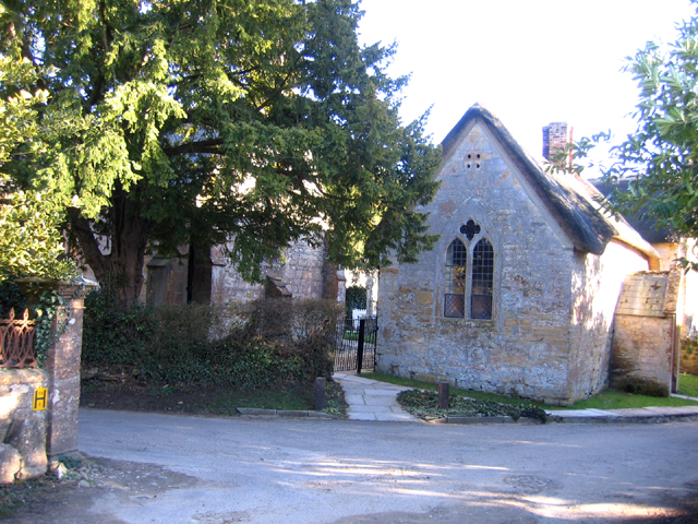
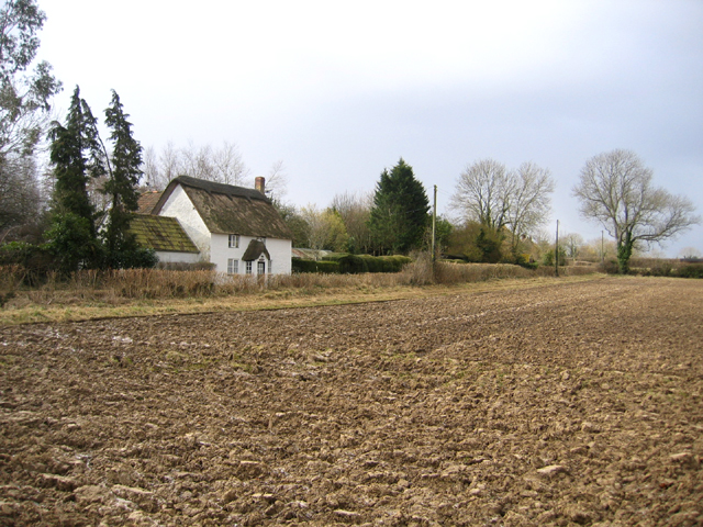
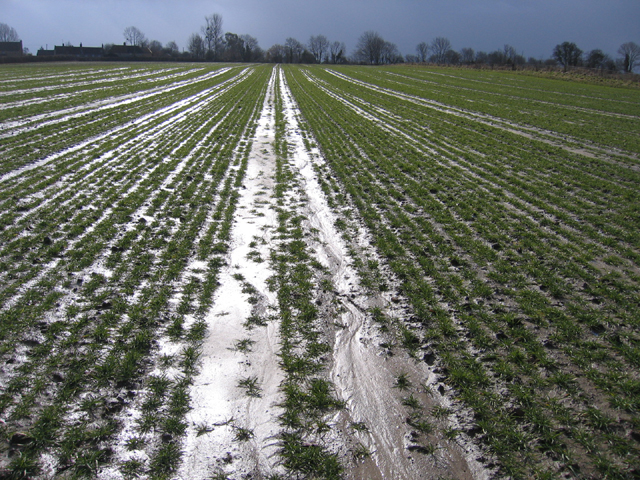
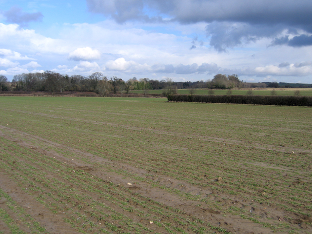
Moor Images
Images are sourced within 2km of 50.942354/-2.811992 or Grid Reference ST4316. Thanks to Geograph Open Source API. All images are credited.

Moor is located at Grid Ref: ST4316 (Lat: 50.942354, Lng: -2.811992)
Administrative County: Somerset
District: South Somerset
Police Authority: Avon and Somerset
What 3 Words
///hazelnuts.codes.scorching. Near South Petherton, Somerset
Nearby Locations
Related Wikis

Church of St Peter and St Paul, South Petherton
The Church of St Peter and St Paul is the Church of England parish church for the village of South Petherton, Somerset, England. The present church is...

South Petherton
South Petherton is a large village and civil parish in the South Somerset district of Somerset, England, located 5 miles (8 km) east of Ilminster and 5...

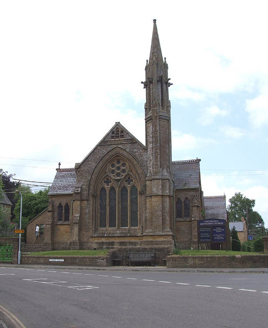
Coke Memorial Methodist Church
Coke Memorial Methodist Church is a former Methodist church in South Petherton, Somerset, England. Designed by Alexander Lauder, it was built in 1881-82...

Over Stratton
Over Stratton is a small village in the district of South Somerset, Somerset, England. It is part of the parish of South Petherton along with the nearby...
Nearby Amenities
Located within 500m of 50.942354,-2.811992Have you been to Moor?
Leave your review of Moor below (or comments, questions and feedback).