Moonzie

Settlement in Fife

Scotland

Moonzie

Hilton to Muirside road Well used until the turn off near the mapped tip. After that it is a bit overgrown but passable.
Hilton to Muirside road Credit: Richard Webb

Moonzie is a small village located in the county of Fife, Scotland. Situated approximately 5 miles southwest of Cupar, it lies in the picturesque countryside of the region. The village has a population of around 200 residents, providing a close-knit community atmosphere.

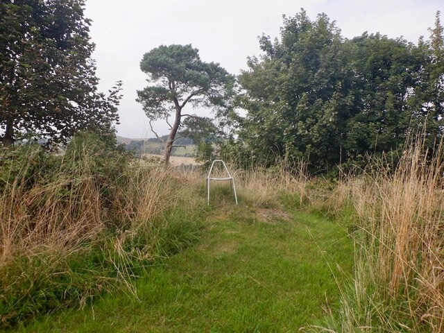
Moonzie is known for its charming and peaceful rural setting, surrounded by rolling hills and farmland. The village is characterized by traditional stone-built houses and cottages, adding to its idyllic appeal. The nearby Moonzie Burn, a small stream, flows through the village, further enhancing its natural beauty.

Despite being a small community, Moonzie boasts several amenities for its residents. The village has a local pub, The Moonzie Tavern, which serves as a social hub for residents and visitors alike. Additionally, there is a village hall that hosts various community events and gatherings.

The surrounding countryside offers ample opportunities for outdoor activities, including walking, cycling, and fishing. Moonzie is also conveniently located near larger towns such as Cupar and St. Andrews, providing access to a wider range of amenities and services.

Overall, Moonzie is a charming and peaceful village that offers a tranquil living environment in the heart of Fife's countryside. Its close-knit community and beautiful surroundings make it an attractive place to reside for those seeking a quieter and more rural lifestyle.

If you have any feedback on the listing, please let us know in the comments section below.

Moonzie Images

Images are sourced within 2km of 56.342361/-3.054732 or Grid Reference NO3417. Thanks to Geograph Open Source API. All images are credited.

Hilton to Muirside road Well used until the turn off near the mapped tip. After that it is a bit overgrown but passable.
Hilton to Muirside road
Well used until the turn off near the mapped tip. After that it is a bit overgrown but passable.
Woodland, Kilmaron Hill
Summit, Kilmaron Hill
Hilton to Muirside road
Wheat stubble, Colluthie Hill
Summit, Colluthie Hill Marked by a chair.
Summit, Colluthie Hill
Marked by a chair.
Gloomy Hopetoun Monument The default path up Mount Hill and to the monument circumnavigates the summit area through woodland. On this day though this was a tick- and fly-infested mess, with various trees blocking the way.
Gloomy Hopetoun Monument
The default path up Mount Hill and to the monument circumnavigates the summit area through woodland. On this day though this was a tick- and fly-infested mess, with various trees blocking the way.
Farmland, Kinsleith Taken from the side of a main road and looking towards Mount Hill.
Farmland, Kinsleith
Taken from the side of a main road and looking towards Mount Hill.
Hopetoun Monument One of a pair, the other being near Haddington, East Lothian, built to unite two parts of an estate on each side of the Forth.
Hopetoun Monument
One of a pair, the other being near Haddington, East Lothian, built to unite two parts of an estate on each side of the Forth.
Pitbladdo Farm Looking west across the paddock towards farmhouse and farm
Pitbladdo Farm
Looking west across the paddock towards farmhouse and farm
Farmland by Moonzie Ploughed and prepared fields between Parbroath and Moonzie bask in the late winter sunshine.
Farmland by Moonzie
Ploughed and prepared fields between Parbroath and Moonzie bask in the late winter sunshine.
Lordscairnie Castle Built c.1450 by the Earls of Crawford, the Lindseys. It's an L plan tower house with 5 storeys. The Lindseys were a powerful family north of the border. Looking north.
Lordscairnie Castle
Built c.1450 by the Earls of Crawford, the Lindseys. It's an L plan tower house with 5 storeys. The Lindseys were a powerful family north of the border. Looking north.
Colluthie Hill Looking west over farmland towards Colluthiehill 120mts by Newington
Colluthie Hill
Looking west over farmland towards Colluthiehill 120mts by Newington
Farmland by Muirside Looking north along the Lordscairnie road towards Muirside.
Farmland by Muirside
Looking north along the Lordscairnie road towards Muirside.
Farmland by East Hall Looking SW and down hill towards West Hall. East Hall is just around the corner. East and West Lomond dominate the skyline to the south.
Farmland by East Hall
Looking SW and down hill towards West Hall. East Hall is just around the corner. East and West Lomond dominate the skyline to the south.
Wester Balgarvie Farm One of the many farms in this rich agricultural area near Cupar
Wester Balgarvie Farm
One of the many farms in this rich agricultural area near Cupar
Easter Balgarvie Farm One of the many farms in this rich agricultural area near Cupar.
Easter Balgarvie Farm
One of the many farms in this rich agricultural area near Cupar.
Farm on the bend Drivers on the A913 are forced to execute a series of tight bends to follow it around the boundary of the Kilmaron Estate, of which this is the main farm.
Farm on the bend
Drivers on the A913 are forced to execute a series of tight bends to follow it around the boundary of the Kilmaron Estate, of which this is the main farm.
Show me another place!

Moonzie is located at Grid Ref: NO3417 (Lat: 56.342361, Lng: -3.054732)

Unitary Authority: Fife

Police Authority: Fife

What 3 Words

///community.large.logo. Near Cupar, Fife

Nearby Locations

Moonzie

Related Wikis

Moonzie

Moonzie is a small parish in Fife, Scotland, about 3 miles north-west of Cupar. It is bounded on the west by Creich, on the north by Kilmany, on the south...

Lordscairnie Castle

Lordscairnie Castle is a ruin situated near Moonzie, 2.5 miles (4.0 km) north-east of Cupar, in Fife, Scotland. It is protected as a scheduled monument...

Balgarvie Castle

Balgarvie Castle was located at Balgarvie, near Cupar in Fife, Scotland. The castle was sacked by an English army led by Sir John Pettsworth during the...

Mount Hill

Mount Hill rises from the rolling farmland about three miles north west of Cupar in North East Fife, Scotland. On its summit stands the 29-metre (95 ft...

Nearby Amenities

Located within 500m of 56.342361,-3.054732
Moonzie
Place: hamlet
Wikidata: Q24993807
Wikipedia: en:Moonzie
Lat/Long: 56.3444536/-3.0606835
Power: pole
Lat/Long: 56.3461622/-3.0509047
Power: pole
Lat/Long: 56.3452106/-3.0507319
Power: pole
Lat/Long: 56.3443693/-3.0509419
The data included in this document is from www.openstreetmap.org. The data is made available under ODbL.

Have you been to Moonzie?

Leave your review of Moonzie below (or comments, questions and feedback).