Moon's Moat

Settlement in Worcestershire Redditch

England

Moon's Moat

The A435, Pink Green
The A435, Pink Green Credit: David Howard

Moon's Moat is a historical site located in Worcestershire, England. Situated near the town of Redditch, it is a scheduled ancient monument that dates back to the medieval period. The moat is believed to have been constructed in the late 13th century and served as a defensive structure for a manor house.

The moat itself is a rectangular earthwork, approximately 100 meters long and 80 meters wide, encircling an area of about 1.5 acres. It is surrounded by a deep, water-filled trench that was once the primary means of defense. The moat is fed by a small stream, ensuring a constant water supply.

Over the centuries, Moon's Moat has undergone various alterations and renovations. During the 15th century, a timber-framed manor house was erected within the moat, replacing an earlier structure. Unfortunately, the manor house no longer stands today, and only a few remnants of the foundations can be seen.

The site has historical significance as it was once linked to the influential Bordesley Abbey, a Cistercian monastery located nearby. Moon's Moat provided protection for the abbey's grange, which served as an agricultural and administrative center.

Today, Moon's Moat remains a popular attraction for history enthusiasts and visitors alike. The well-preserved earthworks and the tranquil surroundings offer insight into the medieval period and provide an excellent opportunity to explore Worcestershire's rich heritage.

If you have any feedback on the listing, please let us know in the comments section below.
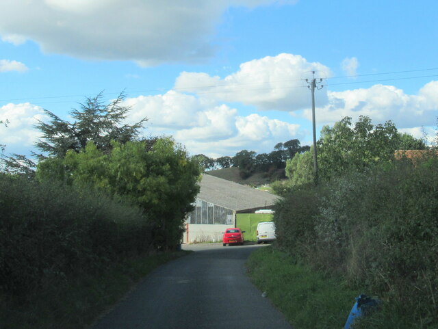
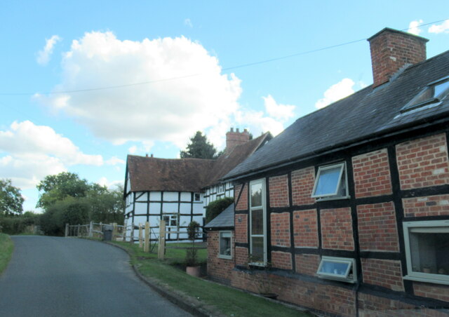
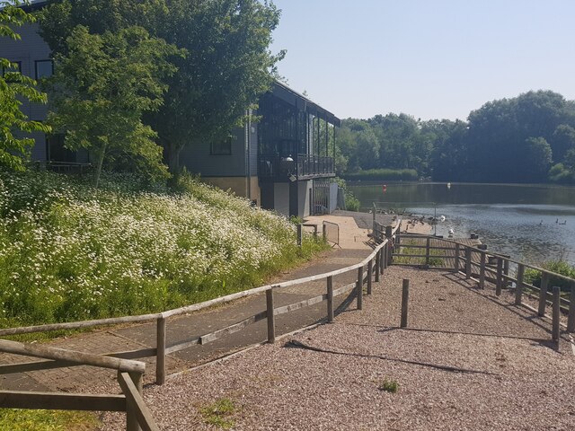
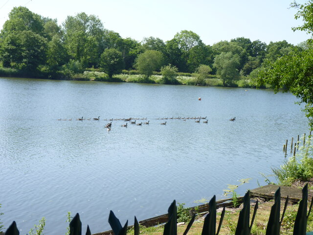
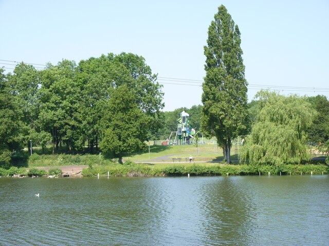
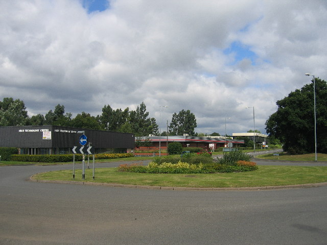
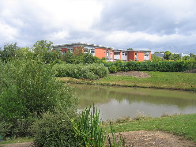
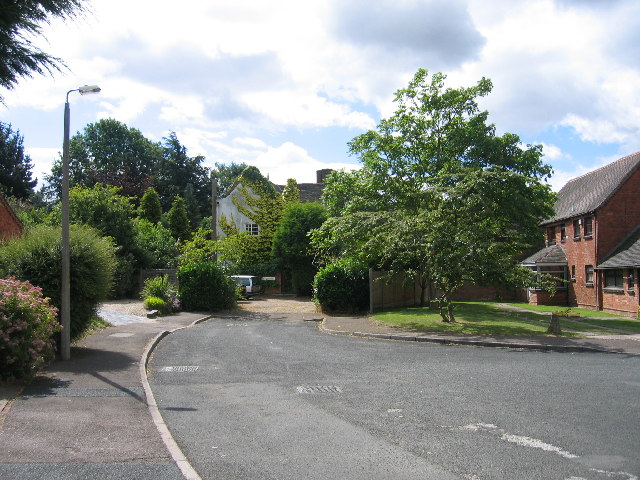
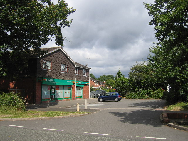
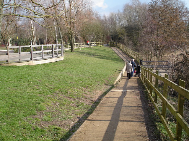
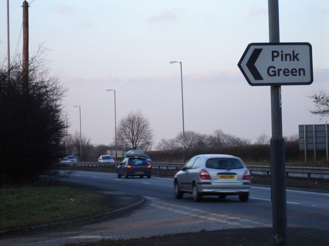
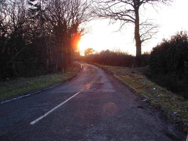
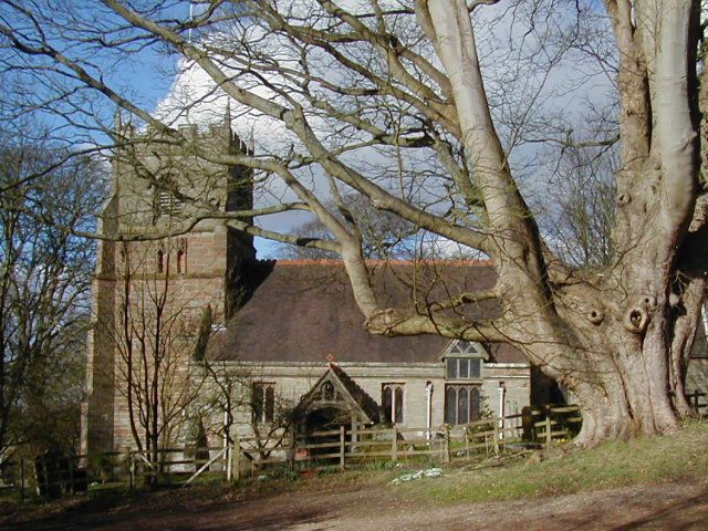
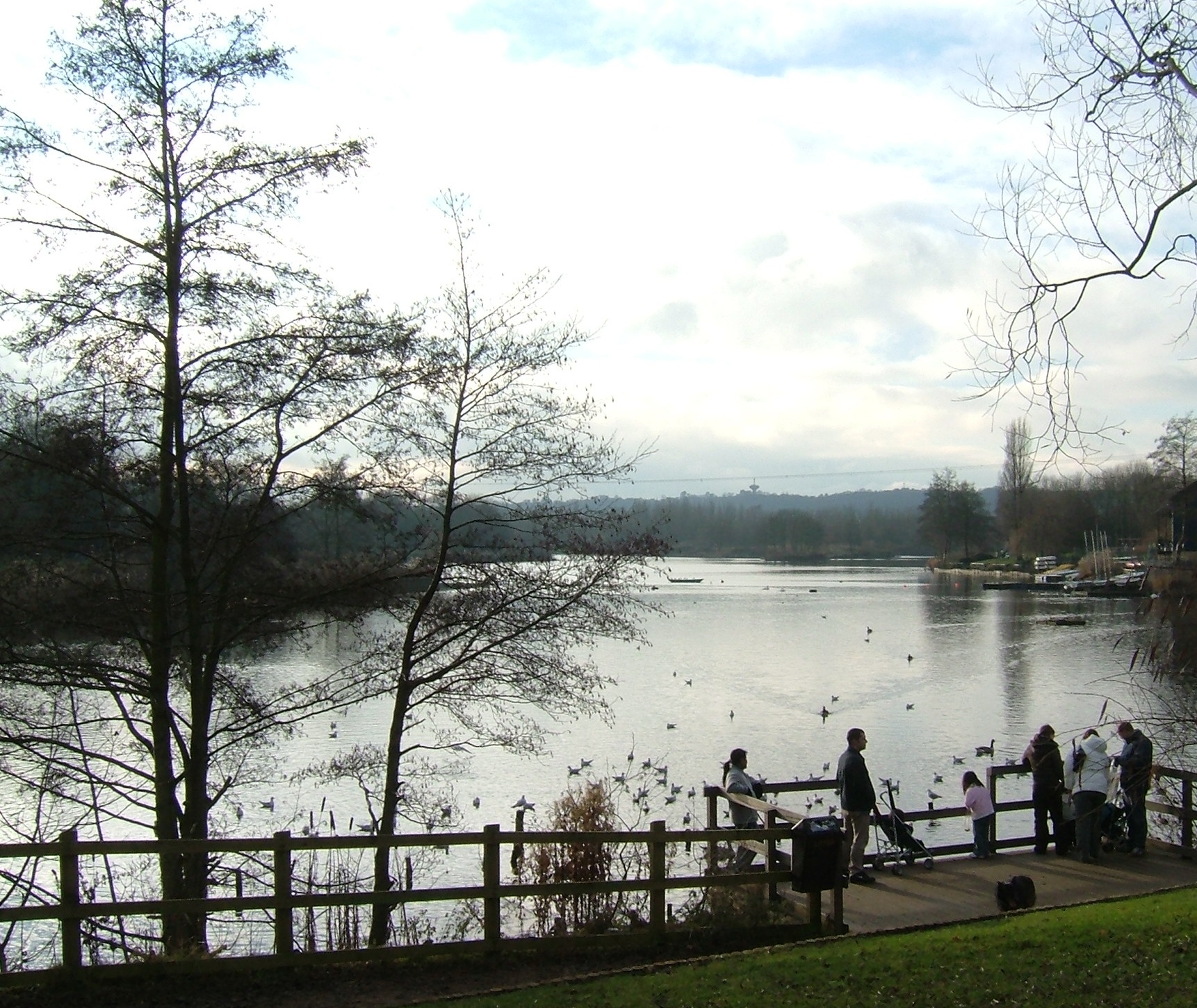
Moon's Moat Images

Images are sourced within 2km of 52.316932/-1.889105 or Grid Reference SP0768. Thanks to Geograph Open Source API. All images are credited.

The A435, Pink Green
Ullenhall Lane, Gorcott Hill Leaving Alcester Road on the right
Ullenhall Lane, Gorcott Hill
Leaving Alcester Road on the right
Portable toilet on Ullenhall Lane, Gorcott Hill By Alcester Road
Portable toilet on Ullenhall Lane, Gorcott Hill
By Alcester Road
Ullenhall Lan at Gorcott Hill junction
Wapping Lane at Lower Greenhills Farm
Wren's Nest and Mount Pleasant, Wapping
Entrance to sailing club Arrow Valley Country Park, Redditch, Worcestershire.
Entrance to sailing club
Arrow Valley Country Park, Redditch, Worcestershire.
A flotilla of ducks  Arrow Valley Country Park, Redditch, Worcestershire.
A flotilla of ducks
Arrow Valley Country Park, Redditch, Worcestershire.
Arrow Valley Country Park cafe from across the lake
Play space at Arrow Valley Country Park, Redditch, Worcestershire
Reed bed, Arrow Valley Country Park, Redditch, Worcestershire
Moon's Moat Industrial Estate Most of this square is covered by an industrial estate.  This new roundabout doesn't yet appear on the OS maps!
Moon's Moat Industrial Estate
Most of this square is covered by an industrial estate. This new roundabout doesn't yet appear on the OS maps!
Moon's Moat Industrial Estate Looking across a drainage pond towards some new developments near the western edge of the square.
Moon's Moat Industrial Estate
Looking across a drainage pond towards some new developments near the western edge of the square.
Winyates Green, Redditch Although most of this square is modern housing as part of the 1970s new town development, this close near Lower House Farm still shows signs of the original farm buildings in the area.
Winyates Green, Redditch
Although most of this square is modern housing as part of the 1970s new town development, this close near Lower House Farm still shows signs of the original farm buildings in the area.
Winyates Green, Redditch Local shops in part of the new town development.
Winyates Green, Redditch
Local shops in part of the new town development.
Arrow Valley Country  Park, Redditch This is a linear country park that runs through the heart of Redditch New town area, with a large lake, recreation areas, walking paths and lots of wide open green space.
Arrow Valley Country Park, Redditch
This is a linear country park that runs through the heart of Redditch New town area, with a large lake, recreation areas, walking paths and lots of wide open green space.
The A435 highway junction to Pink Green This colourfully named small hamlet is signposted directly off the A435 trunk road near Redditch
The A435 highway junction to Pink Green
This colourfully named small hamlet is signposted directly off the A435 trunk road near Redditch
Sunset on the lane leading to Pink Green A late winter's sunset over the lane leading to the quaintly named hamlet of Pink Green
Sunset on the lane leading to Pink Green
A late winter's sunset over the lane leading to the quaintly named hamlet of Pink Green
Show me another place!

Moon's Moat is located at Grid Ref: SP0768 (Lat: 52.316932, Lng: -1.889105)

Administrative County: Worcestershire

District: Redditch

Police Authority: West Mercia

What 3 Words

///merit.snacks.decreased. Near Redditch, Worcestershire

Nearby Locations

Moon's Moat Moon's Moat

Related Wikis

Holt End, Worcestershire

Holt End is a village in the civil parish of Beoley in Worcestershire, England. It is the main centre of population in the parish and is frequently referred...

Beoley

Beoley is a small village and larger civil parish north of Redditch in the Bromsgrove District of Worcestershire. It adjoins Warwickshire to the east....

Gorcott Hill

Gorcott Hill is a small hamlet in the civil parish of Tanworth-in-Arden, in the Stratford-on-Avon district, in the county of Warwickshire, England. It...

Arrow Valley Country Park

Arrow Valley Country Park (also known as Arrow Valley Park) is a country park on the River Arrow, at Redditch, Worcestershire, England. Built by Redditch...

Nearby Amenities

Located within 500m of 52.316932,-1.889105
Bus Stop
Burnt Meadow Road
Bus: yes
Naptan AtcoCode: 2000G323088
Naptan Bearing: NW
Naptan CommonName: Burnt Meadow Road
Naptan Indicator: Adj
Naptan Landmark: Burnt Meadow Road
Naptan NaptanCode: wocdtdjt
Naptan PlusbusZoneRef: RDIT
Naptan Street: Ravens Bank Drive
Naptan Verified: no
Public Transport: platform
Source: naptan_import
Lat/Long: 52.3185733/-1.8911714
Bus Stop
Burnt Meadow Road
Bus: yes
Naptan AtcoCode: 2000G323089
Naptan Bearing: SE
Naptan CommonName: Burnt Meadow Road
Naptan Indicator: Opp
Naptan Landmark: Burnt Meadow Road
Naptan NaptanCode: wocdtdma
Naptan PlusbusZoneRef: RDIT
Naptan Street: Ravensbank Drive
Naptan Verified: no
Public Transport: platform
Source: naptan_import
Lat/Long: 52.3165568/-1.8883597
Bus Stop
Fringe Meadow Road
Bus: yes
Naptan AtcoCode: 2000G323090
Naptan Bearing: SE
Naptan CommonName: Fringe Meadow Road
Naptan Indicator: Opp
Naptan Landmark: Fringe Meadow Road
Naptan NaptanCode: wocdtdmd
Naptan PlusbusZoneRef: RDIT
Naptan Street: Ravensbank Drive
Naptan Verified: no
Public Transport: platform
Source: naptan_import
Lat/Long: 52.3156027/-1.8872618
Bus Stop
Fringe Meadow Road
Bus: yes
Naptan AtcoCode: 2000G323091
Naptan Bearing: NW
Naptan CommonName: Fringe Meadow Road
Naptan Indicator: Adj
Naptan Landmark: Fringe Meadow Road
Naptan NaptanCode: wocdtdmg
Naptan PlusbusZoneRef: RDIT
Naptan Street: Ravensbank Drive
Naptan Verified: no
Public Transport: platform
Source: naptan_import
Lat/Long: 52.3154141/-1.8873943
Barrier: lift_gate
Source: survey
Lat/Long: 52.3166334/-1.8907111
Barrier: lift_gate
Lat/Long: 52.3133632/-1.8922573
Post Box
Ref: B98 176
Lat/Long: 52.3145463/-1.8932645
Post Box
Ref: B98 9029
Lat/Long: 52.3145659/-1.8932914
Crossing
Lat/Long: 52.3150205/-1.8938199
Crossing
Lat/Long: 52.3149751/-1.8937577
Generator Method: photovoltaic
Generator Output Electricity: yes
Generator Source: solar
Generator Type: solar_photovoltaic_panel
Location: roof
Power: generator
Lat/Long: 52.319009/-1.895155
Traffic Calming: bump
Lat/Long: 52.3187725/-1.8922955
Traffic Calming: bump
Lat/Long: 52.3184543/-1.8924329
Traffic Calming: bump
Lat/Long: 52.3182756/-1.8922297
Barrier: yes
Lat/Long: 52.3179239/-1.8923747
The data included in this document is from www.openstreetmap.org. The data is made available under ODbL.

Have you been to Moon's Moat?

Leave your review of Moon's Moat below (or comments, questions and feedback).