Moon's Moat

Heritage Site in Worcestershire Redditch

England

Moon's Moat

Entrance to sailing club Arrow Valley Country Park, Redditch, Worcestershire.
Entrance to sailing club Credit: Jeff Gogarty

Moon's Moat is a historic site located in Worcestershire, England. It is a Scheduled Ancient Monument and is considered a significant heritage site in the region. The site is situated in the town of Redditch, approximately 15 miles south of Birmingham.

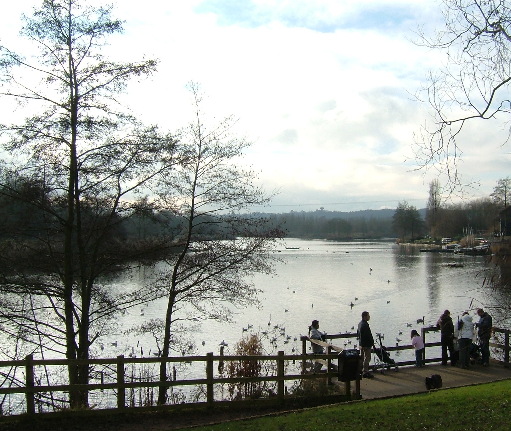
Moon's Moat is an ancient moated manor house that dates back to the 15th century. The name "Moon's Moat" is derived from its association with the Moon family, who owned the property during the medieval period. The manor house was built on a small island surrounded by a water-filled moat, which served both defensive and decorative purposes.

The manor house at Moon's Moat is now in ruins, but its architectural features and historical significance make it an important attraction for visitors and history enthusiasts. The site offers a glimpse into the medieval lifestyle and architecture, showcasing the remains of the great hall, a tower, and other structures that were once part of the manor house.

Today, visitors can explore the site and admire the preserved features of the manor house. Interpretive signs provide information about the history and significance of Moon's Moat, offering visitors a deeper understanding of the site's rich heritage. The surrounding area also offers beautiful scenery and nature trails, making it a popular destination for walkers and nature lovers.

Moon's Moat is managed by the local authorities and is open to the public throughout the year. It is a place of historical importance, providing a valuable link to the past and offering a unique and educational experience for all who visit.

If you have any feedback on the listing, please let us know in the comments section below.
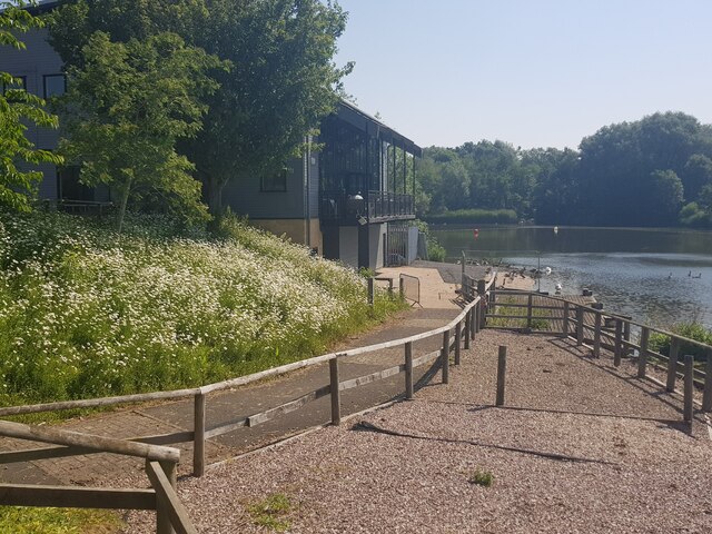
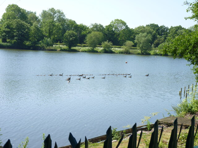
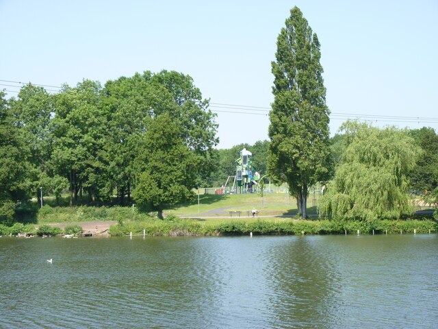
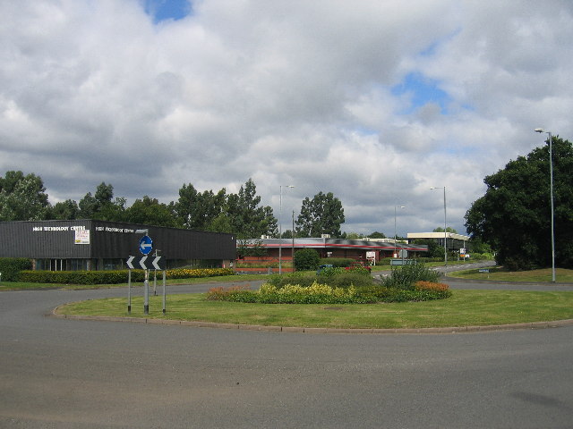
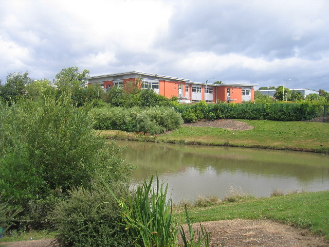
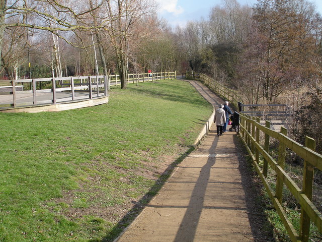
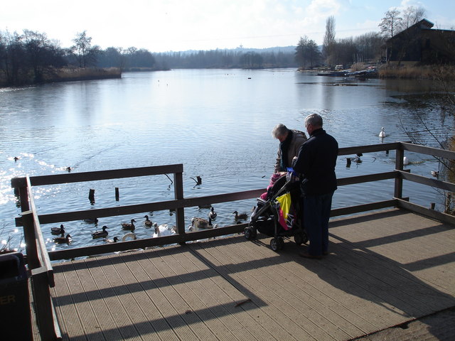
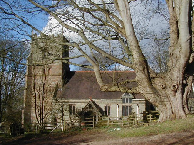
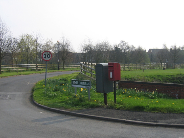
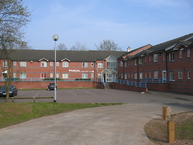
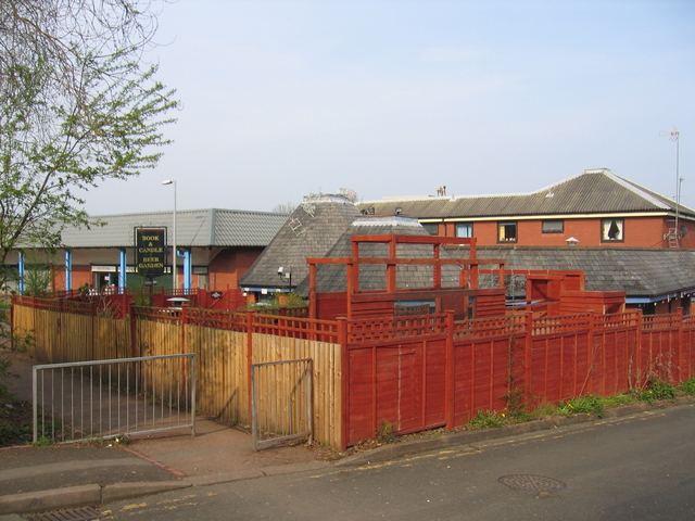
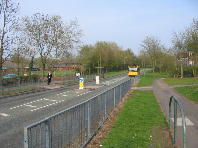
Moon's Moat Images

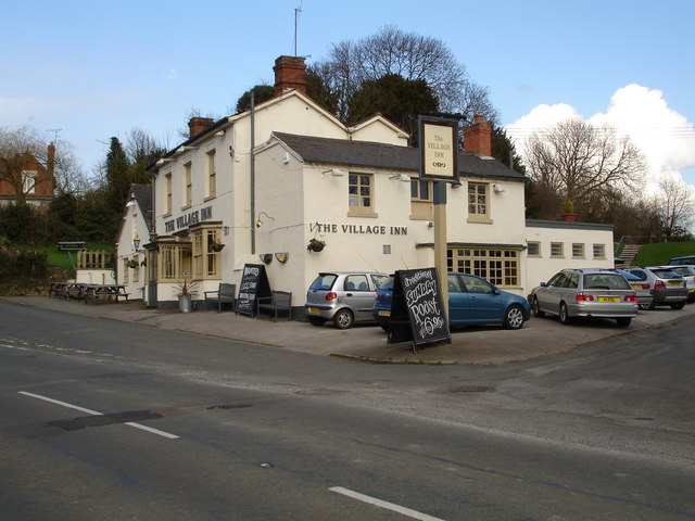
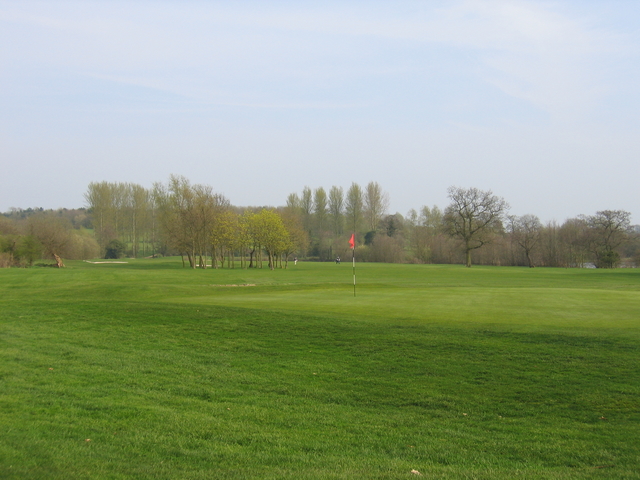
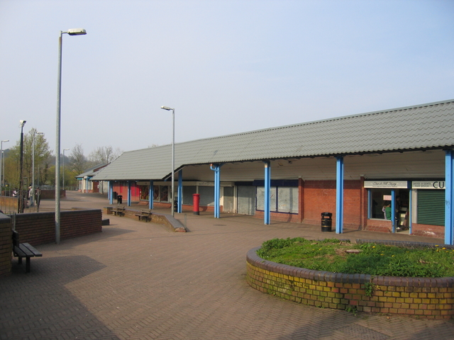
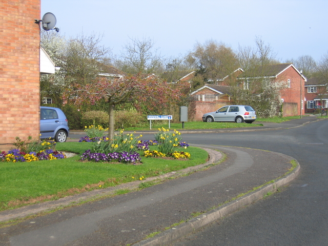
Images are sourced within 2km of 52.3229/-1.9054 or Grid Reference SP0768. Thanks to Geograph Open Source API. All images are credited.

Entrance to sailing club Arrow Valley Country Park, Redditch, Worcestershire.
Entrance to sailing club
Arrow Valley Country Park, Redditch, Worcestershire.
A flotilla of ducks  Arrow Valley Country Park, Redditch, Worcestershire.
A flotilla of ducks
Arrow Valley Country Park, Redditch, Worcestershire.
Arrow Valley Country Park cafe from across the lake
Play space at Arrow Valley Country Park, Redditch, Worcestershire
Reed bed, Arrow Valley Country Park, Redditch, Worcestershire
Moon's Moat Industrial Estate Most of this square is covered by an industrial estate.  This new roundabout doesn't yet appear on the OS maps!
Moon's Moat Industrial Estate
Most of this square is covered by an industrial estate. This new roundabout doesn't yet appear on the OS maps!
Moon's Moat Industrial Estate Looking across a drainage pond towards some new developments near the western edge of the square.
Moon's Moat Industrial Estate
Looking across a drainage pond towards some new developments near the western edge of the square.
Arrow Valley Country  Park, Redditch This is a linear country park that runs through the heart of Redditch New town area, with a large lake, recreation areas, walking paths and lots of wide open green space.
Arrow Valley Country Park, Redditch
This is a linear country park that runs through the heart of Redditch New town area, with a large lake, recreation areas, walking paths and lots of wide open green space.
The Lake in Arrow Valley Country Park The ever popular and timeless pastime of feeding the ducks
The Lake in Arrow Valley Country Park
The ever popular and timeless pastime of feeding the ducks
St Leonards Church, Beoley This church has some architectural features from the 12th Century. It has an 8-bell peal and an active group of bell-ringers.
St Leonards Church, Beoley
This church has some architectural features from the 12th Century. It has an 8-bell peal and an active group of bell-ringers.
The Village Inn at Beoley, near Redditch Located in the heart of this small village.
The Village Inn at Beoley, near Redditch
Located in the heart of this small village.
Abbey Park Golf Course Part of the Abbey Park Golf and Country Club complex, looking near Dagnell End Road towards The Dagnell Brook.
Abbey Park Golf Course
Part of the Abbey Park Golf and Country Club complex, looking near Dagnell End Road towards The Dagnell Brook.
Church Hill centre, Redditch The new town of Redditch was built as a series of distinct districts each with their own centre hub.  These are the shops at the centre of the Church Hill district.  As can be seen they are fitted with heavy shutters as these areas seem to attract unwelcome attention outside of trading hours!
Church Hill centre, Redditch
The new town of Redditch was built as a series of distinct districts each with their own centre hub. These are the shops at the centre of the Church Hill district. As can be seen they are fitted with heavy shutters as these areas seem to attract unwelcome attention outside of trading hours!
Church Hill, Redditch A quiet corner of Snowshill Close in Church Hill with colourful display of flowers in one garden. This shows the typical new town housing developments covering part of this and much of the adjoining squares.
Church Hill, Redditch
A quiet corner of Snowshill Close in Church Hill with colourful display of flowers in one garden. This shows the typical new town housing developments covering part of this and much of the adjoining squares.
Hither Green Lane The post box and some daffodils at the junction of Hither Green Lane and Dagnell End Road, with Abbey Park Golf Course either side of road.
Hither Green Lane
The post box and some daffodils at the junction of Hither Green Lane and Dagnell End Road, with Abbey Park Golf Course either side of road.
Gordon Anstis House, Redditch The YMCA building in Church Hill, Redditch.
Gordon Anstis House, Redditch
The YMCA building in Church Hill, Redditch.
Book and Candle The public house in the centre of the Church Hill district of Redditch. The pub garden seems to be largely surrounded by high panel fencing.
Book and Candle
The public house in the centre of the Church Hill district of Redditch. The pub garden seems to be largely surrounded by high panel fencing.
Busway, Church Hill The new town districts of Redditch are linked by a network of bus-only roadways, sort of a poor man's tramway system, to provide traffic immune public transport around the town.
Busway, Church Hill
The new town districts of Redditch are linked by a network of bus-only roadways, sort of a poor man's tramway system, to provide traffic immune public transport around the town.
Show me another place!

Moon's Moat is located at Grid Ref: SP0768 (Lat: 52.3229, Lng: -1.9054)

Administrative County: Worcestershire

District: Redditch

Police Authority: West Mercia

What 3 Words

///starts.edgy.gets. Near Redditch, Worcestershire

Nearby Locations

Moon's Moat Moon's Moat

Related Wikis

Beoley

Beoley is a small village and larger civil parish north of Redditch in the Bromsgrove District of Worcestershire. It adjoins Warwickshire to the east....

Holt End, Worcestershire

Holt End is a village in the civil parish of Beoley in Worcestershire, England. It is the main centre of population in the parish and is frequently referred...

Arrow Valley Country Park

Arrow Valley Country Park (also known as Arrow Valley Park) is a country park on the River Arrow, at Redditch, Worcestershire, England. Built by Redditch...

Bordesley Abbey

Bordesley Abbey was a 12th-century Cistercian abbey near the town of Redditch, in Worcestershire, England. The abbey's foundation was an act of Waleran...

Nearby Amenities

Located within 500m of 52.3229,-1.9054
Beoley
Place: hamlet
Source: Bing
Wikidata: Q2601726
Lat/Long: 52.3253006/-1.9029718
Turning Circle
Source: bing
Lat/Long: 52.3209022/-1.8996722
Bus Stop
Tanhouse Lane
Bus: yes
Naptan AtcoCode: 2000G323081
Naptan Bearing: S
Naptan CommonName: Tanhouse Lane
Naptan Indicator: Adj
Naptan Landmark: Paper Mill Drive
Naptan NaptanCode: wocdtdgw
Naptan PlusbusZoneRef: RDIT
Naptan Street: Tanhouse Lane
Naptan Verified: no
Public Transport: platform
Source: naptan_import
Lat/Long: 52.3203405/-1.9077312
Bus Stop
Tanhouse Lane
Bus: yes
Naptan AtcoCode: 2000G323082
Naptan Bearing: NE
Naptan CommonName: Tanhouse Lane
Naptan Indicator: Opp
Naptan Landmark: Paper Mill Drive
Naptan NaptanCode: wocdtdja
Naptan PlusbusZoneRef: RDIT
Naptan Street: Tanhouse Lane
Naptan Verified: no
Public Transport: platform
Source: naptan_import
Lat/Long: 52.3201249/-1.9080104
Bus Stop
Wood Piece Lane
Bus: yes
Naptan AtcoCode: 2000G323084
Naptan Bearing: SW
Naptan CommonName: Wood Piece Lane
Naptan Indicator: Adj
Naptan Landmark: Wood Piece Lane
Naptan NaptanCode: wocdtdjg
Naptan PlusbusZoneRef: RDIT
Naptan Street: Ravens Bank Drive
Naptan Verified: no
Public Transport: platform
Source: naptan_import
Lat/Long: 52.3208241/-1.9053533
Bus Stop
Wood Piece Lane
Bus: yes
Naptan AtcoCode: 2000G323085
Naptan Bearing: NE
Naptan CommonName: Wood Piece Lane
Naptan Indicator: Opp
Naptan Landmark: Wood Piece lane
Naptan NaptanCode: wocdtdjm
Naptan PlusbusZoneRef: RDIT
Naptan Street: Ravens Bank Drive
Naptan Verified: no
Public Transport: platform
Source: naptan_import
Lat/Long: 52.3211826/-1.9039588
Bus Stop
Icknield Street
Bus: yes
Naptan AtcoCode: 2000G631002
Naptan Bearing: S
Naptan CommonName: Icknield Street
Naptan Indicator: Southbound
Naptan NaptanCode: wocdmgjt
Naptan PlusbusZoneRef: RDIT
Naptan Street: Icknield Street
Naptan Verified: no
Public Transport: platform
Source: naptan_import
Lat/Long: 52.3223556/-1.9092822
Communication Mobile Phone: yes
Man Made: mast
Lat/Long: 52.3204106/-1.908954
Communication Mobile Phone: yes
Man Made: mast
Lat/Long: 52.320184/-1.9084563
Communication Mobile Phone: yes
Man Made: mast
Lat/Long: 52.320177/-1.9086997
Generator Method: photovoltaic
Generator Output Electricity: yes
Generator Source: solar
Generator Type: solar_photovoltaic_panel
Location: roof
Power: generator
Lat/Long: 52.3198271/-1.9049048
Generator Method: photovoltaic
Generator Output Electricity: yes
Generator Source: solar
Generator Type: solar_photovoltaic_panel
Location: roof
Power: generator
Lat/Long: 52.3188598/-1.9025472
Generator Method: photovoltaic
Generator Output Electricity: yes
Generator Source: solar
Generator Type: solar_photovoltaic_panel
Location: roof
Power: generator
Lat/Long: 52.3189959/-1.9072571
Generator Method: photovoltaic
Generator Output Electricity: yes
Generator Source: solar
Generator Type: solar_photovoltaic_panel
Location: roof
Power: generator
Lat/Long: 52.319091/-1.9072491
Power: pole
Ref: 775980
Source: wpd_opendata
Transformer: distribution
Lat/Long: 52.3242823/-1.9110364
Barrier: kissing_gate
Lat/Long: 52.326411/-1.9031327
Barrier: kissing_gate
Lat/Long: 52.3253602/-1.9060873
Historic: memorial
Lat/Long: 52.3241238/-1.9054531
Bench
Lat/Long: 52.3239703/-1.9054104
The data included in this document is from www.openstreetmap.org. The data is made available under ODbL.

Have you been to Moon's Moat?

Leave your review of Moon's Moat below (or comments, questions and feedback).