Broadmeadows
Settlement in Derbyshire Bolsover
England
Broadmeadows
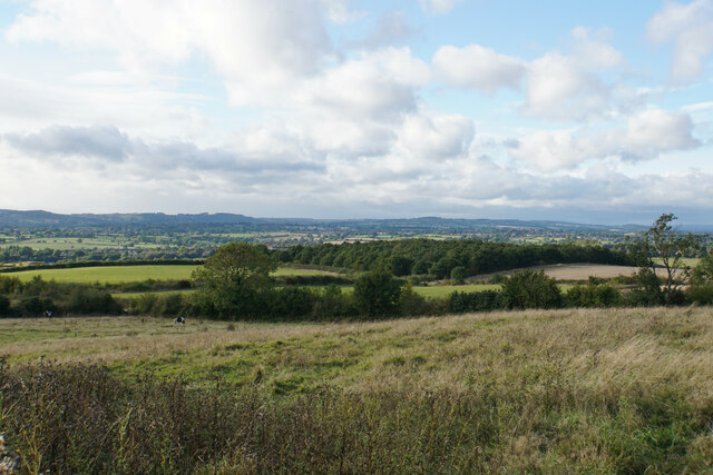
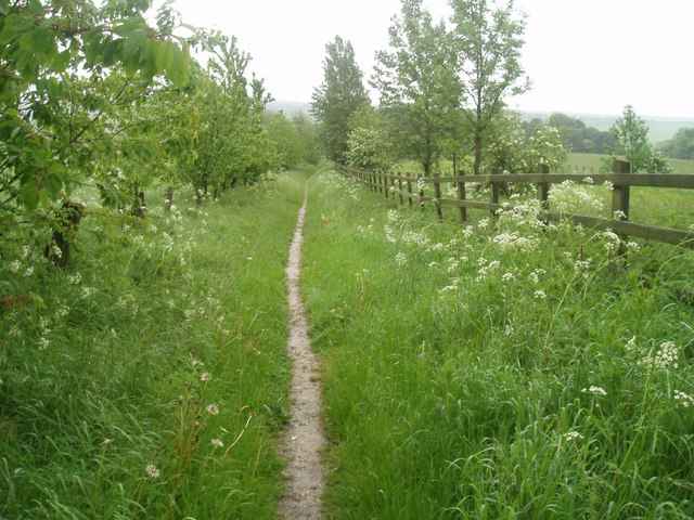
Broadmeadows is a small village located in the southern part of Derbyshire, England. With a population of around 500 residents, it offers a tranquil and picturesque setting for its inhabitants. Situated within the Peak District National Park, Broadmeadows is surrounded by stunning natural beauty, including rolling hills, lush green meadows, and charming woodlands.
The village itself is characterized by its quaint and traditional architecture, with stone-built houses and a few historic buildings that date back several centuries. The local community is tight-knit and friendly, fostering a warm and welcoming atmosphere for both residents and visitors alike.
Broadmeadows is known for its agricultural heritage, with farming being a significant part of the local economy. The fertile land allows for the cultivation of crops and the rearing of livestock, contributing to the village's rural charm. Additionally, the village benefits from its proximity to nearby towns, such as Ashbourne and Buxton, which provide employment opportunities and amenities for the residents.
Outdoor enthusiasts are drawn to Broadmeadows due to its prime location for various recreational activities. The surrounding countryside offers excellent opportunities for hiking, cycling, and horseback riding, with numerous trails and paths to explore. The nearby River Dove is also popular for fishing and canoeing.
Overall, Broadmeadows is a serene and idyllic village that provides a peaceful retreat from the hustle and bustle of city life. Its natural beauty, strong sense of community, and agricultural heritage make it a charming destination for those seeking a tranquil rural experience.
If you have any feedback on the listing, please let us know in the comments section below.
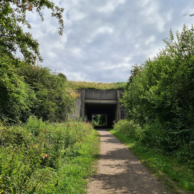
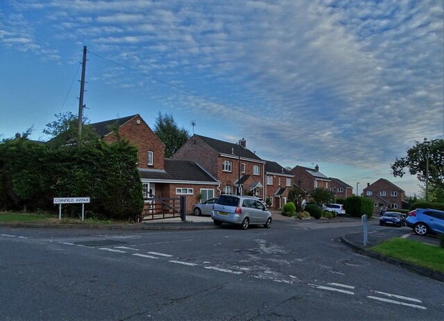
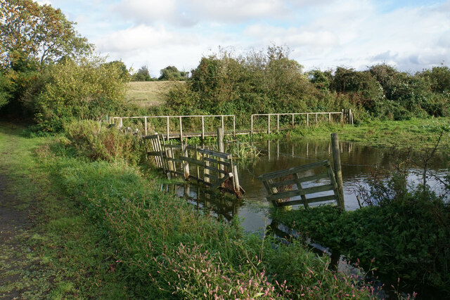
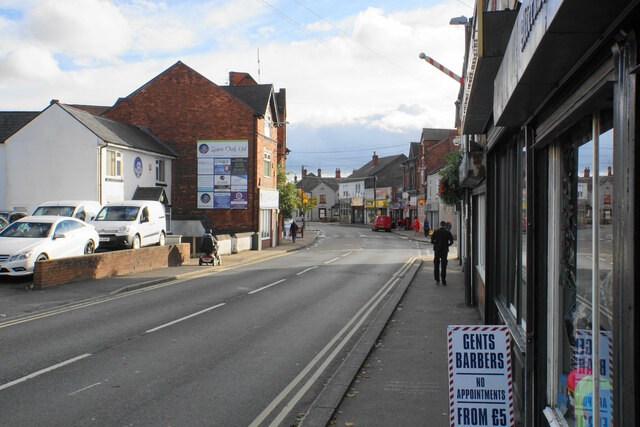
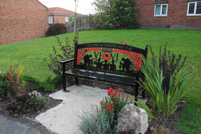
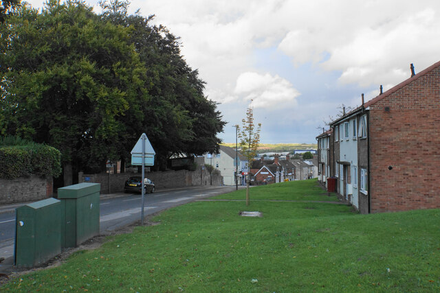
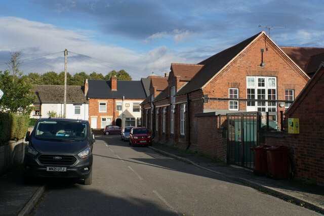
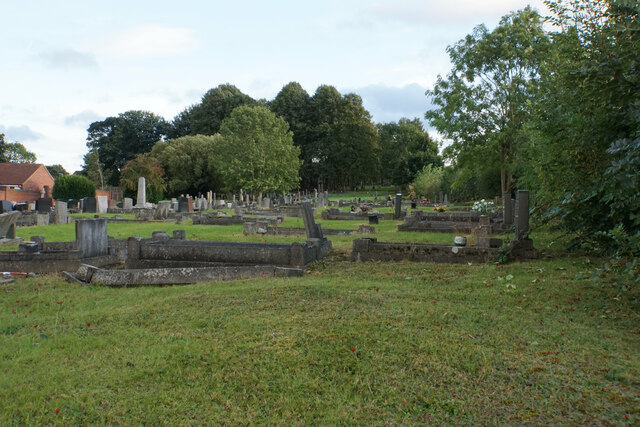
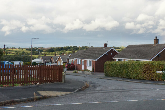
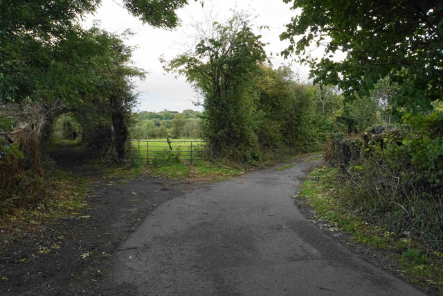
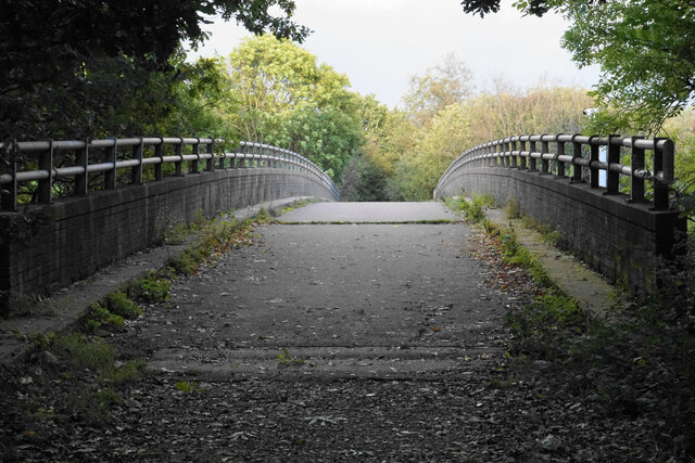
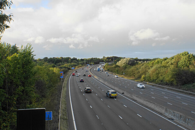
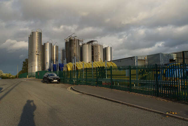
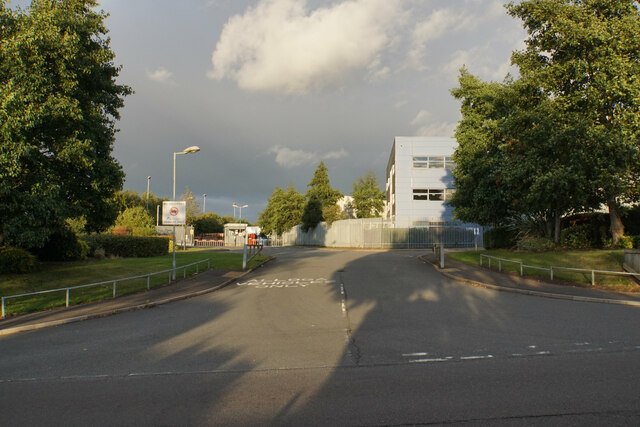
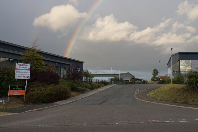
Broadmeadows Images
Images are sourced within 2km of 53.097162/-1.3323934 or Grid Reference SK4455. Thanks to Geograph Open Source API. All images are credited.


Broadmeadows is located at Grid Ref: SK4455 (Lat: 53.097162, Lng: -1.3323934)
Administrative County: Derbyshire
District: Bolsover
Police Authority: Derbyshire
What 3 Words
///bracing.recorder.blurs. Near Pinxton, Derbyshire
Nearby Locations
Related Wikis

Frederick Gent School
The Frederick Gent Comprehensive School is a co-educational secondary school located on Mansfield Road (B6019) in South Normanton in the Bolsover district...

Pinxton
Pinxton is a village and civil parish in Derbyshire on the western boundary of Nottinghamshire, England, just south of the Pinxton Interchange at Junction...

South Normanton
South Normanton is a village and civil parish in the Bolsover District of Derbyshire, England. The population at the 2011 Census was 9,445. An ex-mining...
South Normanton F.C.
South Normanton Football Club was a football club based in South Normanton, Derbyshire. == History == The club was formed as a feeder club of South Normanton...
South Normanton Athletic F.C.
South Normanton Athletic Football Club is a football club based in South Normanton, near Alfreton, Derbyshire, England. They play at Lees Lane. == History... ==
Pinxton South railway station
Pinxton South railway station was a former railway station that served Pinxton, Derbyshire; the station site lies within the parish of Selston, Nottinghamshire...
Pinxton and Selston railway station
Pinxton and Selston railway station served the villages of Pinxton, Derbyshire and Selston, Nottinghamshire. It was located on the Midland Railway's Mansfield...
Upper Birchwood
Upper Birchwood is a village in Derbyshire, England. It is in the civil parish of Pinxton. Upper Birchwood lies east of the town of Alfreton, and the Erewash...
Nearby Amenities
Located within 500m of 53.097162,-1.3323934Have you been to Broadmeadows?
Leave your review of Broadmeadows below (or comments, questions and feedback).