Upper Birchwood

Wood, Forest in Derbyshire Bolsover

England

Upper Birchwood

Roundabout on Birchwood Lane In South Normanton
Roundabout on Birchwood Lane Credit: Neil Theasby

Upper Birchwood is a small village located in the county of Derbyshire, England. Situated amidst the picturesque surroundings of the Peak District National Park, it is renowned for its abundance of woodlands and forests, lending the village a serene and natural charm.

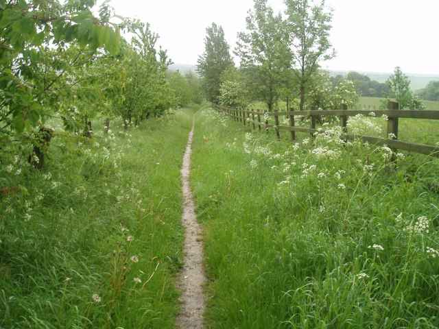
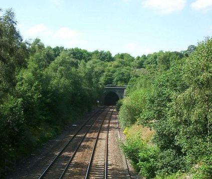
The village is characterized by its dense tree cover, with towering oak, beech, and pine trees dominating the landscape. The forests provide a habitat for a diverse range of wildlife, including deer, foxes, and various bird species, making it a haven for nature enthusiasts and birdwatchers.

Upper Birchwood offers an idyllic rural setting, with its quaint cottages and traditional stone houses nestled amongst the woodlands. The village is known for its close-knit community, where residents take pride in their natural surroundings and actively participate in conservation efforts.

The woodlands surrounding Upper Birchwood are a popular destination for outdoor activities such as hiking, cycling, and horseback riding. Numerous trails and paths crisscross the area, offering breathtaking views of the rolling hills and tranquil streams that meander through the forests.

Despite its secluded location, the village is well-connected to neighboring towns and cities. The nearby town of Derby is just a short drive away, offering a range of amenities and services. Additionally, the village benefits from excellent transport links, with regular bus services connecting it to the wider region.

In conclusion, Upper Birchwood in Derbyshire is a charming village that boasts a rich natural landscape, with its woodlands and forests providing a tranquil retreat for both residents and visitors alike.

If you have any feedback on the listing, please let us know in the comments section below.

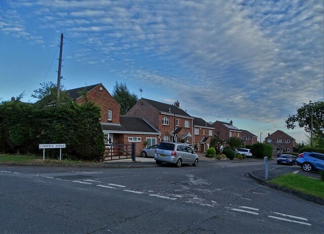
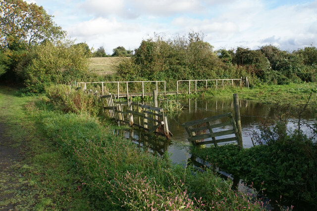
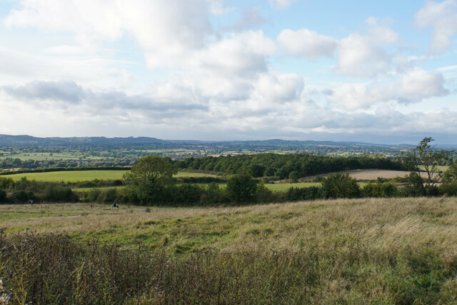
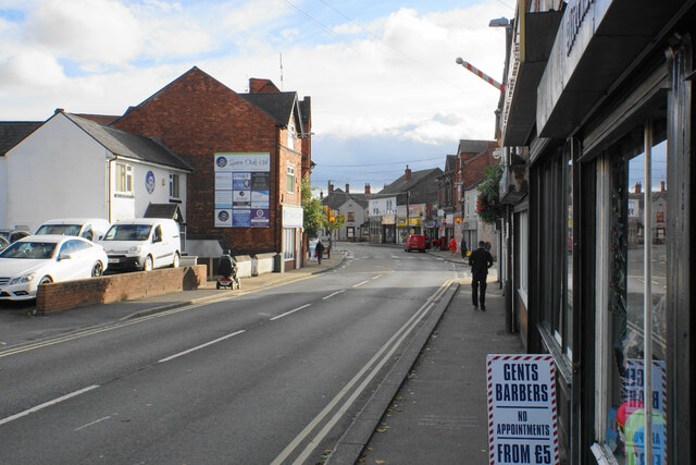
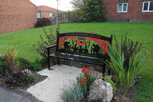
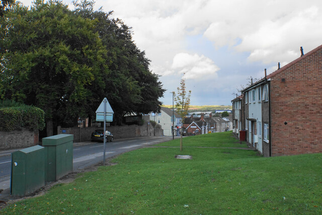
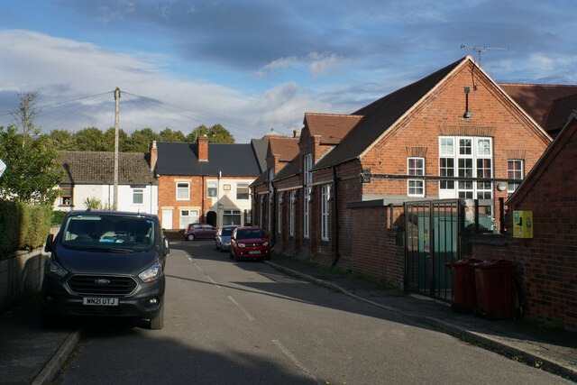
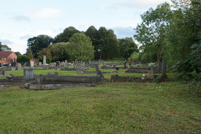
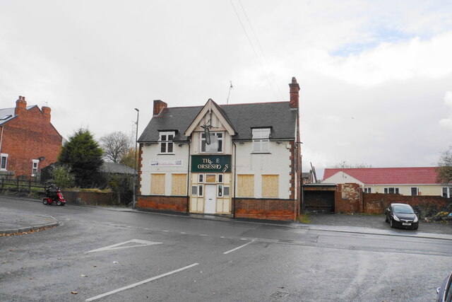
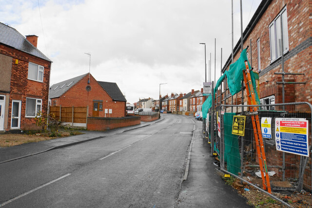
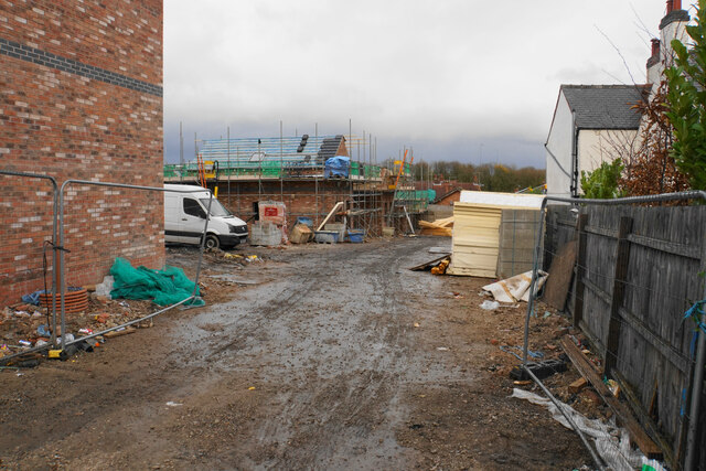
Upper Birchwood Images

Images are sourced within 2km of 53.092316/-1.3420103 or Grid Reference SK4455. Thanks to Geograph Open Source API. All images are credited.

Roundabout on Birchwood Lane In South Normanton
Roundabout on Birchwood Lane
In South Normanton
Cornfield Avenue, Normanton Common
Flooded corner of a field This corner appears to be almost permanently flooded as the public footpath on the far side requires a boardwalk to make it passable. In practice, most people cut across the field to the right and avoid this part.
Flooded corner of a field
This corner appears to be almost permanently flooded as the public footpath on the far side requires a boardwalk to make it passable. In practice, most people cut across the field to the right and avoid this part.
Path to South Normanton The path arrives between gardens on Hilcote Street.
Path to South Normanton
The path arrives between gardens on Hilcote Street.
Grazing land by South Normanton South Normanton is on a bit of a rise, which affords views across the Amber basin to the higher Derbyshire hills.
Grazing land by South Normanton
South Normanton is on a bit of a rise, which affords views across the Amber basin to the higher Derbyshire hills.
High Street, South Normanton The main street through the former mining village.
High Street, South Normanton
The main street through the former mining village.
War memorial bench in South Normanton
Church Street, South Normanton The land seen in the distance is in Nottinghamshire.
Church Street, South Normanton
The land seen in the distance is in Nottinghamshire.
The Green Infant School In an area of quite tightly packed housing.
The Green Infant School
In an area of quite tightly packed housing.
Churchyard of St Michael & All Angels A long narrow churchyard.
Churchyard of St Michael & All Angels
A long narrow churchyard.
Ball Hill The road is about to cross over the M1.
Ball Hill
The road is about to cross over the M1.
The M1 near South Normanton Viewed from Ball Hill. The sliproads lead to Junction 28.
The M1 near South Normanton
Viewed from Ball Hill. The sliproads lead to Junction 28.
Alfreton Road At the junction with Birchwood Lane. As daylight fades, a weather front is approaching from the west.
Alfreton Road
At the junction with Birchwood Lane. As daylight fades, a weather front is approaching from the west.
Part of an industrial estate in Alfreton, Derbyshire The unit ahead is leased by Mountain Outfitters as a factory shop for Rab and Lowe Alpine outdoor gear and stocks sleeping bags and down jackets and the like at around 50% discounted prices compared to the high street retailers.
Part of an industrial estate in Alfreton, Derbyshire
The unit ahead is leased by Mountain Outfitters as a factory shop for Rab and Lowe Alpine outdoor gear and stocks sleeping bags and down jackets and the like at around 50% discounted prices compared to the high street retailers.
Industrial unit on an estate in Alfreton Mountain Outfitters retail Rab and Lowe Alpine products here and manufacture them next door I believe.
Industrial unit on an estate in Alfreton
Mountain Outfitters retail Rab and Lowe Alpine products here and manufacture them next door I believe.
Sad-looking pub in Pinxton This pub was put on the market a couple of years ago, but there do not seem to have been any buyers.
Sad-looking pub in Pinxton
This pub was put on the market a couple of years ago, but there do not seem to have been any buyers.
Town Street, Pinxton The street has an assortment of mostly residential buildings, with new ones being built on the right.
Town Street, Pinxton
The street has an assortment of mostly residential buildings, with new ones being built on the right.
New housing off Town Street There will be 8 three bedroom houses known as Sunnyside Mews.
New housing off Town Street
There will be 8 three bedroom houses known as Sunnyside Mews.
Show me another place!

Upper Birchwood is located at Grid Ref: SK4455 (Lat: 53.092316, Lng: -1.3420103)

Administrative County: Derbyshire

District: Bolsover

Police Authority: Derbyshire

What 3 Words

///candle.metro.pushed. Near Pinxton, Derbyshire

Related Wikis

Frederick Gent School

The Frederick Gent Comprehensive School is a co-educational secondary school located on Mansfield Road (B6019) in South Normanton in the Bolsover district...

Upper Birchwood

Upper Birchwood is a village in Derbyshire, England. It is in the civil parish of Pinxton. Upper Birchwood lies east of the town of Alfreton, and the Erewash...

Lower Birchwood

Lower Birchwood is a village in Derbyshire, England. Lower Birchwood lies east of the town of Alfreton but the population is included in the civil parish...

Pinxton

Pinxton is a village and civil parish in Derbyshire on the western boundary of Nottinghamshire, England, just south of the Pinxton Interchange at Junction...

Pinxton South railway station

Pinxton South railway station was a former railway station that served Pinxton, Derbyshire; the station site lies within the parish of Selston, Nottinghamshire...

South Normanton F.C.

South Normanton Football Club was a football club based in South Normanton, Derbyshire. == History == The club was formed as a feeder club of South Normanton...

South Normanton Athletic F.C.

South Normanton Athletic Football Club is a football club based in South Normanton, near Alfreton, Derbyshire, England. They play at Lees Lane. == History... ==

South Normanton

South Normanton is a village and civil parish in the Bolsover District of Derbyshire, England. The population at the 2011 Census was 9,445. An ex-mining...

Nearby Amenities

Located within 500m of 53.092316,-1.3420103
Bench
Ele: 141.1983643
Lat/Long: 53.0958019/-1.3459949
Post Box
Ele: 141.1983643
Operator: Royal Mail
Operator Wikidata: Q638098
Ref: DE55 544
Lat/Long: 53.0957955/-1.3460808
Ele: 123.6542969
Lat/Long: 53.0936343/-1.3405247
Ele: 131.3448486
Lat/Long: 53.0936487/-1.3427925
Ele: 137.8336182
Lat/Long: 53.0936454/-1.3439632
Ele: 143.3612061
Lat/Long: 53.0937092/-1.3450194
Ele: 118.3670654
Lat/Long: 53.0942052/-1.3353435
Ele: 116.4444580
Lat/Long: 53.0937452/-1.3361279
Ele: 117
Lat/Long: 53.0960427/-1.3428969
Ele: 119
Lat/Long: 53.0962596/-1.3430526
Ele: 118.1268311
Lat/Long: 53.0964409/-1.3432537
Ele: 119.0881348
Lat/Long: 53.0964602/-1.3433337
Ele: 122
Lat/Long: 53.0964956/-1.3436378
Ele: 113
Note: Looks like stream would run over or under path depending on how much was flowing
Lat/Long: 53.0954678/-1.342033
Ele: 115
Lat/Long: 53.0959441/-1.3427985
Ele: 107.7927246
Lat/Long: 53.0945992/-1.3408478
Ele: 110.6766357
Lat/Long: 53.0949867/-1.3412187
Barrier: horse_stile
Ele: 127
Lat/Long: 53.0883229/-1.3448786
Ele: 112.0000000
Lat/Long: 53.0937913/-1.3353093
Ele: 132.0000000
Lat/Long: 53.0937457/-1.3450071
Ele: 129.0000000
Lat/Long: 53.0922992/-1.3489755
Ele: 133
Lat/Long: 53.0923553/-1.3476027
Barrier: stile
Ele: 133.0000000
Steps: 1
Stile: stepover
Lat/Long: 53.0925985/-1.347474
Ele: 136.0000000
Lat/Long: 53.092965/-1.3467231
Barrier: stile
Ele: 136.0000000
Steps: 2
Stile: stepover
Lat/Long: 53.0929722/-1.3459988
Ele: 133
Lat/Long: 53.092613/-1.3475062
Ele: 136.0000000
Lat/Long: 53.0929948/-1.346782
Barrier: stile
Steps: 1
Stile: stepover
Lat/Long: 53.0930667/-1.3438332
Barrier: cycle_barrier
Lat/Long: 53.0961775/-1.3426373
Generator Method: photovoltaic
Generator Output Electricity: yes
Generator Source: solar
Generator Type: solar_photovoltaic_panel
Location: roof
Power: generator
Lat/Long: 53.0954528/-1.3454748
Generator Method: photovoltaic
Generator Output Electricity: yes
Generator Source: solar
Generator Type: solar_photovoltaic_panel
Location: roof
Power: generator
Lat/Long: 53.0949229/-1.3436134
Generator Method: photovoltaic
Generator Output Electricity: yes
Generator Source: solar
Generator Type: solar_photovoltaic_panel
Location: roof
Power: generator
Lat/Long: 53.0944091/-1.3414247
Generator Method: photovoltaic
Generator Output Electricity: yes
Generator Source: solar
Generator Type: solar_photovoltaic_panel
Location: roof
Power: generator
Lat/Long: 53.0944043/-1.339818
Generator Method: photovoltaic
Generator Output Electricity: yes
Generator Source: solar
Generator Type: solar_photovoltaic_panel
Location: roof
Power: generator
Lat/Long: 53.0942497/-1.3382516
Generator Method: photovoltaic
Generator Output Electricity: yes
Generator Source: solar
Generator Type: solar_photovoltaic_panel
Location: roof
Power: generator
Lat/Long: 53.0942867/-1.3383777
Generator Method: photovoltaic
Generator Output Electricity: yes
Generator Source: solar
Generator Type: solar_photovoltaic_panel
Location: roof
Power: generator
Lat/Long: 53.0945122/-1.3385681
Generator Method: photovoltaic
Generator Output Electricity: yes
Generator Source: solar
Generator Type: solar_photovoltaic_panel
Location: roof
Power: generator
Lat/Long: 53.094567/-1.3385748
Generator Method: photovoltaic
Generator Output Electricity: yes
Generator Source: solar
Generator Type: solar_photovoltaic_panel
Location: roof
Power: generator
Lat/Long: 53.0961191/-1.3420738
Generator Method: photovoltaic
Generator Output Electricity: yes
Generator Source: solar
Generator Type: solar_photovoltaic_panel
Location: roof
Power: generator
Lat/Long: 53.0964509/-1.3413362
Generator Method: photovoltaic
Generator Output Electricity: yes
Generator Source: solar
Generator Type: solar_photovoltaic_panel
Location: roof
Power: generator
Lat/Long: 53.096612/-1.3412825
Generator Method: photovoltaic
Generator Output Electricity: yes
Generator Source: solar
Generator Type: solar_photovoltaic_panel
Location: roof
Power: generator
Lat/Long: 53.0966748/-1.3419517
Generator Method: photovoltaic
Generator Output Electricity: yes
Generator Source: solar
Generator Type: solar_photovoltaic_panel
Location: roof
Power: generator
Lat/Long: 53.0947029/-1.3373102
Generator Method: photovoltaic
Generator Output Electricity: yes
Generator Source: solar
Generator Type: solar_photovoltaic_panel
Location: roof
Power: generator
Lat/Long: 53.0947222/-1.3361742
The data included in this document is from www.openstreetmap.org. The data is made available under ODbL.

Have you been to Upper Birchwood?

Leave your review of Upper Birchwood below (or comments, questions and feedback).