Broadley Fold
Settlement in Lancashire
England
Broadley Fold
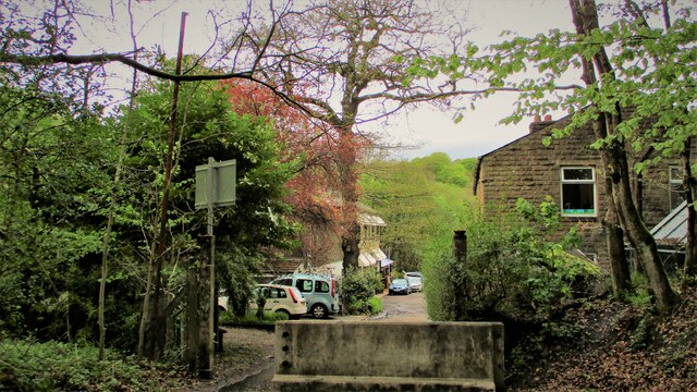
Broadley Fold is a small hamlet located in the county of Lancashire in northwestern England. Situated within the boundary of the Rossendale borough, it is nestled in the picturesque valley of the River Irwell, surrounded by rolling hills and lush greenery. The hamlet is part of the larger village of Helmshore and is approximately 3 miles northwest of the town of Rawtenstall.
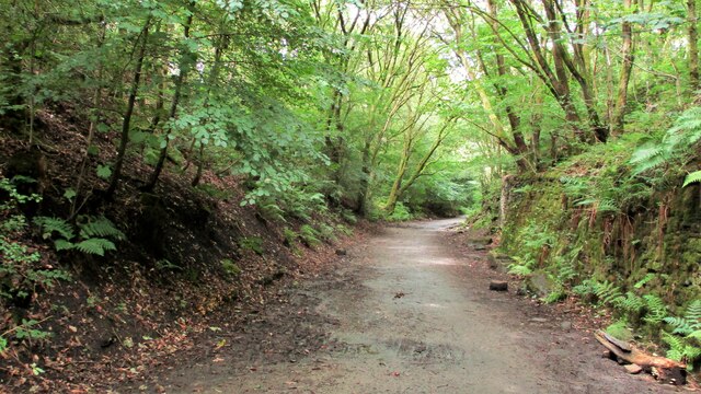
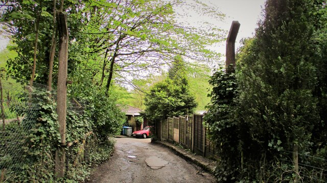
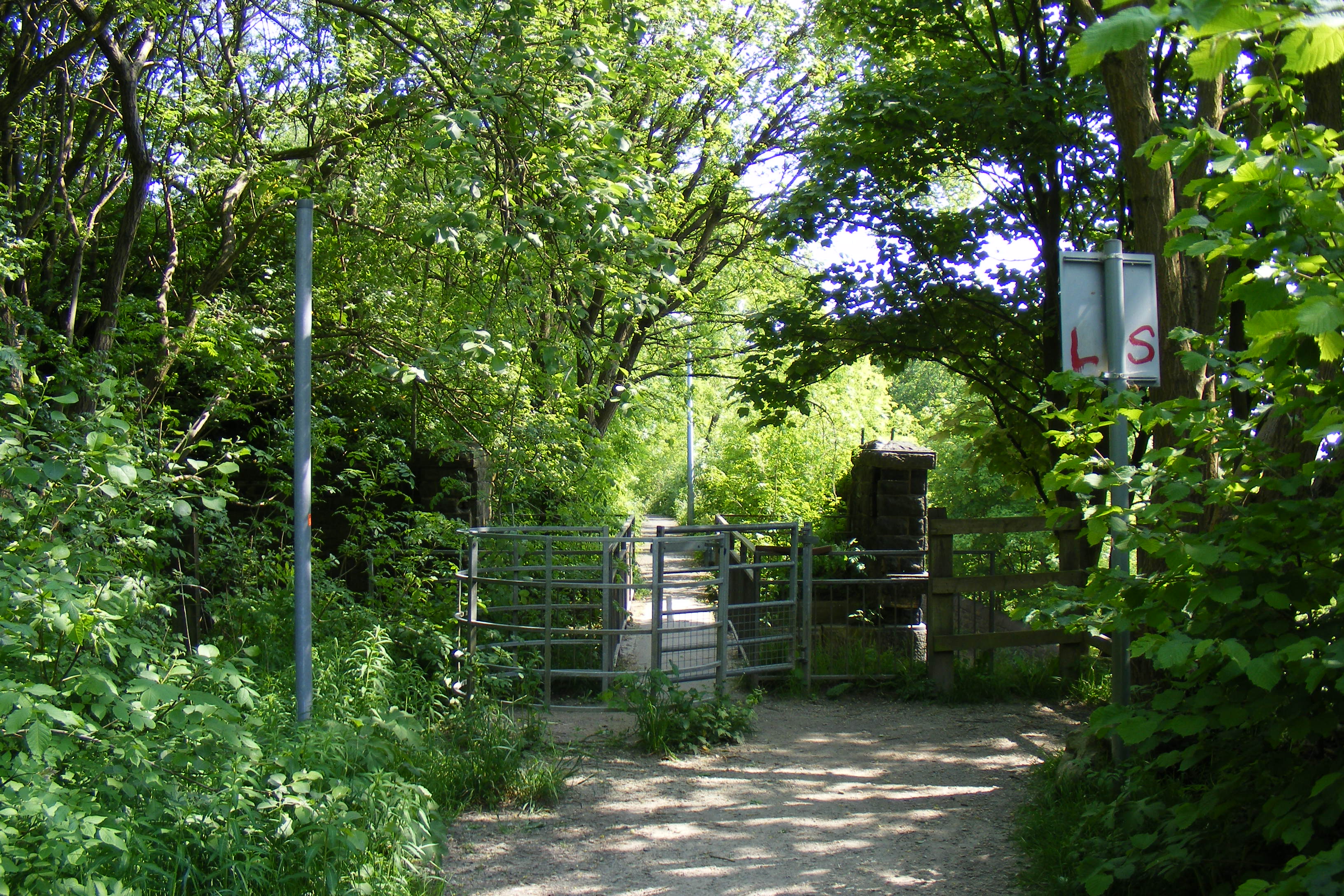
Broadley Fold is characterized by its rural and tranquil setting, making it an ideal location for those seeking a peaceful retreat away from the hustle and bustle of city life. The area is predominantly residential, with a small number of houses and cottages scattered throughout the hamlet. The architecture in Broadley Fold is a mix of traditional stone-built properties and more modern constructions.
While the hamlet itself does not boast many amenities, it benefits from its close proximity to Helmshore, where residents can find a range of facilities including shops, schools, and leisure activities. The surrounding countryside offers ample opportunities for outdoor pursuits, such as hiking, cycling, and fishing. The nearby district of Rossendale also provides access to a wider range of services and amenities.
Overall, Broadley Fold is a charming and idyllic rural hamlet, offering a peaceful and picturesque setting for its residents. Its location in the heart of Lancashire's countryside provides the perfect backdrop for those who appreciate nature and a slower pace of life.
If you have any feedback on the listing, please let us know in the comments section below.
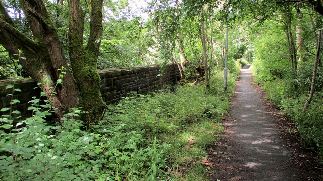
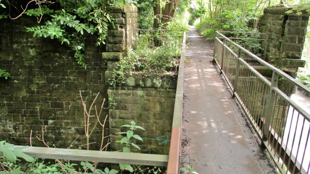
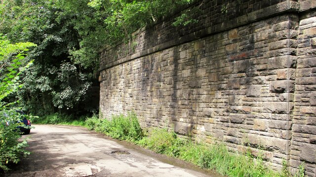
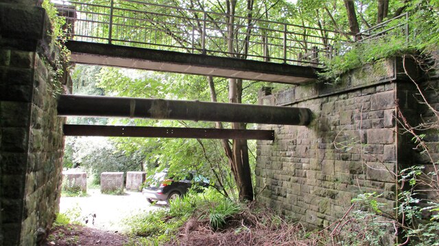
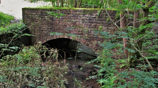
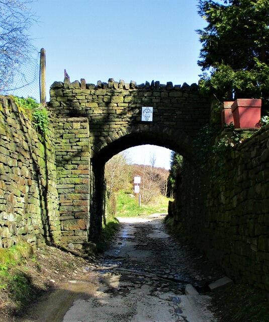
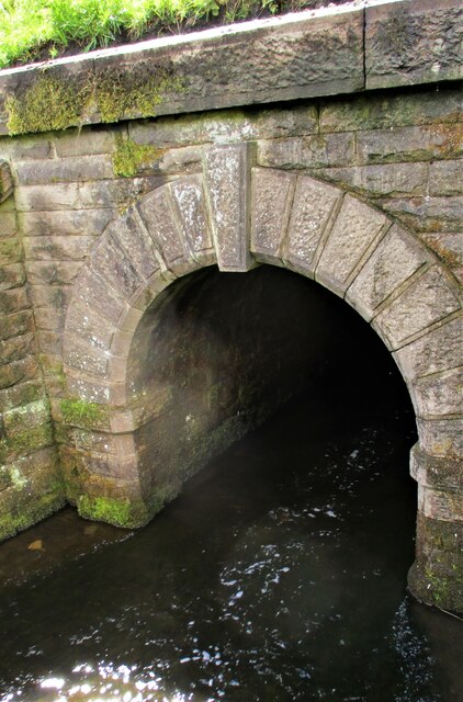
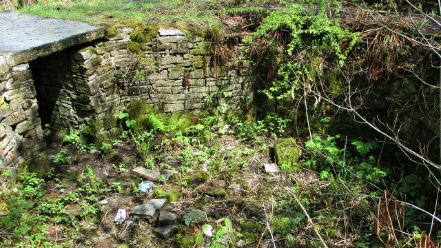
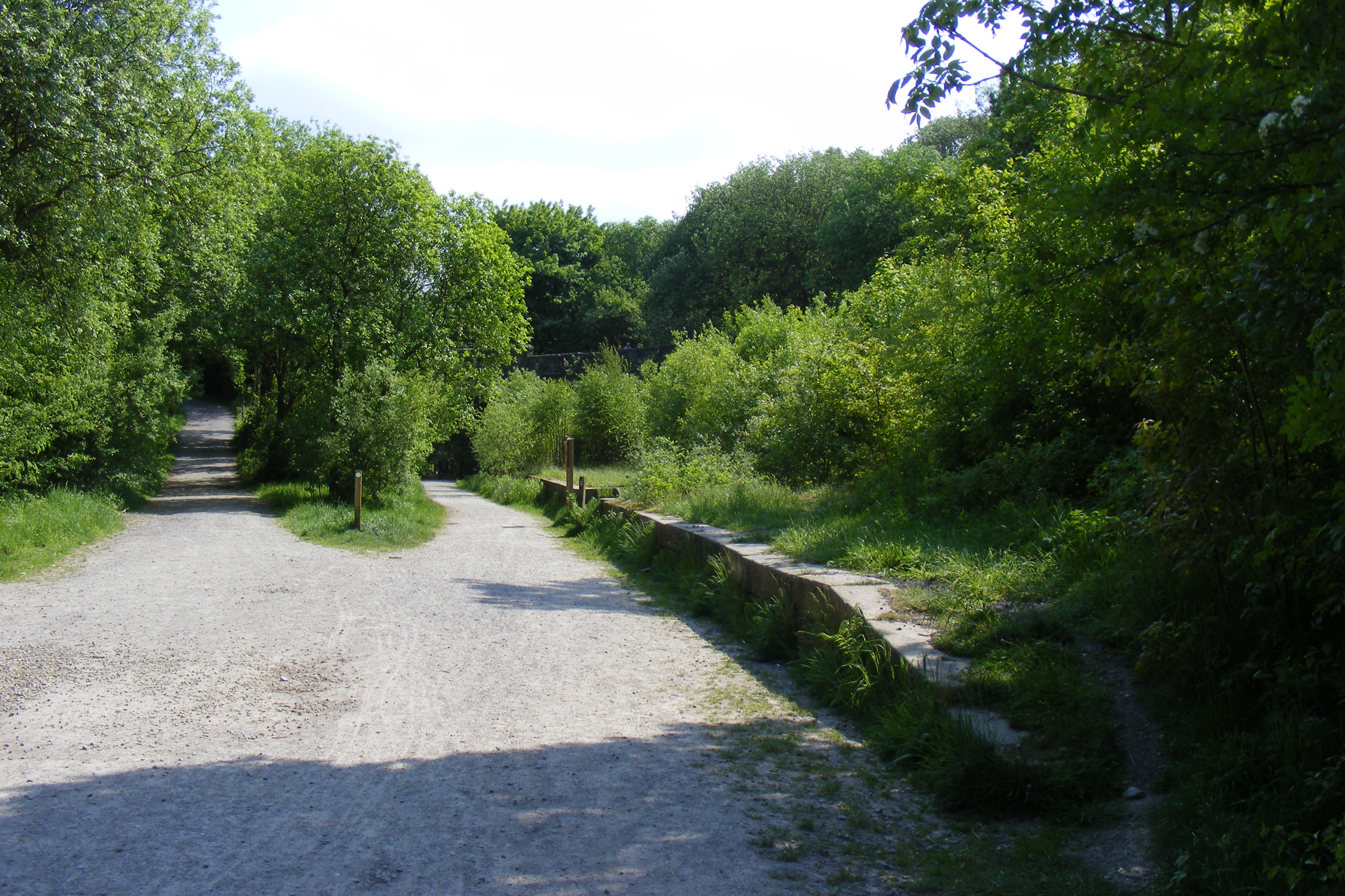
Broadley Fold Images
Images are sourced within 2km of 53.645641/-2.1890045 or Grid Reference SD8716. Thanks to Geograph Open Source API. All images are credited.
Broadley Fold is located at Grid Ref: SD8716 (Lat: 53.645641, Lng: -2.1890045)
Unitary Authority: Rochdale
Police Authority: Greater Manchester
What 3 Words
///frosted.heats.risk. Near Whitworth, Lancashire
Nearby Locations
Related Wikis
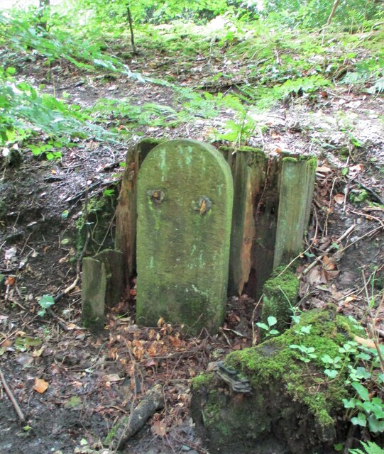
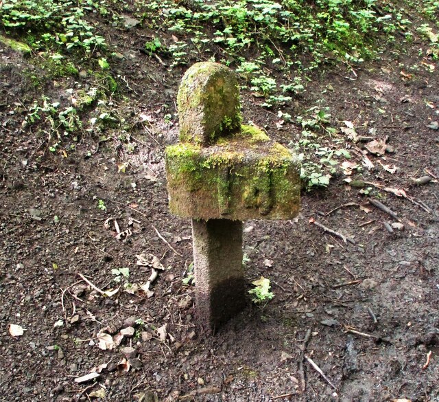
Broadley railway station
Broadley railway station served Broadley in Rochdale, England, from 1870 until closure in 1947. It was situated at Healey Dell. == References == Lost Railways...
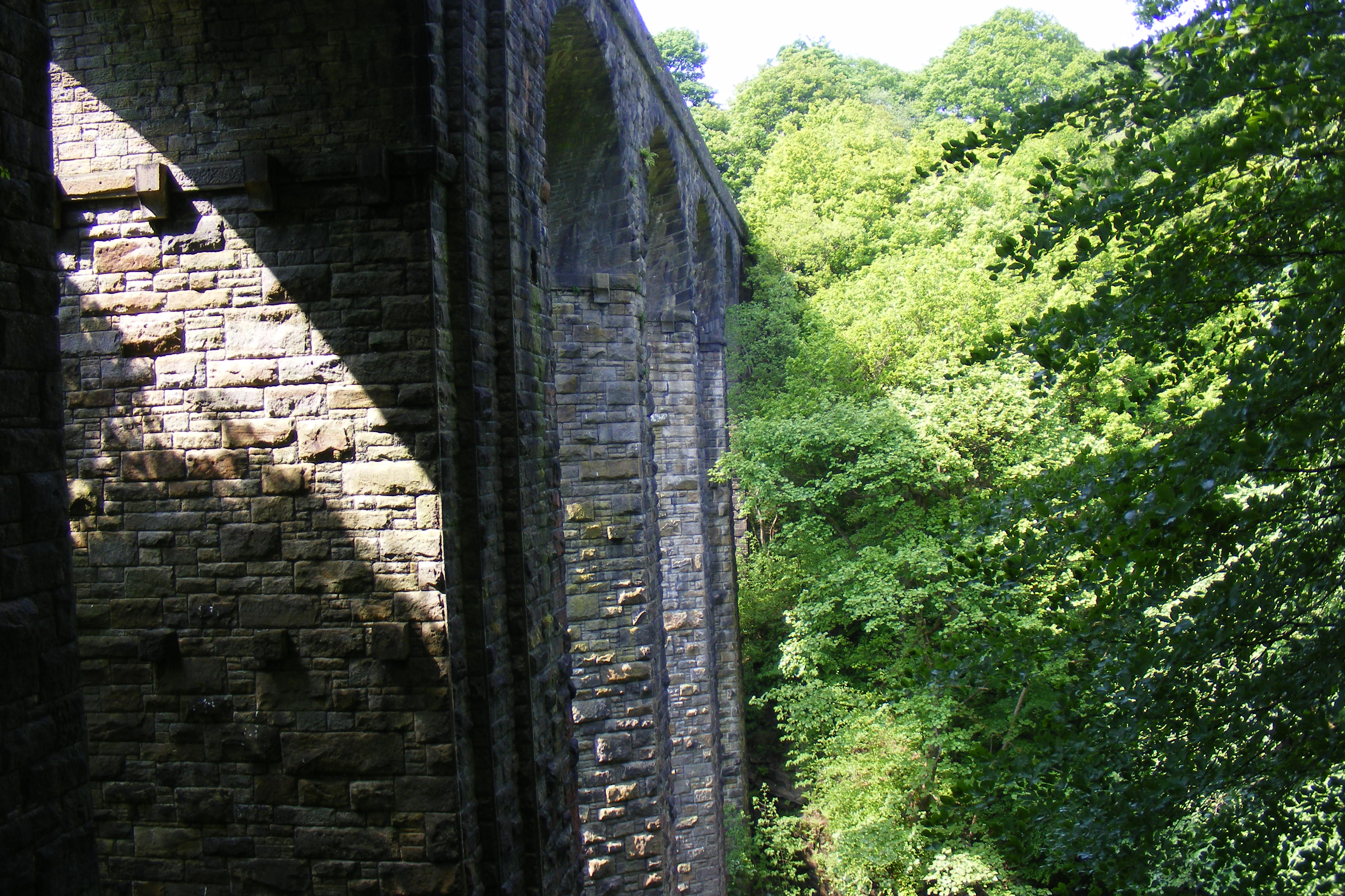
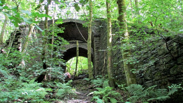
Healey Dell Viaduct
Healey Dell Viaduct is a viaduct situated in Healey Dell Nature Reserve in the Spodden Valley, on the outskirts of Rochdale in Greater Manchester, England...

Healey, Greater Manchester
Healey is part of the Metropolitan Borough of Rochdale, Greater Manchester, England. Historically part of Lancashire, it includes Shawclough, Syke and...

Whitworth railway station
Whitworth railway station served the town of Whitworth, Rossendale, Lancashire, England, from 1870 until closure in 1947. == References == Lost Railways...
Shawclough and Healey railway station
Shawclough & Healey railway station served the townships of Shawclough and Healey in Rochdale, in the Metropolitan Borough of Rochdale in Greater Manchester...

Whitworth, Lancashire
Whitworth is a town and civil parish in Rossendale, Lancashire, England, amongst the foothills of the Pennines between Bacup, to the north, and Rochdale...

Shawclough
Shawclough is a mainly residential area north of Rochdale, Greater Manchester, England. Its boundaries are roughly Whitworth Road, Shawclough Road, and...

Greenbooth Reservoir
Greenbooth Reservoir is a reservoir to the north of Heywood and close to Norden in the Metropolitan Borough of Rochdale, within Greater Manchester, England...
Nearby Amenities
Located within 500m of 53.645641,-2.1890045Have you been to Broadley Fold?
Leave your review of Broadley Fold below (or comments, questions and feedback).