South Perrott
Civil Parish in Dorset West Dorset
England
South Perrott
South Perrott is a small civil parish situated in the county of Dorset, England. It is located approximately 5 miles northwest of the town of Beaminster and 15 miles southwest of Yeovil. The parish covers an area of about 7 square kilometers and is home to a population of around 300 residents.
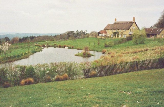
The village of South Perrott is characterized by its picturesque rural setting, surrounded by rolling hills and farmland. It boasts a charming mix of traditional thatched cottages and more modern houses, giving it a unique and timeless appeal. The parish is known for its beautiful countryside, with numerous walking paths and trails that offer stunning views of the surrounding landscape.
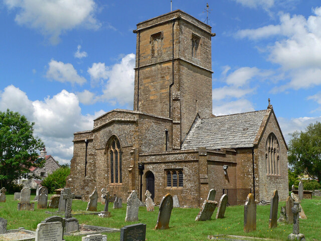
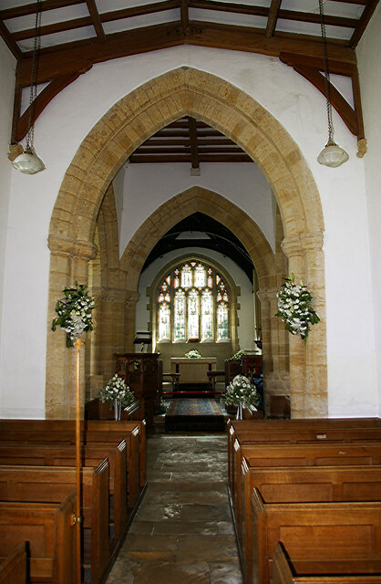
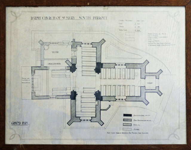
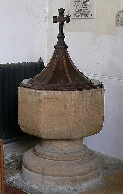
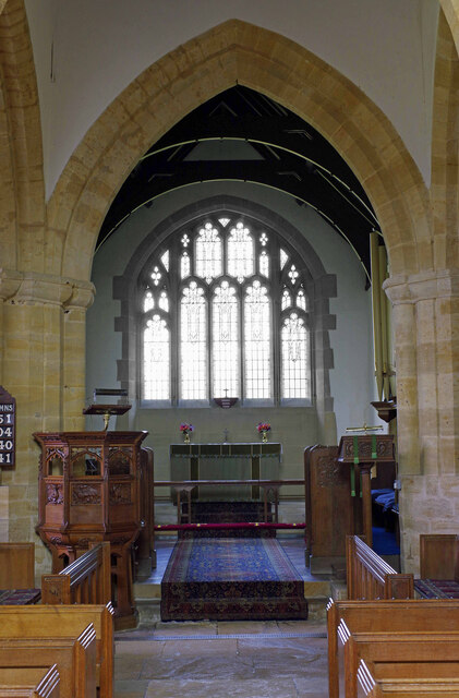
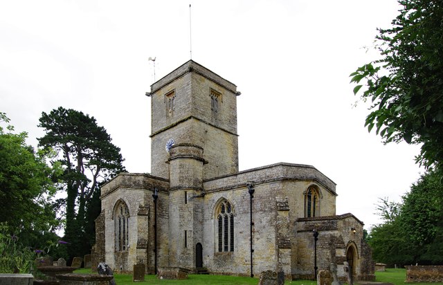
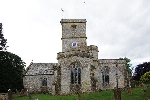
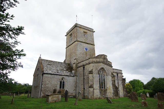
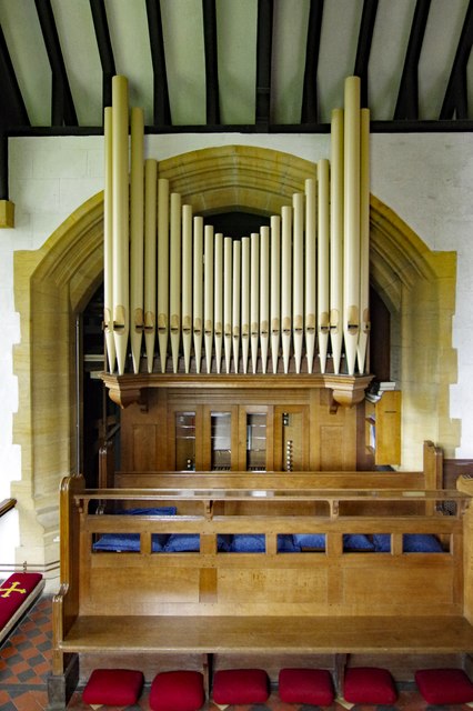
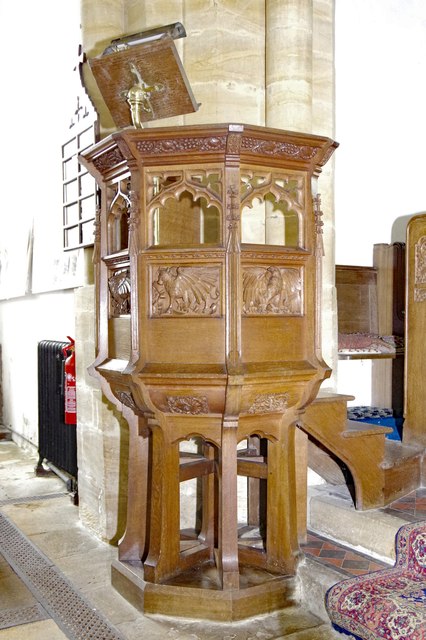
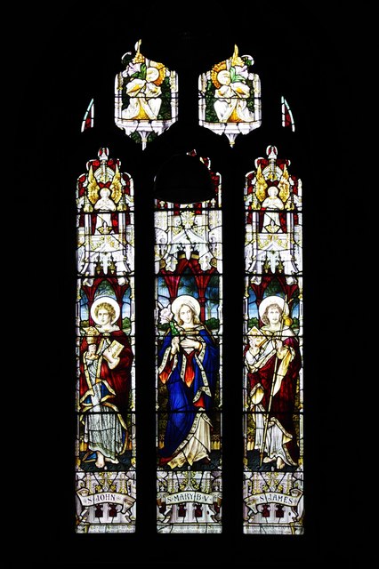
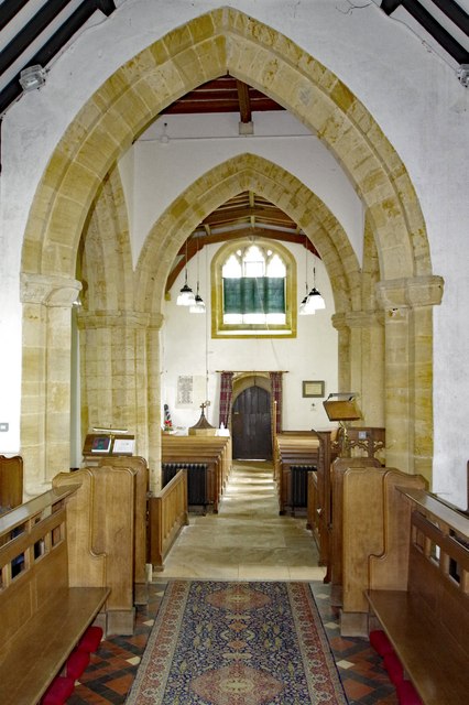
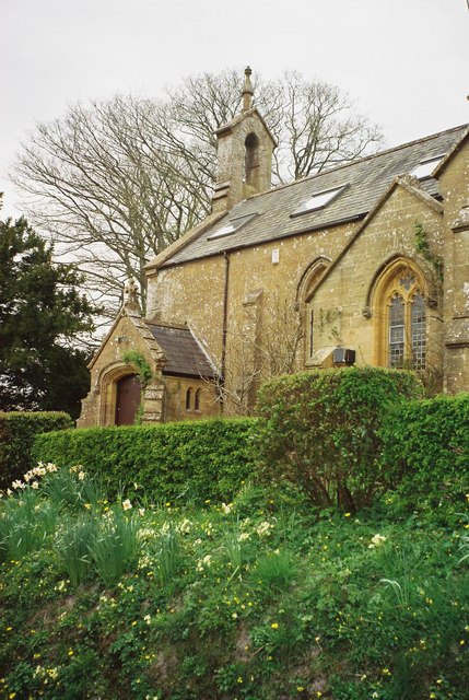
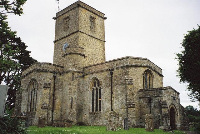
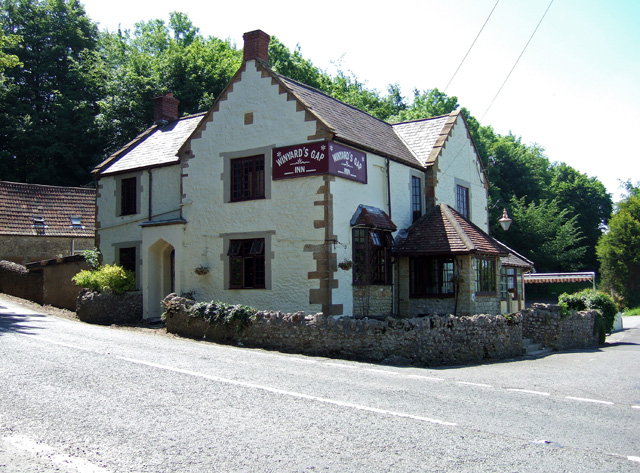
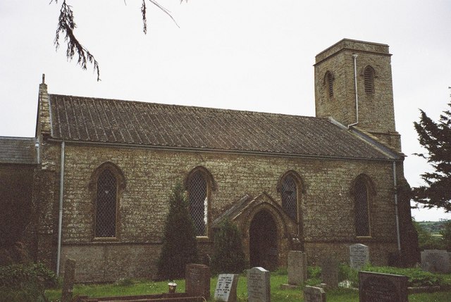
The village is home to St. Mary's Church, a Grade I listed building dating back to the 13th century. The church is a prominent feature of the village and serves as a hub for religious and community activities. Additionally, there is a local pub, The Chetnole Inn, which provides a welcoming atmosphere for locals and visitors alike.
South Perrott is well-connected to neighboring towns and villages, with good road links to Beaminster, Yeovil, and other nearby settlements. The parish also benefits from a strong sense of community, with various local events and gatherings taking place throughout the year.
Overall, South Perrott offers a tranquil and idyllic setting for those seeking a peaceful countryside lifestyle, while still being within easy reach of amenities and larger towns.
If you have any feedback on the listing, please let us know in the comments section below.
South Perrott Images
Images are sourced within 2km of 50.857977/-2.741404 or Grid Reference ST4706. Thanks to Geograph Open Source API. All images are credited.

South Perrott is located at Grid Ref: ST4706 (Lat: 50.857977, Lng: -2.741404)
Administrative County: Dorset
District: West Dorset
Police Authority: Dorset
What 3 Words
///caps.meatballs.footsteps. Near Crewkerne, Somerset
Nearby Locations
Related Wikis

South Perrott
South Perrott is a village and civil parish in northwest Dorset, England, 2 miles (3.2 km) southeast of Crewkerne. In 2012 the estimated population of...

Chedington
Chedington is a small village and civil parish in west Dorset, England, situated near the A356 road 4 miles (6.4 km) southeast of Crewkerne in Somerset...

Mosterton
Mosterton is a village and civil parish in Dorset, England, situated approximately 3 miles (4.8 km) north of Beaminster. In the 2011 census the parish...
St Mary's Church, Mosterton
St Mary's Church is a Church of England parish church in Mosterton, Dorset, England. The church was designed by Edmund Pearce and built in 1832–33 to replace...
Nearby Amenities
Located within 500m of 50.857977,-2.741404Have you been to South Perrott?
Leave your review of South Perrott below (or comments, questions and feedback).