Symes's Hill
Hill, Mountain in Dorset
England
Symes's Hill

Symes's Hill, also known as Symondsbury Hill, is a prominent geographical feature located in Dorset, England. It is not classified as a mountain but rather a hill, standing at an elevation of 151 meters (495 feet) above sea level. The hill is situated near the village of Symondsbury, approximately 2.5 miles southwest of Bridport.
Symes's Hill offers stunning panoramic views of the surrounding countryside, including the picturesque Marshwood Vale and the English Channel. The hill is characterized by its gentle slopes and grassy terrain, making it a popular spot for outdoor activities such as walking, hiking, and picnicking. The area is rich in natural beauty, featuring a diverse range of flora and fauna.
At the summit of Symes's Hill, visitors can find an Iron Age hillfort. This ancient fortification, dating back to around 600 BC, is believed to have served as a defensive structure for the local community. The hillfort consists of earthworks and ditches, offering an intriguing glimpse into the region's ancient history.
Symes's Hill is easily accessible, with various footpaths leading to its summit from the nearby village. Visitors can enjoy a leisurely walk through the countryside, taking in the stunning views as they ascend to the top. The hill is a popular destination for locals and tourists alike, providing a peaceful and scenic escape from the hustle and bustle of everyday life.
If you have any feedback on the listing, please let us know in the comments section below.
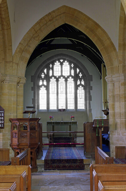
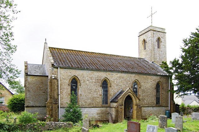
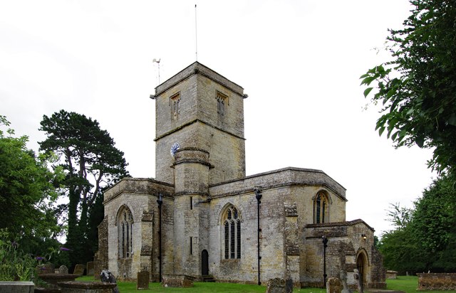
Symes's Hill Images
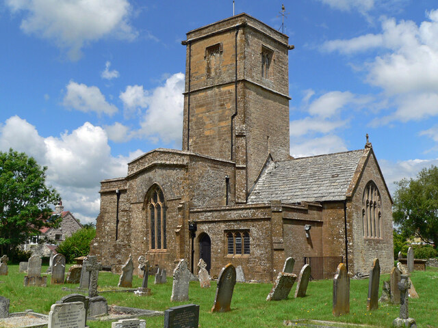
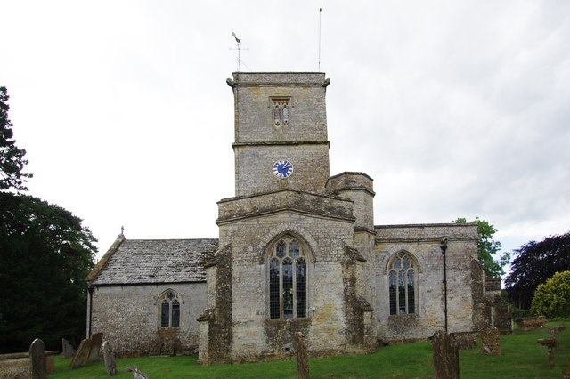
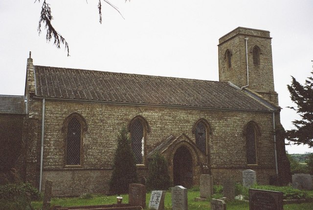
Images are sourced within 2km of 50.852186/-2.7496007 or Grid Reference ST4706. Thanks to Geograph Open Source API. All images are credited.


Symes's Hill is located at Grid Ref: ST4706 (Lat: 50.852186, Lng: -2.7496007)
Unitary Authority: Dorset
Police Authority: Dorset
What 3 Words
///overgrown.soccer.markets. Near Crewkerne, Somerset
Nearby Locations
Related Wikis

South Perrott
South Perrott is a village and civil parish in northwest Dorset, England, 2 miles (3.2 km) southeast of Crewkerne. In 2012 the estimated population of...

Mosterton
Mosterton is a village and civil parish in Dorset, England, situated approximately 3 miles (4.8 km) north of Beaminster. In the 2011 census the parish...
St Mary's Church, Mosterton
St Mary's Church is a Church of England parish church in Mosterton, Dorset, England. The church was designed by Edmund Pearce and built in 1832–33 to replace...

Chedington
Chedington is a small village and civil parish in west Dorset, England, situated near the A356 road 4 miles (6.4 km) southeast of Crewkerne in Somerset...
Nearby Amenities
Located within 500m of 50.852186,-2.7496007Have you been to Symes's Hill?
Leave your review of Symes's Hill below (or comments, questions and feedback).