Perrott, South
Settlement in Dorset
England
Perrott, South
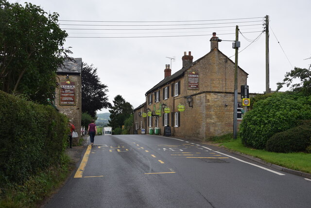
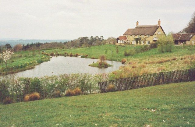
Perrott is a small village located in the South of Dorset, England. Situated in the picturesque countryside, it is surrounded by rolling hills and lush green landscapes. The village is part of the local government district of West Dorset.
With a population of around 500 residents, Perrott maintains its rural charm and tranquility. The village primarily consists of traditional cottages and houses, many of which boast beautiful gardens and well-preserved architecture. The area is known for its sense of community, with regular village events and activities organized throughout the year.
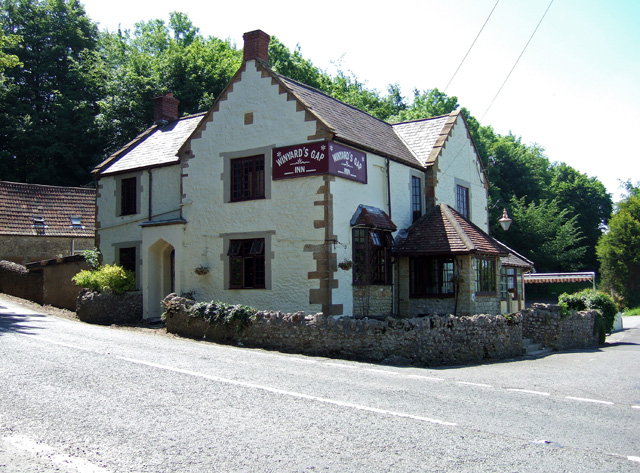
Perrott is home to a few amenities that cater to the needs of its residents. These include a local pub, which serves as a gathering place for locals and visitors alike. The pub often hosts live music events and offers a selection of traditional British dishes. Additionally, there is a village shop that provides essential groceries and daily necessities.
For outdoor enthusiasts, Perrott offers ample opportunities to explore the stunning countryside. There are several walking and cycling routes in the area, allowing residents and visitors to fully immerse themselves in the natural beauty of Dorset. The village is also within close proximity to the Jurassic Coast, a UNESCO World Heritage Site renowned for its geological significance and stunning cliffs.
Overall, Perrott, South, Dorset is a charming village that offers a peaceful retreat for those seeking a slower pace of life amidst idyllic rural surroundings.
If you have any feedback on the listing, please let us know in the comments section below.
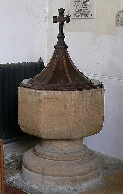
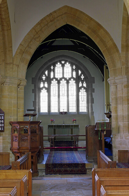
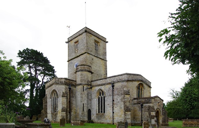
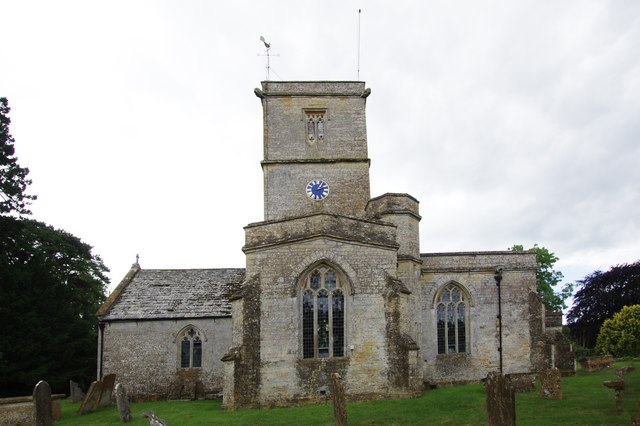
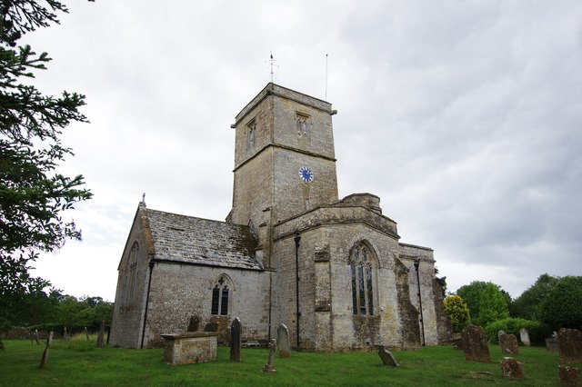
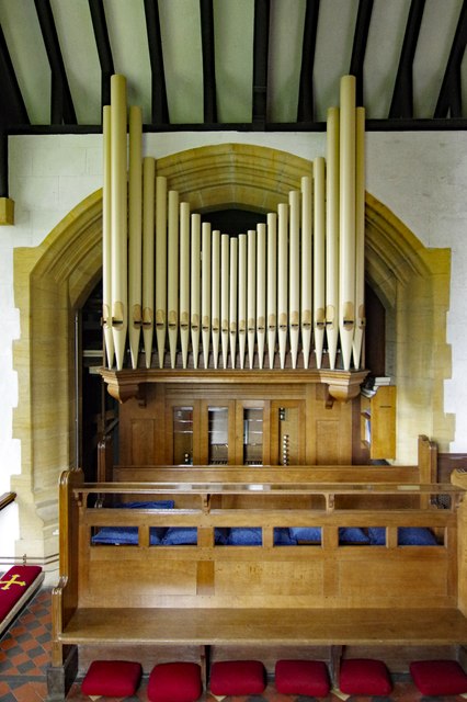
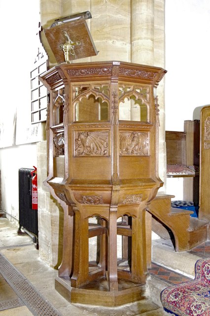
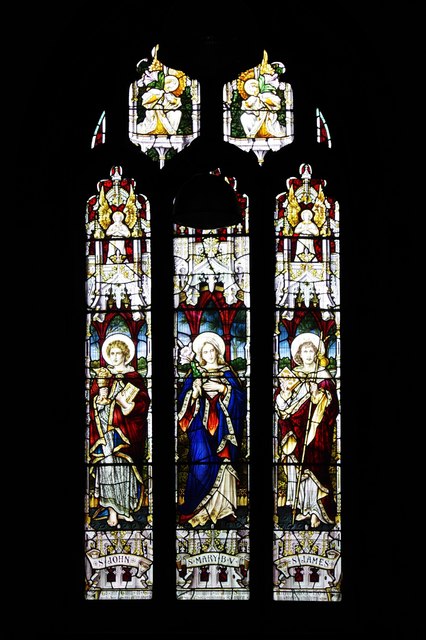
Perrott, South Images
Images are sourced within 2km of 50.859019/-2.7498382 or Grid Reference ST4706. Thanks to Geograph Open Source API. All images are credited.

Perrott, South is located at Grid Ref: ST4706 (Lat: 50.859019, Lng: -2.7498382)
Unitary Authority: Dorset
Police Authority: Dorset
What 3 Words
///resonates.recall.honeybees. Near Crewkerne, Somerset
Nearby Locations
Related Wikis

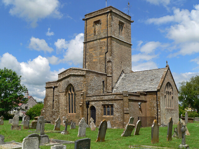
South Perrott
South Perrott is a village and civil parish in northwest Dorset, England, 2 miles (3.2 km) southeast of Crewkerne. In 2012 the estimated population of...
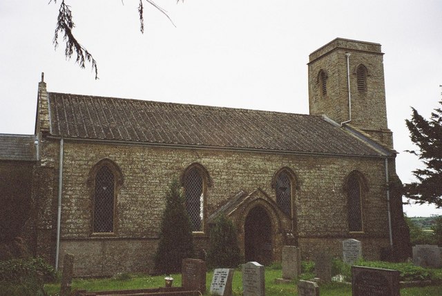
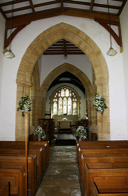
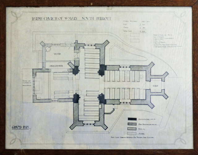
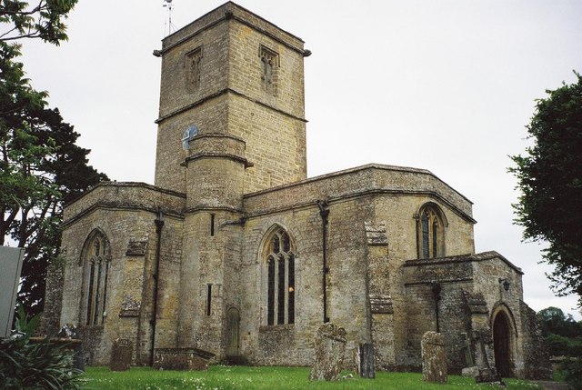
St Mary's Church, Mosterton
St Mary's Church is a Church of England parish church in Mosterton, Dorset, England. The church was designed by Edmund Pearce and built in 1832–33 to replace...

Mosterton
Mosterton is a village and civil parish in Dorset, England, situated approximately 3 miles (4.8 km) north of Beaminster. In the 2011 census the parish...

Chedington
Chedington is a small village and civil parish in west Dorset, England, situated near the A356 road 4 miles (6.4 km) southeast of Crewkerne in Somerset...
Nearby Amenities
Located within 500m of 50.859019,-2.7498382Have you been to Perrott, South?
Leave your review of Perrott, South below (or comments, questions and feedback).