Symes's Hill Copse
Wood, Forest in Dorset
England
Symes's Hill Copse

Symes's Hill Copse is a picturesque woodland located in the county of Dorset, England. Nestled amidst the beautiful countryside, this copse stretches across an area of approximately 20 acres. It is situated on a gentle slope, offering visitors stunning views of the surrounding landscape.
The copse is predominantly composed of deciduous trees, with a variety of species such as oak, ash, and beech dominating the area. The dense canopy formed by these trees provides a cool and shaded environment, making it an ideal spot for leisurely walks or picnics on hot summer days.
Symes's Hill Copse is home to a diverse range of wildlife, including various bird species, small mammals, and insects. Nature enthusiasts can often spot woodpeckers, buzzards, and owls in the area. The copse also boasts a vibrant undergrowth, with wildflowers, ferns, and mosses adding a splash of color to the woodland floor.
This woodland has a rich history, with evidence of human activity dating back centuries. The copse was once part of an ancient hunting ground, and remnants of old boundaries and ditches can still be seen today. In addition, there are several well-preserved archaeological sites nearby, adding further intrigue to the area.
Access to Symes's Hill Copse is easy, with a well-maintained footpath leading visitors through the woodland. The copse is also a popular destination for nature education programs and guided walks, offering visitors the opportunity to learn about the unique flora and fauna found in this enchanting woodland.
If you have any feedback on the listing, please let us know in the comments section below.
Symes's Hill Copse Images
Images are sourced within 2km of 50.852457/-2.7508126 or Grid Reference ST4706. Thanks to Geograph Open Source API. All images are credited.


Symes's Hill Copse is located at Grid Ref: ST4706 (Lat: 50.852457, Lng: -2.7508126)
Unitary Authority: Dorset
Police Authority: Dorset
What 3 Words
///voice.octagon.engages. Near Crewkerne, Somerset
Nearby Locations
Related Wikis

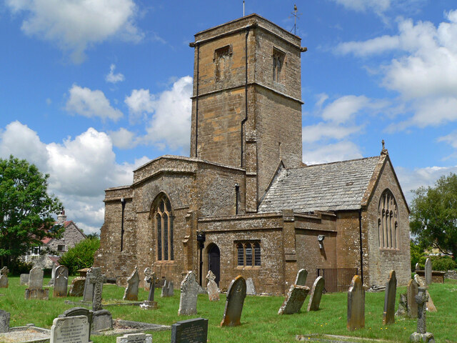
South Perrott
South Perrott is a village and civil parish in northwest Dorset, England, 2 miles (3.2 km) southeast of Crewkerne. In 2012 the estimated population of...

Mosterton
Mosterton is a village and civil parish in Dorset, England, situated approximately 3 miles (4.8 km) north of Beaminster. In the 2011 census the parish...
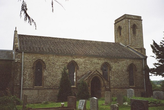
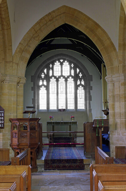
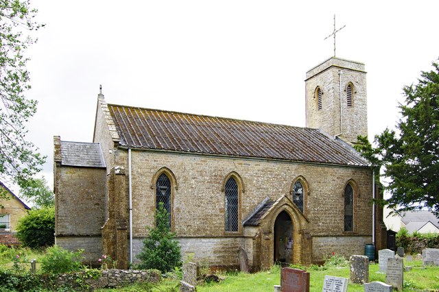
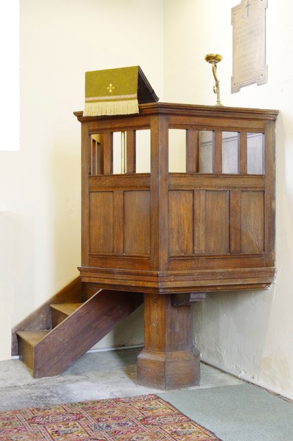
St Mary's Church, Mosterton
St Mary's Church is a Church of England parish church in Mosterton, Dorset, England. The church was designed by Edmund Pearce and built in 1832–33 to replace...

Chedington
Chedington is a small village and civil parish in west Dorset, England, situated near the A356 road 4 miles (6.4 km) southeast of Crewkerne in Somerset...
Nearby Amenities
Located within 500m of 50.852457,-2.7508126Have you been to Symes's Hill Copse?
Leave your review of Symes's Hill Copse below (or comments, questions and feedback).