North Rode

Civil Parish in Cheshire

England

North Rode

Lock along the Macclesfield Canal No 6 of the Bosley Locks.
Lock along the Macclesfield Canal Credit: steven ruffles

North Rode is a civil parish located in the county of Cheshire, England. Situated approximately 4 miles east of the town of Macclesfield, North Rode covers an area of about 4 square miles. The parish is part of the Macclesfield Borough and falls within the East Cheshire parliamentary constituency.

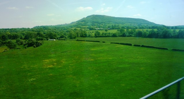
The village of North Rode is relatively small, with a population of around 400 residents. It is surrounded by picturesque countryside, offering stunning views of the Cheshire Plain. The area is known for its rural charm and tranquility, making it an attractive place for those seeking a peaceful lifestyle.

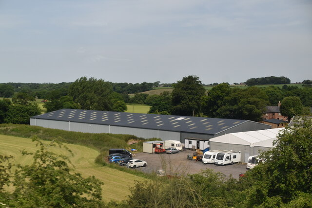
North Rode has a rich history, with evidence of human settlement dating back to prehistoric times. The village was mentioned in the Domesday Book of 1086, highlighting its long-standing existence. Over the centuries, North Rode has seen significant agricultural activity, with farming playing a vital role in the local economy.

One notable landmark in North Rode is the medieval All Saints' Church, which dates back to the 13th century. The church is known for its distinctive architecture and hosts regular religious services. Additionally, the parish is home to a primary school, providing education for local children.

Despite its rural setting, North Rode benefits from good transportation links. The A536 road passes through the parish, connecting it to nearby towns and cities. The village also has regular bus services, allowing residents to easily access amenities and services.

Overall, North Rode offers a charming countryside lifestyle, steeped in history and natural beauty. With its close-knit community and idyllic surroundings, it is a desirable place to live for those seeking a peaceful and picturesque setting.

If you have any feedback on the listing, please let us know in the comments section below.

North Rode Images

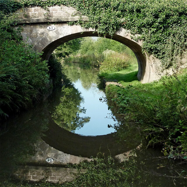
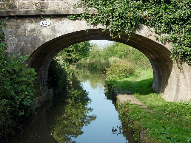
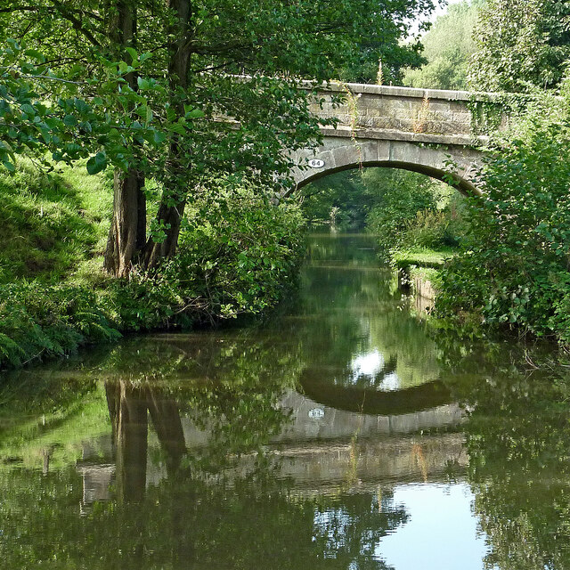
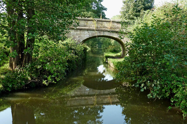
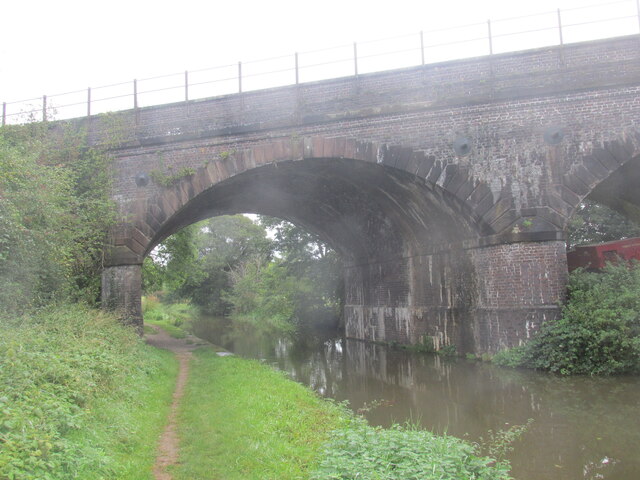
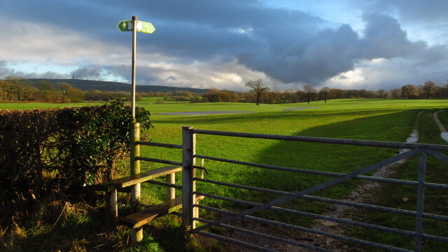
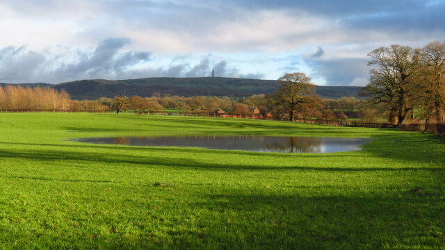
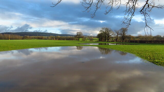
Images are sourced within 2km of 53.197528/-2.166588 or Grid Reference SJ8866. Thanks to Geograph Open Source API. All images are credited.

Lock along the Macclesfield Canal No 6 of the Bosley Locks.
Lock along the Macclesfield Canal
No 6 of the Bosley Locks.
Macclesfield Canal north-east of Congleton, Cheshire Looking west-north-west towards Congleton. Stanier 2nd Bridge, No 63 is just out of view ahead.
Macclesfield Canal north-east of Congleton, Cheshire
Looking west-north-west towards Congleton. Stanier 2nd Bridge, No 63 is just out of view ahead.
Macclesfield Canal north-east of Congleton, Cheshire Looking west-north-west towards Congleton. Stanier 2nd Bridge, No 63 is just out of view ahead.
Macclesfield Canal north-east of Congleton, Cheshire
Looking west-north-west towards Congleton. Stanier 2nd Bridge, No 63 is just out of view ahead.
Moored narrowboat near Congleton in Staffordshire This is the Macclesfield Canal west of Congleton Bridge, No 61.
Moored narrowboat near Congleton in Staffordshire
This is the Macclesfield Canal west of Congleton Bridge, No 61.
Stanier 2nd Bridge near Congleton, Cheshire Stanier 2nd Bridge is No 63 across the Macclesfield Canal north-east of Congleton. It is a farmer's accommodation bridge with no public right of way across it or into adjacent fields.
Stanier 2nd Bridge near Congleton, Cheshire
Stanier 2nd Bridge is No 63 across the Macclesfield Canal north-east of Congleton. It is a farmer's accommodation bridge with no public right of way across it or into adjacent fields.
Macclesfield Canal at Stanier No 2 Bridge near Congleton Stanier 2nd Bridge is No 63 across the Macclesfield Canal north-east of Congleton. It is a farmer's accommodation bridge with no public right of way across it or into adjacent fields.
Macclesfield Canal at Stanier No 2 Bridge near Congleton
Stanier 2nd Bridge is No 63 across the Macclesfield Canal north-east of Congleton. It is a farmer's accommodation bridge with no public right of way across it or into adjacent fields.
Pearson Bridge north-east of Congleton, Cheshire Pearson Bridge is No 64 across the Macclesfield Canal north-east of Congleton. It is a farmer's accommodation bridge with no public right of way across it or into adjacent fields.
Pearson Bridge north-east of Congleton, Cheshire
Pearson Bridge is No 64 across the Macclesfield Canal north-east of Congleton. It is a farmer's accommodation bridge with no public right of way across it or into adjacent fields.
Railway across the Macclesfield Canal A walk in Cheshire.
Railway across the Macclesfield Canal
A walk in Cheshire.
Footpath to North Rode at Rodegreen
Flooded field by Shellow Lane, Gawsworth
Rodegreen & Pexall Rd
North Rode Church & Yew Tree Farm
Mile Marker, Macclesfield Canal Milestone on the bank of the towpath. In the parish of Congleton.

Inscription: ¼ 

Milestone Society National ID: MAC-18¼
Mile Marker, Macclesfield Canal
Milestone on the bank of the towpath. In the parish of Congleton. Inscription: ¼ Milestone Society National ID: MAC-18¼
Mile Marker, Macclesfield Canal Milestone on the bank of the towpath. In the parish of Congleton West of bridge 62.

Inscription: ½ 

Milestone Society National ID: MAC-18½
Mile Marker, Macclesfield Canal
Milestone on the bank of the towpath. In the parish of Congleton West of bridge 62. Inscription: ½ Milestone Society National ID: MAC-18½
Crossley Stud Farm
Crossley Stud Farm
Fields south of the River Dane Taken from southbound railway line. 'The Cloud' visible in background
Fields south of the River Dane
Taken from southbound railway line. 'The Cloud' visible in background
Show me another place!

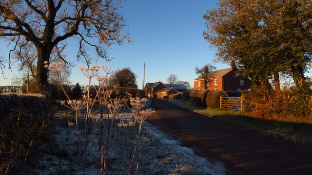
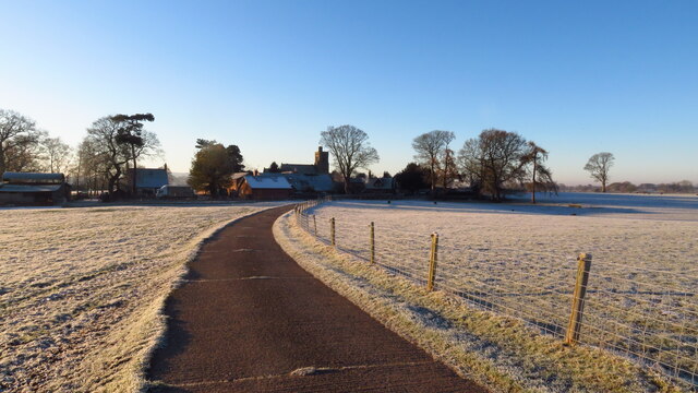
North Rode is located at Grid Ref: SJ8866 (Lat: 53.197528, Lng: -2.166588)

Unitary Authority: Cheshire East

Police Authority: Cheshire

What 3 Words

///formal.playful.punctuate. Near Eaton, Cheshire

Related Wikis

North Rode

North Rode is a small village and civil parish in the unitary authority of Cheshire East and the ceremonial county of Cheshire, England. According to the...

St Michael's Church, North Rode

St Michael's Church is in Church Lane, North Rode, Cheshire, England. It is an active Anglican parish church in the deanery of Macclesfield, the archdeaconry...
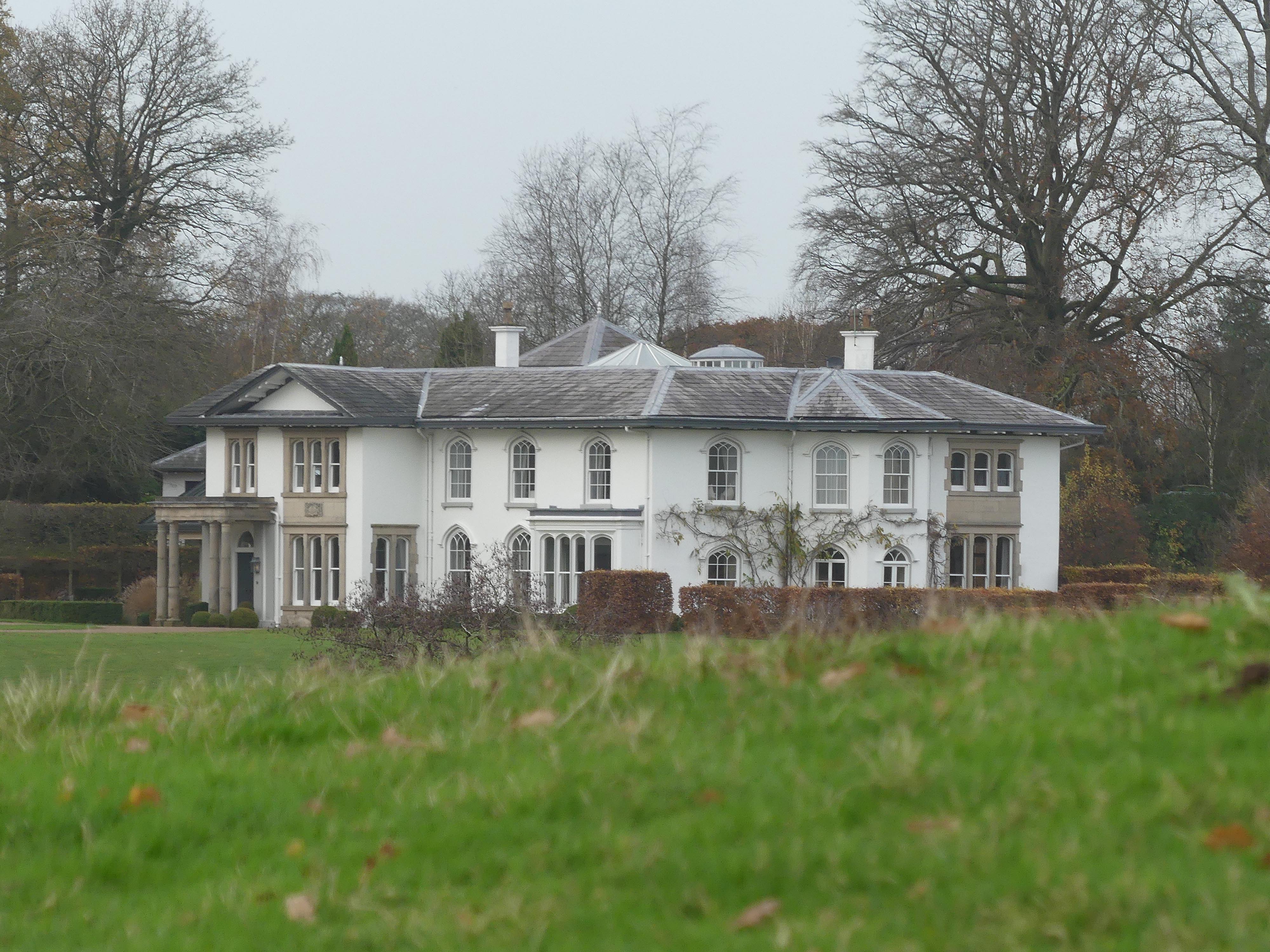
North Rode Manor

North Rode Manor is a country house standing to the north of the village of North Rode, Cheshire, England. The house was built between 1838 and 1840 for...

North Rode railway station

North Rode railway station originally North Rode junction served the village of North Rode, Cheshire. The station was opened by the North Staffordshire...
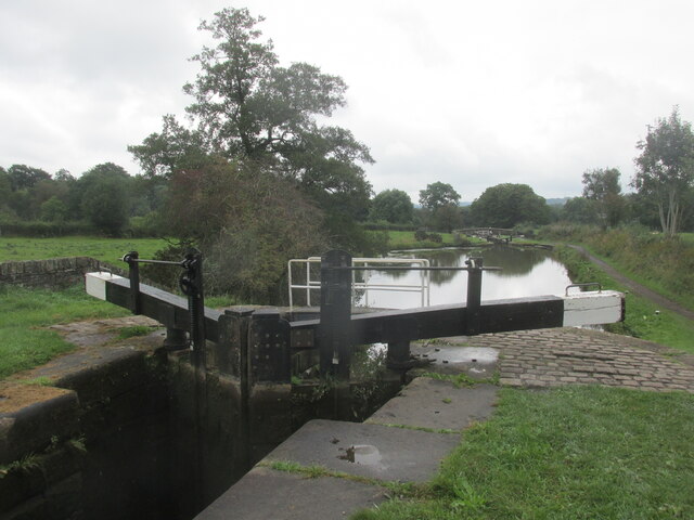
Bosley Lock Flight

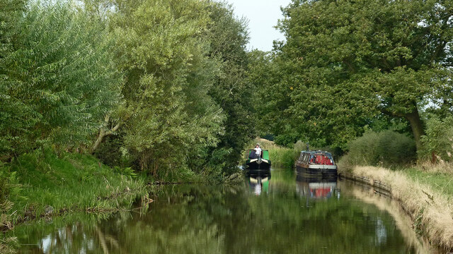
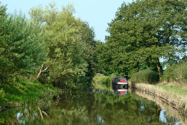
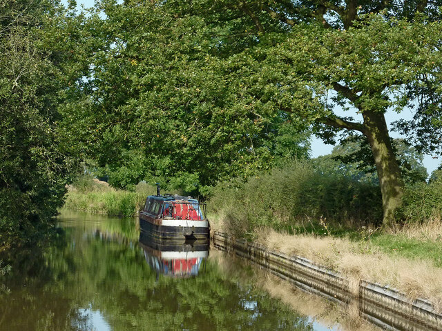
Bosley Lock Flight (grid reference SJ904662) is a flight of twelve canal locks, situated on the Macclesfield Canal at Bosley, near Macclesfield, Cheshire...

Gawsworth

Gawsworth is a civil parish and village in the unitary authority of Cheshire East and the ceremonial county of Cheshire, England. The population of the...

Buglawton Hall

Buglawton Hall is a former country house, later a school, to the northeast of Buglawton, a suburb of Congleton, Cheshire, England. == Architecture == The...

Eaton, Cheshire East

Eaton is a village and civil parish in the unitary authority of Cheshire East and the ceremonial county of Cheshire, England. According to the 2001 census...
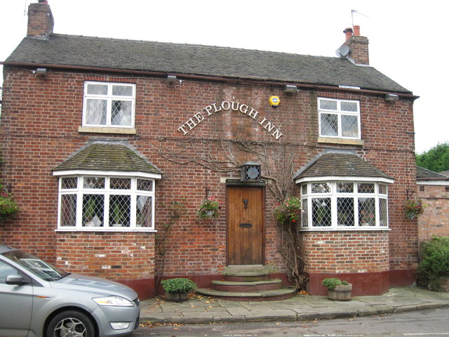
Nearby Amenities

Located within 500m of 53.197528,-2.166588
Post Box
Royal Cypher: EIIR
Royal Cypher Wikidata: Q33102113
Lat/Long: 53.1957584/-2.167552
Bus Stop
North Rode, Church Lane / St Michael's Church
Bus: yes
Naptan AtcoCode: 0600MA19082
Naptan Bearing: SE
Naptan BusStopType: CUS
Naptan CommonName: St Michael's Church
Naptan Indicator: o/s
Naptan Landmark: St Michael's Church
Naptan LocalityName: North Rode
Naptan NaptanCode: chewmwa
Naptan ShortCommonName: St Michael's Church
Naptan Street: Church Lane
Naptan Verified: no
Network: Cheshire East Council
Operator: Ansa Transport
Public Transport: platform
Source: naptan_import
Lat/Long: 53.195595/-2.1672286
Yew Tree Farm
Place: locality
Lat/Long: 53.1963504/-2.1660671
North Rode
Place: hamlet
Wikidata: Q2077889
Wikipedia: en:North Rode
Lat/Long: 53.195512/-2.1663993
The data included in this document is from www.openstreetmap.org. The data is made available under ODbL.

Have you been to North Rode?

Leave your review of North Rode below (or comments, questions and feedback).