North Runcton
Civil Parish in Norfolk King's Lynn and West Norfolk
England
North Runcton
North Runcton is a civil parish located in the county of Norfolk, England. It is situated approximately 5 miles south-east of the historic town of King's Lynn. The parish covers an area of around 6 square kilometers and has a population of approximately 400 residents.
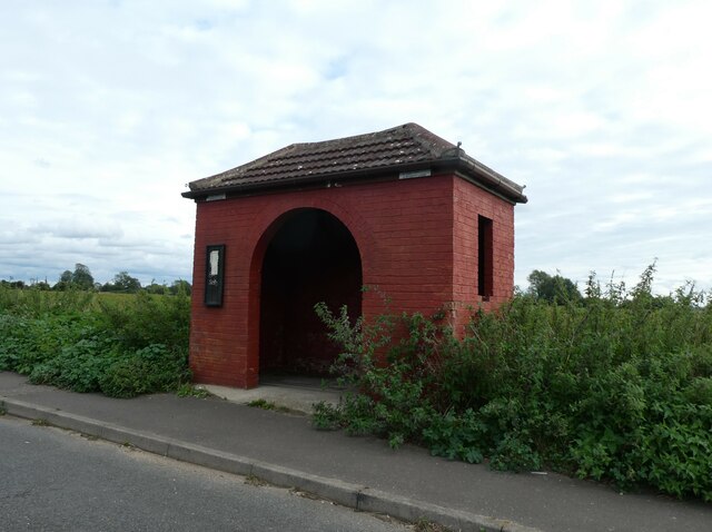
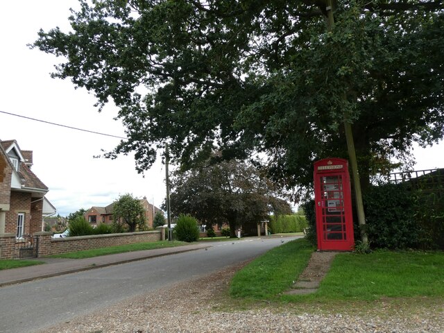
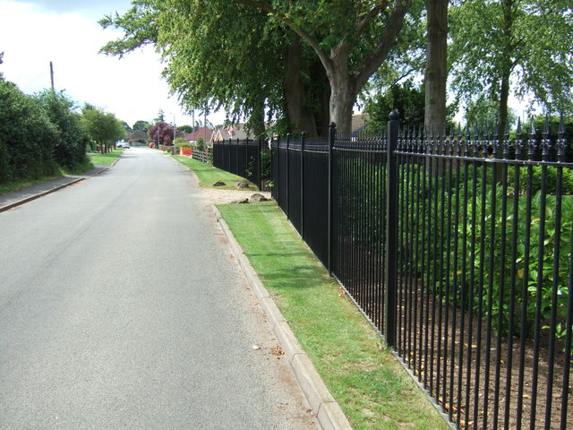
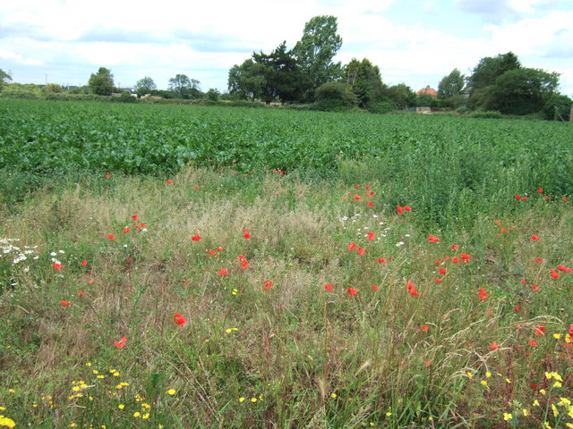
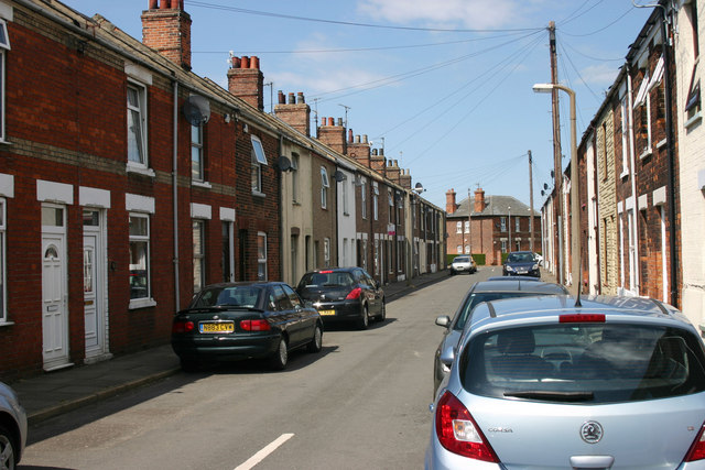
The village of North Runcton is characterized by its picturesque rural setting, surrounded by beautiful Norfolk countryside. It is predominantly a residential area, with a mix of traditional and modern housing. The village has a close-knit community, with a strong sense of local pride and community spirit.
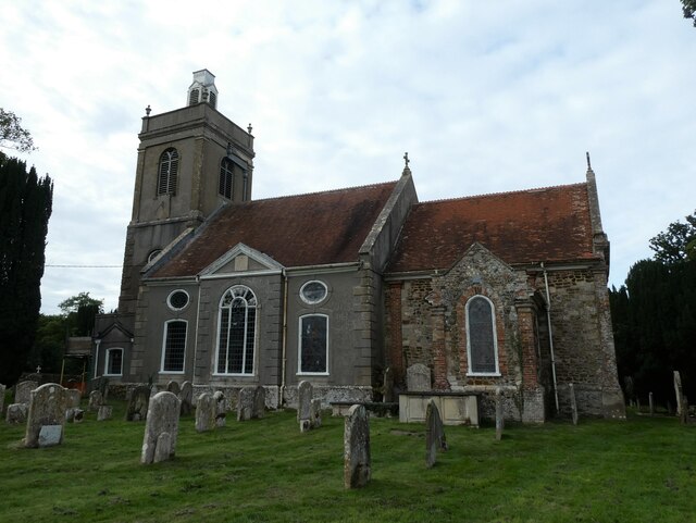
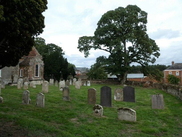
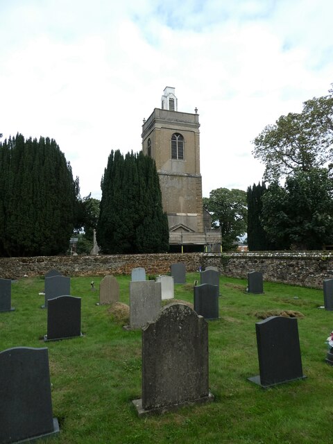
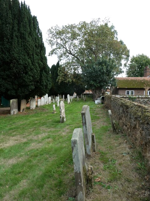
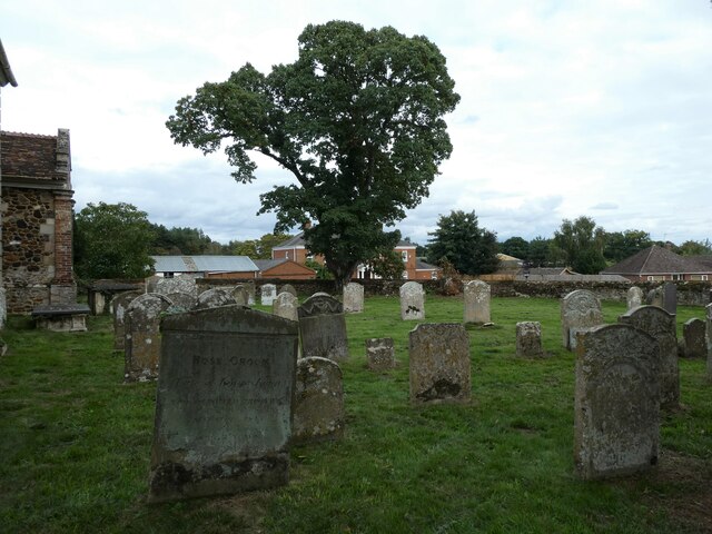
One of the notable features of North Runcton is its parish church, St. Andrew's Church, which dates back to the 12th century. The church is a Grade I listed building and is renowned for its stunning medieval architecture and impressive stained glass windows.
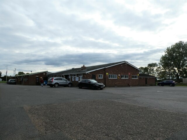
The village also benefits from a range of amenities and services to cater to the needs of its residents. These include a village hall, a primary school, a pub, and a community playing field. There are also several footpaths and bridleways in the area, providing opportunities for outdoor activities and exploring the surrounding countryside.
North Runcton is well-connected to nearby towns and cities, with good road links to King's Lynn and the A47, which connects to Norwich and Peterborough. This makes it an attractive location for commuters looking for a peaceful countryside retreat while still having easy access to urban amenities.
If you have any feedback on the listing, please let us know in the comments section below.
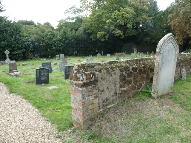
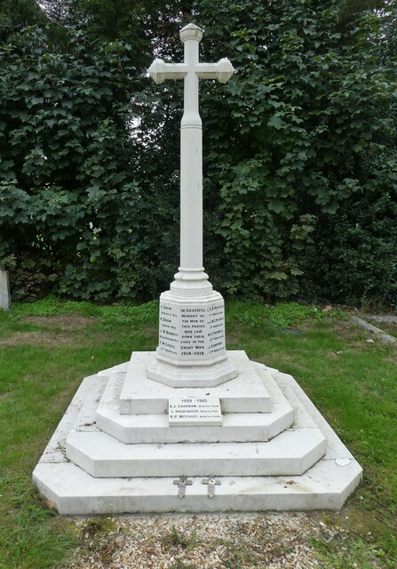
North Runcton Images
Images are sourced within 2km of 52.724337/0.428635 or Grid Reference TF6416. Thanks to Geograph Open Source API. All images are credited.


North Runcton is located at Grid Ref: TF6416 (Lat: 52.724337, Lng: 0.428635)
Administrative County: Norfolk
District: King's Lynn and West Norfolk
Police Authority: Norfolk
What 3 Words
///custodian.cured.pencil. Near King's Lynn, Norfolk
Nearby Locations
Related Wikis

North Runcton
North Runcton is a village and a civil parish in the English county of Norfolk. The village is 43.2 miles (69.5 km) west of Norwich, 4.3 miles (6.9 km...

West Winch Windmill
West Winch Windmill is located in the village of West Winch in the English county of Norfolk. West Winch is two miles south of King’s Lynn. The mill is...

West Winch
West Winch is a village and civil parish in the English county of Norfolk. It covers an area of 8.02 km2 (3.10 sq mi) and had a population of 2,596 in...

Middleton Mount
Middleton Mount, also called Middleton Motte and Middleton Castle, is the remains of a medieval castle situated in the village of Middleton, in Norfolk...
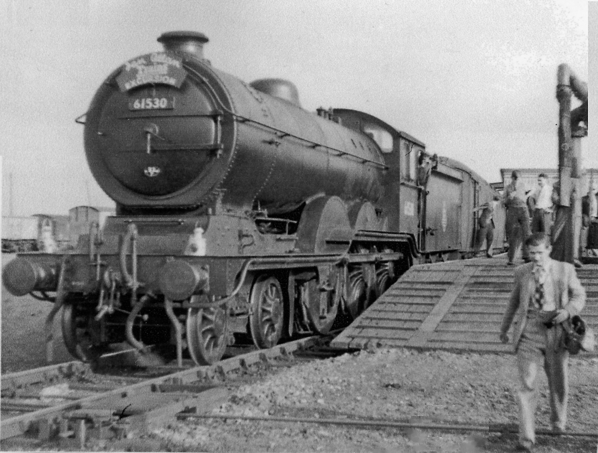
South Lynn railway station
South Lynn railway station was a railway station serving the areas of South Lynn and West Lynn in King's Lynn in Norfolk, England. The station was on the...

Middleton, Norfolk
Middleton is a village and civil parish in the English county of Norfolk. It covers an area of 5.02 sq mi (13.0 km2) and had a population of 1,516 in 621...

King's Lynn Stadium
King's Lynn Stadium, also known as the Adrian Flux Arena and previously as the Norfolk Arena, is a short oval stadium situated to the south of King's Lynn...
South Lynn
South Lynn is an area of King's Lynn, in the King's Lynn and West Norfolk district, in the county of Norfolk, England. It is located directly south of...
Nearby Amenities
Located within 500m of 52.724337,0.428635Have you been to North Runcton?
Leave your review of North Runcton below (or comments, questions and feedback).