North Rigton

Civil Parish in Yorkshire Harrogate

England

North Rigton

North Rigton Looking back towards the South East and Almscliff Crags
North Rigton Credit: Mick Melvin

North Rigton is a civil parish located in the Harrogate district of the county of Yorkshire, in the northern part of England. It is situated about 8 miles northwest of the town of Harrogate and approximately 15 miles north of the city of Leeds. The parish covers an area of around 4 square miles and has a population of around 400 residents.

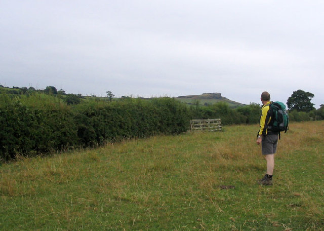
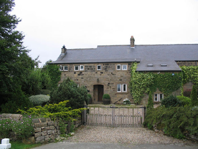
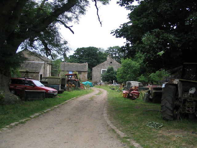
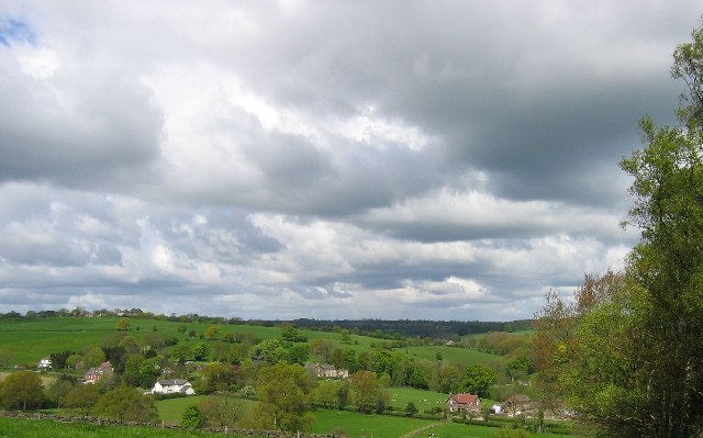
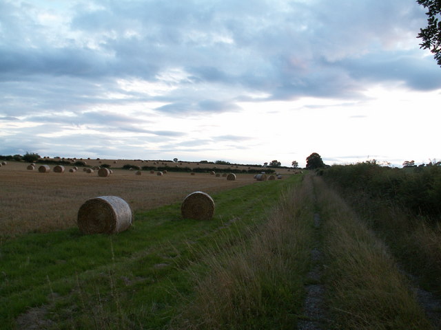
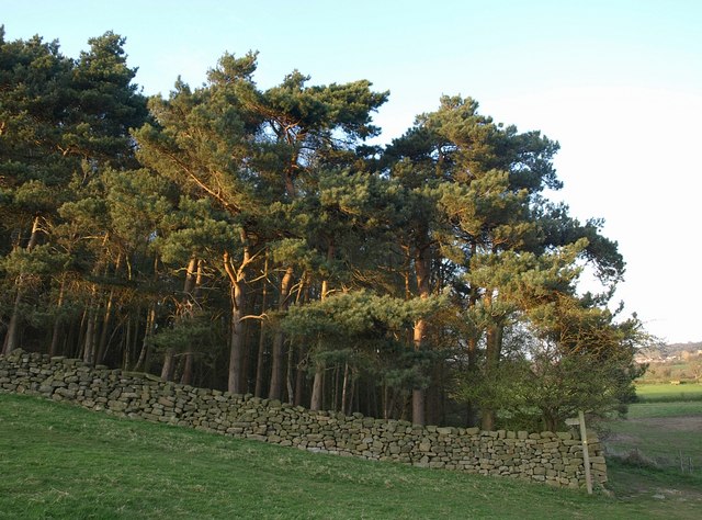
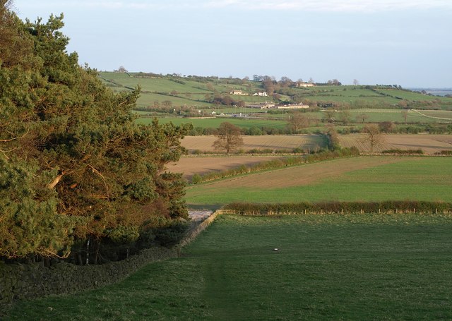
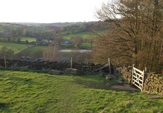
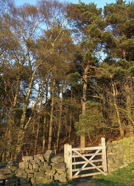
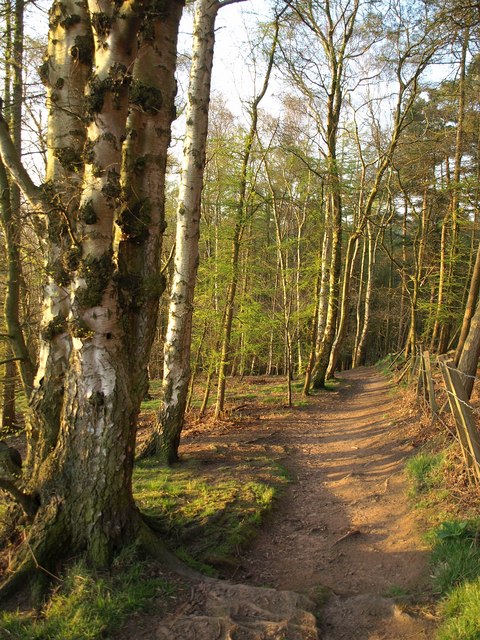
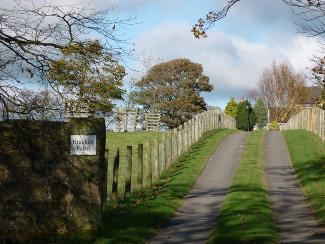
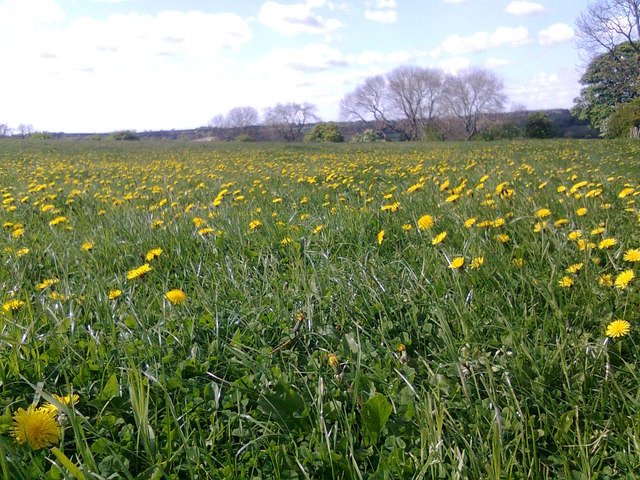
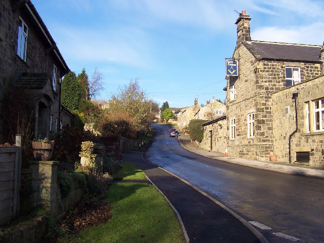
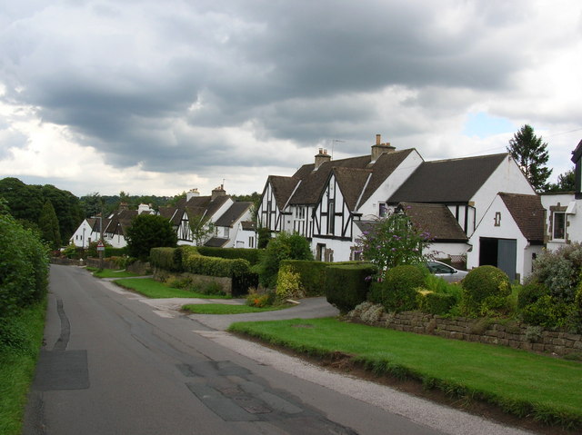
The village of North Rigton is nestled in the picturesque countryside, surrounded by rolling hills and lush green fields. It is a rural settlement with a tranquil and peaceful atmosphere, offering its residents a close-knit community feel. The village is known for its beautiful stone-built houses and traditional architecture, which adds to its charm.

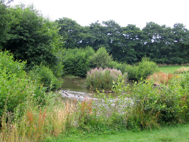
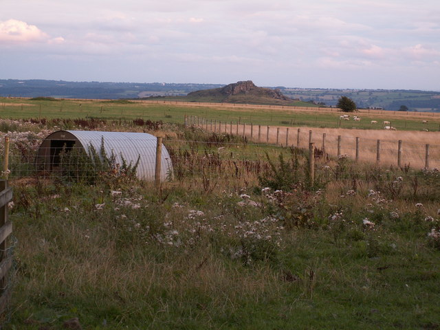
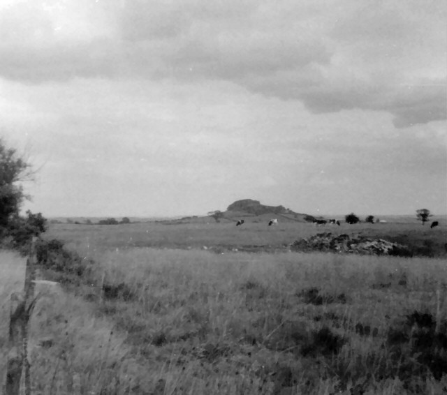
The area is rich in natural beauty, with plenty of scenic walks and trails for outdoor enthusiasts to explore. The nearby Harewood House, a stunning stately home and gardens, is a popular attraction for visitors. North Rigton also benefits from its proximity to the Yorkshire Dales National Park, one of the UK's most beloved natural landscapes.

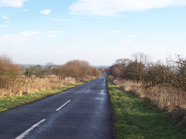
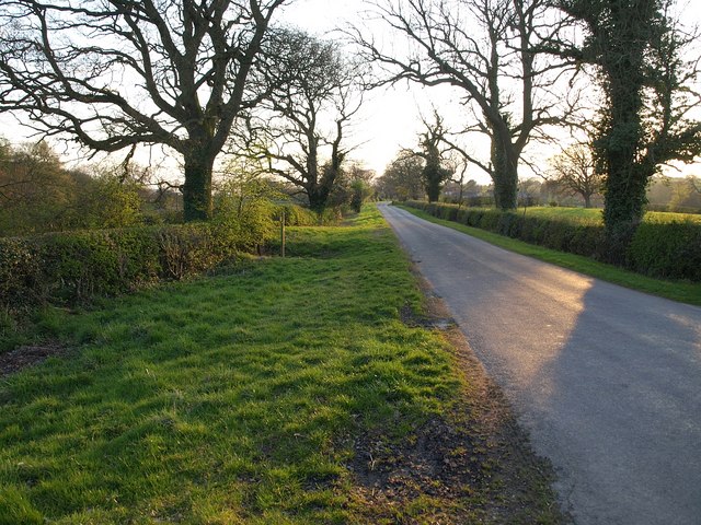
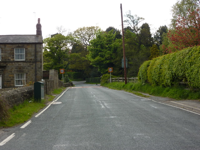
Despite its rural setting, North Rigton is conveniently located close to major transport links. The A61 road runs nearby, providing easy access to Harrogate, Leeds, and other nearby towns and cities. The village has a local primary school, and amenities such as shops and other services can be found in the neighboring towns.

In summary, North Rigton is a charming and idyllic civil parish in Yorkshire, offering a peaceful countryside setting and a strong sense of community.

If you have any feedback on the listing, please let us know in the comments section below.

North Rigton Images

Images are sourced within 2km of 53.946064/-1.574749 or Grid Reference SE2850. Thanks to Geograph Open Source API. All images are credited.

North Rigton Looking back towards the South East and Almscliff Crags
North Rigton
Looking back towards the South East and Almscliff Crags
Alder Carr House Farm The duck pond at Alder Carr House Farm, this is no longer a working farm, now an attractive country home.
Alder Carr House Farm
The duck pond at Alder Carr House Farm, this is no longer a working farm, now an attractive country home.
Brackenthwaite North Yorkshire A well kept country home near to the village of Brackenthwaite north Yorkshire.
Brackenthwaite North Yorkshire
A well kept country home near to the village of Brackenthwaite north Yorkshire.
Tatefield Hall Beckwithshaw, North Yorkshire This once magnificent hall was the home of wealthy farmer Benjamin Kent until he died in 1968 at the age of 83.Mr Kent, a wealthy farmer and Fellow of the Society of Antiquaries, lived in the house dating from the 16th century, which was filled with rare artefacts.It is now sadly in a state of neglect and littered with rusting farm machinery.
Tatefield Hall Beckwithshaw, North Yorkshire
This once magnificent hall was the home of wealthy farmer Benjamin Kent until he died in 1968 at the age of 83.Mr Kent, a wealthy farmer and Fellow of the Society of Antiquaries, lived in the house dating from the 16th century, which was filled with rare artefacts.It is now sadly in a state of neglect and littered with rusting farm machinery.
Maw Hill View, Brackenthwaite Lane, Burn Bridge Close to the Victorian Spa Town of Harrogate, yet very rural setting.
Maw Hill View, Brackenthwaite Lane, Burn Bridge
Close to the Victorian Spa Town of Harrogate, yet very rural setting.
Brackenthwaite Lane Looking east on its journey to Brackenthwaite and Pannal.
Brackenthwaite Lane
Looking east on its journey to Brackenthwaite and Pannal.
Looking towards Almscliff Crag (2km away) Taken from Briscoe Ridge Lane looking across meadows leading to Almscliff Crag some 2km to the south
Looking towards Almscliff Crag (2km away)
Taken from Briscoe Ridge Lane looking across meadows leading to Almscliff Crag some 2km to the south
Bales next to track to Horn Bank Farm
The Warren A pinewood enclosed by a drystone wall, round and through which the Harrogate Ringway makes its southwesternmost bend.
The Warren
A pinewood enclosed by a drystone wall, round and through which the Harrogate Ringway makes its southwesternmost bend.
Countryside west of Buttersyke Bar Seen from the Harrogate Ringway as it descends a field beside <a href="https://www.geograph.org.uk/photo/1257871">SE2950 : The Warren</a>. Fields slope down towards Buttersyke. Buttersyke Bar, the roundabout shown in <a href="https://www.geograph.org.uk/photo/206360">SE3050 : Roundabout, A61/A658</a>, is visible is the centre above the oak tree. The farms beyond it are on Walton Head Lane.
Countryside west of Buttersyke Bar
Seen from the Harrogate Ringway as it descends a field beside SE2950 : The Warren. Fields slope down towards Buttersyke. Buttersyke Bar, the roundabout shown in SE3050 : Roundabout, A61/A658, is visible is the centre above the oak tree. The farms beyond it are on Walton Head Lane.
On the Harrogate Ringway The trail enters The Warren through this gate, with a view over the wall of the Horn Beck and Crimple Beck valleys. The prominent farm is Brackenfoot Farm.
On the Harrogate Ringway
The trail enters The Warren through this gate, with a view over the wall of the Horn Beck and Crimple Beck valleys. The prominent farm is Brackenfoot Farm.
Gate into The Warren Another view of the gate shown in <a href="https://www.geograph.org.uk/photo/1257937">SE2950 : On the Harrogate Ringway</a>, taking the Harrogate Ringway into the pinewood.
Gate into The Warren
Another view of the gate shown in SE2950 : On the Harrogate Ringway, taking the Harrogate Ringway into the pinewood.
Harrogate Ringway in The Warren Taken immediately after entering the wood through <a href="https://www.geograph.org.uk/photo/1257963">SE2950 : Gate into The Warren</a>.
Harrogate Ringway in The Warren
Taken immediately after entering the wood through SE2950 : Gate into The Warren.
Brackenthwaite Lane A generous verge along the south side of this straight section of the lane (crosses here by the Harrogate Ringway) between Burn Bridge and Brackenthwaite.
Brackenthwaite Lane
A generous verge along the south side of this straight section of the lane (crosses here by the Harrogate Ringway) between Burn Bridge and Brackenthwaite.
The entrance to Bracken Farm Off Brackenwaite Lane.
The entrance to Bracken Farm
Off Brackenwaite Lane.
Hill Foot Lane, Pannal
Towards America View from Briscoe Ridge Lane across Rigton High Moor towards America Farm and Almscliff Crag.
Towards America
View from Briscoe Ridge Lane across Rigton High Moor towards America Farm and Almscliff Crag.
Dandelions, Brackenthwaite A grass field in the Brackenthwaite area. Early summer dandelions.
Dandelions, Brackenthwaite
A grass field in the Brackenthwaite area. Early summer dandelions.
Show me another place!

North Rigton is located at Grid Ref: SE2850 (Lat: 53.946064, Lng: -1.574749)

Division: West Riding

Administrative County: North Yorkshire

District: Harrogate

Police Authority: North Yorkshire

What 3 Words

///sensibly.dentistry.atoms. Near Pannal, North Yorkshire

Nearby Locations

North Rigton

Related Wikis

North Rigton

North Rigton is a village and civil parish in the Harrogate district of North Yorkshire, England. It is 2 miles (3 km) south of Harrogate. The population...
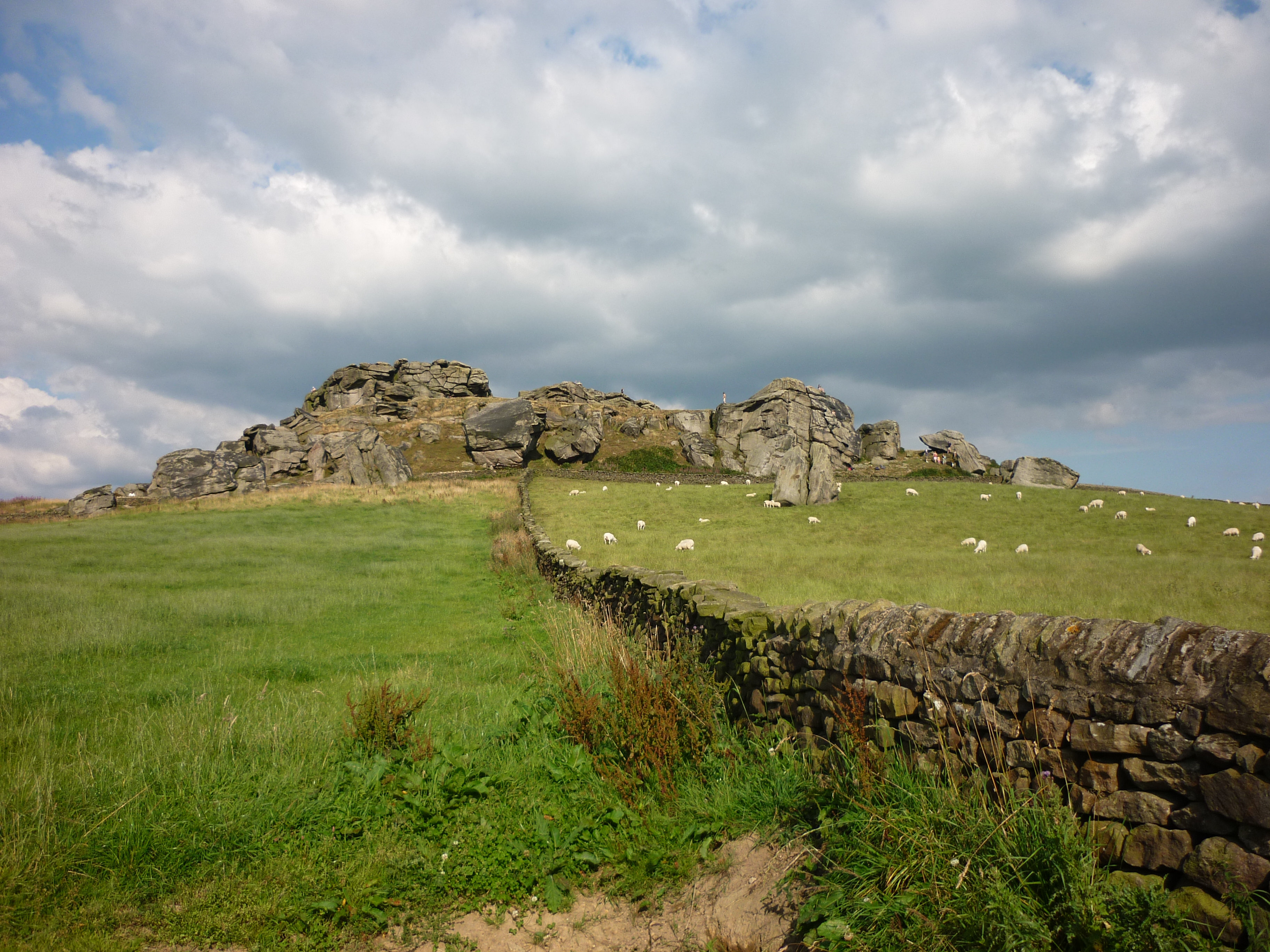
Almscliffe Crag

Almscliffe Crag, or Almscliff Crag, also known as Great Almscliff Crag to distinguish from Little Almscliff, 3 miles (5 km) north west, is a Millstone...

Burn Bridge

Burn Bridge is a village in the borough of Harrogate in North Yorkshire, England. It is 2.5 miles (4.0 km) south of the town of Harrogate, and forms part...

Weeton railway station

Weeton railway station serves the villages of Weeton and Huby in North Yorkshire, England. It is located on the Harrogate Line 11.5 miles (19 km) north...

Huby, Harrogate

Huby is a village in the Harrogate district of North Yorkshire that lies approximately 5 miles (8 km) south of the town of Harrogate and 8.63 miles (13...

Beckwith, North Yorkshire

Beckwith is a small settlement in North Yorkshire, England. It lies 2 miles (3 km) south west of Harrogate. The place name was first recorded in about...

St Robert's Church, Pannal

St Robert's Church, Pannal, North Yorkshire, England, also known as St Robert of Knaresborough Parish Church, is a Grade II* listed building. A 13th-century...

Pannal

Pannal is a village in the Harrogate district of North Yorkshire, England. Historically part of the West Riding of Yorkshire, it is situated to the immediate...

Nearby Amenities

Located within 500m of 53.946064,-1.574749
Spring House
Building: yes
Source: NPE
Lat/Long: 53.9491961/-1.5743079
Rigton Lodge
Building: yes
Source: NPE
Lat/Long: 53.9440688/-1.5682569
Barrier: stile
Lat/Long: 53.9492822/-1.5800082
Barrier: stile
Lat/Long: 53.946188/-1.5798794
Barrier: stile
Lat/Long: 53.9456963/-1.5798789
The data included in this document is from www.openstreetmap.org. The data is made available under ODbL.

Have you been to North Rigton?

Leave your review of North Rigton below (or comments, questions and feedback).