Intac Wood

Wood, Forest in Cheshire

England

Intac Wood

Lock along the Macclesfield Canal No 6 of the Bosley Locks.
Lock along the Macclesfield Canal Credit: steven ruffles

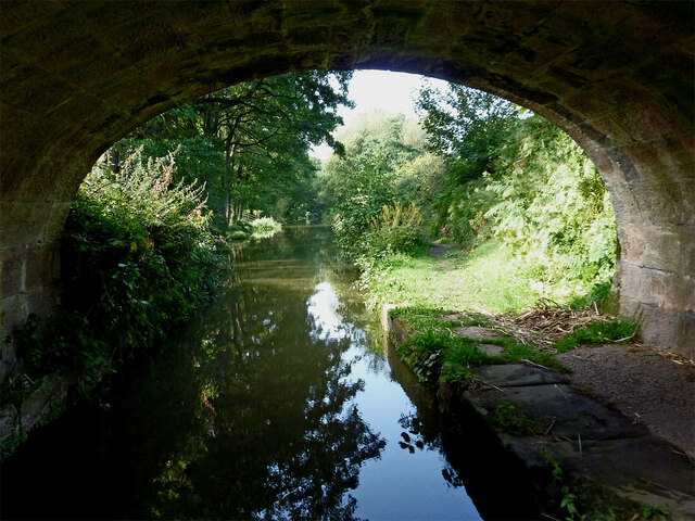
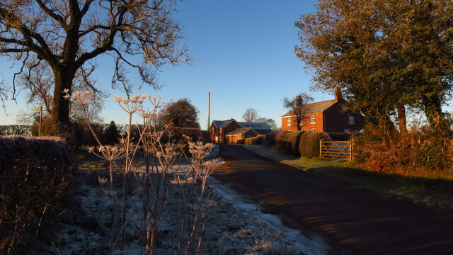
Intac Wood is a picturesque forest located in the county of Cheshire, England. Stretching over an area of approximately 500 acres, this woodland is renowned for its natural beauty and diversity of flora and fauna. It is a popular destination for nature enthusiasts, walkers, and photographers alike.

The forest is primarily composed of deciduous trees, including oak, beech, and birch, which create a stunning canopy of colors during the autumn season. Intac Wood is also home to an array of wildlife, including deer, rabbits, foxes, and a variety of bird species. Birdwatchers can spot woodpeckers, jays, and owls among the many inhabitants of the woodland.

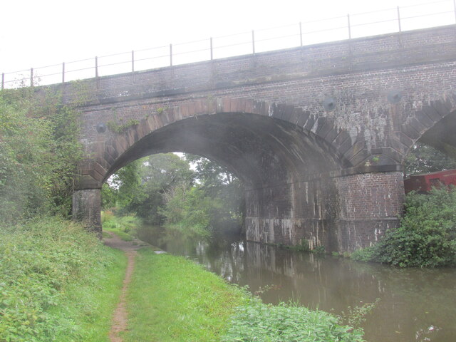
The forest offers a network of well-maintained trails and footpaths, allowing visitors to explore the woodland at their own pace. The paths wind through ancient trees, wildflower meadows, and streams, providing a tranquil and immersive experience in nature. There are also designated picnic areas and benches where visitors can take a break and enjoy the peaceful surroundings.

Intac Wood is managed by the local forestry commission, ensuring the preservation of the woodland's natural habitats and the sustainability of its resources. Educational programs and guided tours are occasionally organized to raise awareness about the importance of forest conservation and to educate visitors about the various species that inhabit the woodland.

Overall, Intac Wood is a cherished natural gem in Cheshire, offering a serene and enchanting escape for those seeking solace in the beauty of nature.

If you have any feedback on the listing, please let us know in the comments section below.
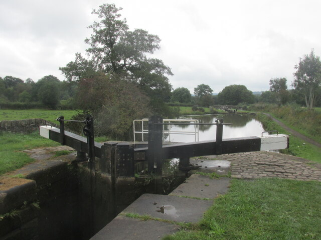
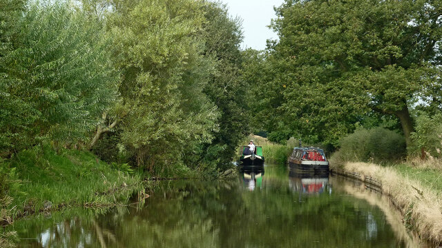
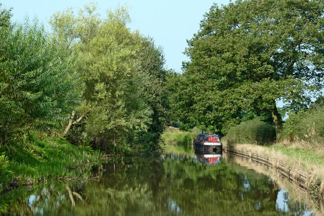
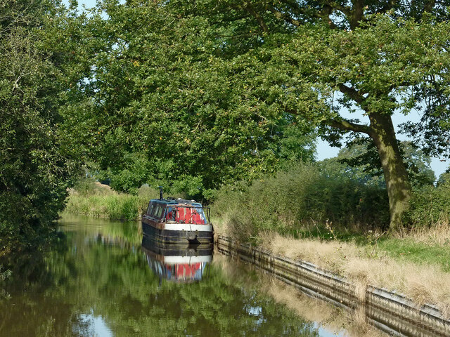
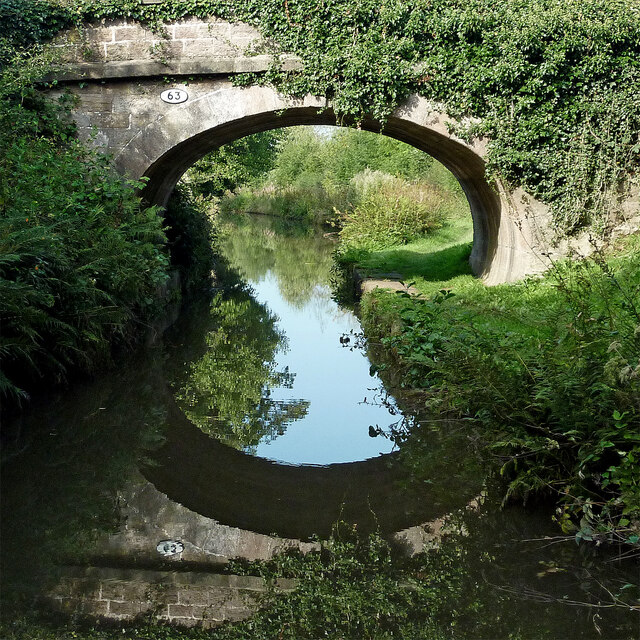
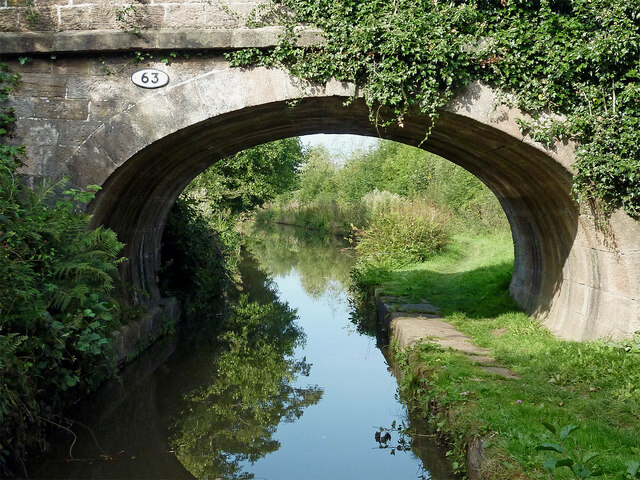
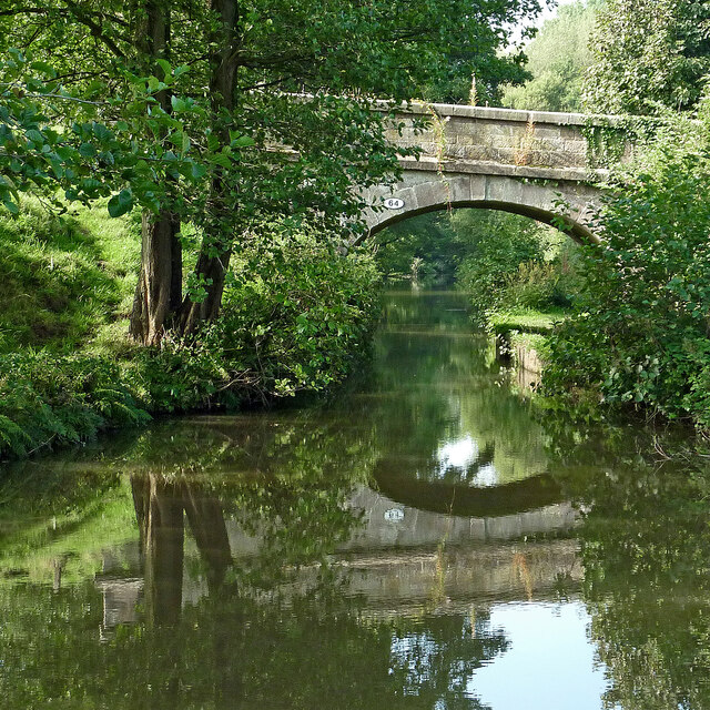
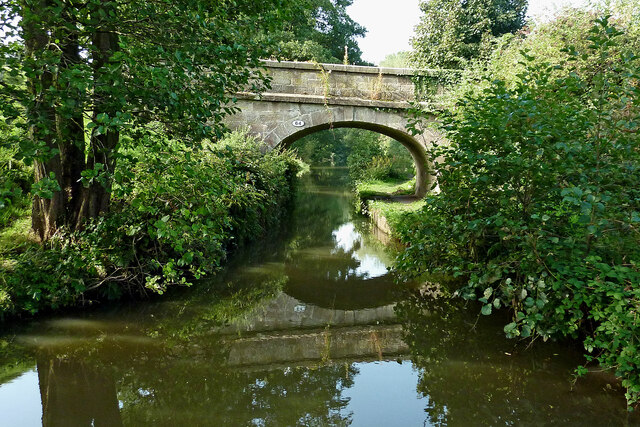
Intac Wood Images

Images are sourced within 2km of 53.197159/-2.170438 or Grid Reference SJ8866. Thanks to Geograph Open Source API. All images are credited.

Lock along the Macclesfield Canal No 6 of the Bosley Locks.
Lock along the Macclesfield Canal
No 6 of the Bosley Locks.
Macclesfield Canal north-east of Congleton, Cheshire Looking west-north-west towards Congleton. Stanier 2nd Bridge, No 63 is just out of view ahead.
Macclesfield Canal north-east of Congleton, Cheshire
Looking west-north-west towards Congleton. Stanier 2nd Bridge, No 63 is just out of view ahead.
Macclesfield Canal north-east of Congleton, Cheshire Looking west-north-west towards Congleton. Stanier 2nd Bridge, No 63 is just out of view ahead.
Macclesfield Canal north-east of Congleton, Cheshire
Looking west-north-west towards Congleton. Stanier 2nd Bridge, No 63 is just out of view ahead.
Moored narrowboat near Congleton in Staffordshire This is the Macclesfield Canal west of Congleton Bridge, No 61.
Moored narrowboat near Congleton in Staffordshire
This is the Macclesfield Canal west of Congleton Bridge, No 61.
Stanier 2nd Bridge near Congleton, Cheshire Stanier 2nd Bridge is No 63 across the Macclesfield Canal north-east of Congleton. It is a farmer's accommodation bridge with no public right of way across it or into adjacent fields.
Stanier 2nd Bridge near Congleton, Cheshire
Stanier 2nd Bridge is No 63 across the Macclesfield Canal north-east of Congleton. It is a farmer's accommodation bridge with no public right of way across it or into adjacent fields.
Macclesfield Canal at Stanier No 2 Bridge near Congleton Stanier 2nd Bridge is No 63 across the Macclesfield Canal north-east of Congleton. It is a farmer's accommodation bridge with no public right of way across it or into adjacent fields.
Macclesfield Canal at Stanier No 2 Bridge near Congleton
Stanier 2nd Bridge is No 63 across the Macclesfield Canal north-east of Congleton. It is a farmer's accommodation bridge with no public right of way across it or into adjacent fields.
Pearson Bridge north-east of Congleton, Cheshire Pearson Bridge is No 64 across the Macclesfield Canal north-east of Congleton. It is a farmer's accommodation bridge with no public right of way across it or into adjacent fields.
Pearson Bridge north-east of Congleton, Cheshire
Pearson Bridge is No 64 across the Macclesfield Canal north-east of Congleton. It is a farmer's accommodation bridge with no public right of way across it or into adjacent fields.
Macclesfield Canal north-east of Congleton Looking south-west through the arch of Pearson Bridge, No 64 on the Macclesfield Canal north-east of Congleton.
Macclesfield Canal north-east of Congleton
Looking south-west through the arch of Pearson Bridge, No 64 on the Macclesfield Canal north-east of Congleton.
Railway across the Macclesfield Canal A walk in Cheshire.
Railway across the Macclesfield Canal
A walk in Cheshire.
Footpath to North Rode at Rodegreen
Flooded field by Shellow Lane, Gawsworth
Rodegreen & Pexall Rd
North Rode Church & Yew Tree Farm
Mile Marker, Macclesfield Canal Milestone on the bank of the towpath. In the parish of Congleton.

Inscription: ¼ 

Milestone Society National ID: MAC-18¼
Mile Marker, Macclesfield Canal
Milestone on the bank of the towpath. In the parish of Congleton. Inscription: ¼ Milestone Society National ID: MAC-18¼
Mile Marker, Macclesfield Canal Milestone on the bank of the towpath. In the parish of Congleton West of bridge 62.

Inscription: ½ 

Milestone Society National ID: MAC-18½
Mile Marker, Macclesfield Canal
Milestone on the bank of the towpath. In the parish of Congleton West of bridge 62. Inscription: ½ Milestone Society National ID: MAC-18½
Crossley Stud Farm
Crossley Stud Farm
Show me another place!

Intac Wood is located at Grid Ref: SJ8866 (Lat: 53.197159, Lng: -2.170438)

Unitary Authority: Cheshire East

Police Authority: Cheshire

What 3 Words

///baking.yappy.befitting. Near Eaton, Cheshire

Related Wikis

St Michael's Church, North Rode

St Michael's Church is in Church Lane, North Rode, Cheshire, England. It is an active Anglican parish church in the deanery of Macclesfield, the archdeaconry...

North Rode

North Rode is a small village and civil parish in the unitary authority of Cheshire East and the ceremonial county of Cheshire, England. According to the...
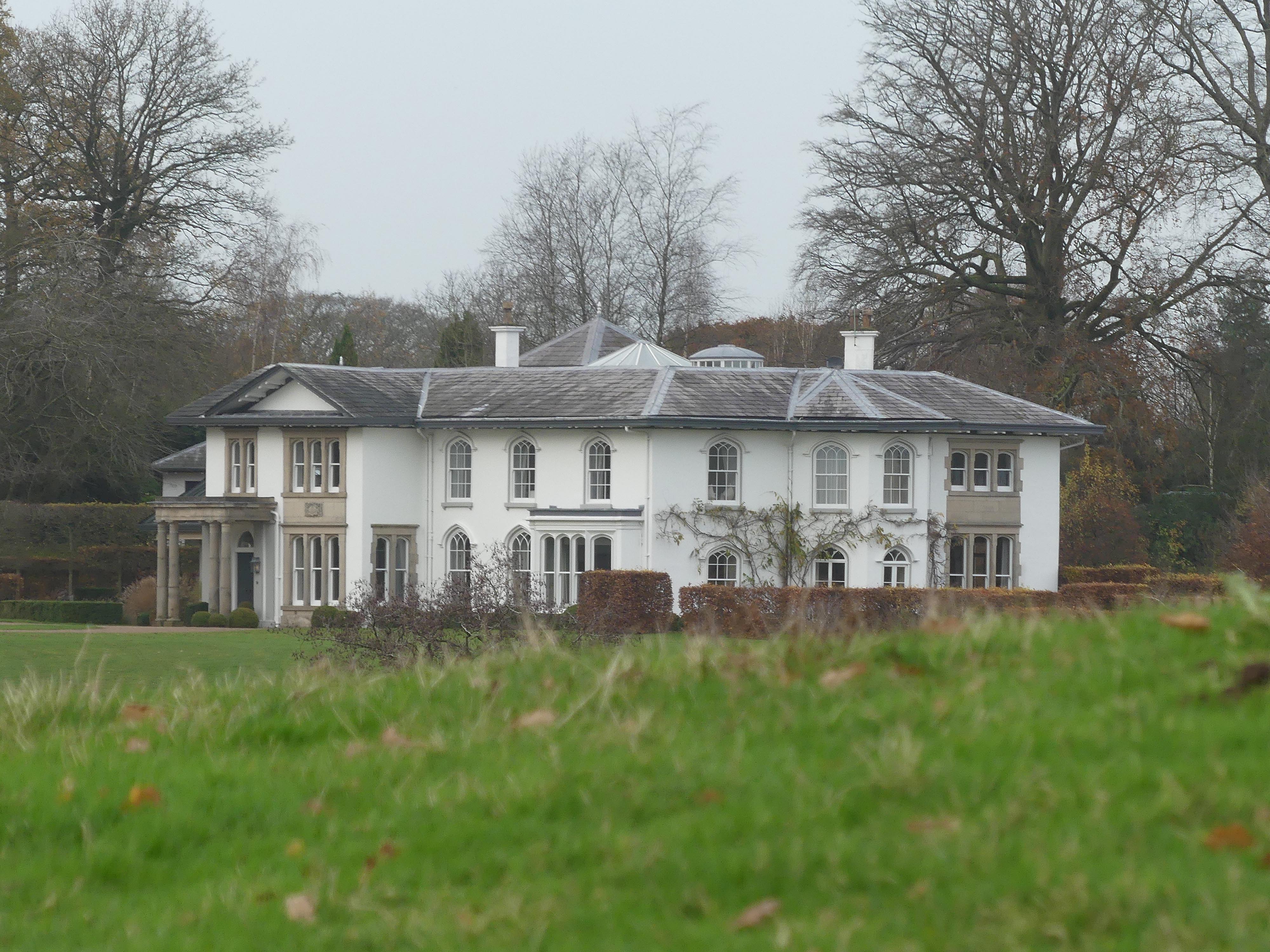
North Rode Manor

North Rode Manor is a country house standing to the north of the village of North Rode, Cheshire, England. The house was built between 1838 and 1840 for...

North Rode railway station

North Rode railway station originally North Rode junction served the village of North Rode, Cheshire. The station was opened by the North Staffordshire...

Bosley Lock Flight

Bosley Lock Flight (grid reference SJ904662) is a flight of twelve canal locks, situated on the Macclesfield Canal at Bosley, near Macclesfield, Cheshire...

Gawsworth

Gawsworth is a civil parish and village in the unitary authority of Cheshire East and the ceremonial county of Cheshire, England. The population of the...

Eaton, Cheshire East

Eaton is a village and civil parish in the unitary authority of Cheshire East and the ceremonial county of Cheshire, England. According to the 2001 census...

Christ Church, Eaton

Christ Church is in Macclesfield Road, the A536 road, to the south of the village of Eaton, Cheshire East, England. It is an active Anglican parish church...

Nearby Amenities

Located within 500m of 53.197159,-2.170438
Post Box
Royal Cypher: EIIR
Royal Cypher Wikidata: Q33102113
Lat/Long: 53.1957584/-2.167552
Bus Stop
North Rode, Church Lane / St Michael's Church
Bus: yes
Naptan AtcoCode: 0600MA19082
Naptan Bearing: SE
Naptan BusStopType: CUS
Naptan CommonName: St Michael's Church
Naptan Indicator: o/s
Naptan Landmark: St Michael's Church
Naptan LocalityName: North Rode
Naptan NaptanCode: chewmwa
Naptan ShortCommonName: St Michael's Church
Naptan Street: Church Lane
Naptan Verified: no
Network: Cheshire East Council
Operator: Ansa Transport
Public Transport: platform
Source: naptan_import
Lat/Long: 53.195595/-2.1672286
Yew Tree Farm
Place: locality
Lat/Long: 53.1963504/-2.1660671
North Rode
Place: hamlet
Wikidata: Q2077889
Wikipedia: en:North Rode
Lat/Long: 53.195512/-2.1663993
The data included in this document is from www.openstreetmap.org. The data is made available under ODbL.

Have you been to Intac Wood?

Leave your review of Intac Wood below (or comments, questions and feedback).