Kennel Wood
Wood, Forest in Wiltshire
England
Kennel Wood
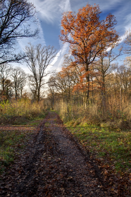
Kennel Wood is a picturesque forest located in the county of Wiltshire, England. Spanning approximately 200 acres, it is a popular destination for nature enthusiasts, hikers, and dog walkers. The forest is situated near the village of Malmesbury and is easily accessible by road.
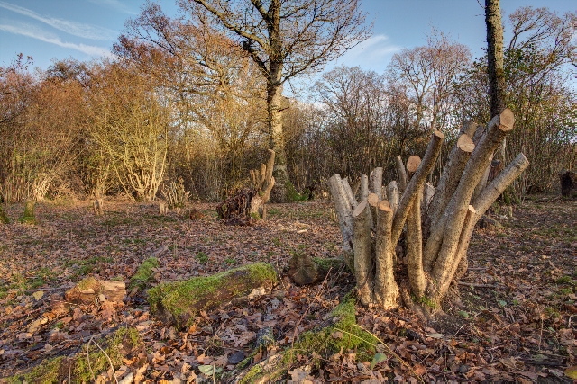
As its name suggests, Kennel Wood was historically used for housing hunting dogs, serving as a kennel for the local aristocracy. Today, it offers a peaceful retreat for visitors looking to escape the hustle and bustle of city life. The woodland is predominantly composed of native trees such as oak, beech, and ash, creating a diverse and vibrant ecosystem.
The forest boasts a network of well-maintained trails, allowing visitors to explore its beauty at their own pace. These paths offer stunning views of the surrounding countryside, and on clear days, one can even catch glimpses of the nearby Cotswold Hills. Wildlife enthusiasts will be delighted by the various species that call Kennel Wood home, including deer, foxes, badgers, and a wide array of birdlife.
In addition to its natural beauty, Kennel Wood also holds historical significance. Nestled within its depths are the remains of an Iron Age hillfort, believed to have been constructed around 400 BC. Archaeological excavations have uncovered artifacts such as pottery shards and tools, shedding light on the lives of the ancient inhabitants.
Overall, Kennel Wood in Wiltshire offers a serene and captivating experience for those seeking a connection with nature. It provides a tranquil setting for outdoor activities and a glimpse into the region's rich history.
If you have any feedback on the listing, please let us know in the comments section below.
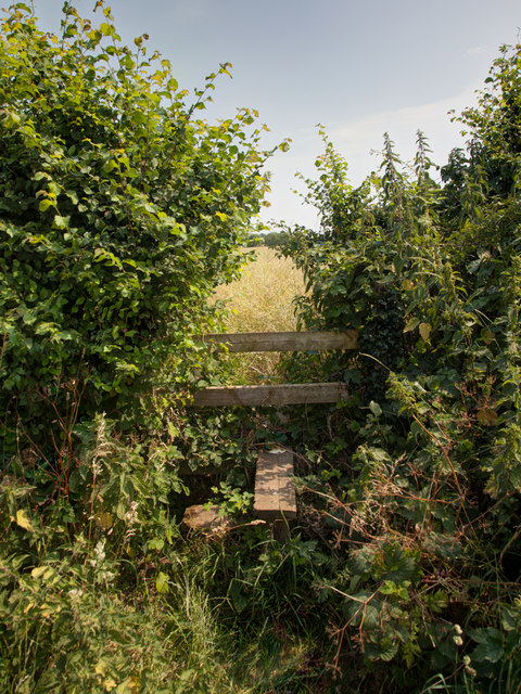
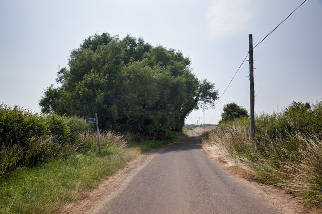
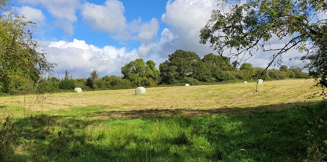
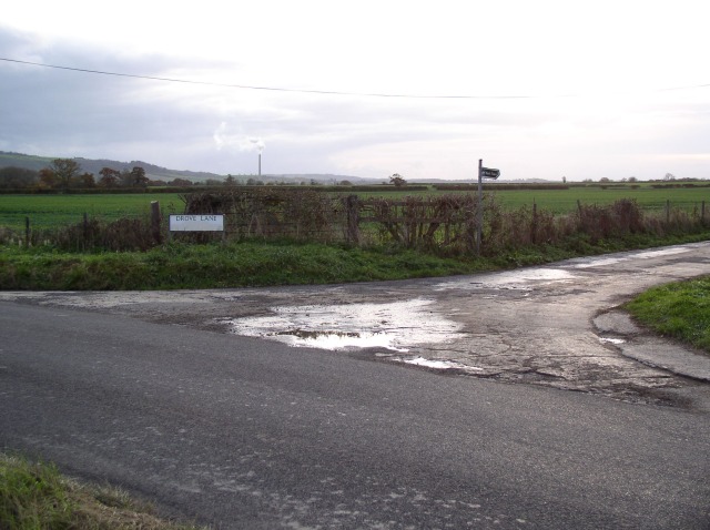
Kennel Wood Images
Images are sourced within 2km of 51.305147/-2.1632979 or Grid Reference ST8856. Thanks to Geograph Open Source API. All images are credited.


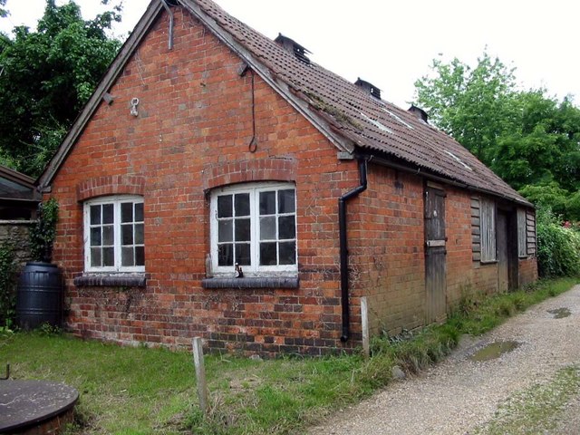
![Steeple Ashton houses [19] Bartletts Farmhouse was built in the mid 18th century. Constructed of brick with freestone dressings under a Bridgwater tile roof. The left gable end is dressed limestone. There is a later slate-hung wing to the right rear. Listed, grade II, with details at: <span class="nowrap"><a title="https://historicengland.org.uk/listing/the-list/list-entry/1252515" rel="nofollow ugc noopener" href="https://historicengland.org.uk/listing/the-list/list-entry/1252515">Link</a><img style="margin-left:2px;" alt="External link" title="External link - shift click to open in new window" src="https://s1.geograph.org.uk/img/external.png" width="10" height="10"/></span>
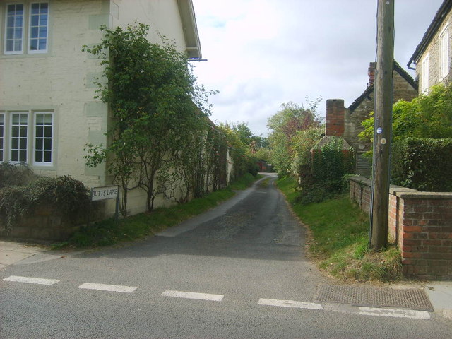
The village of Steeple Ashton is a former market town, having been granted a weekly market in 1266. It lies some 3¼ miles east of Trowbridge and some 7 miles southwest of Devizes. The town became wealthy from its cloth industry, but there was a great fire in the early 16th century, and when it came to rebuilding the industry moved to the nearby town of Trowbridge, where the River Biss provided power for fulling mills. The first part of the village name comes from the former church spire, which collapsed in 1670.](https://s1.geograph.org.uk/geophotos/07/43/38/7433869_403df244.jpg)
![Steeple Ashton houses [22] Number 12 High Street is a detached cottage built circa 1600. Timber framed with square panels and brick nogging on a rubble stone plinth under a Bridgwater tile roof. The left return was rebuilt in the 19th century in limestone and brick random chequers. There are two rear lean-to extensions. Listed, grade II, with details at: <span class="nowrap"><a title="https://historicengland.org.uk/listing/the-list/list-entry/1262242" rel="nofollow ugc noopener" href="https://historicengland.org.uk/listing/the-list/list-entry/1262242">Link</a><img style="margin-left:2px;" alt="External link" title="External link - shift click to open in new window" src="https://s1.geograph.org.uk/img/external.png" width="10" height="10"/></span>
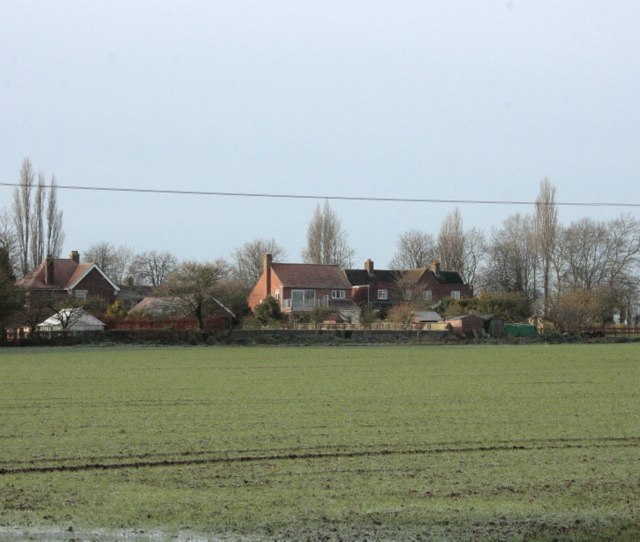
The village of Steeple Ashton is a former market town, having been granted a weekly market in 1266. It lies some 3¼ miles east of Trowbridge and some 7 miles southwest of Devizes. The town became wealthy from its cloth industry, but there was a great fire in the early 16th century, and when it came to rebuilding the industry moved to the nearby town of Trowbridge, where the River Biss provided power for fulling mills. The first part of the village name comes from the former church spire, which collapsed in 1670.](https://s3.geograph.org.uk/geophotos/07/43/44/7434423_add6acf2.jpg)

Kennel Wood is located at Grid Ref: ST8856 (Lat: 51.305147, Lng: -2.1632979)
Unitary Authority: Wiltshire
Police Authority: Wiltshire
What 3 Words
///petrified.forklift.glimmers. Near North Bradley, Wiltshire
Nearby Locations
Related Wikis

Rood Ashton House
Rood Ashton House was a country house in Wiltshire, England, standing in parkland 0.5 miles (0.80 km) northeast of the village of West Ashton, near Trowbridge...

West Ashton
West Ashton is a village and civil parish in Wiltshire, England. It is about 2 miles (3.2 km) southeast of Trowbridge, near the A350 between Melksham and...

Steeple Ashton
Steeple Ashton is a village and civil parish in Wiltshire, England, 3 miles (4.8 km) east of Trowbridge. In the north of the parish are the hamlets of...

Yarnbrook
Yarnbrook is a large hamlet in Wiltshire, England, between the towns of Westbury and Trowbridge. Most of the settlement lies in the civil parish of North...
Ashton Common
Ashton Common is a hamlet in Wiltshire, England, to the east of Trowbridge. The hamlet lies on Common Hill, a little south of the A350 road, within the...

Picket and Clanger Wood
Picket and Clanger Wood (grid reference ST875543) is a 66.4 hectare biological Site of Special Scientific Interest in Wiltshire, England, and lies off...

Whorwellsdown Hundred
Whorwellsdown was a hundred of the English county of Wiltshire, lying in the west of the county to the south of the towns of Bradford on Avon and Melksham...

Heywood, Wiltshire
Heywood is a civil parish and small village in the county of Wiltshire in southwestern England. The village is approximately 1.5 miles (2.4 km) north of...
Related Videos
Cow Facts for Kids - 10 Questions! (Q&A) - A Video by Joel Self - Outdoor Instructor
A recent video of mine showed me relaxing with some cows on my early morning walk, this sparked a few questions from my ...
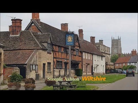
Steeple Ashton Village, English Countryside 4K
https://www.buymeacoffee.com/Daveswalks All support is hugely appreciated and it helps me keep the channel going! No talking ...
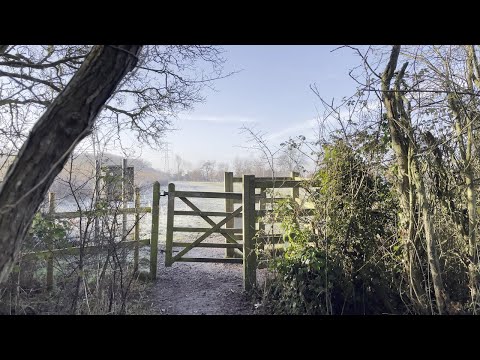
A winter walk in the woods - Jan 22
This is a short film of a walk around the woods behind my house on a sunny but cold and frosty morning in January 2022. Its taken ...
Censored VanLife S06E53 Steeple Ashton in Wiltshire, England
There are so many beautiful things to see in the United Kingdom that even just by roaming around aimlessly on the backroads you ...
Nearby Amenities
Located within 500m of 51.305147,-2.1632979Have you been to Kennel Wood?
Leave your review of Kennel Wood below (or comments, questions and feedback).