Stourton Water
Lake, Pool, Pond, Freshwater Marsh in Wiltshire
England
Stourton Water

Stourton Water is a freshwater lake located in the county of Wiltshire, England. It covers an area of approximately 10 hectares and is situated within the Stourhead estate, a National Trust property. The lake is nestled amidst picturesque surroundings, surrounded by lush greenery and mature trees.
The water in Stourton Water is sourced from natural springs, resulting in a crystal-clear and pristine environment. The lake is renowned for its tranquil ambiance and is a popular spot for nature enthusiasts and visitors seeking solace in nature. It offers a serene atmosphere, making it an ideal destination for those seeking relaxation or a peaceful walk.
The lake also serves as a habitat for a variety of wildlife, attracting an array of bird species and providing a breeding ground for amphibians and insects. Birdwatchers can spot numerous species, including herons, kingfishers, and swans. The lake's ecosystem also supports an abundance of aquatic plants, which thrive in the shallow areas.
Surrounding the lake, there are well-maintained footpaths that offer visitors the chance to explore the area and enjoy scenic views. Additionally, there are picnic areas and benches available, allowing visitors to sit and appreciate the natural beauty of the surroundings.
Stourton Water is managed by the National Trust and is open to the public, with designated areas for fishing and birdwatching. It is a tranquil haven for both wildlife and visitors alike, providing a valuable space for relaxation, recreation, and the appreciation of the natural world.
If you have any feedback on the listing, please let us know in the comments section below.
Stourton Water Images
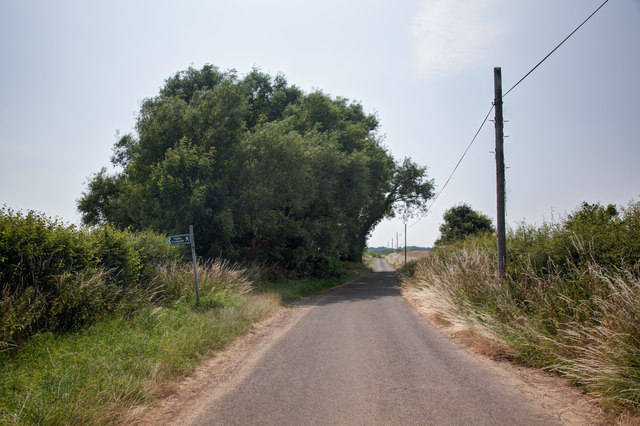
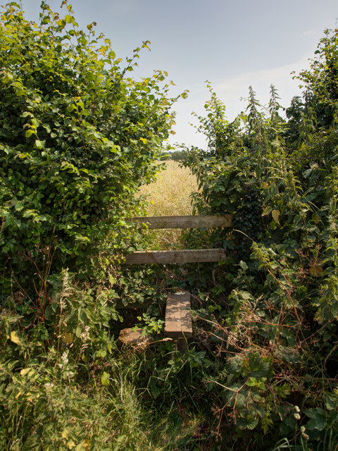
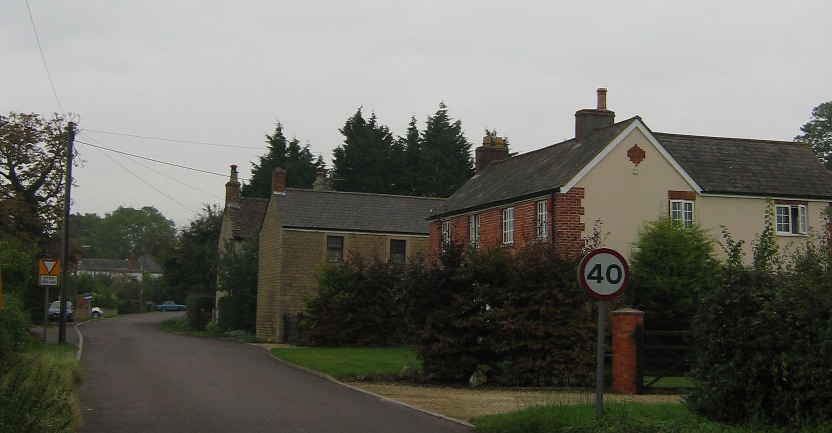
Images are sourced within 2km of 51.309248/-2.1631977 or Grid Reference ST8856. Thanks to Geograph Open Source API. All images are credited.


Stourton Water is located at Grid Ref: ST8856 (Lat: 51.309248, Lng: -2.1631977)
Unitary Authority: Wiltshire
Police Authority: Wiltshire
What 3 Words
///inert.freezing.state. Near North Bradley, Wiltshire
Nearby Locations
Related Wikis
Rood Ashton House
Rood Ashton House was a country house in Wiltshire, England, standing in parkland 0.5 miles (0.80 km) northeast of the village of West Ashton, near Trowbridge...
West Ashton
West Ashton is a village and civil parish in Wiltshire, England. It is about 2 miles (3.2 km) southeast of Trowbridge, near the A350 between Melksham and...
Ashton Common
Ashton Common is a hamlet in Wiltshire, England, to the east of Trowbridge. The hamlet lies on Common Hill, a little south of the A350 road, within the...
Steeple Ashton
Steeple Ashton is a village and civil parish in Wiltshire, England, 3 miles (4.8 km) east of Trowbridge. In the north of the parish are the hamlets of...
Whorwellsdown Hundred
Whorwellsdown was a hundred of the English county of Wiltshire, lying in the west of the county to the south of the towns of Bradford on Avon and Melksham...
Yarnbrook
Yarnbrook is a large hamlet in Wiltshire, England, between the towns of Westbury and Trowbridge. Most of the settlement lies in the civil parish of North...
Picket and Clanger Wood
Picket and Clanger Wood (grid reference ST875543) is a 66.4 hectare biological Site of Special Scientific Interest in Wiltshire, England, and lies off...
Hilperton
Hilperton is a village and civil parish in Wiltshire, England. The village is separated by a few fields (the Hilperton Gap) from the northeastern edge...
Have you been to Stourton Water?
Leave your review of Stourton Water below (or comments, questions and feedback).


