Moss Wood

Wood, Forest in Cheshire

England

Moss Wood

Macclesfield Canal north-east of Congleton, Cheshire Looking west-north-west towards Congleton. Stanier 2nd Bridge, No 63 is just out of view ahead.
Macclesfield Canal north-east of Congleton, Cheshire Credit: Roger Kidd

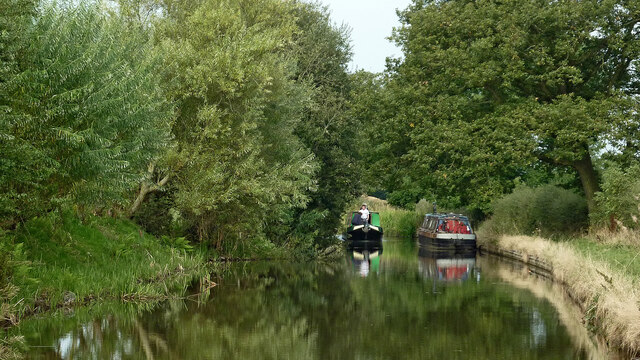
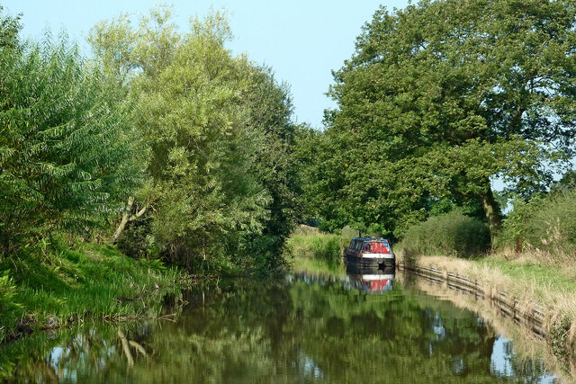
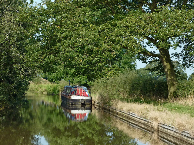
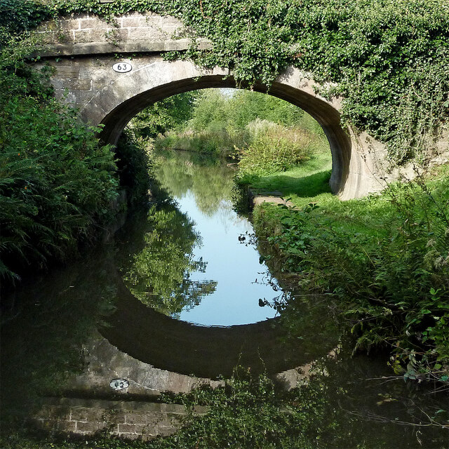
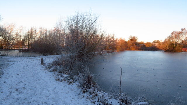
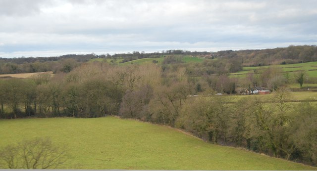
Moss Wood is a picturesque forest located in the county of Cheshire, England. Situated near the village of Norley, this woodland area spans over 30 hectares and is known for its enchanting beauty and ecological significance.

The woodland is predominantly made up of native broadleaf trees such as oak, birch, and beech, creating a diverse and vibrant habitat for a wide range of flora and fauna. The forest floor is covered in a rich carpet of mosses, ferns, and wildflowers, adding to the enchanting atmosphere of the wood.

Moss Wood is a haven for wildlife, providing a home to various species of birds, mammals, and insects. Visitors may spot woodpeckers, buzzards, and tawny owls soaring through the trees, while on the ground, foxes, badgers, and deer can occasionally be spotted.

The wood is crisscrossed with a network of well-maintained footpaths and trails, making it a popular destination for walkers, hikers, and nature enthusiasts. These paths lead visitors through the heart of the forest, allowing them to immerse themselves in the tranquil surroundings and appreciate the natural beauty of the area.

Throughout the year, Moss Wood offers a changing landscape, with vibrant colors in the autumn and a lush green canopy in the summer months. It is a perfect place for a peaceful escape from the hustle and bustle of everyday life, offering a chance to reconnect with nature and enjoy the serenity of the woodland environment.

If you have any feedback on the listing, please let us know in the comments section below.
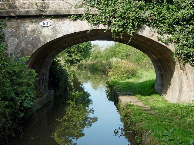
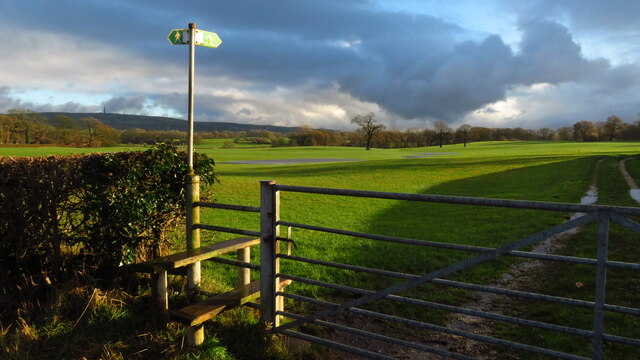
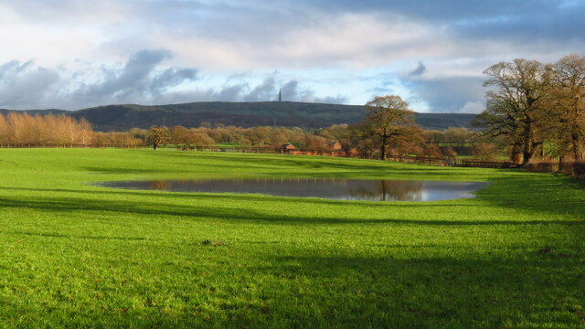
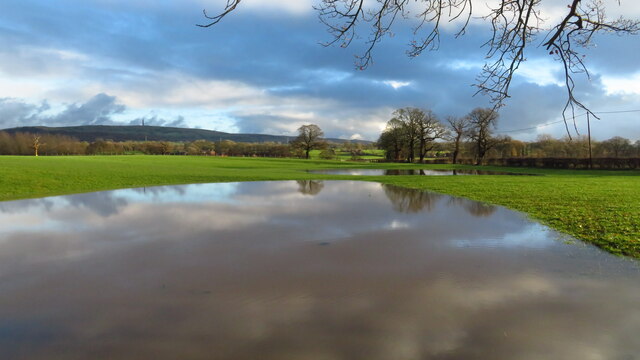
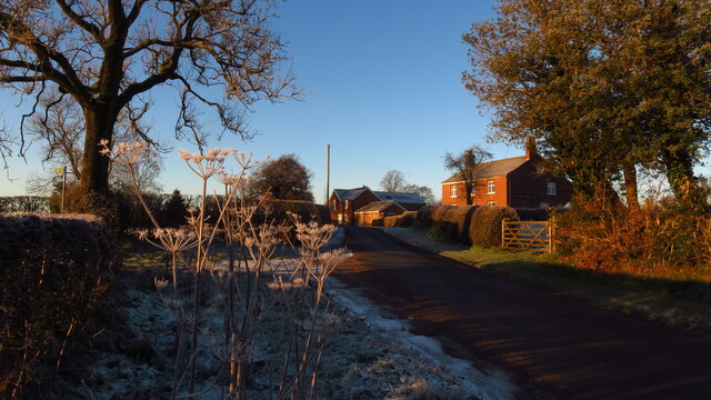
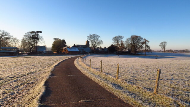
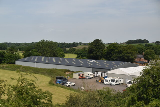
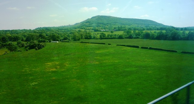
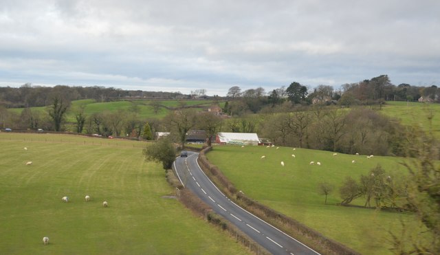
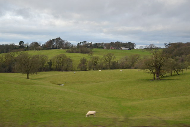
Moss Wood Images

Images are sourced within 2km of 53.199896/-2.173353 or Grid Reference SJ8866. Thanks to Geograph Open Source API. All images are credited.

Macclesfield Canal north-east of Congleton, Cheshire Looking west-north-west towards Congleton. Stanier 2nd Bridge, No 63 is just out of view ahead.
Macclesfield Canal north-east of Congleton, Cheshire
Looking west-north-west towards Congleton. Stanier 2nd Bridge, No 63 is just out of view ahead.
Macclesfield Canal north-east of Congleton, Cheshire Looking west-north-west towards Congleton. Stanier 2nd Bridge, No 63 is just out of view ahead.
Macclesfield Canal north-east of Congleton, Cheshire
Looking west-north-west towards Congleton. Stanier 2nd Bridge, No 63 is just out of view ahead.
Moored narrowboat near Congleton in Staffordshire This is the Macclesfield Canal west of Congleton Bridge, No 61.
Moored narrowboat near Congleton in Staffordshire
This is the Macclesfield Canal west of Congleton Bridge, No 61.
Stanier 2nd Bridge near Congleton, Cheshire Stanier 2nd Bridge is No 63 across the Macclesfield Canal north-east of Congleton. It is a farmer's accommodation bridge with no public right of way across it or into adjacent fields.
Stanier 2nd Bridge near Congleton, Cheshire
Stanier 2nd Bridge is No 63 across the Macclesfield Canal north-east of Congleton. It is a farmer's accommodation bridge with no public right of way across it or into adjacent fields.
Macclesfield Canal at Stanier No 2 Bridge near Congleton Stanier 2nd Bridge is No 63 across the Macclesfield Canal north-east of Congleton. It is a farmer's accommodation bridge with no public right of way across it or into adjacent fields.
Macclesfield Canal at Stanier No 2 Bridge near Congleton
Stanier 2nd Bridge is No 63 across the Macclesfield Canal north-east of Congleton. It is a farmer's accommodation bridge with no public right of way across it or into adjacent fields.
Footpath to North Rode at Rodegreen
Flooded field by Shellow Lane, Gawsworth
Path at fishing ponds, S of Gawsworth
Rodegreen & Pexall Rd
North Rode Church & Yew Tree Farm
Mile Marker, Macclesfield Canal Milestone on the bank of the towpath. In the parish of Congleton West of bridge 62.

Inscription: ½ 

Milestone Society National ID: MAC-18½
Mile Marker, Macclesfield Canal
Milestone on the bank of the towpath. In the parish of Congleton West of bridge 62. Inscription: ½ Milestone Society National ID: MAC-18½
Crossley Stud Farm
Crossley Stud Farm
Fields south of the River Dane Taken from southbound railway line. 'The Cloud' visible in background
Fields south of the River Dane
Taken from southbound railway line. 'The Cloud' visible in background
Buxton Rd The A54 runs 64 miles across Cheshire from Buxton to Chester.
<span class="nowrap"><a title="http://www.sabre-roads.org.uk/wiki/index.php?title=A54" rel="nofollow ugc noopener" href="http://www.sabre-roads.org.uk/wiki/index.php?title=A54">Link</a><img style="margin-left:2px;" alt="External link" title="External link - shift click to open in new window" src="https://s1.geograph.org.uk/img/external.png" width="10" height="10"/></span>
Buxton Rd
The A54 runs 64 miles across Cheshire from Buxton to Chester. LinkExternal link
Shallow valley
Shallow valley
River Dane The River Dane flows through Cheshire.
The river rises close to the source of the River Goyt just to the south west of Buxton, on Axe Edge Moor. Flowing southwest, it forms the border between Cheshire, Derbyshire and Staffordshire for around 10 miles before flowing west through Congleton and past Holmes Chapel.
The point on the river where the three counties meet, at Panniers' Pool Bridge, is called the Three Shire Heads. 
Passing just to the north of Middlewich, it merges first with the River Croco near the site of the old Roman fort in Harbutt's Field, and then with the River Wheelock near the aqueduct carrying the Trent and Mersey Canal, and runs the remaining five miles north to Northwich where it flows into the River Weaver.
River Dane
The River Dane flows through Cheshire. The river rises close to the source of the River Goyt just to the south west of Buxton, on Axe Edge Moor. Flowing southwest, it forms the border between Cheshire, Derbyshire and Staffordshire for around 10 miles before flowing west through Congleton and past Holmes Chapel. The point on the river where the three counties meet, at Panniers' Pool Bridge, is called the Three Shire Heads. Passing just to the north of Middlewich, it merges first with the River Croco near the site of the old Roman fort in Harbutt's Field, and then with the River Wheelock near the aqueduct carrying the Trent and Mersey Canal, and runs the remaining five miles north to Northwich where it flows into the River Weaver.
Kissing gate at junction Shellow Lane & Pexall Rd near Gawsworth
Show me another place!

Moss Wood is located at Grid Ref: SJ8866 (Lat: 53.199896, Lng: -2.173353)

Unitary Authority: Cheshire East

Police Authority: Cheshire

What 3 Words

///cupcake.play.masks. Near Eaton, Cheshire

Related Wikis

St Michael's Church, North Rode

St Michael's Church is in Church Lane, North Rode, Cheshire, England. It is an active Anglican parish church in the deanery of Macclesfield, the archdeaconry...

North Rode

North Rode is a small village and civil parish in the unitary authority of Cheshire East and the ceremonial county of Cheshire, England. According to the...
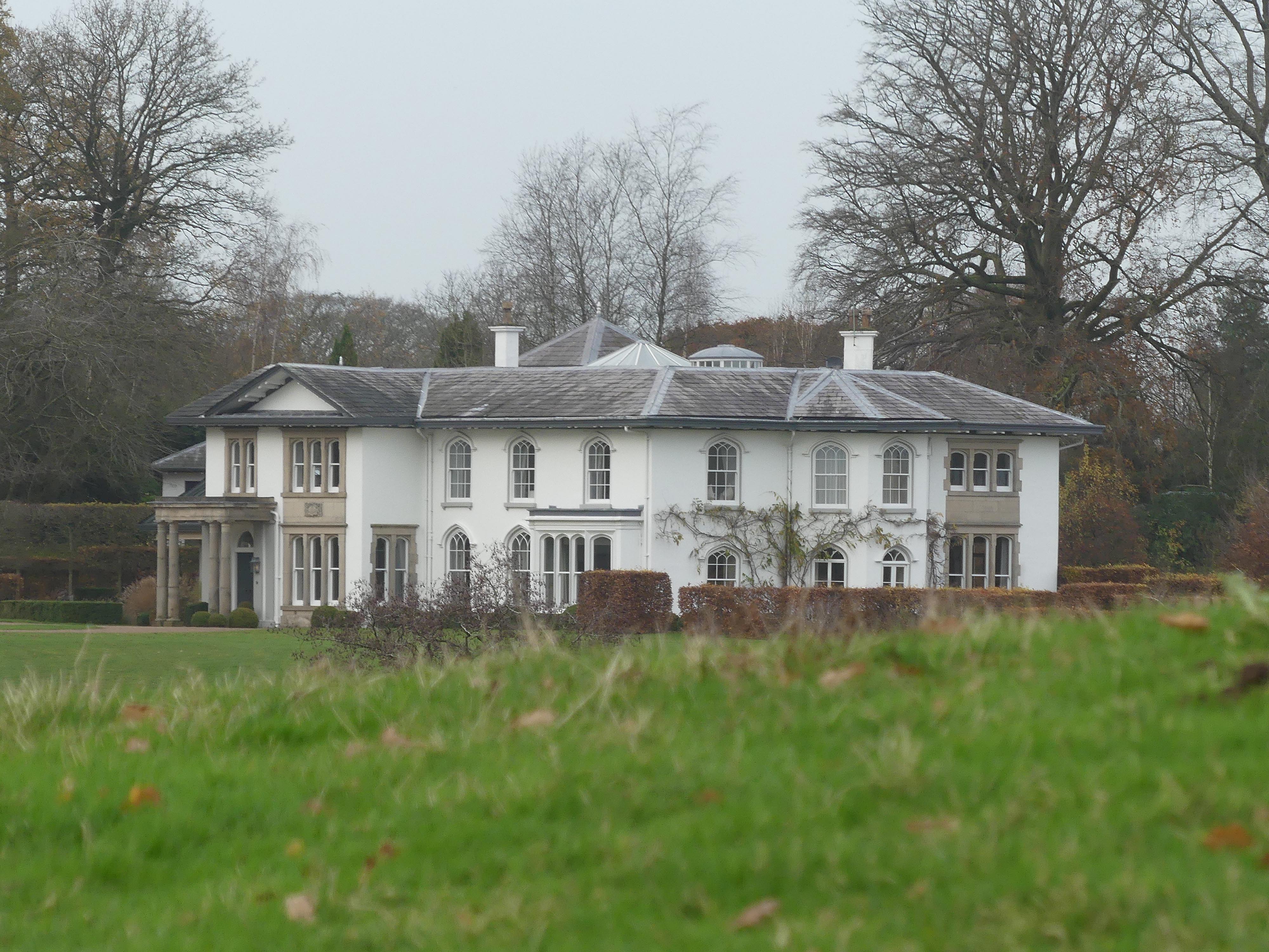
North Rode Manor

North Rode Manor is a country house standing to the north of the village of North Rode, Cheshire, England. The house was built between 1838 and 1840 for...

North Rode railway station

North Rode railway station originally North Rode junction served the village of North Rode, Cheshire. The station was opened by the North Staffordshire...

Gawsworth

Gawsworth is a civil parish and village in the unitary authority of Cheshire East and the ceremonial county of Cheshire, England. The population of the...

Bosley Lock Flight

Bosley Lock Flight (grid reference SJ904662) is a flight of twelve canal locks, situated on the Macclesfield Canal at Bosley, near Macclesfield, Cheshire...

Eaton, Cheshire East

Eaton is a village and civil parish in the unitary authority of Cheshire East and the ceremonial county of Cheshire, England. According to the 2001 census...

Christ Church, Eaton

Christ Church is in Macclesfield Road, the A536 road, to the south of the village of Eaton, Cheshire East, England. It is an active Anglican parish church...

Nearby Amenities

Located within 500m of 53.199896,-2.173353
The data included in this document is from www.openstreetmap.org. The data is made available under ODbL.

Have you been to Moss Wood?

Leave your review of Moss Wood below (or comments, questions and feedback).