Ice House Plantation
Wood, Forest in Staffordshire South Staffordshire
England
Ice House Plantation
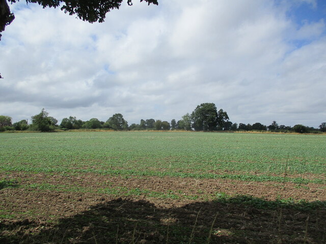
Ice House Plantation is a picturesque woodland located in Staffordshire, England. Covering an area of approximately 100 acres, it is known for its diverse range of trees, wildlife, and historical significance. The plantation is situated within the broader Cannock Chase Forest, a designated Area of Outstanding Natural Beauty.
The woodland boasts a variety of tree species, including oak, birch, beech, and pine, creating a rich and vibrant landscape throughout the seasons. The dense canopy provides a haven for wildlife, with an abundance of bird species such as woodpeckers, owls, and thrushes. Visitors to Ice House Plantation may also be lucky enough to spot deer, foxes, and rabbits amidst the tranquil surroundings.
One of the notable features of the plantation is its historic ice house, which gives the area its name. Built during the 18th century, the ice house was used to store ice and preserve food before the advent of refrigeration. The well-preserved structure serves as a reminder of the area's past and provides an intriguing glimpse into the lives of those who once lived and worked in the woodland.
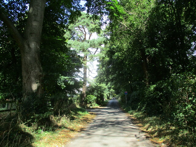
Ice House Plantation is a popular destination for outdoor enthusiasts, offering a network of walking trails that wind through the woodland. These trails provide opportunities for peaceful strolls, wildlife spotting, and even picnicking in designated areas. The plantation is also valued for its educational and recreational potential, attracting school groups and nature lovers alike.
In conclusion, Ice House Plantation in Staffordshire is a captivating woodland retreat, rich in natural beauty and historical significance. With its diverse flora and fauna, as well as its intriguing ice house, it offers a unique and immersive experience for visitors of all ages.
If you have any feedback on the listing, please let us know in the comments section below.
Ice House Plantation Images
Images are sourced within 2km of 52.702857/-2.1712113 or Grid Reference SJ8811. Thanks to Geograph Open Source API. All images are credited.
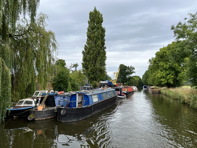
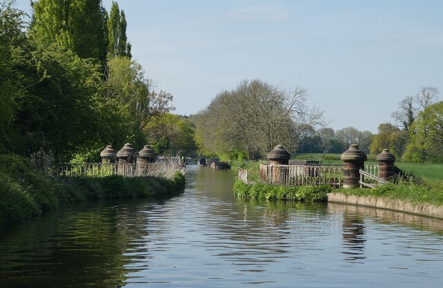
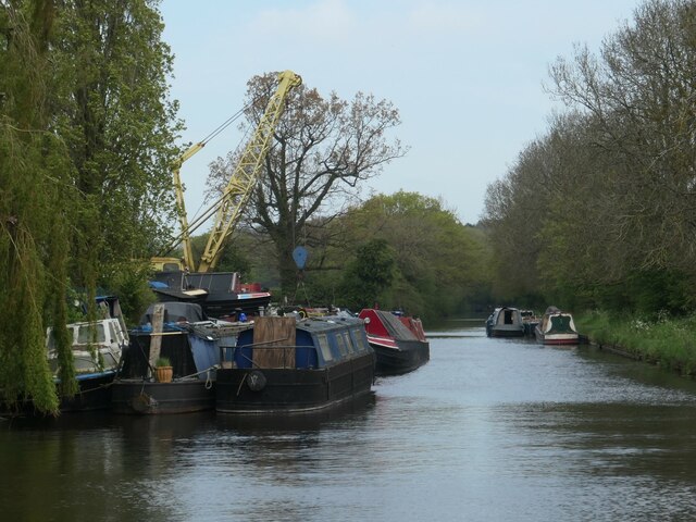
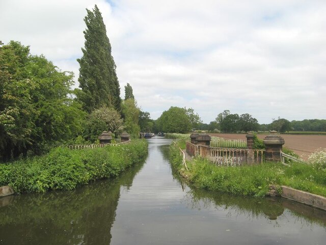
![Stretton Aqueduct, Shropshire Union Canal The text on the iron trough aqueduct proclaims this to be the Birmingham and Liverpool [Junction] Canal, which ran from Nantwich to Autherley Junction outside Wolverhampton and later became part of the Shropshire Union system. The name of the engineer Thomas Telford is below. Telford also engineered the turnpike road that passes beneath it, the A5 London to Holyhead road.](https://s1.geograph.org.uk/geophotos/07/39/45/7394513_0848dcc4.jpg)
![Stretton Aqueduct, Shropshire Union Canal (detail) The text on the iron trough aqueduct proclaims this to be the Birmingham and Liverpool [Junction] Canal, which ran from Nantwich to Autherley Junction outside Wolverhampton and later became part of the Shropshire Union system. The name of the engineer Thomas Telford is below. Telford also engineered the turnpike road that passes beneath it, the A5 London to Holyhead road.](https://s2.geograph.org.uk/geophotos/07/39/45/7394514_344d265d.jpg)
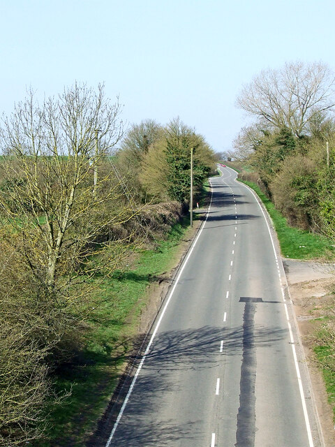
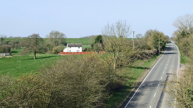
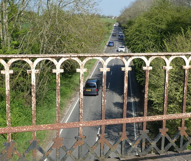
![Watling Street [A5], from Stretton Aqueduct The aqueduct railings could do with a repaint. The former Roman road is also a civil parish boundary here - Brewood &amp; Coven to the left/south, Lapley, Stretton &amp; Wheaton Aston to the right/north.](https://s2.geograph.org.uk/geophotos/07/51/37/7513782_52dce46e.jpg)
Ice House Plantation is located at Grid Ref: SJ8811 (Lat: 52.702857, Lng: -2.1712113)
Administrative County: Staffordshire
District: South Staffordshire
Police Authority: Staffordshire
What 3 Words
///hometown.notes.mailboxes. Near Brewood, Staffordshire
Nearby Locations
Related Wikis

Stretton Hall, Staffordshire
Stretton Hall is an early 18th-century mansion house at Stretton, South Staffordshire. It is the home of a branch of the Monckton family descended from...
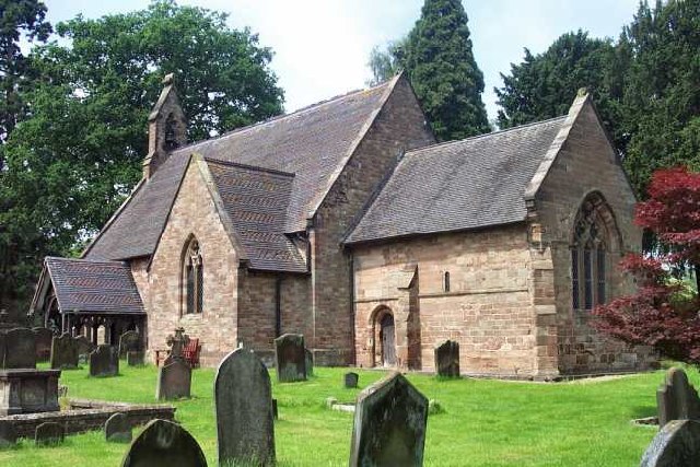
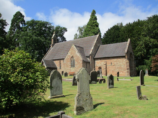
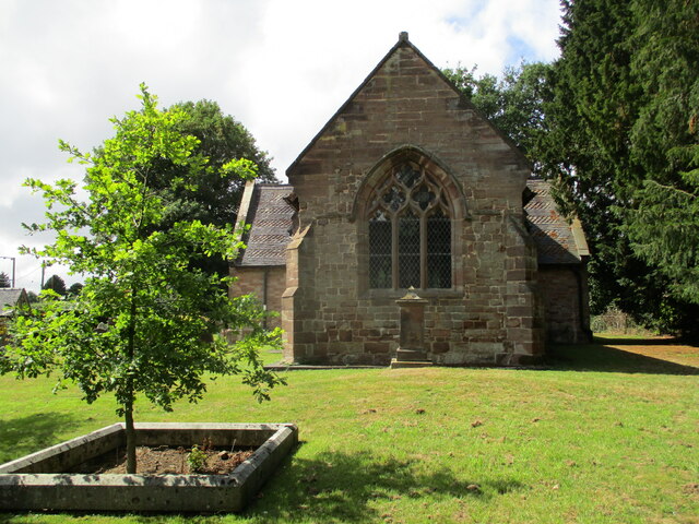
St John's Church, Stretton
St John's Church, Stretton is the Church of England parish church of Stretton, South Staffordshire. == History == The chancel is 12th century. The nave...
Stretton, South Staffordshire
Stretton is a village and former civil parish, now in the parish of Lapley, Stretton and Wheaton Aston, in the South Staffordshire district, in the county...

Lapley
Lapley is a village and former civil parish, now in the parish of Lapley, Stretton and Wheaton Aston, in the South Staffordshire district, in the county...

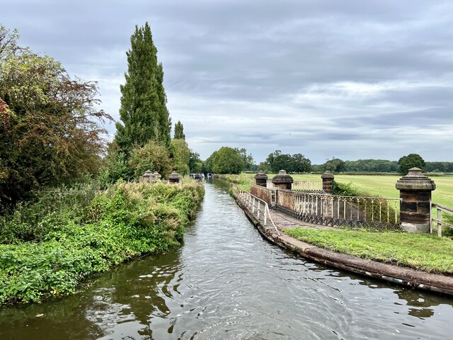
Stretton Aqueduct
Stretton Aqueduct is a short cast iron canal aqueduct between Stretton and Brewood, and near to Belvide Reservoir, in south Staffordshire, England. Designed...

Lapley Priory
Lapley Priory was a priory in Staffordshire, England. Founded at the very end of the Anglo-Saxon period, it was an alien priory, a satellite house of the...

Bickford
Bickford is a village in Staffordshire, England. For population details taken at the 2011 census see Penkridge == See also == Listed buildings in Penkridge...
Pennocrucium
Pennocrucium was a Romano-British settlement and military complex located at present day Water Eaton, just south of Penkridge, Staffordshire, with evidence...
Nearby Amenities
Located within 500m of 52.702857,-2.1712113Have you been to Ice House Plantation?
Leave your review of Ice House Plantation below (or comments, questions and feedback).