North Rode

Settlement in Cheshire

England

North Rode

The Macclesfield Canal - approaching Peckerpool Wood Bridge near Bosley
The Macclesfield Canal - approaching Peckerpool Wood Bridge near Bosley Credit: Colin Park

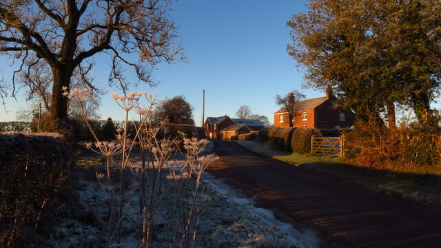
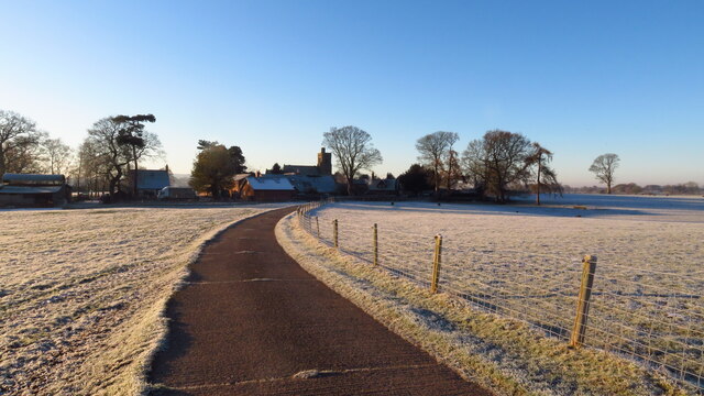
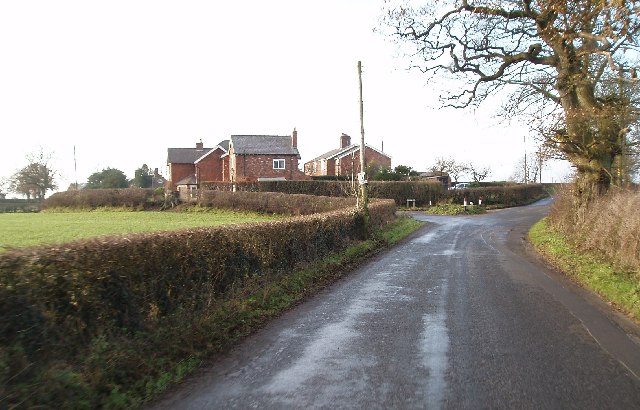
North Rode is a small village located in the county of Cheshire, in the North West of England. Situated approximately 4 miles east of the town of Congleton, it is nestled amidst the picturesque countryside of the Cheshire Plain.

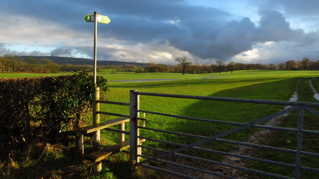
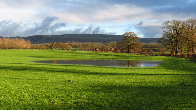
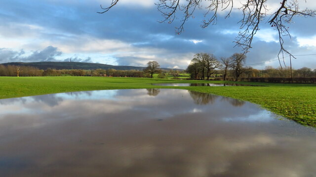
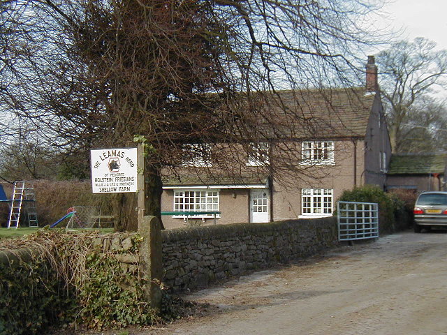
The village is known for its quaint and charming atmosphere, with a population of around 500 residents. It is characterized by its idyllic rural setting, surrounded by rolling hills, lush green fields, and scenic views. The landscape offers a peaceful and tranquil environment, making it an attractive destination for those seeking a quiet retreat or a haven for nature enthusiasts.

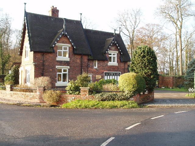
North Rode is home to a number of historic buildings, with St. Michael's Church being a notable landmark. This Grade II listed church dates back to the 19th century and features stunning architectural details, including stained glass windows and a tower with a clock.

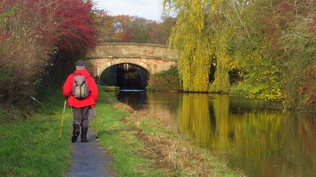
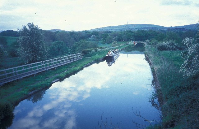
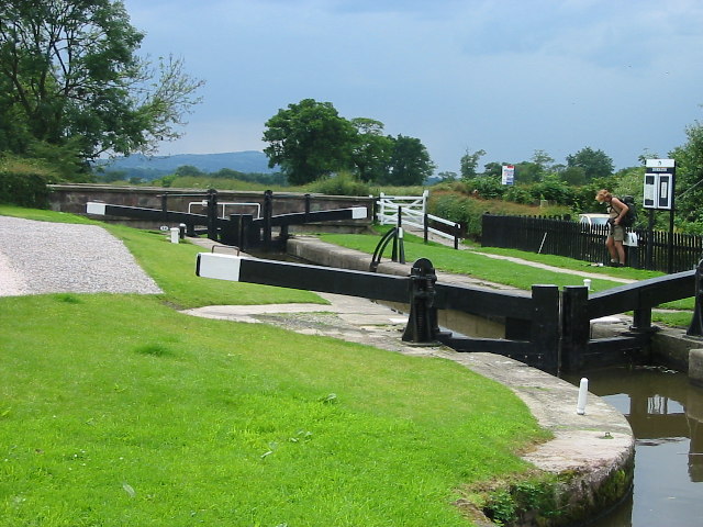
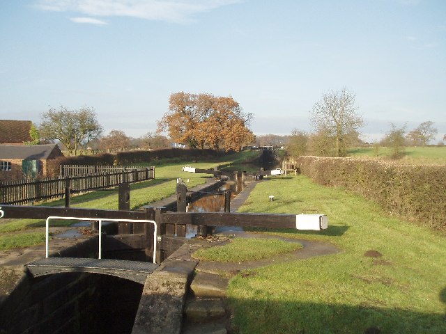
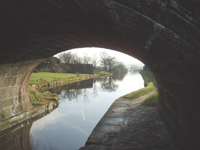
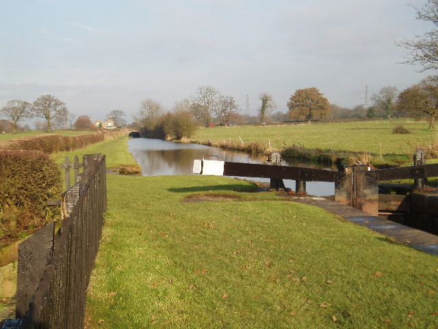
The village also benefits from its proximity to the Macclesfield Canal, which runs nearby. This waterway provides opportunities for leisurely walks, cycling, and boating activities, adding to the recreational offerings of the area.

While North Rode is predominantly a residential area, it is conveniently located near Congleton, where residents can access a wider range of amenities and services. The village maintains a close-knit community spirit, with various social events and activities organized throughout the year.

Overall, North Rode offers a peaceful and picturesque lifestyle, embracing the beauty of the Cheshire countryside while providing easy access to nearby towns and cities.

If you have any feedback on the listing, please let us know in the comments section below.
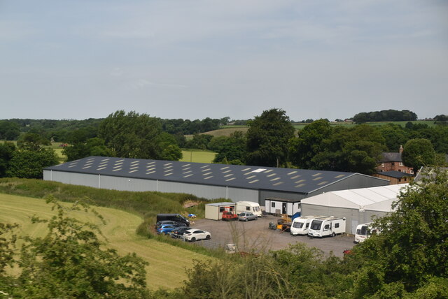
North Rode Images

Images are sourced within 2km of 53.195576/-2.167584 or Grid Reference SJ8866. Thanks to Geograph Open Source API. All images are credited.

The Macclesfield Canal - approaching Peckerpool Wood Bridge near Bosley
Footpath to North Rode at Rodegreen
Flooded field by Shellow Lane, Gawsworth
Rodegreen & Pexall Rd
North Rode Church & Yew Tree Farm
Mile Marker, Macclesfield Canal Milestone on the bank of the towpath. In the parish of Congleton.

Inscription: ¼ 

Milestone Society National ID: MAC-18¼
Mile Marker, Macclesfield Canal
Milestone on the bank of the towpath. In the parish of Congleton. Inscription: ¼ Milestone Society National ID: MAC-18¼
Mile Marker, Macclesfield Canal Milestone on the bank of the towpath. In the parish of Congleton West of bridge 62.

Inscription: ½ 

Milestone Society National ID: MAC-18½
Mile Marker, Macclesfield Canal
Milestone on the bank of the towpath. In the parish of Congleton West of bridge 62. Inscription: ½ Milestone Society National ID: MAC-18½
Crossley Stud Farm
Crossley Stud Farm
The Macclesfield Canal below Bosley locks Looking north-east towards the radio mast on Croker Hill.  The canal is on an embankment here; in the middle distance it narrows where an aqueduct carries it over the River Dane.
The Macclesfield Canal below Bosley locks
Looking north-east towards the radio mast on Croker Hill. The canal is on an embankment here; in the middle distance it narrows where an aqueduct carries it over the River Dane.
Lock at North Rode A lock on the Macclesfield Canal at North Rode in Cheshire. This is the start of the canals descent on to the eastern edge of the Cheshire Plain on its way to the Trent and Mersey Canal at Kidsgrove.
Lock at North Rode
A lock on the Macclesfield Canal at North Rode in Cheshire. This is the start of the canals descent on to the eastern edge of the Cheshire Plain on its way to the Trent and Mersey Canal at Kidsgrove.
Shellow Farm, Gawsworth
Bosley Locks, Macclesfield Canal This is Lock No 5 of the flight of twelve taken from the A54 bridge. Lock No 4 also can be seen a short distance ahead.
Bosley Locks, Macclesfield Canal
This is Lock No 5 of the flight of twelve taken from the A54 bridge. Lock No 4 also can be seen a short distance ahead.
The A54 road bridge over the Macclesfield canal Looking south
The A54 road bridge over the Macclesfield canal
Looking south
Bosley Locks, Macclesfield Canal Lock No 2. Bosley Top Lock can be seen in the distance under the bridge.
Bosley Locks, Macclesfield Canal
Lock No 2. Bosley Top Lock can be seen in the distance under the bridge.
Gateway Cottage Shellow Lane Park road junction with Shellow lane. This is the Station Master's house built in the style of the North Staffordshire Railway Company. Station now demolished.
Gateway Cottage Shellow Lane
Park road junction with Shellow lane. This is the Station Master's house built in the style of the North Staffordshire Railway Company. Station now demolished.
Bell Farm, Shellow Lane, North Rode
Mile End Corner in North Rode Taken on Shellow Lane, Pexhall Road to left. Looking west. Notice the small grassed road mound at the junction. Now tarmaced over by the highways department.
Mile End Corner in North Rode
Taken on Shellow Lane, Pexhall Road to left. Looking west. Notice the small grassed road mound at the junction. Now tarmaced over by the highways department.
Show me another place!

North Rode is located at Grid Ref: SJ8866 (Lat: 53.195576, Lng: -2.167584)

Unitary Authority: Cheshire East

Police Authority: Cheshire

What 3 Words

///neatly.danger.flame. Near Eaton, Cheshire

Related Wikis

St Michael's Church, North Rode

St Michael's Church is in Church Lane, North Rode, Cheshire, England. It is an active Anglican parish church in the deanery of Macclesfield, the archdeaconry...

North Rode

North Rode is a small village and civil parish in the unitary authority of Cheshire East and the ceremonial county of Cheshire, England. According to the...
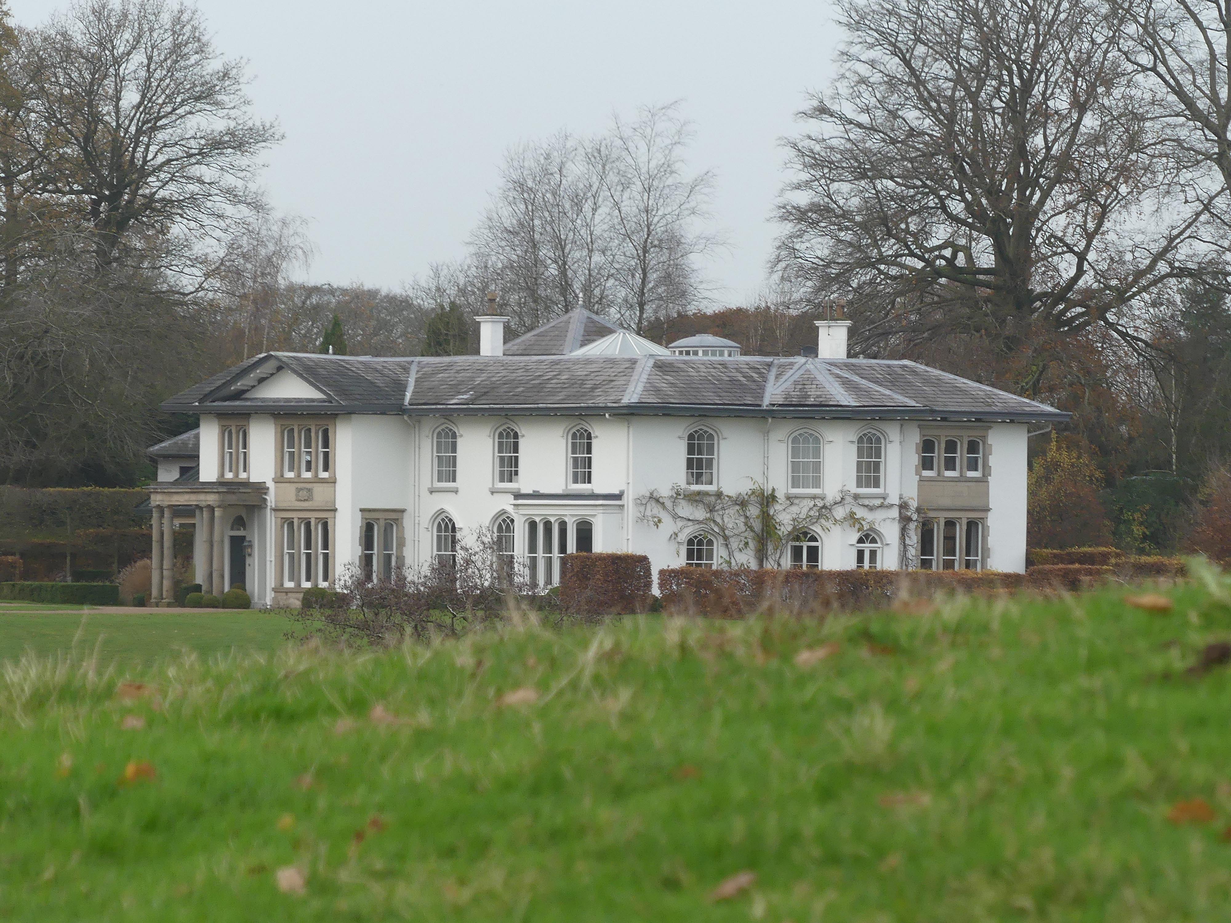
North Rode Manor

North Rode Manor is a country house standing to the north of the village of North Rode, Cheshire, England. The house was built between 1838 and 1840 for...

North Rode railway station

North Rode railway station originally North Rode junction served the village of North Rode, Cheshire. The station was opened by the North Staffordshire...

Nearby Amenities

Located within 500m of 53.195576,-2.167584
Post Box
Royal Cypher: EIIR
Royal Cypher Wikidata: Q33102113
Lat/Long: 53.1957584/-2.167552
Bus Stop
North Rode, Church Lane / St Michael's Church
Bus: yes
Naptan AtcoCode: 0600MA19082
Naptan Bearing: SE
Naptan BusStopType: CUS
Naptan CommonName: St Michael's Church
Naptan Indicator: o/s
Naptan Landmark: St Michael's Church
Naptan LocalityName: North Rode
Naptan NaptanCode: chewmwa
Naptan ShortCommonName: St Michael's Church
Naptan Street: Church Lane
Naptan Verified: no
Network: Cheshire East Council
Operator: Ansa Transport
Public Transport: platform
Source: naptan_import
Lat/Long: 53.195595/-2.1672286
Yew Tree Farm
Place: locality
Lat/Long: 53.1963504/-2.1660671
Barrier: kissing_gate
Material: metal
Lat/Long: 53.1916288/-2.169906
Barrier: kissing_gate
Material: metal
Lat/Long: 53.1913936/-2.168088
North Rode
Place: hamlet
Wikidata: Q2077889
Wikipedia: en:North Rode
Lat/Long: 53.195512/-2.1663993
The data included in this document is from www.openstreetmap.org. The data is made available under ODbL.

Have you been to North Rode?

Leave your review of North Rode below (or comments, questions and feedback).