Ripley, North
Settlement in Hampshire New Forest
England
Ripley, North
Ripley is a small village located in the county of Hampshire, England. Situated in the district of Basingstoke and Deane, it is nestled in the picturesque North Hampshire countryside. The village is located just off the A33 road, approximately 5 miles north of the town of Basingstoke.
Ripley has a rich history, dating back to medieval times. The village is known for its traditional thatched-roof cottages, charming country lanes, and historic buildings. The centerpiece of the village is Ripley Church, a Grade II* listed building that dates back to the 12th century. The church is renowned for its impressive stained glass windows and intricate woodwork.
Despite its small size, Ripley offers a range of amenities for its residents and visitors. The village boasts a cozy pub, The Anchor Inn, where locals and tourists alike can enjoy a pint of traditional ale or a hearty meal. Additionally, there is a village shop that provides essential groceries and other supplies.
The surrounding countryside provides ample opportunities for outdoor activities. The area is dotted with beautiful walking and cycling trails, allowing visitors to explore the idyllic English countryside. The nearby Basingstoke Canal is a popular spot for boating and angling.
Overall, Ripley is a charming and historic village that offers a tranquil escape from the hustle and bustle of nearby towns and cities. With its quaint architecture, friendly community, and stunning countryside, it is a hidden gem in the heart of North Hampshire.
If you have any feedback on the listing, please let us know in the comments section below.
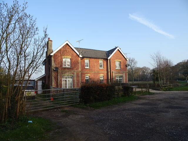
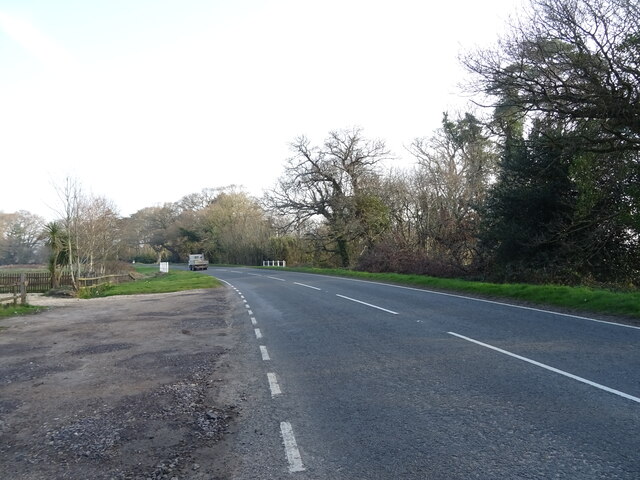
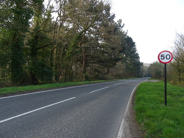
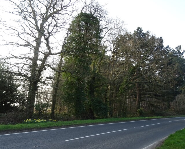
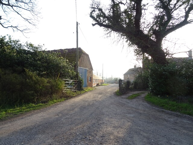
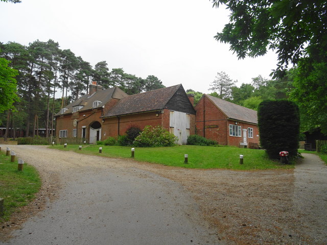
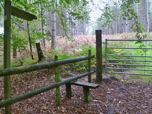
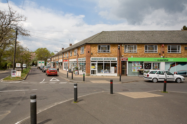
Ripley, North Images
Images are sourced within 2km of 50.796738/-1.762868 or Grid Reference SZ1799. Thanks to Geograph Open Source API. All images are credited.


Ripley, North is located at Grid Ref: SZ1799 (Lat: 50.796738, Lng: -1.762868)
Administrative County: Hampshire
District: New Forest
Police Authority: Hampshire
What 3 Words
///flukes.crust.forwarded. Near Bransgore, Hampshire
Nearby Locations
Related Wikis

Avon Tyrrell House
Avon Tyrrell is an historic manor within the parish of Sopley, Hampshire. It is situated within the New Forest, near Christchurch. The present manor house...

RAF Sopley
RAF Sopley was a World War II station, codenamed Starlight, near the village of Sopley in Hampshire. The Radar Station was opened in December 1940. In...
Sandford, Hampshire
Sandford is a small hamlet in the New Forest National Park of Hampshire, England. The nearest town to Sandford is Ringwood, which is approximately 2.6...

RAF Winkton
Royal Air Force Winkton, or more simply RAF Winkton, is a former Royal Air Force Advanced Landing Ground previously in Hampshire but now, due to County...

Bisterne
Bisterne is a hamlet in the civil parish of Ringwood in the New Forest National Park in Hampshire, England. Its nearest town is Ringwood, which lies 3...

RAF Bisterne
Royal Air Force Bisterne or more simply RAF Bisterne is a former Royal Air Force Advanced Landing Ground in Hampshire, England. The airfield is located...
Bransgore
Bransgore is a village and civil parish within the New Forest District, Hampshire, England. The village developed in the 19th century when a church and...

All Saints' Church, Thorney Hill
All Saints' Church is a Church of England church in Thorney Hill, Hampshire, England. It was built in 1905–06 and has been a Grade I listed building since...
Nearby Amenities
Located within 500m of 50.796738,-1.762868Have you been to Ripley, North?
Leave your review of Ripley, North below (or comments, questions and feedback).