Melksham Without
Civil Parish in Wiltshire
England
Melksham Without

Melksham Without is a civil parish located in the county of Wiltshire, England. It covers an area of approximately 24 square miles and is situated to the east of the town of Melksham. The parish is bordered by the River Avon to the west and the county boundary with Berkshire to the east.
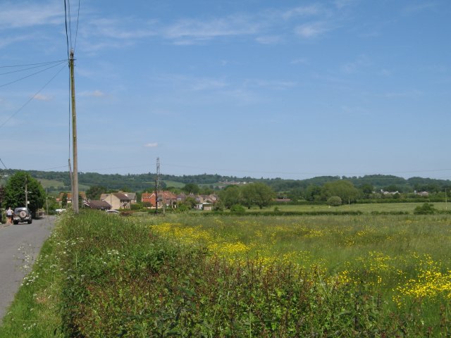
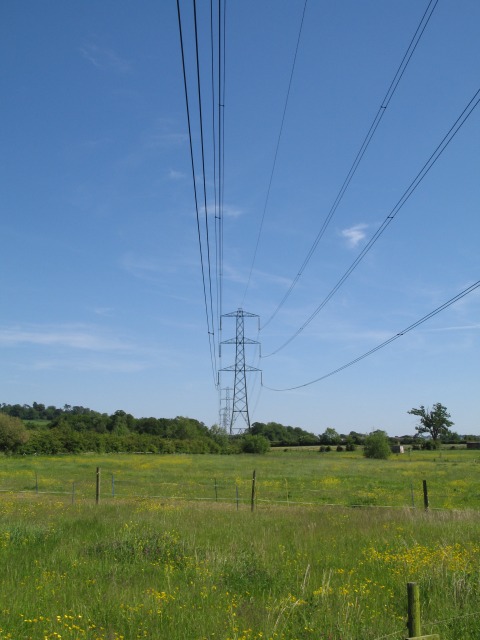
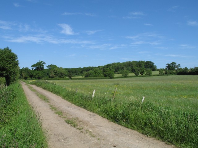
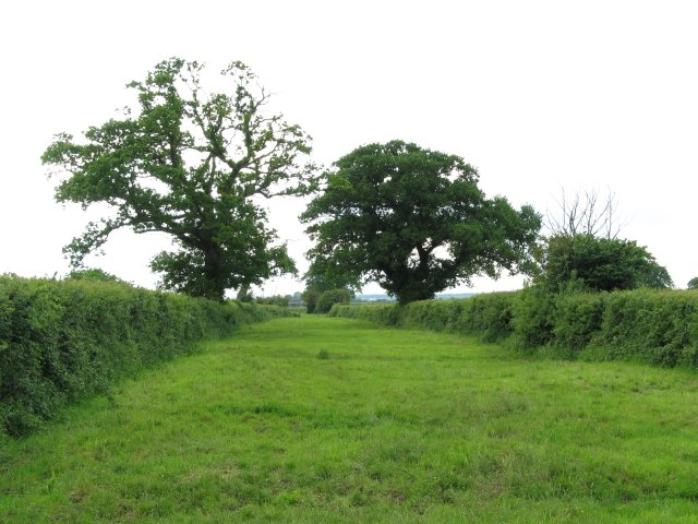
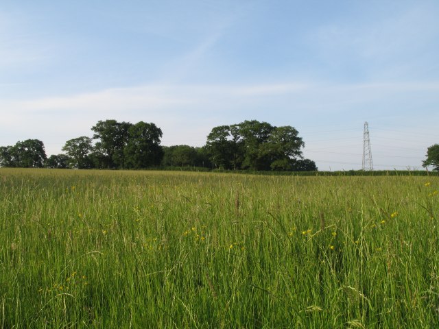
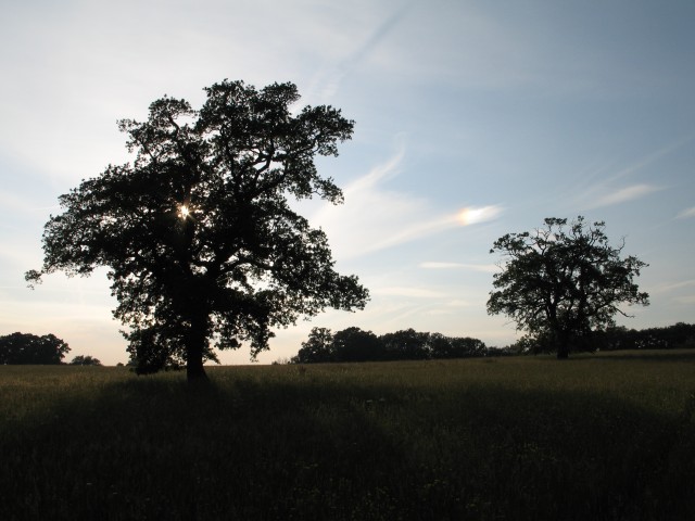
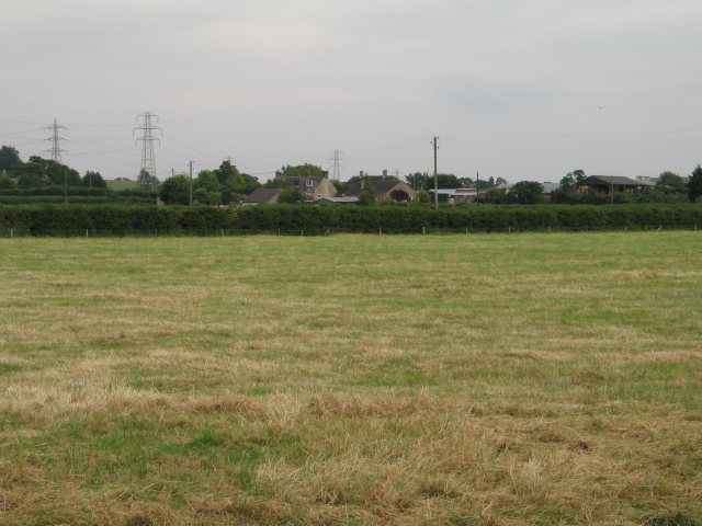
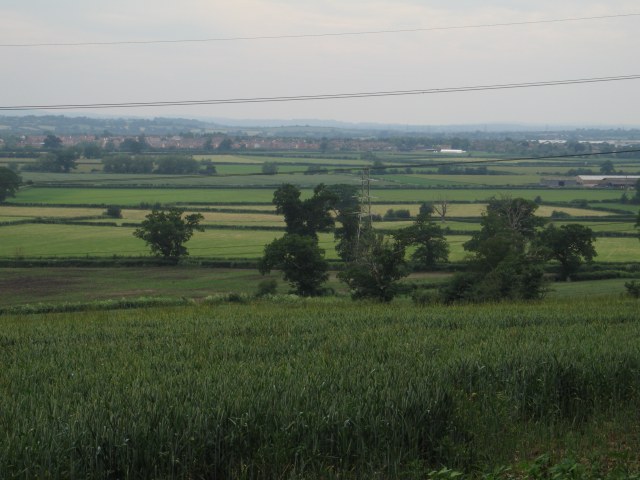
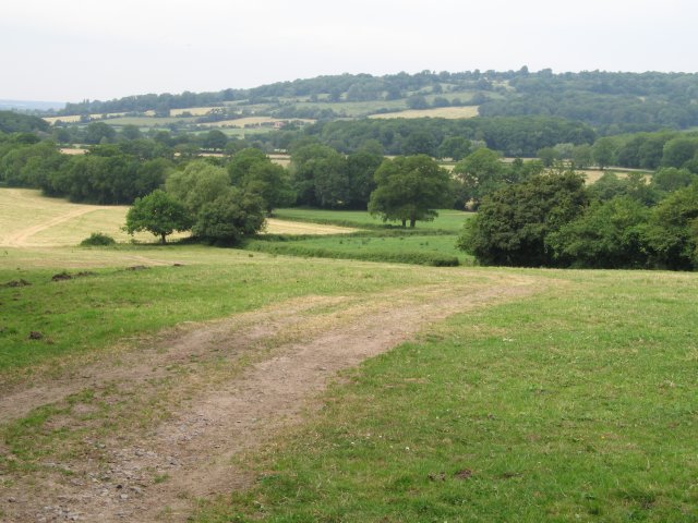
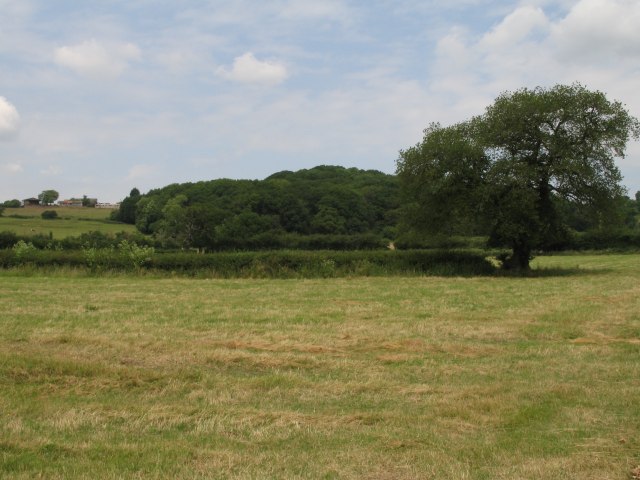
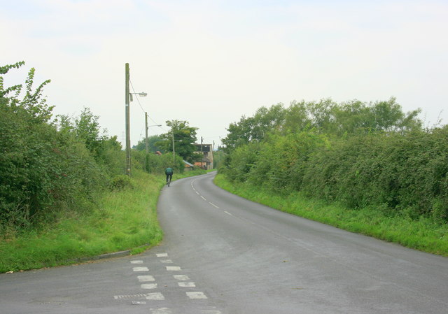
The landscape of Melksham Without is predominantly rural, with rolling hills and open farmland. The area is known for its picturesque countryside, with a number of walking and cycling routes that provide stunning views of the surrounding countryside.
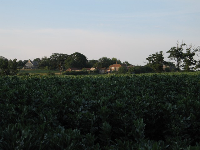
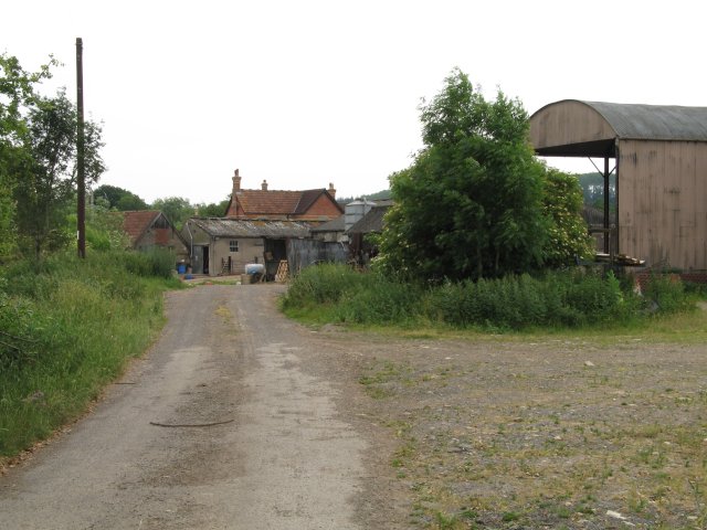
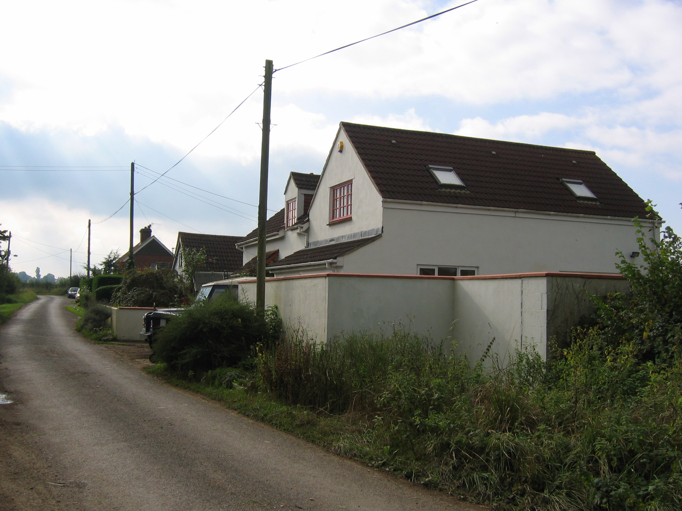
The parish is home to a number of small villages and hamlets, including Beanacre, Berryfield, and Shaw. These settlements have a rural charm and are characterized by traditional stone cottages and farmhouses. Agriculture is an important industry in the area, with many residents involved in farming and livestock rearing.
Melksham Without is well connected to the nearby towns and cities. The A350 road runs through the parish, providing easy access to Melksham and other surrounding areas. The parish also benefits from good transport links, with regular bus services connecting the villages to the town center and neighboring towns.
The community in Melksham Without is close-knit, with a strong sense of local identity. The parish has a number of community facilities, including a village hall and a primary school. There are also several local businesses, including shops, pubs, and restaurants, which serve both the residents and visitors to the area.
If you have any feedback on the listing, please let us know in the comments section below.
Melksham Without Images
Images are sourced within 2km of 51.382497/-2.098371 or Grid Reference ST9364. Thanks to Geograph Open Source API. All images are credited.


Melksham Without is located at Grid Ref: ST9364 (Lat: 51.382497, Lng: -2.098371)
Unitary Authority: Wiltshire
Police Authority: Wiltshire
What 3 Words
///equivocal.earth.wide. Near Melksham, Wiltshire
Related Wikis

Sandridge, Wiltshire
Sandridge is a dispersed rural community to the east of Melksham, Wiltshire, England. It is part of the civil parish of Melksham Without. An Ordnance...

Melksham Without
Melksham Without is a civil parish in the county of Wiltshire, England. It surrounds, but does not include, the town of Melksham and is the largest rural...

Melksham Town F.C.
Melksham Town Football Club is a football club based in Melksham, Wiltshire, England. Affiliated to the Wiltshire Football Association, they are currently...
Redstocks
Redstocks is a hamlet in Wiltshire, England; it is in the civil parish of Melksham Without and is 1.7 miles (2.7 km) east of Melksham. From 1886 to 1950...

Melksham Oak Community School
Melksham Oak Community School is a mixed secondary school and sixth form located in the southeast outskirts of Melksham, Wiltshire, England, for students...

Ebenezer Chapel, Melksham
The Ebenezer Chapel is a Baptist place of worship in the town of Melksham in the English county of Wiltshire. The chapel was built in 1835. It has been...

Seend railway station
Seend railway station was near the village of Seend in Wiltshire, England. The station was a stop on the Devizes Branch Line, between Semington and Bromham...

Melksham
Melksham () is a town and civil parish on the River Avon in Wiltshire, England, about 4.5 miles (7 km) northeast of Trowbridge and 6 miles (10 km) south...
Related Videos

Travel Blog: UK Places - Melksham, Wiltshire (2022) in 4K
Travel Blog: UK Places - Melksham, Wiltshire (2022) in 4K. A small town in Wiltshire, more famous for tyre manufacturing (Avon ...


Gastronomically Good Gaffs: Wetherspoons, The Bear Inn, Melksham
Gastronomically Good Gaffs: Wetherspoons, The Bear Inn, Melksham. The first problem was getting inside, the small lift did not ...

PCR TESTS FOR HOLIDAYS, BEWARE! £££
Unexpected costs for going on holiday.
Nearby Amenities
Located within 500m of 51.382497,-2.098371Have you been to Melksham Without?
Leave your review of Melksham Without below (or comments, questions and feedback).