Sandridge Park
Downs, Moorland in Wiltshire
England
Sandridge Park

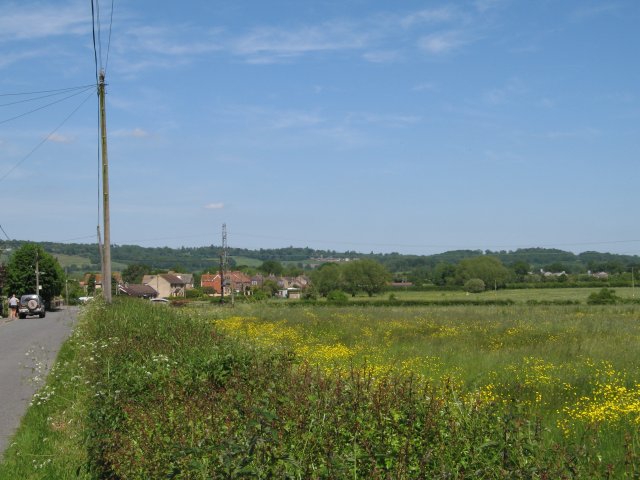
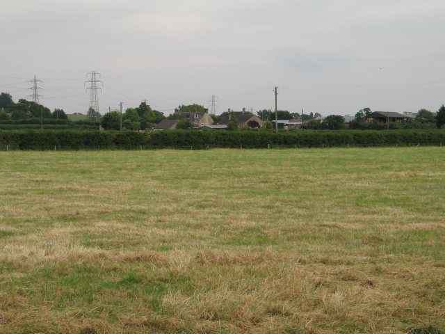
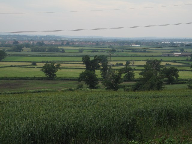
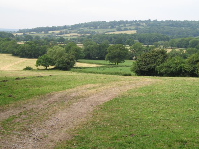
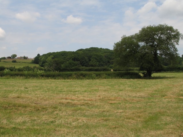
Sandridge Park, located in the county of Wiltshire, England, is a vast and picturesque estate encompassing downs and moorland. Covering an expansive area, the park offers visitors a unique blend of natural beauty, historical significance, and recreational opportunities.
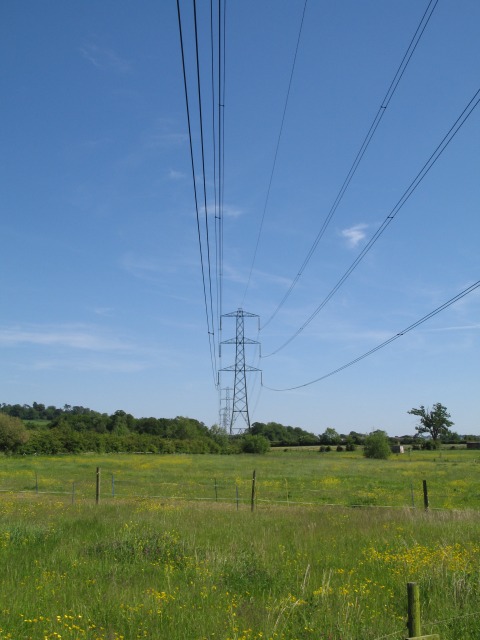
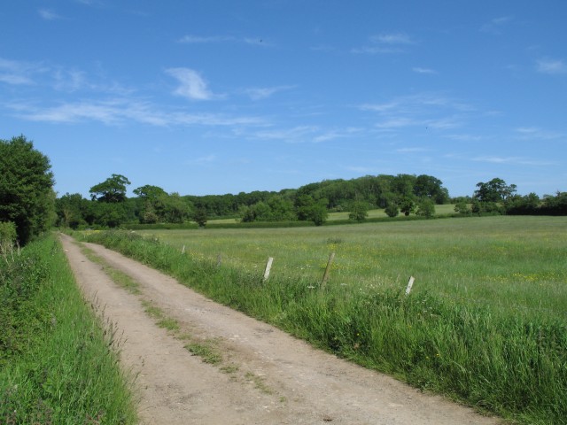
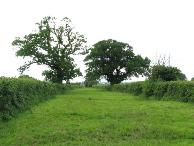
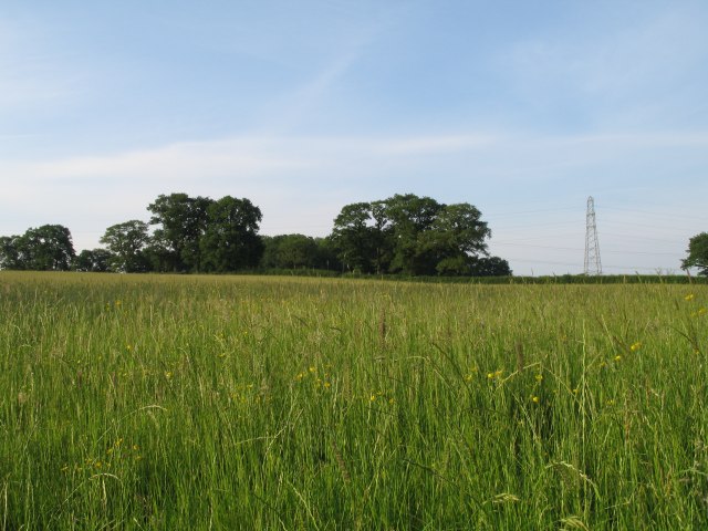
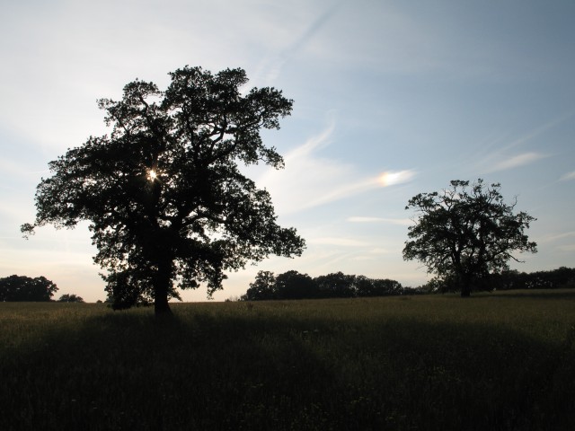
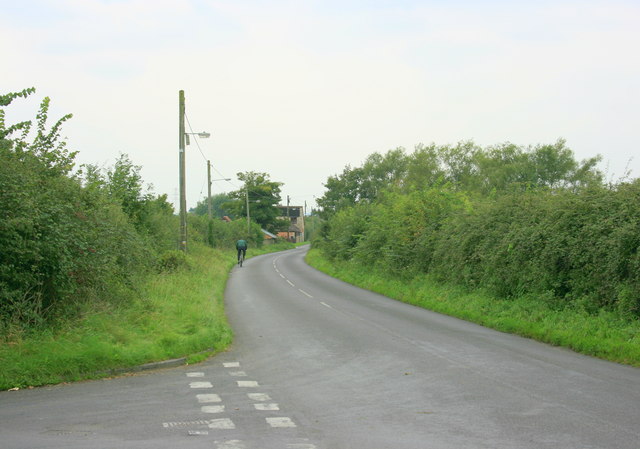
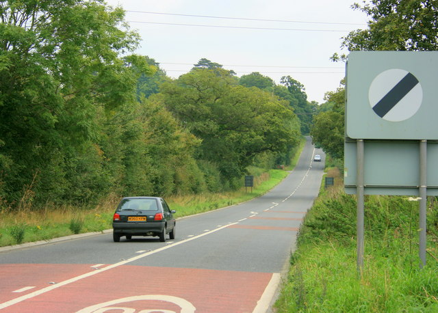
The park boasts a diverse landscape, with rolling downs and sprawling moorland, showcasing the region's stunning countryside. The downs are characterized by gently sloping hills covered in lush grasslands, providing a scenic backdrop for leisurely walks and picnics. The moorland, on the other hand, offers a more rugged and wild terrain, featuring heather-covered hills and rocky outcrops that create a captivating atmosphere.
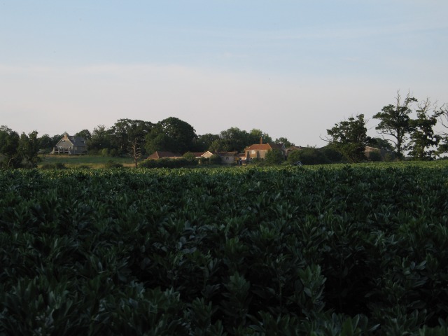
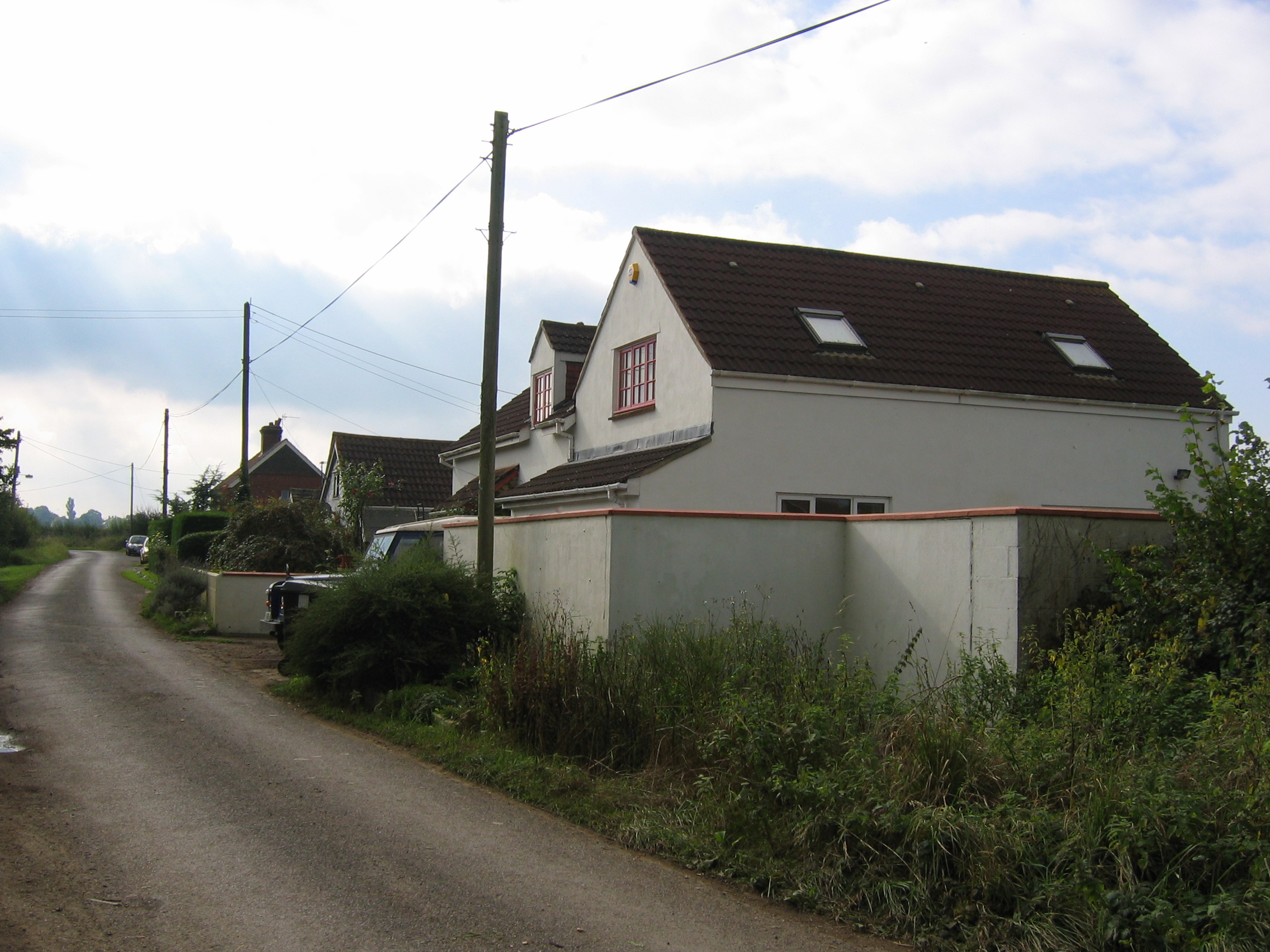
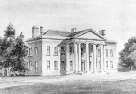
In addition to its natural splendor, Sandridge Park is steeped in history. The estate dates back to medieval times and was once owned by the powerful Hungerford family. Today, the park is home to several historic structures, including Sandridge House, a grand Georgian mansion that serves as a private residence.
Visitors to Sandridge Park can explore the extensive network of walking trails that crisscross the estate, providing opportunities to immerse themselves in the stunning vistas and discover the diverse flora and fauna that inhabit the area. The park is also popular among birdwatchers, as it attracts a wide variety of avian species.
Overall, Sandridge Park offers a unique blend of natural beauty and historical significance, making it a must-visit destination for nature enthusiasts and history buffs alike.
If you have any feedback on the listing, please let us know in the comments section below.
Sandridge Park Images
Images are sourced within 2km of 51.382739/-2.0964983 or Grid Reference ST9364. Thanks to Geograph Open Source API. All images are credited.


Sandridge Park is located at Grid Ref: ST9364 (Lat: 51.382739, Lng: -2.0964983)
Unitary Authority: Wiltshire
Police Authority: Wiltshire
What 3 Words
///collision.pilots.leaflet. Near Melksham, Wiltshire
Related Wikis

Sandridge, Wiltshire
Sandridge is a dispersed rural community to the east of Melksham, Wiltshire, England. It is part of the civil parish of Melksham Without. An Ordnance...

Melksham Without
Melksham Without is a civil parish in the county of Wiltshire, England. It surrounds, but does not include, the town of Melksham and is the largest rural...

Melksham Town F.C.
Melksham Town Football Club is a football club based in Melksham, Wiltshire, England. Affiliated to the Wiltshire Football Association, they are currently...
Redstocks
Redstocks is a hamlet in Wiltshire, England; it is in the civil parish of Melksham Without and is 1.7 miles (2.7 km) east of Melksham. From 1886 to 1950...

Melksham Oak Community School
Melksham Oak Community School is a mixed secondary school and sixth form located in the southeast outskirts of Melksham, Wiltshire, England, for students...
Spye Park
Spye Park is a former country estate in Bromham parish in Wiltshire, England. It lies north of Chittoe, about 1.5 miles (2.4 km) north-west of Bromham...

Ebenezer Chapel, Melksham
The Ebenezer Chapel is a Baptist place of worship in the town of Melksham in the English county of Wiltshire. The chapel was built in 1835. It has been...

Bromham, Wiltshire
Bromham is a village and civil parish in Wiltshire, England. The village is 3+1⁄2 miles (6 km) northwest of Devizes and the same distance east of Melksham...
Nearby Amenities
Located within 500m of 51.382739,-2.0964983Have you been to Sandridge Park?
Leave your review of Sandridge Park below (or comments, questions and feedback).