Brickyard Plantation

Wood, Forest in Wiltshire

England

Brickyard Plantation

Open fields north east of Melksham
Open fields north east of Melksham Credit: Doug Lee

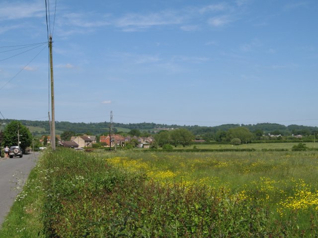
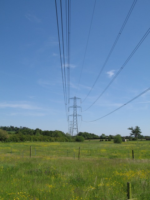
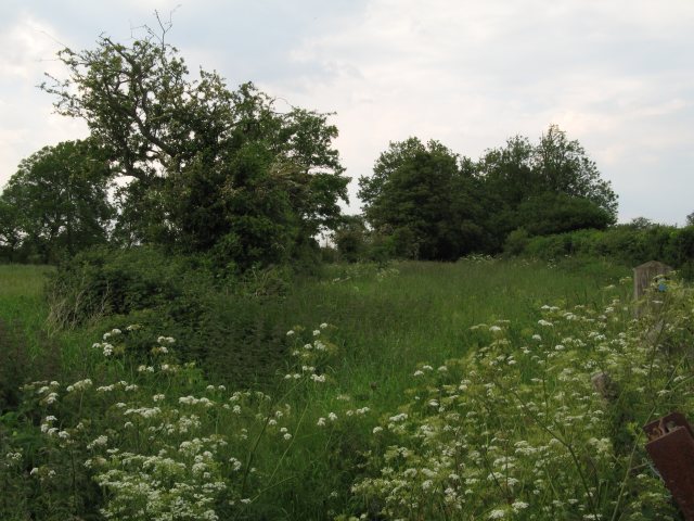
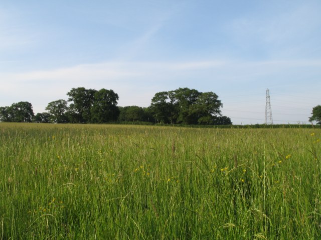
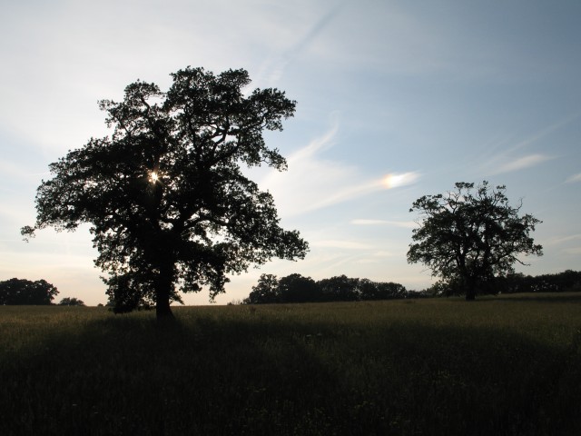
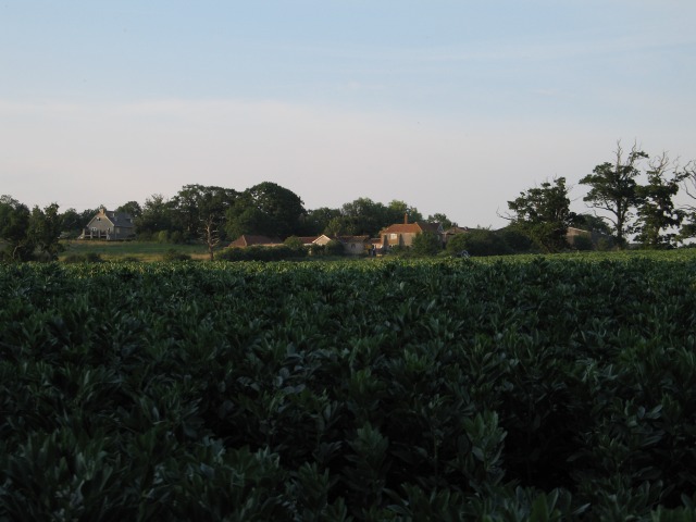
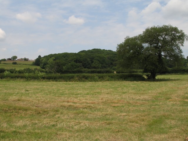
Brickyard Plantation, located in Wiltshire, England, is a picturesque woodland area encompassing approximately 200 acres. Situated in the heart of the county, this beautiful forest serves as a popular destination for nature enthusiasts, hikers, and wildlife lovers alike.

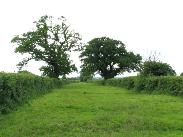
The plantation predominantly consists of a diverse range of deciduous and evergreen trees, creating a lush and vibrant environment. Visitors can admire the majestic oak, beech, and ash trees that dominate the landscape, providing a rich habitat for numerous species of flora and fauna. The forest floor is adorned with a colorful carpet of wildflowers during spring, while in autumn, the trees display a breathtaking array of reds, oranges, and yellows.

Nature enthusiasts will appreciate the abundance of wildlife that calls Brickyard Plantation home. The forest is a haven for various bird species, including woodpeckers, owls, and songbirds. Additionally, the plantation is inhabited by a myriad of mammals, such as foxes, rabbits, and deer, which can often be spotted amidst the dense foliage.

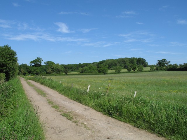
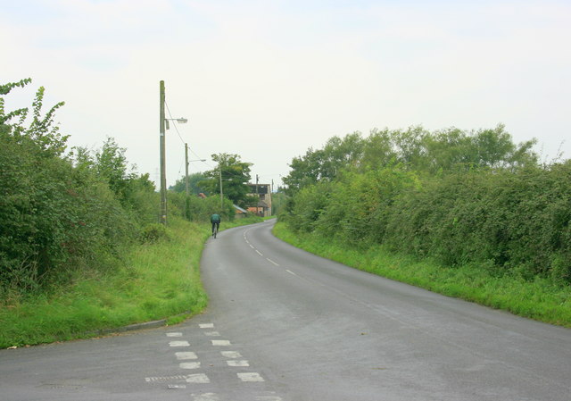
The woodland area is crisscrossed by a network of well-maintained trails, allowing visitors to explore the plantation at their leisure. These paths cater to both leisurely strolls and more challenging hikes, offering something for every level of fitness. Along the trails, visitors can find informative signposts detailing the history and ecology of the forest, enhancing the educational aspect of the experience.

Brickyard Plantation, with its natural beauty, diverse ecosystem, and tranquil atmosphere, provides a perfect escape from the hustle and bustle of everyday life. Whether one seeks solace in nature, desires to capture stunning photographs, or simply wishes to enjoy a leisurely walk, this enchanting woodland offers an idyllic retreat for all.

If you have any feedback on the listing, please let us know in the comments section below.

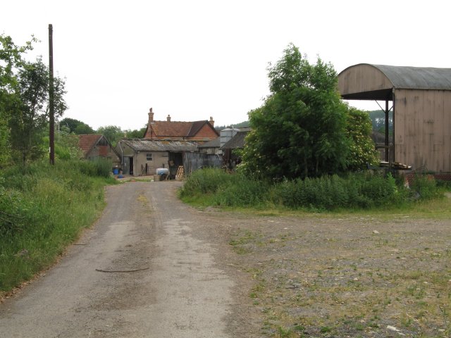
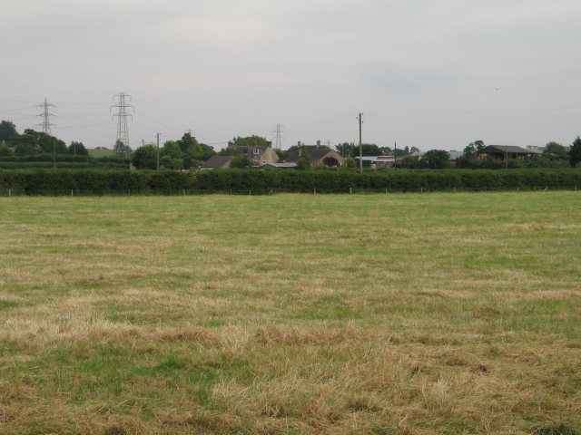
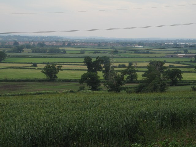
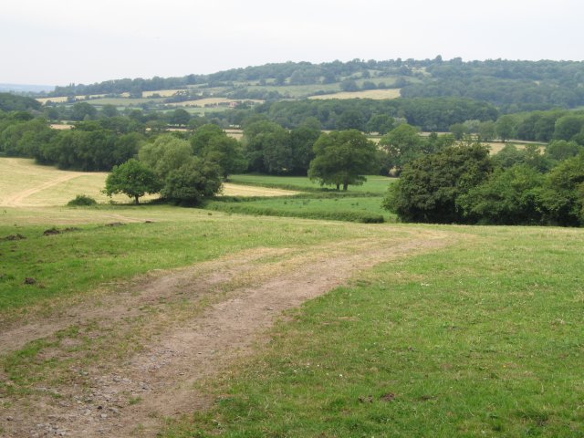
Brickyard Plantation Images

Images are sourced within 2km of 51.379725/-2.0987909 or Grid Reference ST9364. Thanks to Geograph Open Source API. All images are credited.

Open fields north east of Melksham
Woodrow Road and fields
Pylons over open countryside View southeast at the junction of Woodrow Road (National Cycle Route 4) and New Road
Pylons over open countryside
View southeast at the junction of Woodrow Road (National Cycle Route 4) and New Road
Fields of buttercups
Byway and open fields
St Andrews Church on Church Lane One of two churches on Church Lane - the other being a methodist chapel
St Andrews Church on Church Lane
One of two churches on Church Lane - the other being a methodist chapel
Snarlton Farm
Snarlton Farm
Bridleway - possible old drove road This rather impressive bridle way is presumably an old drove road.  It runs from Snarlton Farm <a href="https://www.geograph.org.uk/gridref/ST9263">ST9263</a> to the Redstocks <a href="https://www.geograph.org.uk/gridref/ST9362">ST9362</a> although just south of this position it becomes somewhat overgrown
Bridleway - possible old drove road
This rather impressive bridle way is presumably an old drove road. It runs from Snarlton Farm ST9263 to the Redstocks ST9362 although just south of this position it becomes somewhat overgrown
Overgrown bridleway/old drove road
Grassy field near  Broad Lane Farm
Grassy field near Broad Lane Farm
Trees near Broad Lane Farm Although this image was originally taken to record the spectrum resulting from sunlight reflected off the high level cloud to the upper left of the rightmost tree, this image does show the mature trees which can be found in this area.
Trees near Broad Lane Farm
Although this image was originally taken to record the spectrum resulting from sunlight reflected off the high level cloud to the upper left of the rightmost tree, this image does show the mature trees which can be found in this area.
Sandridge Farm
Sandridge Farm
Hack Farm
Hack Farm
Field near Blackmore Farm
View over crops towards Bowerhill
View from the end of Sandridge Lane
Open fields and woodland west of Bromham
2008 : Lane from Melksham to the back of beyond A nice quiet place to live. The lane to the left joins the A3102 in just over 1Km.
2008 : Lane from Melksham to the back of beyond
A nice quiet place to live. The lane to the left joins the A3102 in just over 1Km.
Show me another place!

Brickyard Plantation is located at Grid Ref: ST9364 (Lat: 51.379725, Lng: -2.0987909)

Unitary Authority: Wiltshire

Police Authority: Wiltshire

What 3 Words

///selection.alright.shams. Near Melksham, Wiltshire

Related Wikis

Sandridge, Wiltshire

Sandridge is a dispersed rural community to the east of Melksham, Wiltshire, England. It is part of the civil parish of Melksham Without. An Ordnance...

Melksham Without

Melksham Without is a civil parish in the county of Wiltshire, England. It surrounds, but does not include, the town of Melksham and is the largest rural...

Melksham Town F.C.

Melksham Town Football Club is a football club based in Melksham, Wiltshire, England. Affiliated to the Wiltshire Football Association, they are currently...

Redstocks

Redstocks is a hamlet in Wiltshire, England; it is in the civil parish of Melksham Without and is 1.7 miles (2.7 km) east of Melksham. From 1886 to 1950...

Nearby Amenities

Located within 500m of 51.379725,-2.0987909
Power: tower
Source: Bing
Lat/Long: 51.3759381/-2.0970524
Power: tower
Source: Bing
Lat/Long: 51.378025/-2.1030886
Colour: grey
Height: 50.27
Material: metal
Operator: National Grid
Operator Wikidata: Q1465461
Power: tower
Ref: YYM013
Source: Bing
Start Date: 1957
Structure: lattice
Lat/Long: 51.3821437/-2.1037382
Colour: grey
Height: 66.72
Material: metal
Operator: National Grid
Operator Wikidata: Q1465461
Power: tower
Ref: YYM014
Source: Bing
Start Date: 1957
Structure: lattice
Lat/Long: 51.3792094/-2.0998243
Power: tower
Source: Bing
Lat/Long: 51.3770056/-2.1001604
Colour: grey
Height: 53.08
Material: metal
Operator: National Grid
Operator Wikidata: Q1465461
Power: tower
Ref: YYM015
Start Date: 1957
Structure: lattice
Lat/Long: 51.3774663/-2.0955302
The data included in this document is from www.openstreetmap.org. The data is made available under ODbL.

Have you been to Brickyard Plantation?

Leave your review of Brickyard Plantation below (or comments, questions and feedback).