Chapel Plantation
Wood, Forest in Wiltshire
England
Chapel Plantation

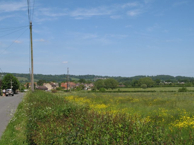
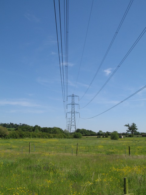
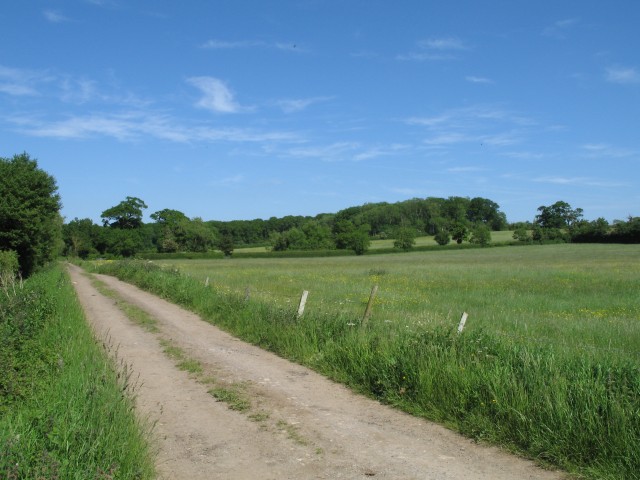
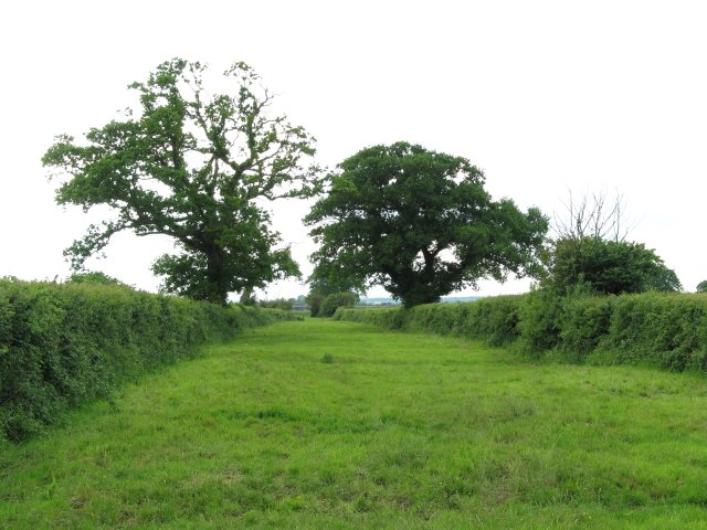
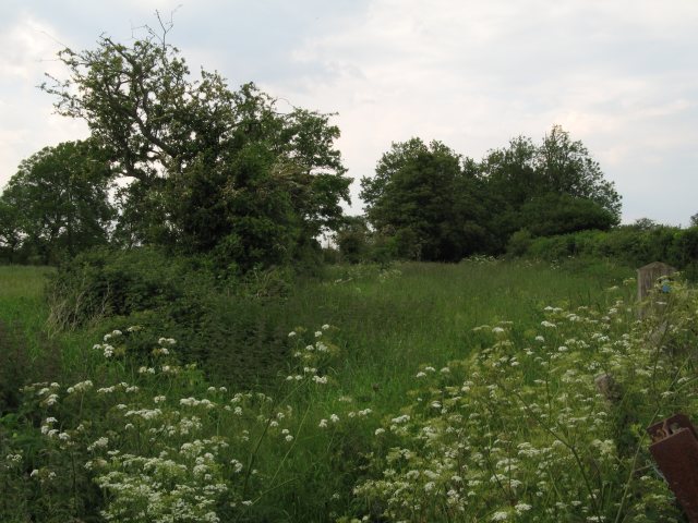
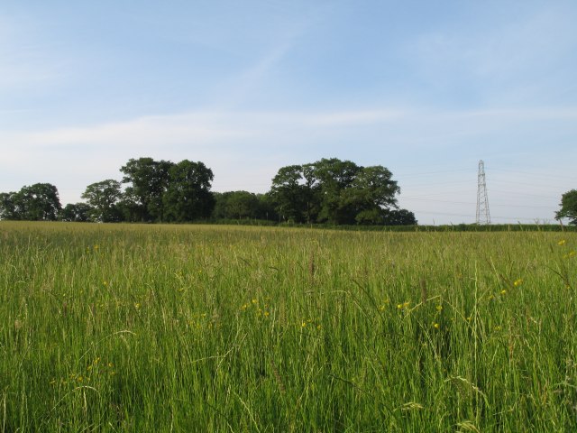
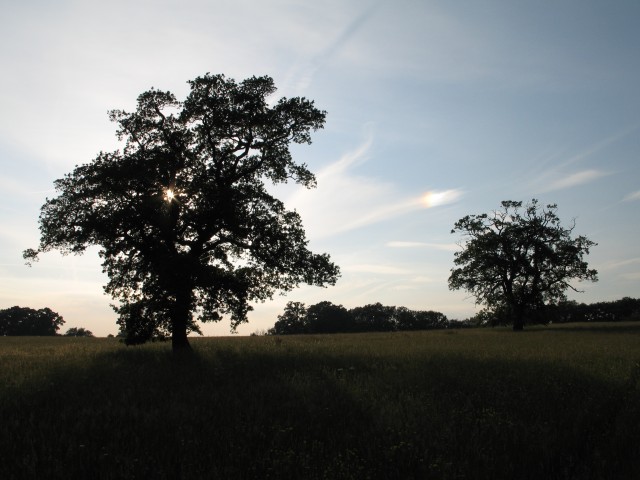
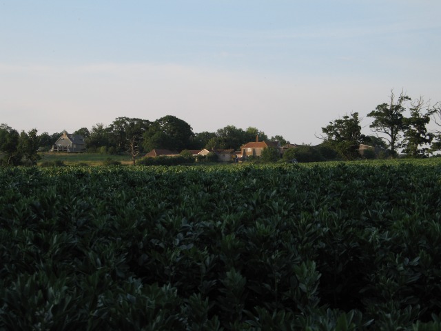
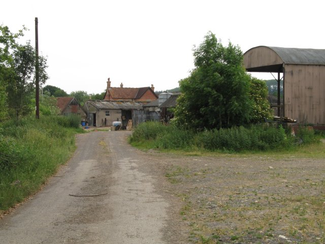
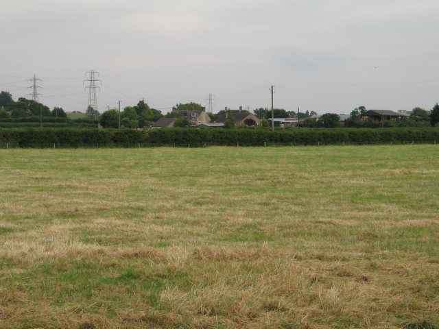
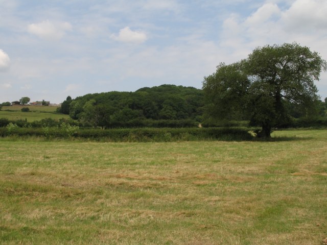
Chapel Plantation is a picturesque woodland located in the county of Wiltshire, England. Spread across a vast area, this plantation is known for its stunning natural beauty and diverse range of flora and fauna. It is situated near the small village of Chapel Plaister, adding to its charm and peaceful ambiance.
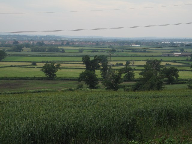
The woodland is primarily composed of deciduous trees, including oak, beech, and ash, which create a dense canopy that provides shade and shelter to the forest floor. This vibrant ecosystem supports a rich variety of plant life, such as bluebells, wood anemones, and wild garlic, which carpet the forest floor during the springtime.
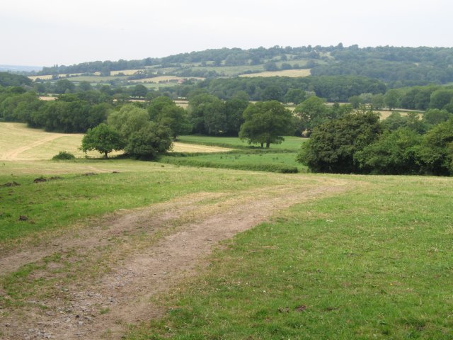
Chapel Plantation is a haven for wildlife enthusiasts, as it is home to a wide array of animals. Visitors may spot roe deer, badgers, and foxes, as well as numerous bird species, including woodpeckers, owls, and various woodland songbirds. The plantation's tranquil atmosphere and abundance of natural resources make it an ideal habitat for these creatures.
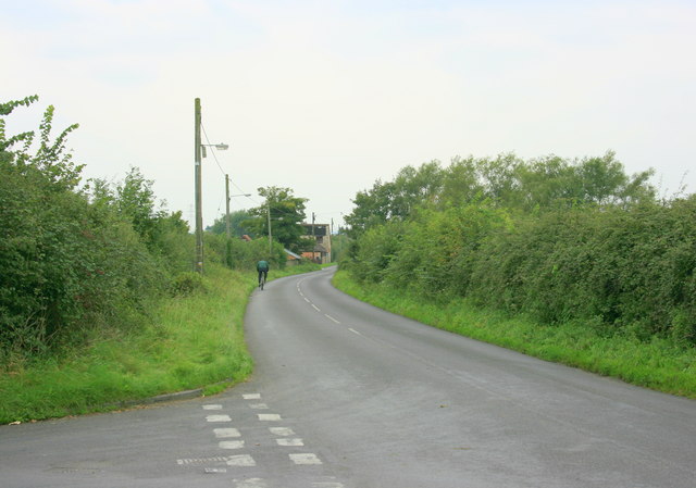
The woodland is a popular destination for outdoor activities such as hiking, walking, and birdwatching. Several well-maintained trails wind through the plantation, allowing visitors to explore its diverse landscapes and discover hidden gems along the way. The plantation also offers picnic areas and designated camping spots for those who wish to spend more time in this idyllic setting.
Chapel Plantation, with its enchanting beauty, thriving wildlife, and recreational opportunities, is truly a gem in the heart of Wiltshire's countryside.
If you have any feedback on the listing, please let us know in the comments section below.
Chapel Plantation Images
Images are sourced within 2km of 51.380256/-2.0976425 or Grid Reference ST9364. Thanks to Geograph Open Source API. All images are credited.


Chapel Plantation is located at Grid Ref: ST9364 (Lat: 51.380256, Lng: -2.0976425)
Unitary Authority: Wiltshire
Police Authority: Wiltshire
What 3 Words
///snipe.president.mild. Near Melksham, Wiltshire
Related Wikis

Sandridge, Wiltshire
Sandridge is a dispersed rural community to the east of Melksham, Wiltshire, England. It is part of the civil parish of Melksham Without. An Ordnance...

Melksham Without
Melksham Without is a civil parish in the county of Wiltshire, England. It surrounds, but does not include, the town of Melksham and is the largest rural...
Redstocks
Redstocks is a hamlet in Wiltshire, England; it is in the civil parish of Melksham Without and is 1.7 miles (2.7 km) east of Melksham. From 1886 to 1950...

Melksham Town F.C.
Melksham Town Football Club is a football club based in Melksham, Wiltshire, England. Affiliated to the Wiltshire Football Association, they are currently...

Melksham Oak Community School
Melksham Oak Community School is a mixed secondary school and sixth form located in the southeast outskirts of Melksham, Wiltshire, England, for students...

Seend railway station
Seend railway station was near the village of Seend in Wiltshire, England. The station was a stop on the Devizes Branch Line, between Semington and Bromham...

Ebenezer Chapel, Melksham
The Ebenezer Chapel is a Baptist place of worship in the town of Melksham in the English county of Wiltshire. The chapel was built in 1835. It has been...

Melksham
Melksham () is a town and civil parish on the River Avon in Wiltshire, England, about 4.5 miles (7 km) northeast of Trowbridge and 6 miles (10 km) south...
Nearby Amenities
Located within 500m of 51.380256,-2.0976425Have you been to Chapel Plantation?
Leave your review of Chapel Plantation below (or comments, questions and feedback).