Quarry Plantation
Wood, Forest in Wiltshire
England
Quarry Plantation
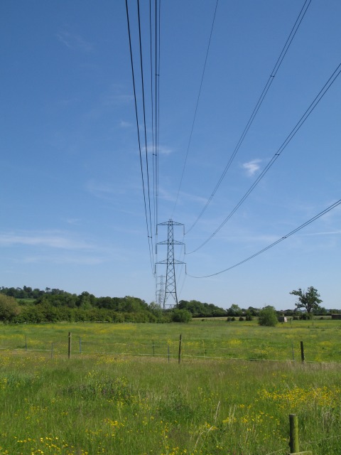
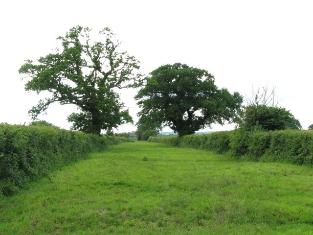
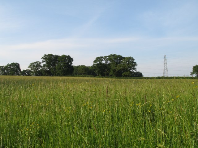
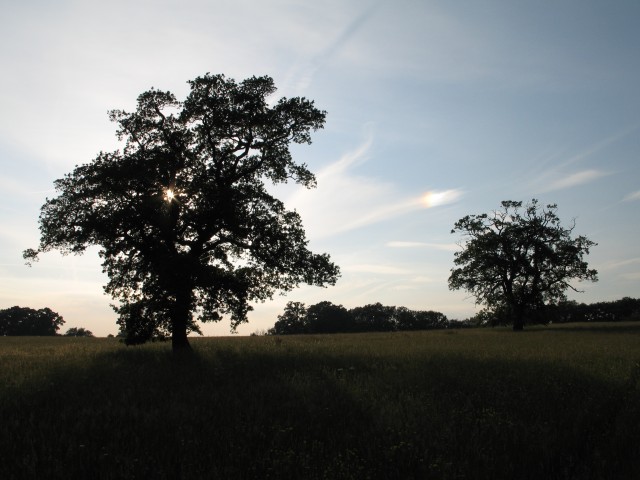
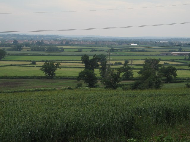
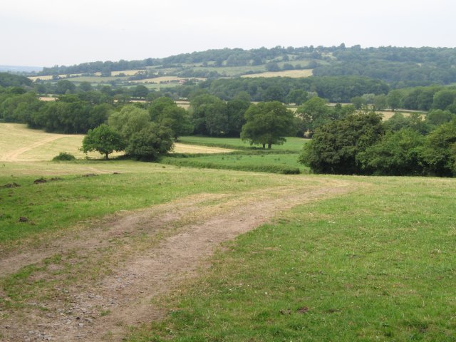
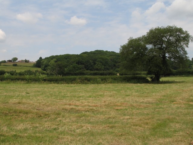
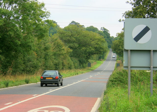
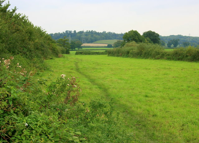
Quarry Plantation, located in Wiltshire, England, is a picturesque woodland area known for its natural beauty and historical significance. Spanning approximately 200 acres, this forested region is characterized by a diverse range of trees, including oak, beech, and ash, creating a vibrant and lush environment.
The plantation is believed to have originated in the medieval period, when it served as a source of timber for construction and fuel. Over the centuries, Quarry Plantation became an important resource for the local community, providing wood for various purposes, such as building materials and charcoal production.
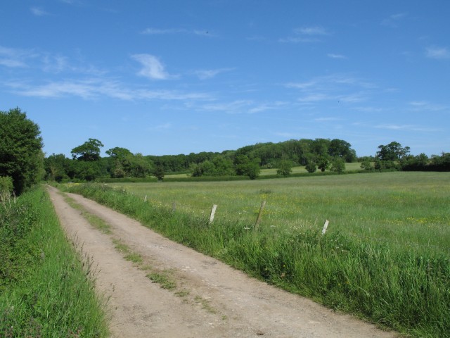
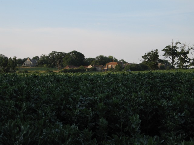
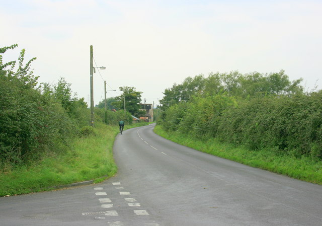
Today, Quarry Plantation is managed by the local authorities and is open to the public, attracting nature enthusiasts, hikers, and birdwatchers. The woodland boasts a network of well-maintained footpaths and trails, allowing visitors to explore the area and appreciate its natural splendor. The forest is home to a rich variety of wildlife, including deer, foxes, rabbits, and a wide array of bird species.
In addition to its natural beauty, Quarry Plantation also offers historical intrigue. The remnants of ancient quarrying activities can still be seen within the woodland, with evidence of stone extraction dating back centuries. These quarries were once crucial for the construction of local buildings and landmarks.
Overall, Quarry Plantation in Wiltshire is a captivating destination, combining natural wonders with a fascinating historical heritage. Whether for a peaceful stroll, wildlife observation, or an appreciation of local history, this woodland sanctuary offers a serene and enriching experience for visitors of all ages.
If you have any feedback on the listing, please let us know in the comments section below.
Quarry Plantation Images
Images are sourced within 2km of 51.382533/-2.0952334 or Grid Reference ST9364. Thanks to Geograph Open Source API. All images are credited.


Quarry Plantation is located at Grid Ref: ST9364 (Lat: 51.382533, Lng: -2.0952334)
Unitary Authority: Wiltshire
Police Authority: Wiltshire
What 3 Words
///tailwind.renders.padlock. Near Melksham, Wiltshire
Related Wikis

Sandridge, Wiltshire
Sandridge is a dispersed rural community to the east of Melksham, Wiltshire, England. It is part of the civil parish of Melksham Without. An Ordnance...

Melksham Without
Melksham Without is a civil parish in the county of Wiltshire, England. It surrounds, but does not include, the town of Melksham and is the largest rural...
Redstocks
Redstocks is a hamlet in Wiltshire, England; it is in the civil parish of Melksham Without and is 1.7 miles (2.7 km) east of Melksham. From 1886 to 1950...

Melksham Town F.C.
Melksham Town Football Club is a football club based in Melksham, Wiltshire, England. Affiliated to the Wiltshire Football Association, they are currently...

Bromham, Wiltshire
Bromham is a village and civil parish in Wiltshire, England. The village is 3+1⁄2 miles (6 km) northwest of Devizes and the same distance east of Melksham...
Spye Park
Spye Park is a former country estate in Bromham parish in Wiltshire, England. It lies north of Chittoe, about 1.5 miles (2.4 km) north-west of Bromham...

Melksham Oak Community School
Melksham Oak Community School is a mixed secondary school and sixth form located in the southeast outskirts of Melksham, Wiltshire, England, for students...

Seend railway station
Seend railway station was near the village of Seend in Wiltshire, England. The station was a stop on the Devizes Branch Line, between Semington and Bromham...
Nearby Amenities
Located within 500m of 51.382533,-2.0952334Have you been to Quarry Plantation?
Leave your review of Quarry Plantation below (or comments, questions and feedback).