Lower Withington
Civil Parish in Cheshire
England
Lower Withington
Lower Withington is a civil parish located in the county of Cheshire, England. It is situated approximately 7 miles east of the town of Congleton and 8 miles west of the city of Macclesfield. The parish covers an area of about 5.4 square miles and has a population of around 400 people.
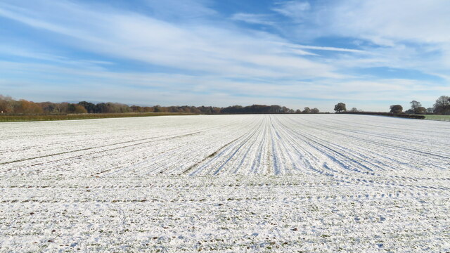
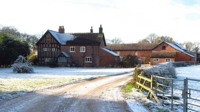
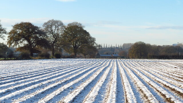
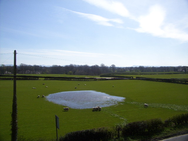
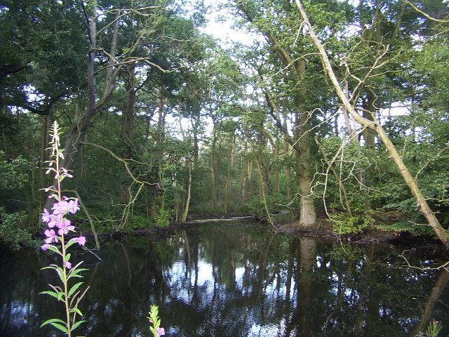
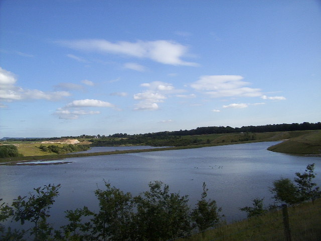
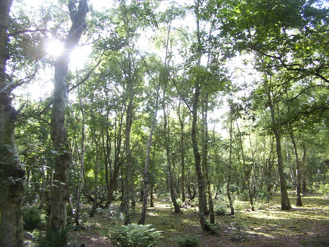
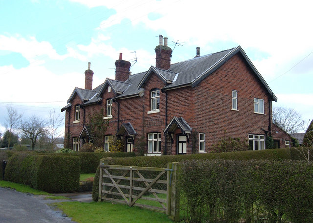
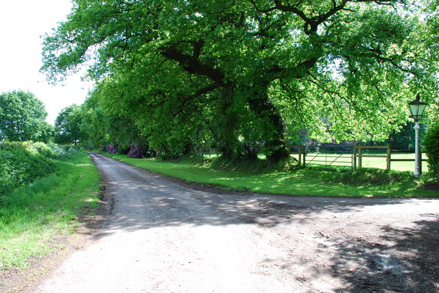
The village of Lower Withington is nestled in the picturesque Cheshire countryside, surrounded by rolling hills and farmland. The area is known for its tranquil and rural character, making it an attractive destination for those seeking a peaceful retreat.
The village itself is small, consisting of a few residential properties, a village hall, and a local church dedicated to St. Peter. The church, which dates back to the 14th century, is a prominent feature in the village and holds regular services for the local community.
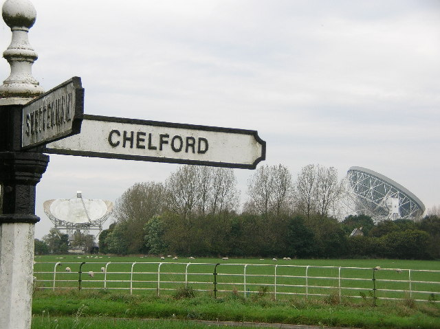
Lower Withington is well-connected to the surrounding areas, with good transport links to nearby towns and cities. The A537 road runs through the parish, providing easy access to major routes such as the A34 and the M6 motorway.
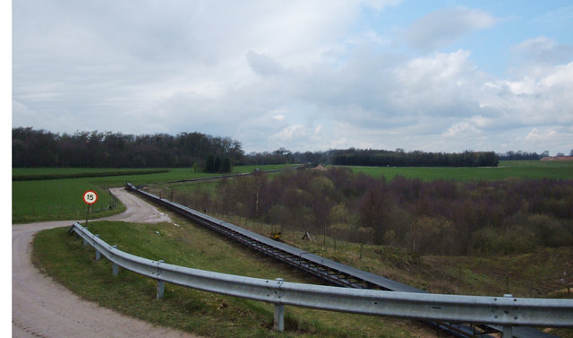
The countryside surrounding Lower Withington offers plenty of opportunities for outdoor activities. There are several walking and cycling routes in the area, allowing visitors to explore the beautiful Cheshire landscape. The nearby Macclesfield Forest and Teggs Nose Country Park provide additional recreational options, with woodland walks, picnic areas, and stunning views.
Overall, Lower Withington is a charming and peaceful civil parish that boasts a beautiful rural setting, making it an ideal location for those seeking a tranquil escape from the hustle and bustle of city life.
If you have any feedback on the listing, please let us know in the comments section below.
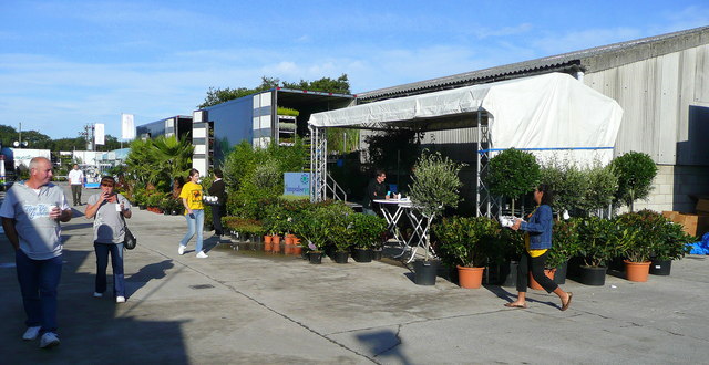
Lower Withington Images
Images are sourced within 2km of 53.235146/-2.278037 or Grid Reference SJ8170. Thanks to Geograph Open Source API. All images are credited.

Lower Withington is located at Grid Ref: SJ8170 (Lat: 53.235146, Lng: -2.278037)
Unitary Authority: Cheshire East
Police Authority: Cheshire
What 3 Words
///studio.reclaimed.debating. Near Siddington, Cheshire
Nearby Locations
Related Wikis

Lower Withington
Lower Withington is a civil parish and village in Cheshire, England. At the 2001 census, it had a population of 492. Jodrell Bank Observatory lies mostly...
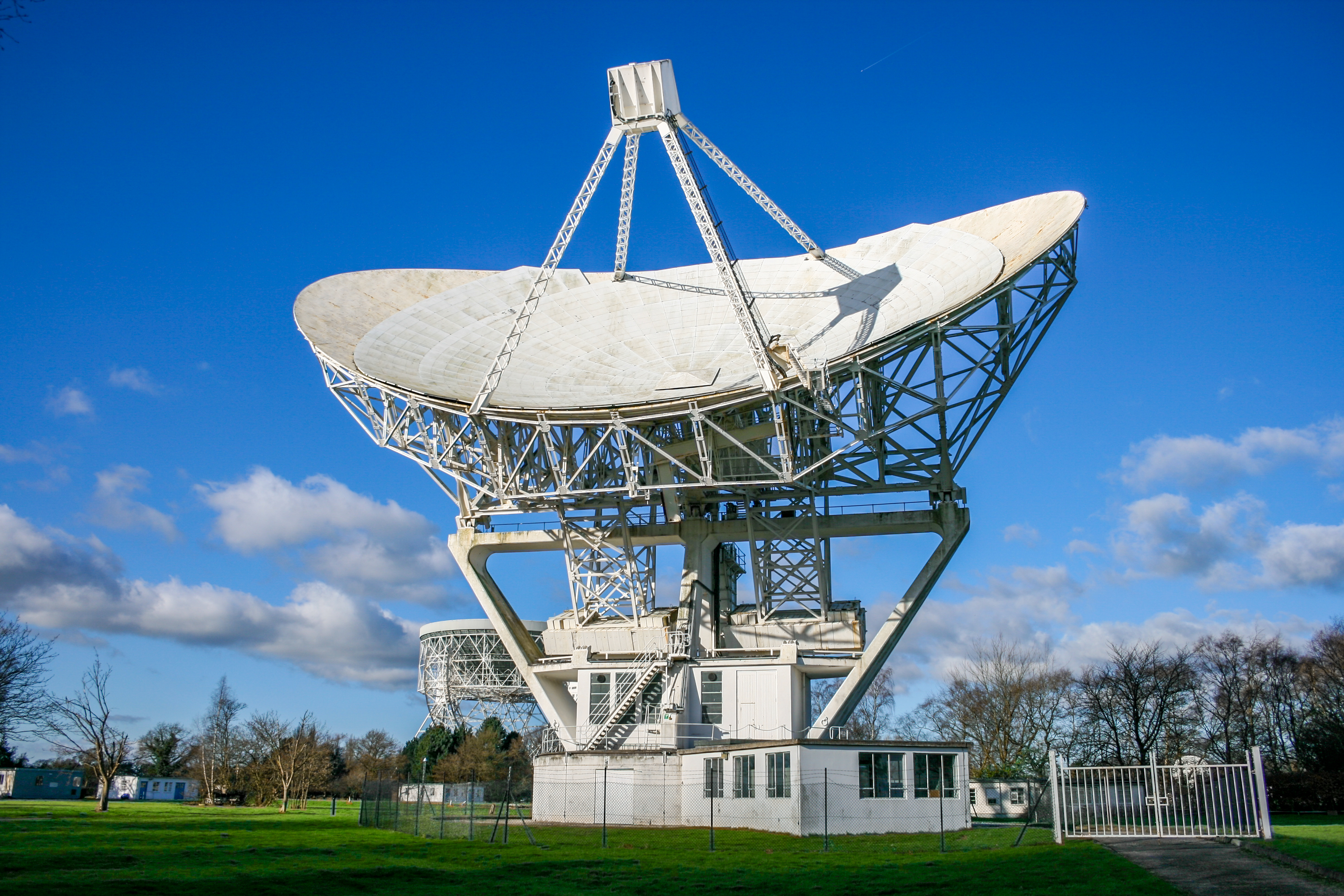
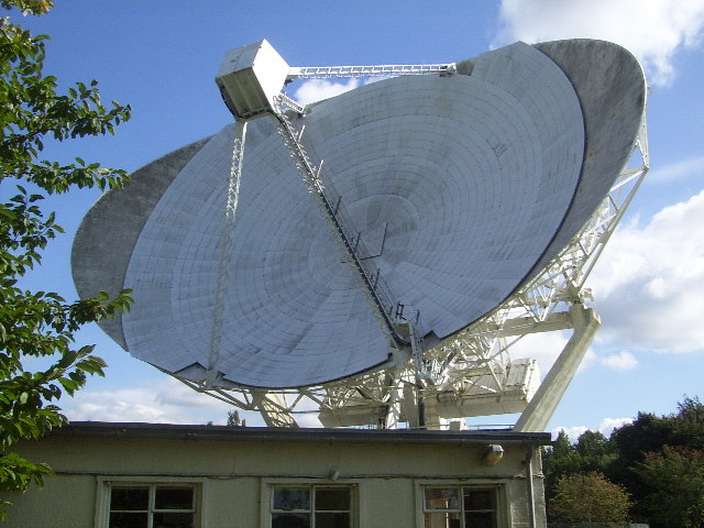
Mark II (radio telescope)
The Mark II is a radio telescope located at Jodrell Bank Observatory, near Goostrey, Cheshire, in the north-west of England. It was built on the site of...

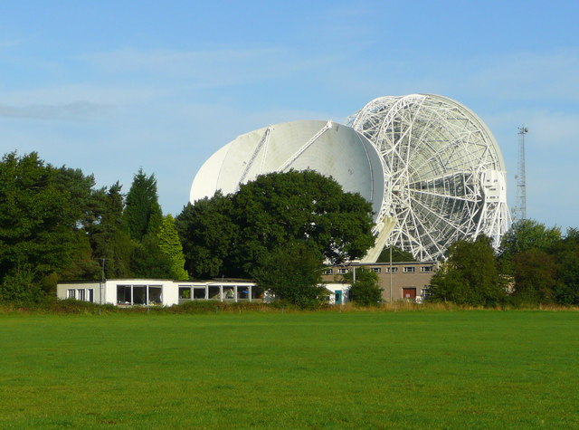
Jodrell Bank Observatory
Jodrell Bank Observatory ( JOD-rəl) in Cheshire, England, hosts a number of radio telescopes as part of the Jodrell Bank Centre for Astrophysics at the...
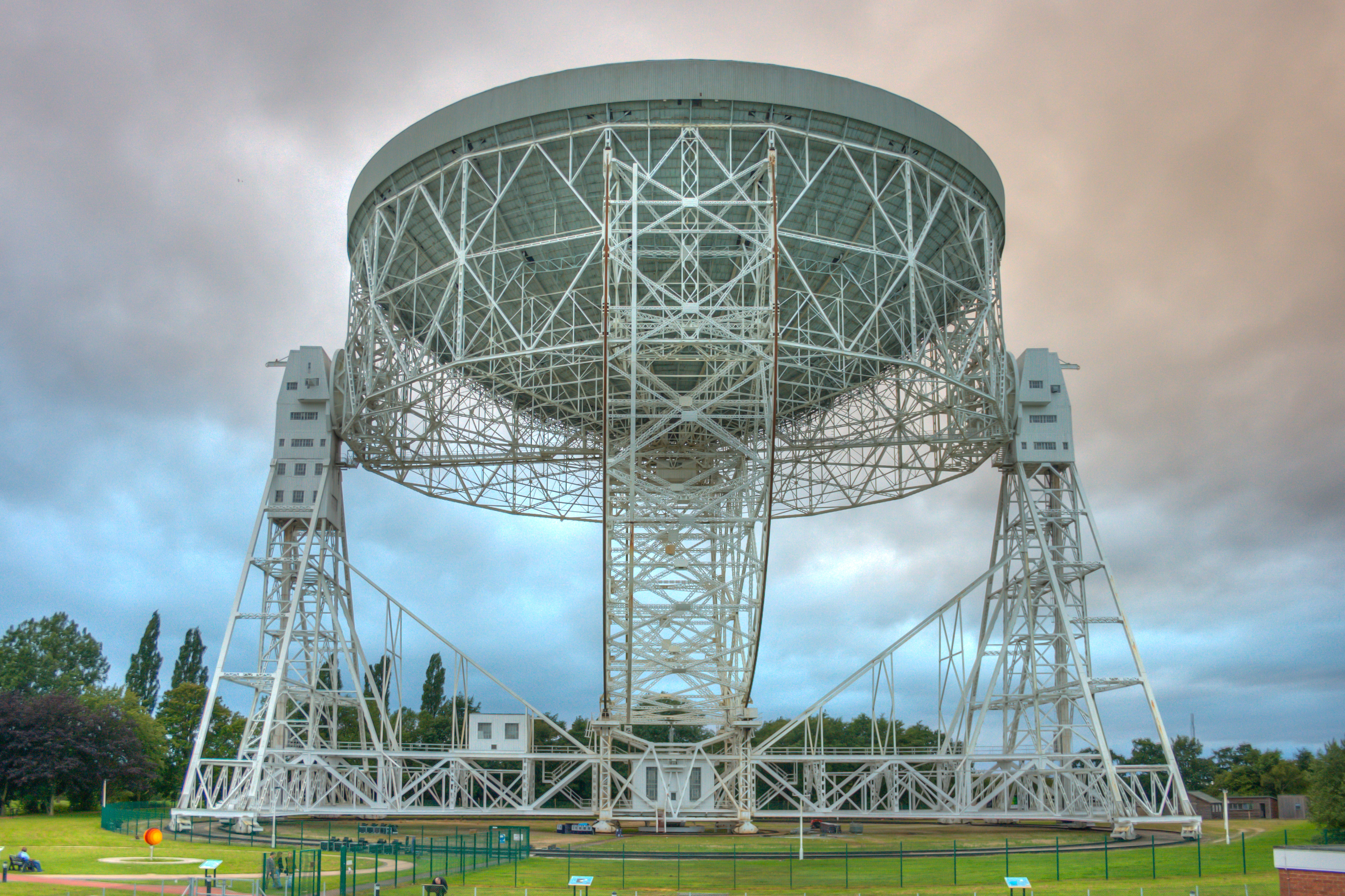
Lovell Telescope
The Lovell Telescope ( LUV-əl) is a radio telescope at Jodrell Bank Observatory, near Goostrey, Cheshire, in the north-west of England. When construction...

Terra Nova School
Terra Nova School is a prep school in Cheshire, England for children from two and a half to thirteen years of age. It began as a school for boys in 1897...
Jodrell Hall
Jodrell Hall is a country house near Jodrell Bank in the parish of Twemlow, in the county of Cheshire, England. Requisitioned during World War II, the...

Astle Park
Astle Park is an area of land in the countryside a mile or so south of Chelford in Cheshire in England, on the west side of the A535 road (Holmes Chapel...

Siddington, Cheshire
Siddington is a civil parish in Cheshire, England. It consists of farms; a picnic site; Redesmere, a half-mile long lake; and the Capesthorne Estate. The...
Nearby Amenities
Located within 500m of 53.235146,-2.278037Have you been to Lower Withington?
Leave your review of Lower Withington below (or comments, questions and feedback).